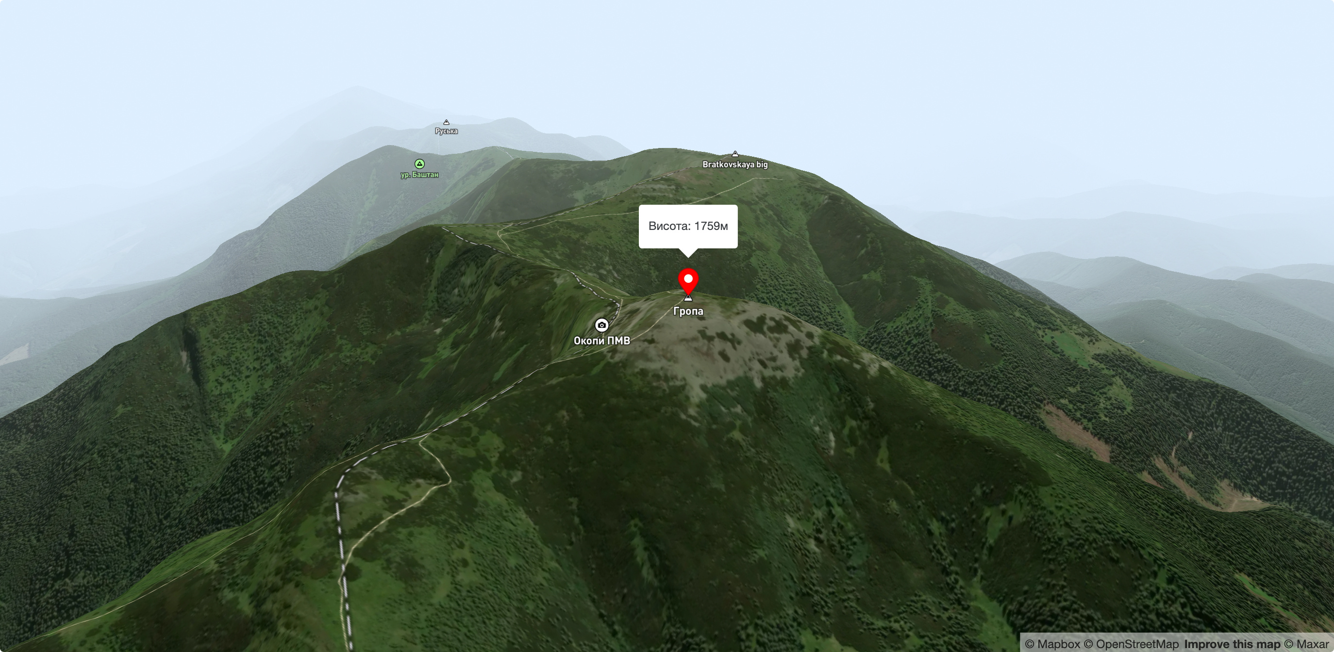
Mount Grope
Mount Gropa (height - 1759 m (according to other sources - 1763 m)) is a peak in the Ukrainian Carpathians, located on the Bratkivsky ridge of the Horhan mountain range. It lies on the border of Tyachiv district of Zakarpattia region and Nadvirna district of Ivano-Frankivsk region.
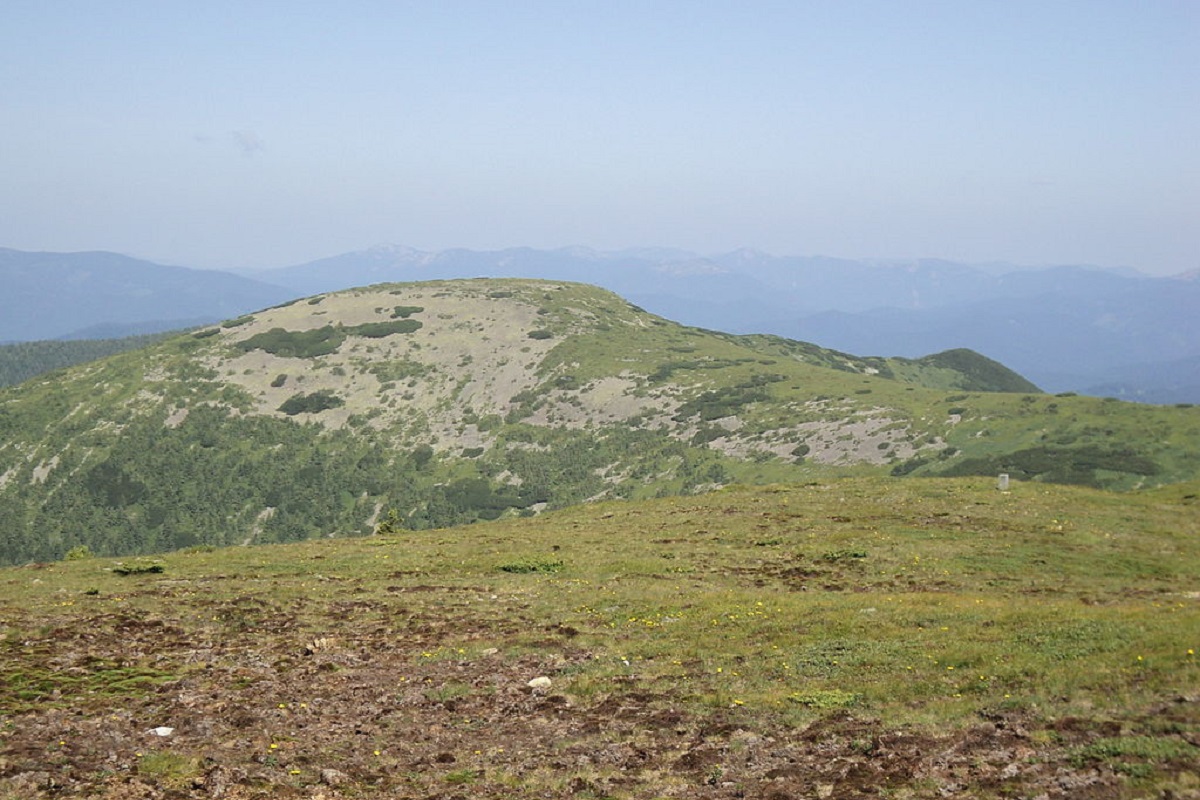
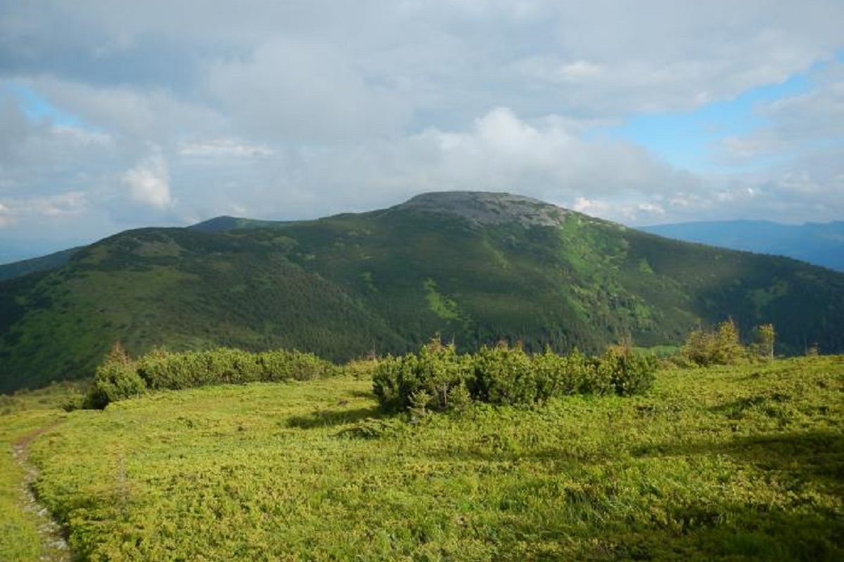
The top of Gropa and its slopes are unforested, covered with hard-to-pass thickets of alpine pine (fir) and numerous stone placers and scree typical of the Gorgan Mountains. The foot of the peak is covered with forests.
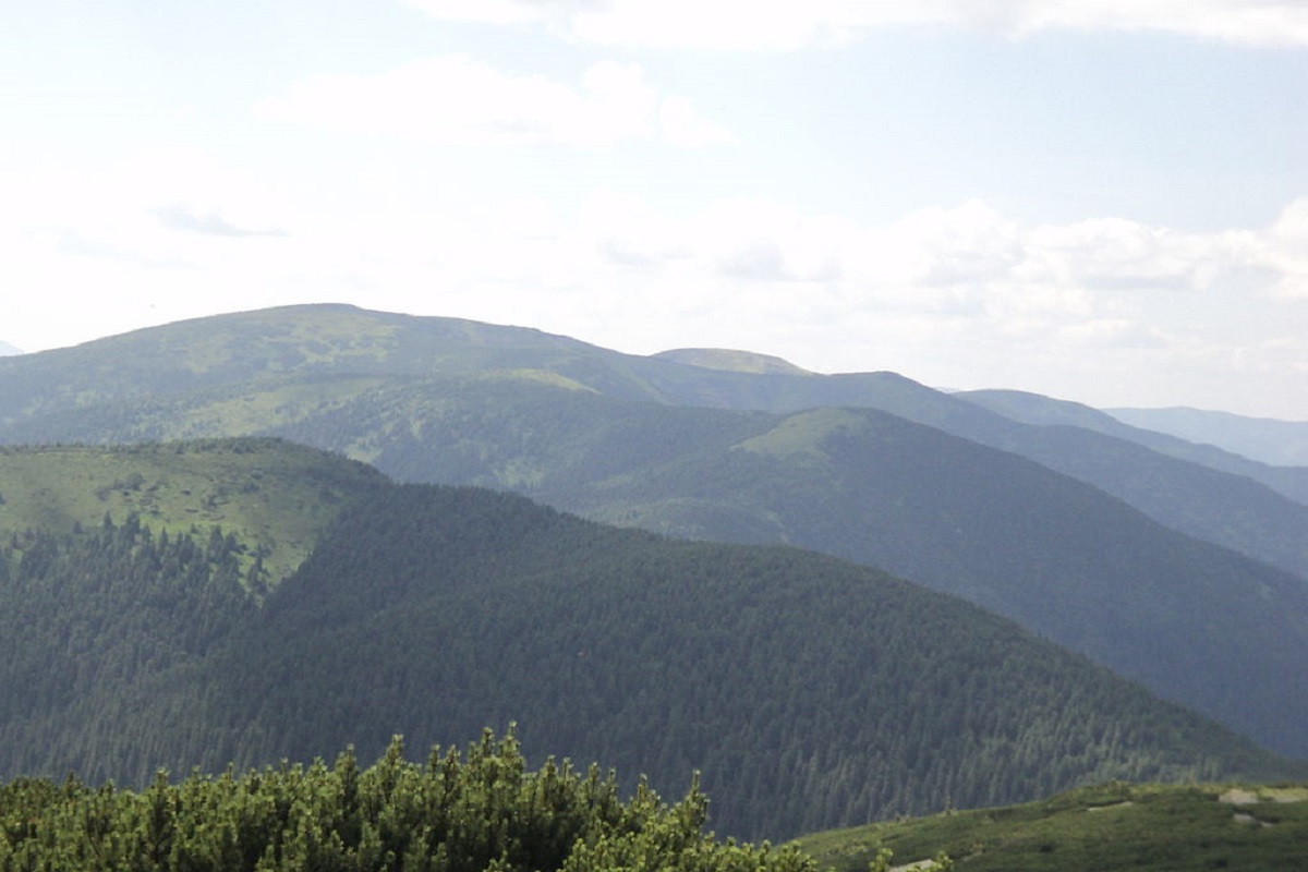
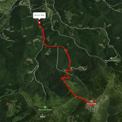
To the northwest of Mount Gropa is Mount Durnia, to the southwest is Mount Bratkivska, and to the northeast is the Verkhne Ozeryshche tract, a complex natural monument of national importance, which is very popular among fans of outdoor activities in the mountains.
The nearest settlements are the village of Bystrytsia and the village of Lopukhiv in Nadvirna and Tyachiv districts of Zakarpattia region, respectively.
Accommodation around Mount Grope:


Nearby hiking trails near Mount Grope:

Which trails pass by Mount Grope?
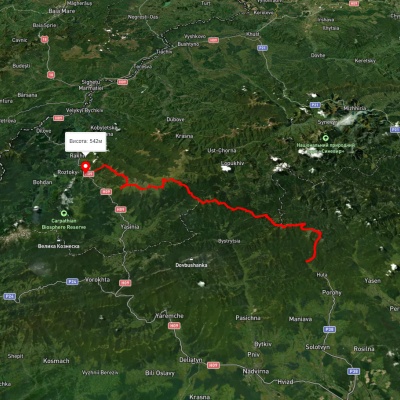
We suggest these hiking trails through or near Mount Grope: Bystrytsia village – Mount Hropa – Bystrytsia village, Stara Huta village, via Mount Vysoka, Mount Syvulia, Mount Durnia, Mount Bratkivska, Mount Tataruka and Mount Blyznytsia to Bilyn village, Bystrytsia village, via Mount Hropa, Mount Bratkivska and Mount Chorna Kleva to Polianytsia village, Kvasy village, via Mount Blyznytsia, Mount Tataruka and Mount Bratkivska to Bystrytsia village, Bystrytsia village, via Mount Durnia, Mount Bratkivska, Mount Tataruka and Mount Blyznytsia to Kvasy village, Bystrytsia village, via Klympushi village, Mount Hropa, Mount Bratkivska, Mount Ruska and Mount Chorna Kleva to Bystrytsia village