Mount Yayko-Pereginske
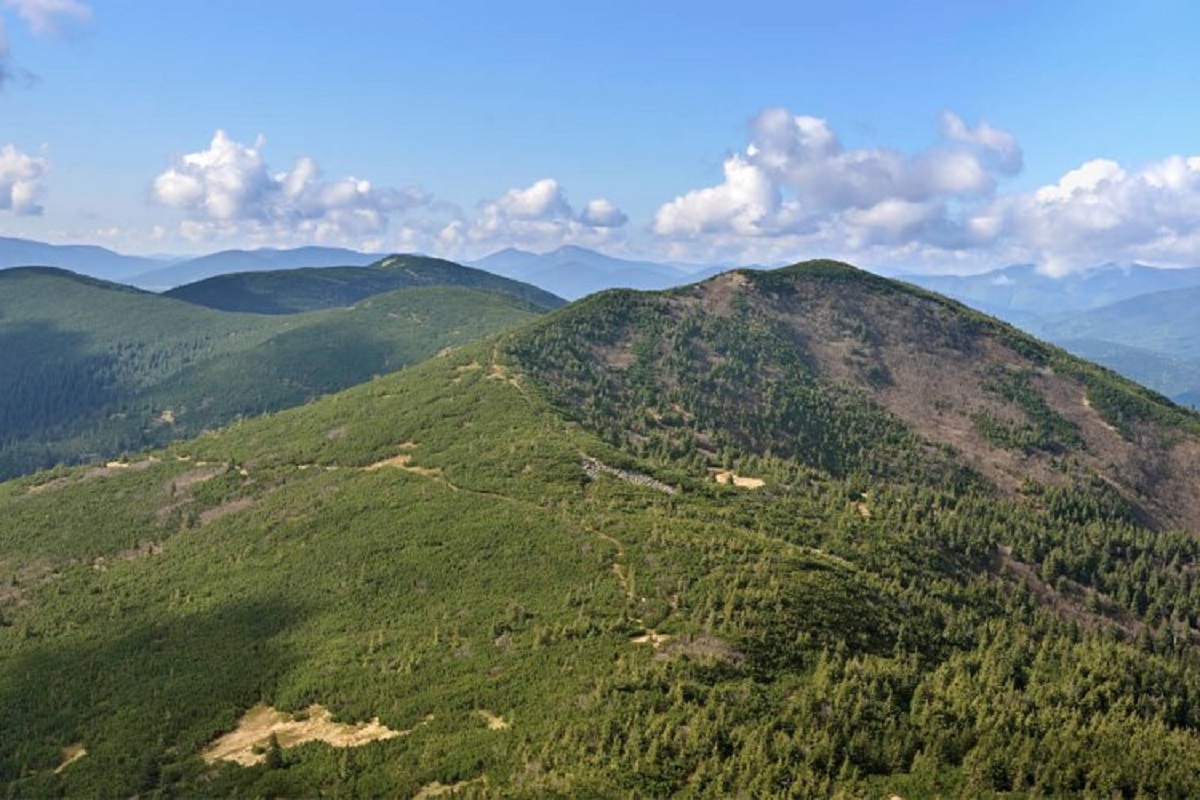
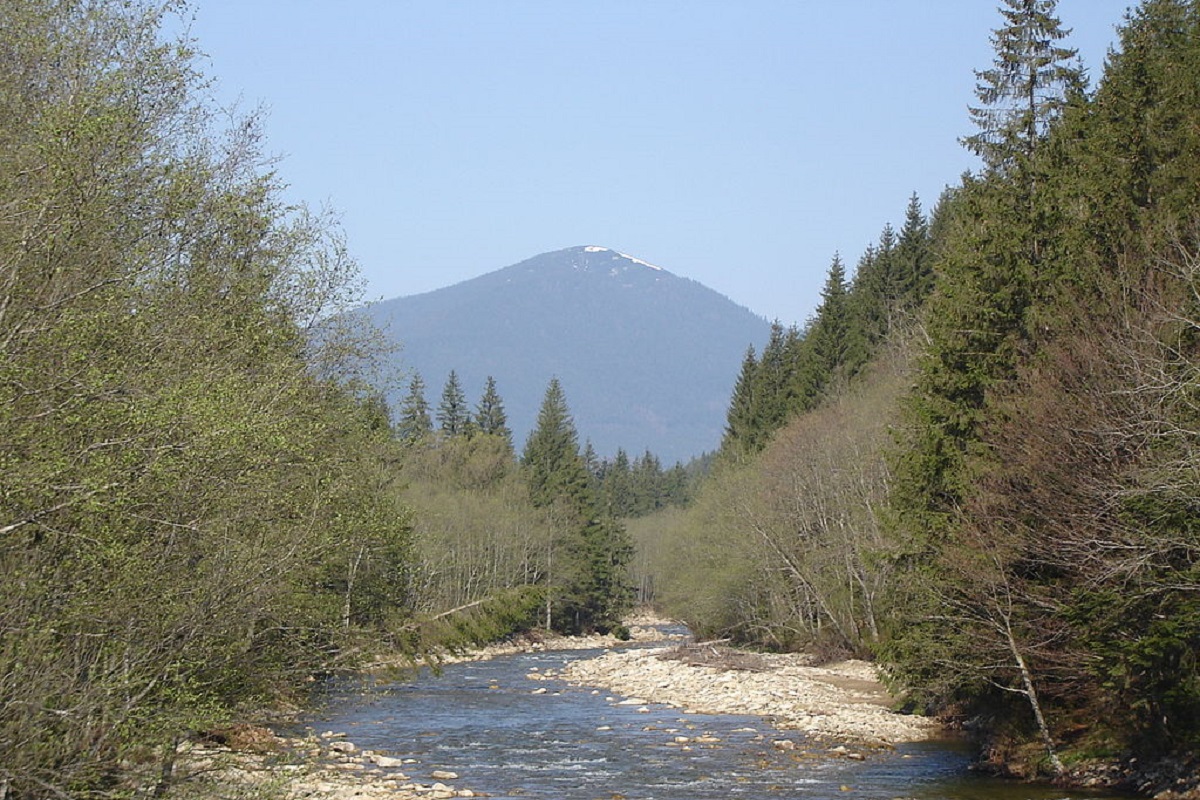
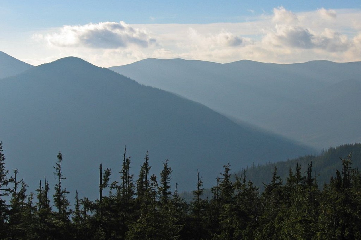
Yayko-Perehinske (the mountain got its name because of its characteristic shape, which resembles an egg from a distance) is a mountain peak in the Ukrainian Carpathians, which is located within the Gorgan massif. It is located in the Rozhnyativ district of Ivano-Frankivsk region, to the west of the village of Osmoloda.
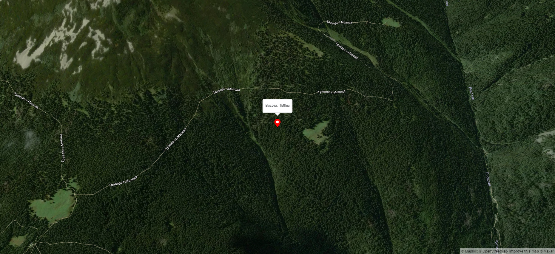
The height of the mountain is 1595 meters.
The top of Yayko-Perehinske Mountain is covered with dense thickets of alpine pine - zherep, the slopes are covered with centuries-old beech and spruce forests.
On the southern slope of the mountain there is a botanical reserve of national importance "Yaykivsky", created to protect the forest landscapes of virgin forests, on the southeastern slope - the Guki tract.
The Verkhove Boloto hydrological natural monument is located not far from the peak.
The nearest settlement is the village of Osmoloda (Rozhnyativ district , Ivano-Frankivsk region).
Accommodation around Mount Yayko-Pereginske:


Nearby hiking trails near Mount Yayko-Pereginske:
Які маршрути проходять повз Mount Yayko-Pereginske?
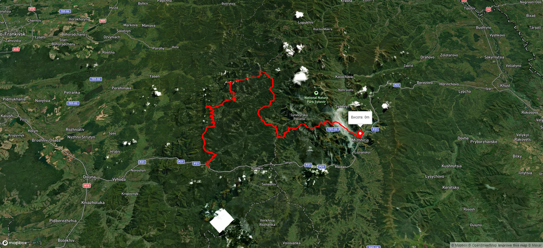
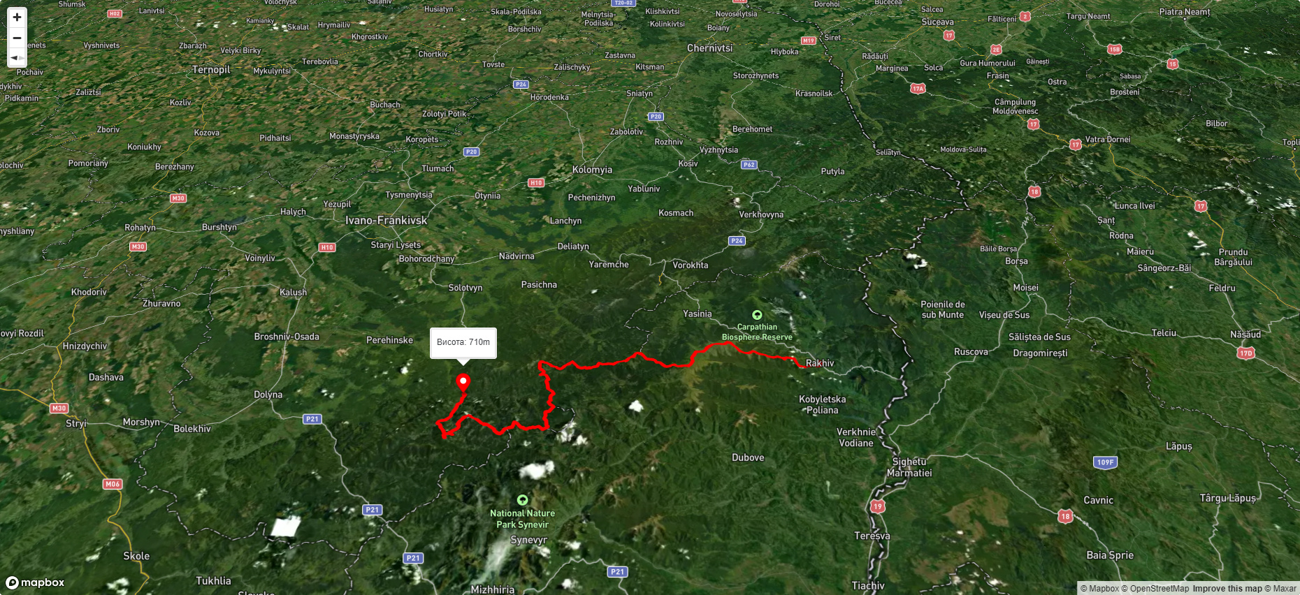
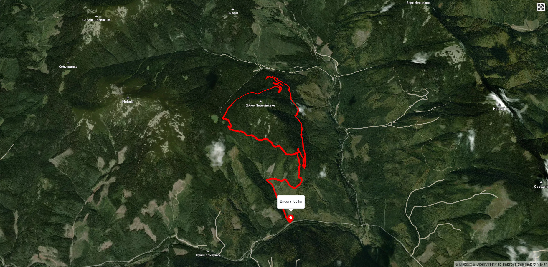
Пропонуємо пройти такі туристичні (пішохідні) маршрути через/біля Mount Yayko-Pereginske: с. Мислівка, через г. Молода, г. Попадя, с. Свобода, оз. Синевир, г. Озерна до смт. Міжгір'я, м. Рахів, через г. Близниця, г. Трояска, г. Братківська до с. Осмолода, Eкостежка довкола Яйка Перегінського, Східно-Карпатський туристичний шлях, с. Осмолода, через г. Попадя, г. Коретвина, г. Грофа, г. Молода, г. Яйко-Ілемське до с. Мислівка, с. Мислівка, через хр. Аршиця, г. Молода, г. Яйко-Ілемське до с. Мислівка