Mount Bratkivska
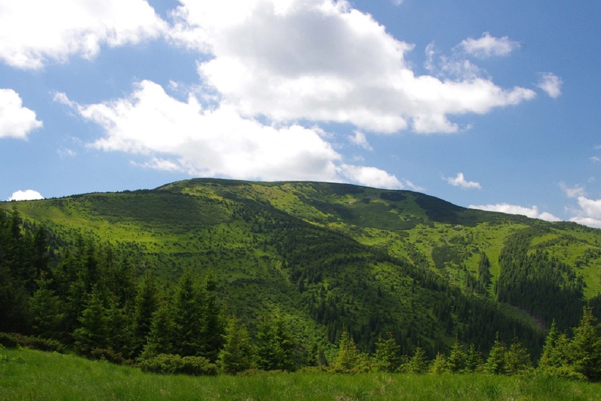
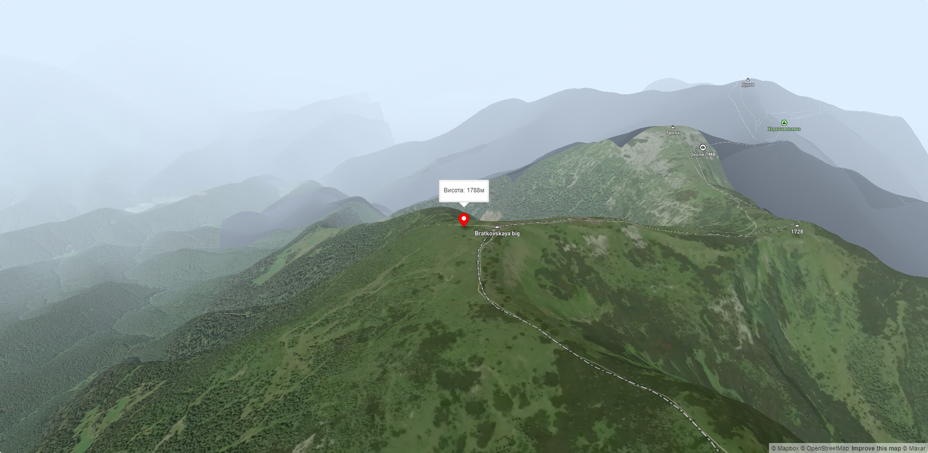
Mount Bratkivska is a peak in the Ukrainian Carpathians, 1788 m high (some sources give other data - 1792 m). The mountain is located on the eponymous ridge of the Gorgan mountain range on the border of two regions: Ivano-Frankivsk and Zakarpattia.
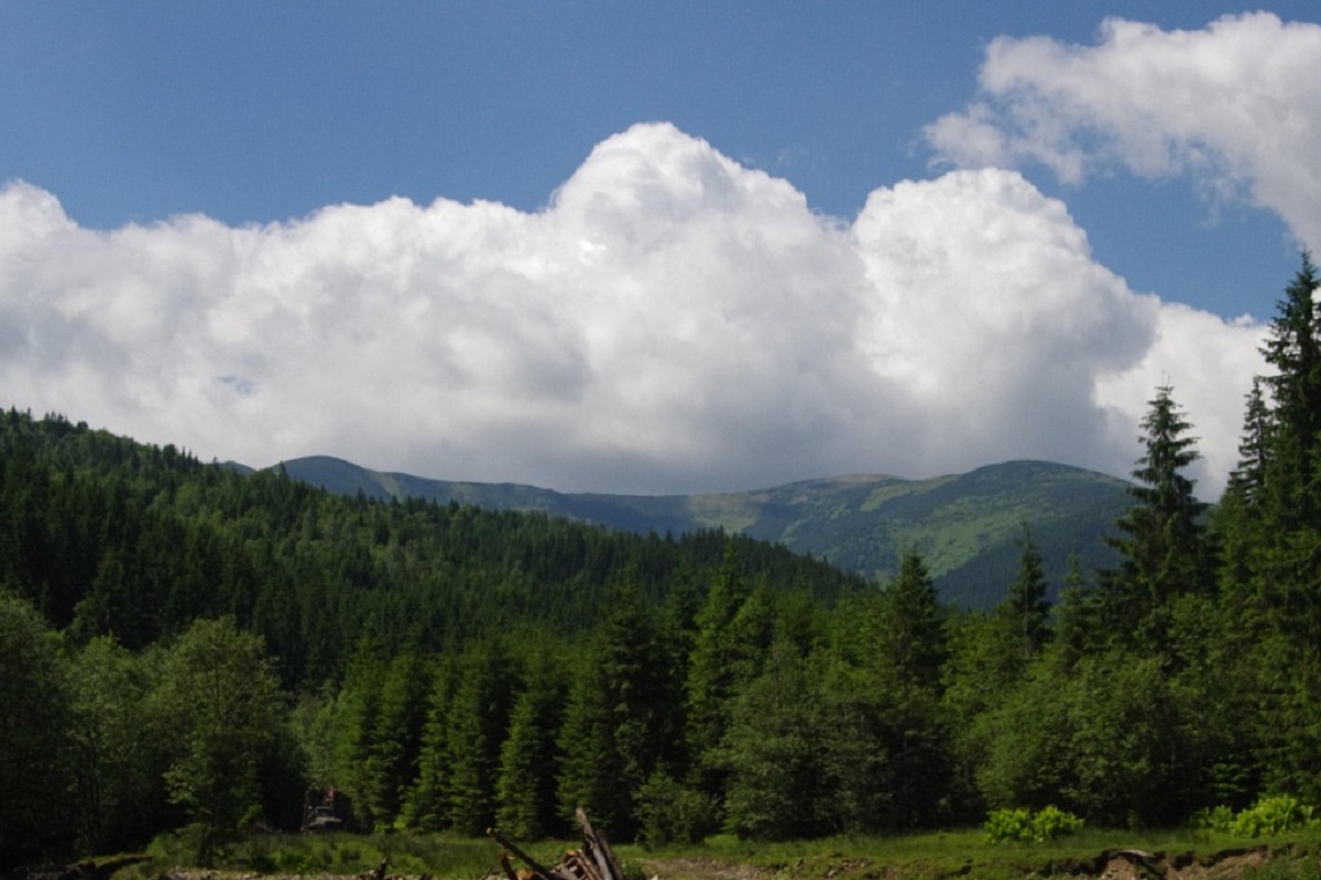
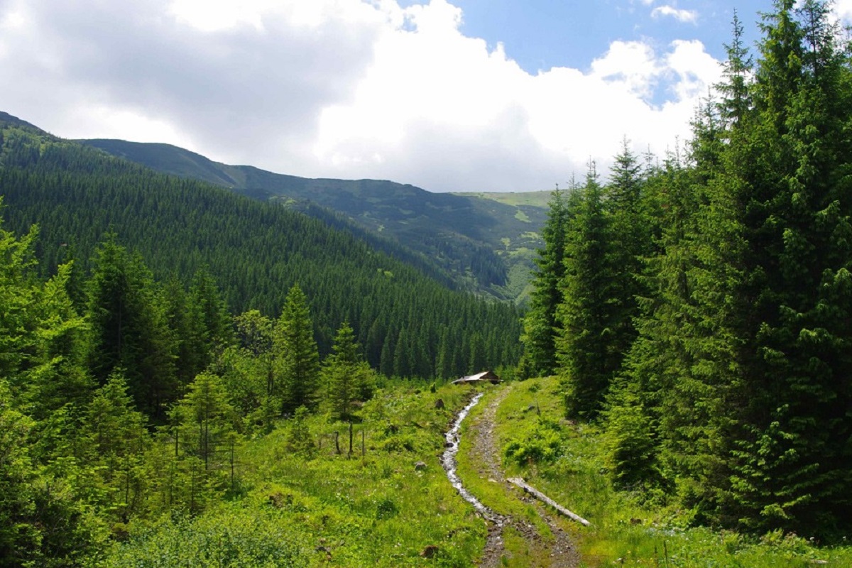
Up to an altitude of 1450-1500 meters, centuries-old spruce forests grow on the slopes of Bratkivska. Above this mark, there is a widespread crooked forest, formed mainly of alpine pine - the fir. The peak itself and the summit areas are covered with scattered stone fragments, sometimes up to 3 meters in size.
To the north-west of Bratkivska Mountain is Mount Gropa and, further behind it, Mount Durnia, to the east - Mount Ruska and Mount Chorna Kleva, to the south-south-west - the Okole Pass, through which you can actually climb to the main ridge of the Svydovets mountain range.
The nearest settlement is the village of Bystrytsia, Ivano-Frankivsk region.
Accommodation around Mount Bratkivska:


Nearby hiking trails near Mount Bratkivska:
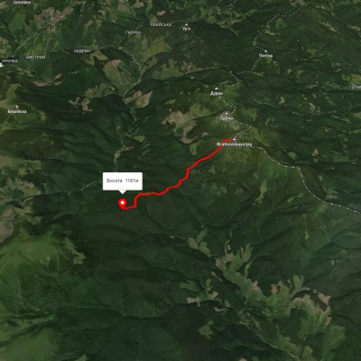
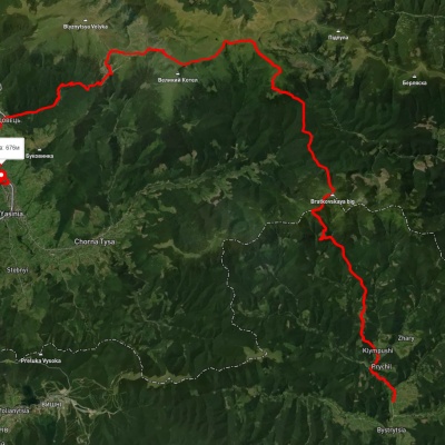
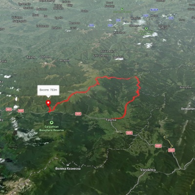
Which trails pass by Mount Bratkivska?
We suggest these hiking trails through or near Mount Bratkivska: Okole – Mount Velyka Bratkivska, Bystrytsia village, via Mount Bratkivska, Okole Pass, the Svydovets ridge, the Apshynets ridge and Dragobrat to Yasinia, Yasinia, via Mount Bratkivska, Mount Troiaska and Mount Blyznytsia to Kvasy village, Rakhiv, via Mount Blyznytsia, Mount Troiaska and Mount Bratkivska to Osmoloda village, Kvasy village, via Mount Blyznytsia, Mount Tataruka and Mount Bratkivska to Bystrytsia village, Bystrytsia village, via Mount Durnia, Mount Bratkivska, Mount Tataruka and Mount Blyznytsia to Kvasy village