Mount Gorgan-Ilemsky
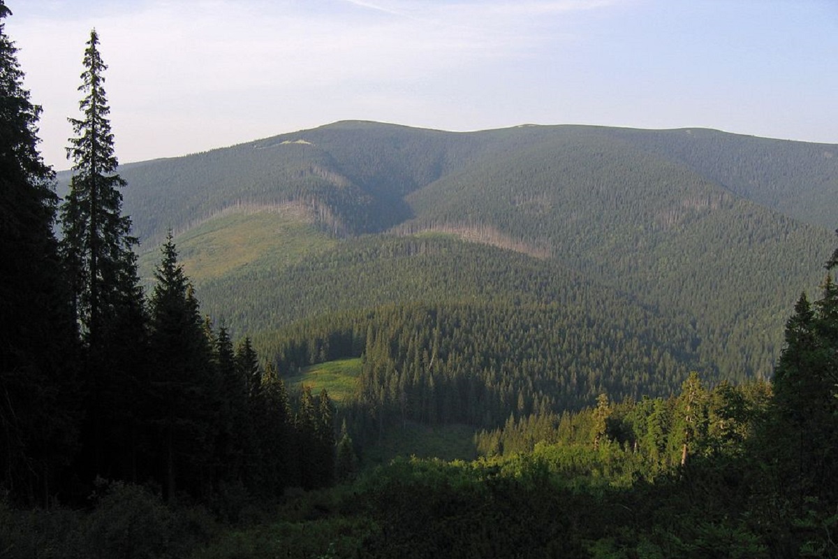
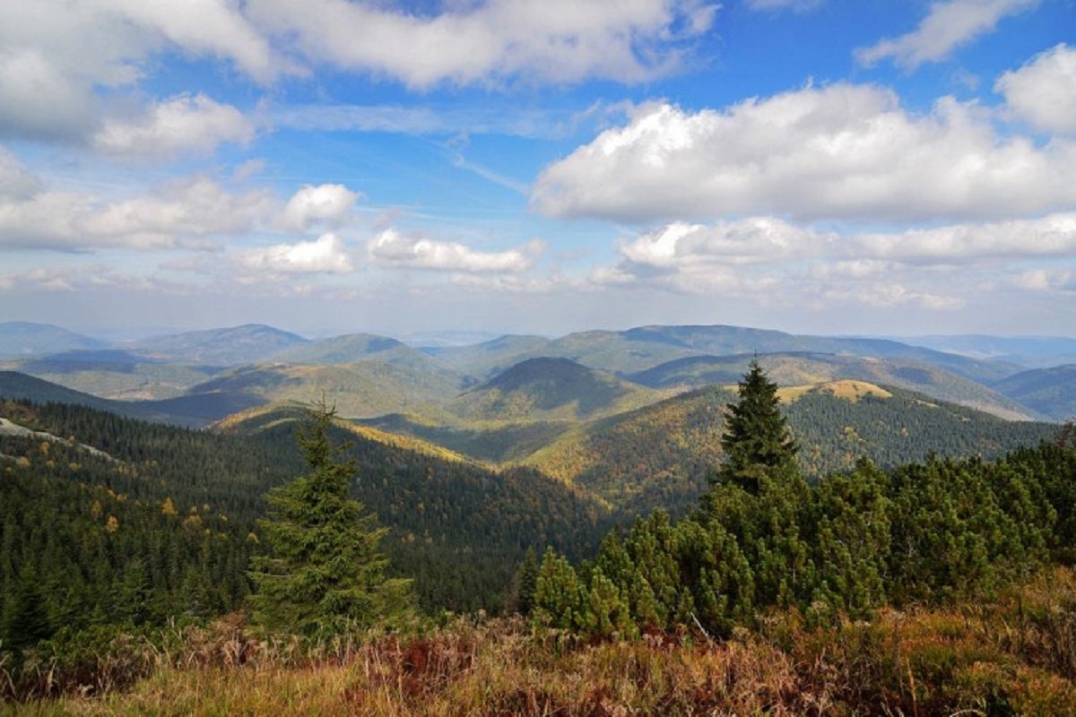
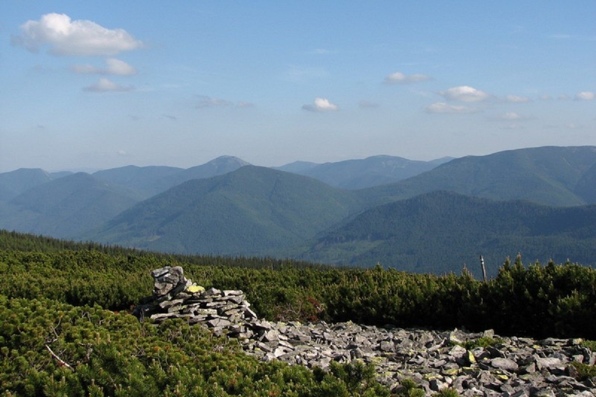
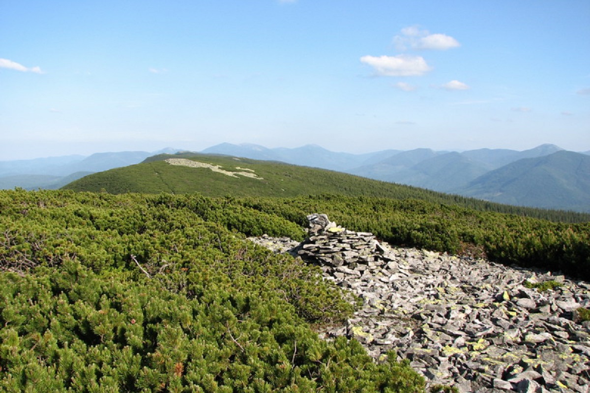
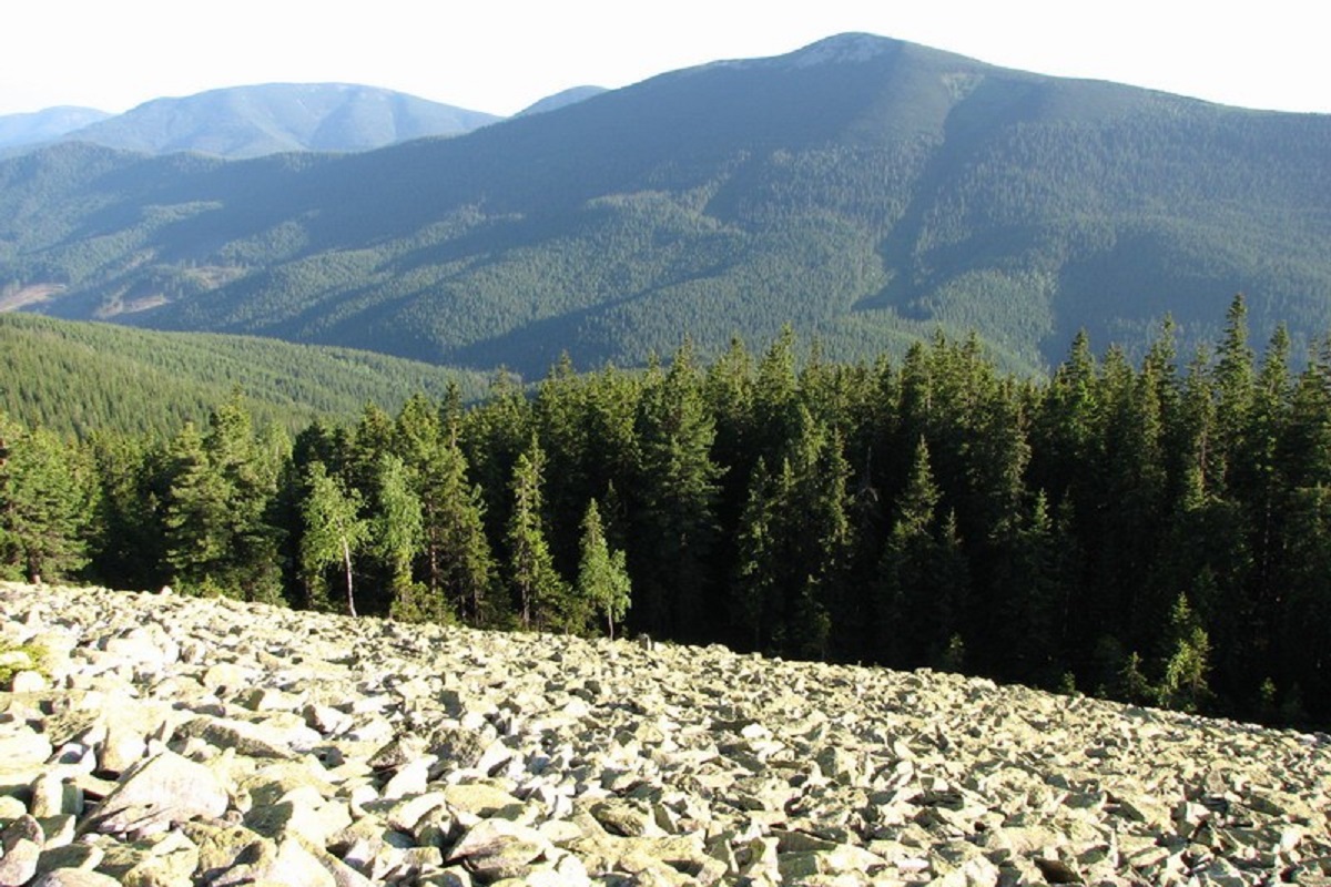
Mount Gorgan-Ilemsky is the peak of the Ukrainian Carpathians, located on the Arshytsia ridge of the Gorgan mountain range. It is located on the border of two districts of Ivano-Frankivsk region: Rozhnyativ and Dolyna.
The height of Gorgan-Ilemsky Mountain is 1587 meters.
The peak is unforested, has an asymmetrical, conical shape with rather steep slopes covered with ancient spruce and pine forests up to a height of 1300-1400 meters. As with other Gorgan peaks, Gorgan-Ilemsky is characterized by characteristic stone placers, scree and so-called "stone rivers".
On the slopes of Gorgan-Ilemsky Mountain, at an altitude of 1200-1500 meters, there is the Arshytsia reserve tract, created to preserve alpine spruce and pine virgin forests several hundred years old.
On the northwestern slopes of the peak, the Ilma River has its source.
To the northwest of Mount Gorgan-Ilemsky is Mount Velykyi Pustoshak, to the northeast - Mt. Sykhlos mountain, to the south - Yayko-Ilemske mountain, to the west - the valley of the Svicha river.
The nearest settlement is the village of Myslivka (Dolyna district , Ivano-Frankivsk region).
Location on the map
Water and shelter nearby
- Spring below Mount Horhan-Ilemskyi (7)420 m · Not verified · 1 420 m
- Spring below Mount Horhan-Ilemskyi (3)510 m · Not verified · 1 382 m
- Spring below Mount Horhan-Ilemskyi (6)880 m · Not verified · 1 205 m
- Spring below Mount Horhan-Ilemskyi1.2 km · Not verified · 1 152 m
- Drinking water below Mount Horhan-Ilemskyi1.4 km · Not verified · 1 250 m
- Drinking water below Mount Horhan-Ilemskyi (2)1.7 km · Not verified · 1 261 m
- Taras's Well1.7 km · Not verified · 1 395 m
- Spring below Mount Horhan-Ilemskyi (4)1.7 km · Weak flow · 1 246 m
- Spring below Mount Horhan-Ilemskyi (5)1.9 km · Not verified · 1 200 m
- Spring below Mount Horhan-Ilemskyi (2)2.3 km · Not verified · 1 169 m
- Drinking water below Mount Horhan-Ilemskyi (3)2.4 km · Not verified · 1 270 m
- Spring (Myslivka, 5)2.6 km · Not verified · 1 144 m
- Drinking water “Trubka”2.9 km · Not verified · 1 179 m
Comments
Places to stay nearby
All stays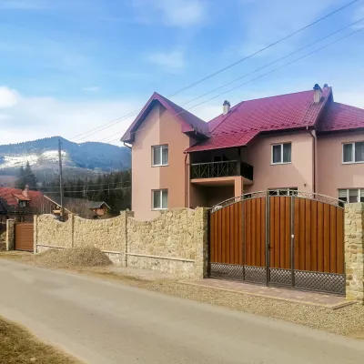 HotelDen HouseMyslivka8 km from Mount Gorgan-IlemskyPoolSaunaBreakfastNearby: Mt Gorgan-Ilemsky 8.0 kmMt Yayko-Ilemske 10.0 km7 trails
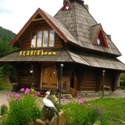 HotelHotel "Vedmid" MykulychynMyslivka8.4 km from Mount Gorgan-IlemskySaunaSPAFireplaceNearby: Mt Gorgan-Ilemsky 8.4 kmPolonyna Shchavna 9.4 km7 trails
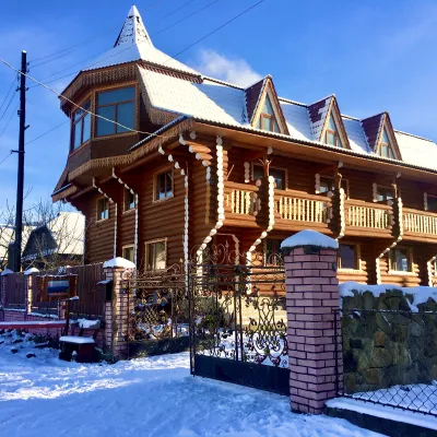 HotelChayna KhataIvano-Frankivsk16 km from Mount Gorgan-IlemskyHot tubBBQKitchen
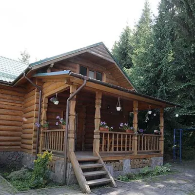 CottageCottages "Pid Lisom" VyshkivVyshkiv15 km from Mount Gorgan-IlemskyHot tubPoolSaunaNearby: Big Megla 9.3 km
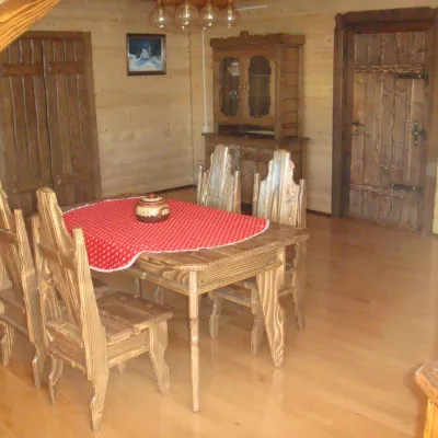 HomesteadGuest House "Zator" VyshkivVyshkiv15 km from Mount Gorgan-IlemskyPoolSaunaKitchenNearby: Big Megla 9.8 km
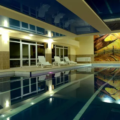 HotelHotel "Yalynka" VyshkivVyshkiv15 km from Mount Gorgan-IlemskyPoolSaunaSPANearby: Big Megla 9.9 km
Trails via Mount Gorgan-Ilemsky
All 8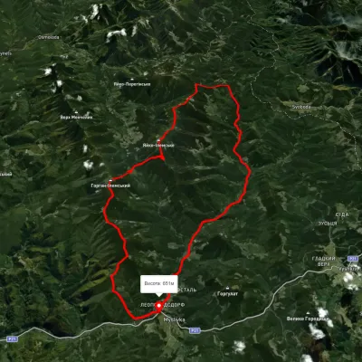 HardMulti-dayUnmarkedMyslivka village loopvia Mount Yayko-Ilemske, Mount Horhan-IlemskyiElevation profile648–1 656 m47.2 kmascent 2 092 m
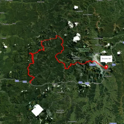 HardMulti-dayUnmarkedMyslivka village to Mizhhiriavia Mount Moloda, Mount Popadia +3Elevation profile444–1 717 m117 kmascent 6 438 m
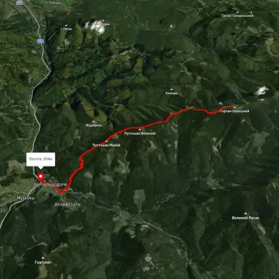 ModerateOne-dayMarkedTo Mount Horhan IlemskyiElevation profile651–1 568 m11.6 kmascent 535 m≈ 4 h walking
Nearby attractions
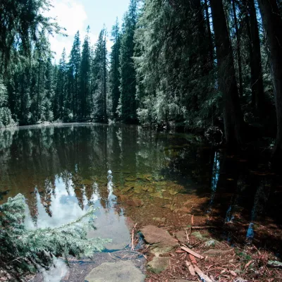 LakeLake Arshitsa, OsmolodaOsmoloda3.3 km from Mount Gorgan-IlemskyLake Arshytsia is the highest lake on the ridge (1300 m) and was recently discovered in April 2009 by a tourist from the Dolyna, Viktor Verkhovynets, as evidenced by a...
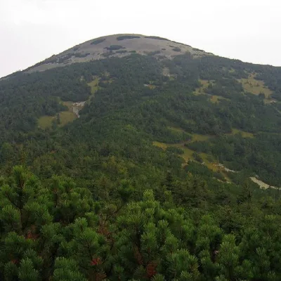 PeakMount Yayko-IlemskeMyslivkaaltitude 1 680 m · Gorgany range4.2 km from Mount Gorgan-Ilemsky7 trails to the topMount Yayko-Ilemske is the peak of the Ukrainian Carpathians, located in the western part of the Gorgan mountain range.
 WaterfallGurkalo Ilemske waterfallIlemnya8.3 km from Mount Gorgan-IlemskyGurkalo Ilemske is a waterfall in the Ukrainian Carpathians (Gorgany massif). It is located within the Rozhniativ district of Ivano-Frankivsk region, 7 km southwest of...