Mount Yayko-Ilemske
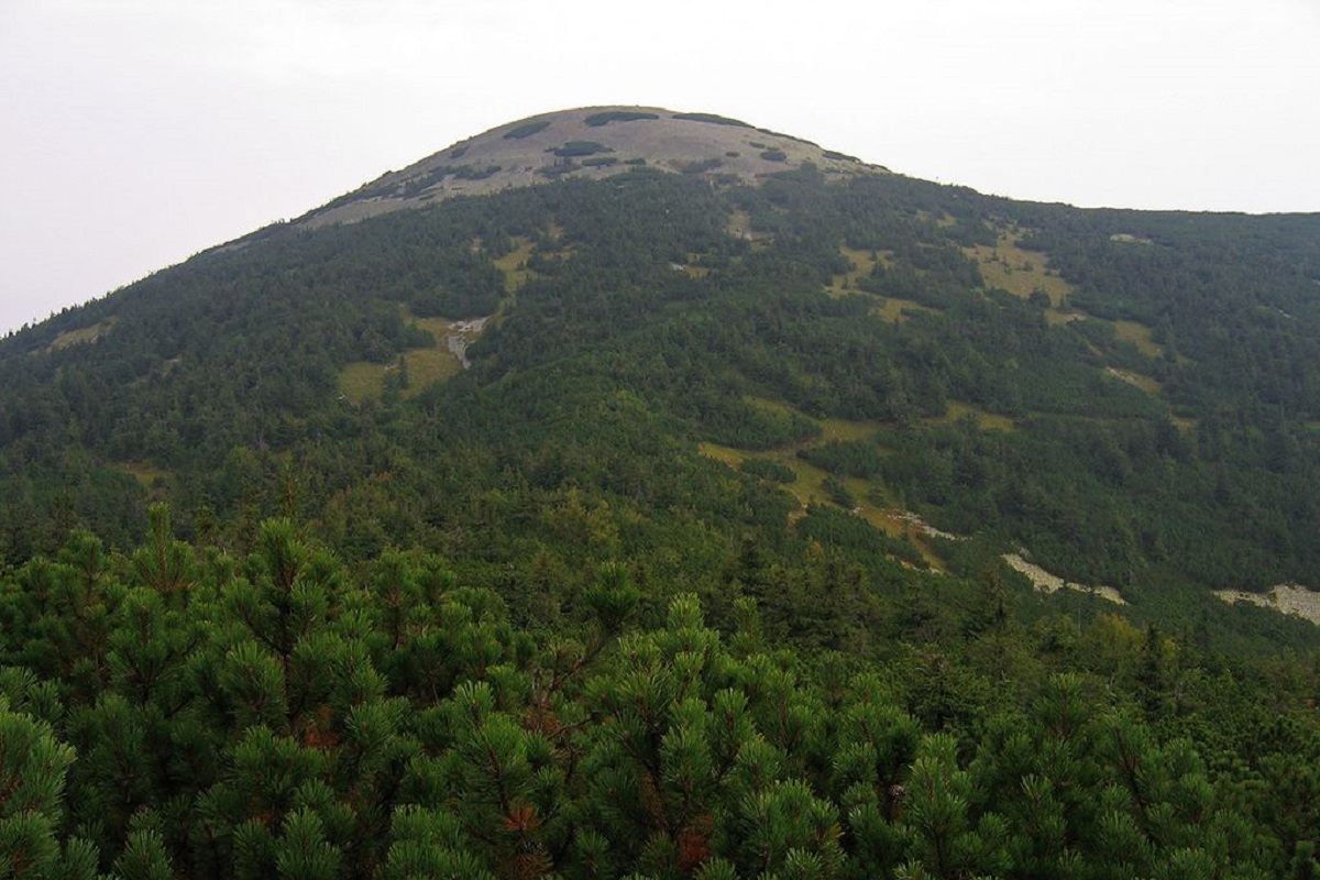
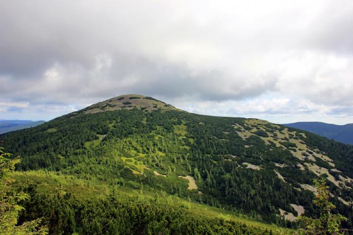
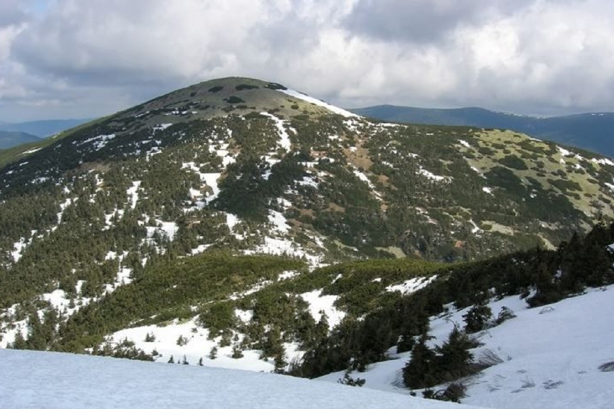
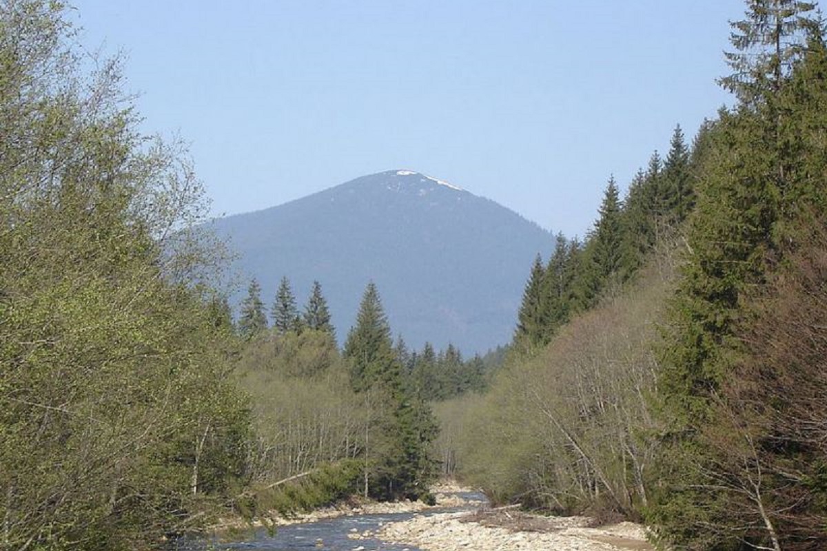
Mount Yayko-Ilemske is the peak of the Ukrainian Carpathians, located in the western part of the Gorgan mountain range. It is located on the territory of Dolyna district of Ivano-Frankivsk region, in the southeast direction from the village of Myslivka.
It is not hard to guess why the peak got such an interesting name. The mountain really resembles an egg, and it is much higher than its neighbors. By the way, Yaik-Ilemsky offers a magnificent view of the Arshytsia mountain range with its highest mountain, Horhan Ilemsky, to the north, the peaked Vysoka, the flat Igrovets and Mount Syvulia, to the south, Mount Negrovets, to the southeast, Mount Moloda, and beyond it, Mount Grofa. The northern slope of Yayko-Ilemske is sharply hidden in the watershed of two mountain streams - Mshana and Pravych.
The height of the Yaiko-Ilemske mountain is 1680 meters (according to other information - 1685 meters). The slopes of Yayko-Ilemske Mountain in the northeastern direction are very steep, difficult to access, sometimes steep, while in the northwestern and southeastern directions they are gentle.
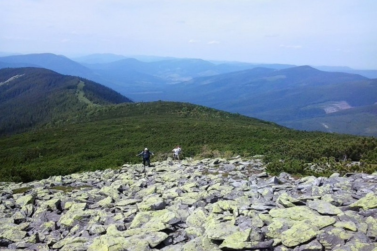
Up to an altitude of 1500-1600 meters, spruce forests and mountain-pine forests are common, above this mark - stone placers and subalpine shrubby wastelands.
Most often, the path to Yayko-Ilemske begins in the village of Myslivka (blue route). If you want to hike longer and enjoy the beauty of the Carpathian nature, you can climb to the top through Malyi and Velykyi Pustomoshaky (yellow route). You can also enter from the other side - through the village of Osmoloda, passing Mount Moloda.
The Ukrainian Carpathians are an amazing place. Although sometimes hiking in the mountains takes a lot of time and effort, as soon as you reach the top, the fatigue disappears. Instead, you feel a sense of unbridled joy. So let's go to the mountain Yayko-Ilemske in Horhany. The nearest settlement is the village of Myslivka, Dolyna district , Ivano-Frankivsk region.
Location on the map
Water and shelter nearby
- Spring below Mount Yaiko-Ilemske (3)820 m · Not verified · 1 580 m
- Spring below Mount Yaiko-Ilemske (4)1.1 km · Not verified · 1 400 m
- Spring below Mount Yaiko-Ilemske (2)1.2 km · Not verified · 1 531 m
- Spring below Mount Yaiko-Ilemske1.3 km · Not verified · 1 447 m
- Drinking water “Trubka”1.3 km · Not verified · 1 179 m
- Stream water below Mount Yaiko-Ilemske1.5 km · Not verified · 1 465 m
- Stream water below Mount Yaiko-Ilemske (2)1.7 km · Not verified · 1 440 m
- Stream water (Synevyr, 2)2.5 km · Not verified · 1 413 m
- Drinking water below Mount Horhan-Ilemskyi2.8 km · Not verified · 1 250 m
- Drinking water below Mount Horhan-Ilemskyi (2)3 km · Not verified · 1 261 m
Comments
Places to stay nearby
All stays HotelDen HouseMyslivka10 km from Mount Yayko-IlemskePoolSaunaBreakfastNearby: Mt Gorgan-Ilemsky 8.0 kmMt Yayko-Ilemske 10.0 km7 trails
 HotelHotel "Vedmid" MykulychynMyslivka11 km from Mount Yayko-IlemskeSaunaSPAFireplaceNearby: Mt Gorgan-Ilemsky 8.4 kmPolonyna Shchavna 9.4 km7 trails
 HotelChayna KhataIvano-Frankivsk15 km from Mount Yayko-IlemskeHot tubBBQKitchen
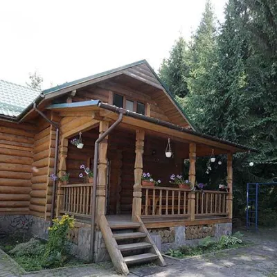 CottageCottages "Pid Lisom" VyshkivVyshkiv13 km from Mount Yayko-IlemskeHot tubPoolSaunaNearby: Big Megla 9.3 km
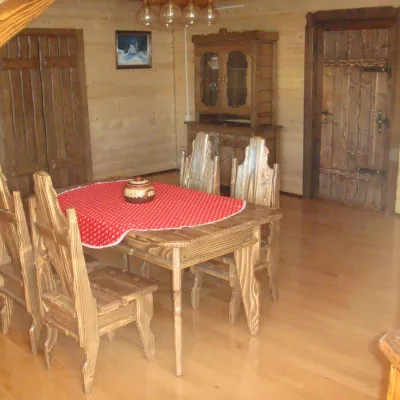 HomesteadGuest House "Zator" VyshkivVyshkiv14 km from Mount Yayko-IlemskePoolSaunaKitchenNearby: Big Megla 9.8 km
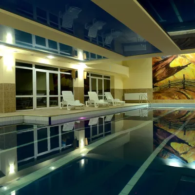 HotelHotel "Yalynka" VyshkivVyshkiv14 km from Mount Yayko-IlemskePoolSaunaSPANearby: Big Megla 9.9 km
Trails via Mount Yayko-Ilemske
All 7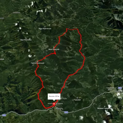 HardMulti-dayUnmarkedMyslivka village loopvia Mount Yayko-Ilemske, Mount Horhan-IlemskyiElevation profile648–1 656 m47.2 kmascent 2 092 m
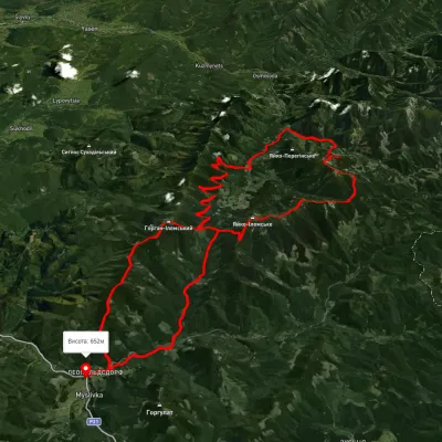 HardMulti-dayUnmarkedMyslivka village loopvia the Arshytsia ridge, Mount Moloda +1Elevation profile645–1 716 m68.8 kmascent 2 965 m
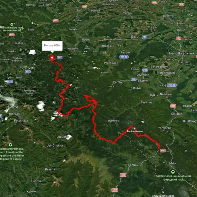 HardMulti-dayUnmarkedTatariv village to Myslivka villagevia Mount Syniak, Mount Dovbushanka +6Elevation profile671–1 792 m171.1 kmascent 9 973 m
Nearby attractions
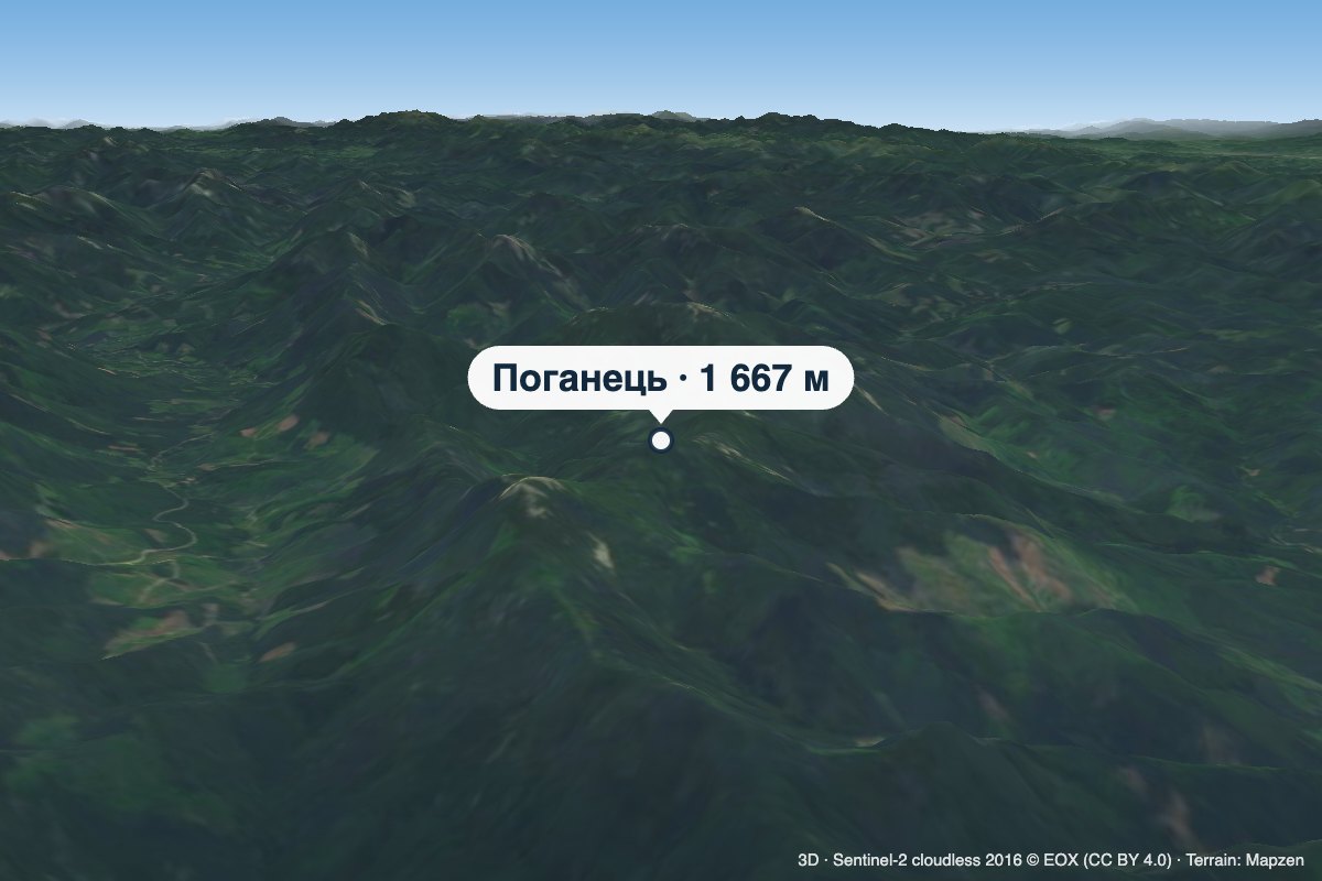 PeakMount PohanetsMyslivkaaltitude 1 667 m1.1 km from Mount Yayko-IlemskePohanets is a 1,667 m summit in the western Gorgany, in the Kalush district of Ivano-Frankivsk Oblast (formerly Dolyna district).
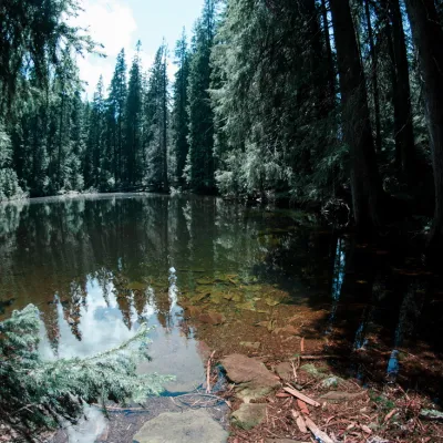 LakeLake Arshitsa, OsmolodaOsmoloda3.9 km from Mount Yayko-IlemskeLake Arshytsia is the highest lake on the ridge (1300 m) and was recently discovered in April 2009 by a tourist from the Dolyna, Viktor Verkhovynets, as evidenced by a...
 NatureYaykivsky Botanical ReserveOsmoloda5 km from Mount Yayko-IlemskeYaykivsky Reserve is a botanical reserve of national importance in Ukraine. It is located west of the village of Osmolody, Rozhniativ district, Ivano-Frankivsk region,...