Myslivka villageloop, via the Arshytsia ridge, Mount Moloda, Mount Yayko-Ilemske
Unmarked trailmore
It may be partly marked. Unmarked trails have no information boards, signposts or auxiliary signs (water, campsite, etc.). The decision to walk the trail is entirely your own responsibility.
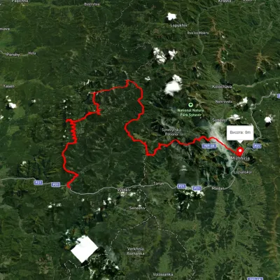
Trail map
Where to stay nearby
About the trail
Route Myslivka village, via the Arshytsia ridge, Mount Moloda and Mount Yayko-Ilemske to Myslivka village. Along the route you will see: Mount Gorgan-Ilemsky, Lake Rosokhan (Osmoloda, Gorgany), Mount Moloda, Mount Yayko-Pereginske, Mount Yayko-Ilemske.
At a glance
A multi-day loop route of 68.8 km with 2,965 m of ascent, starting and finishing at Myslivka village. Estimated time: 3 days of 7–8 h of walking (about 22 h in total, not counting stops). Difficulty: hard. Waymarking is missing or partial.
Route stages
- 0–11 kmClimb of 910 m to Mount Gorgan-Ilemsky (1,587 m)
- 11–37 kmGentle ups and downs at 790–1,560 m
- 37–44 kmClimb of 880 m to Mount Moloda (1,723 m)
- 44–69 kmDescent of 1,060 m (down to 655 m)
Steepest kilometre: km 39–40, a climb of 300 m (≈28%).
Water and overnight stays
Springs near the trail: at km 3, 8, 11, 16, 18, 19, 24, 27, 30 and 32 etc.. There are no springs between km 56 and 69 — carry at least 2 l of water. Some springs run low or dry up in late summer.
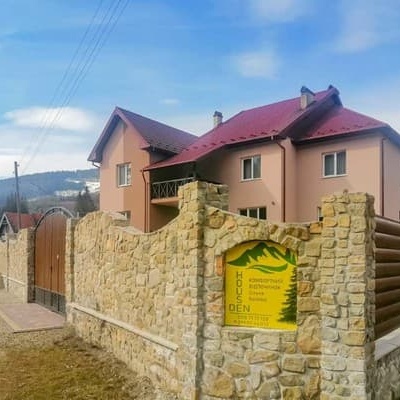
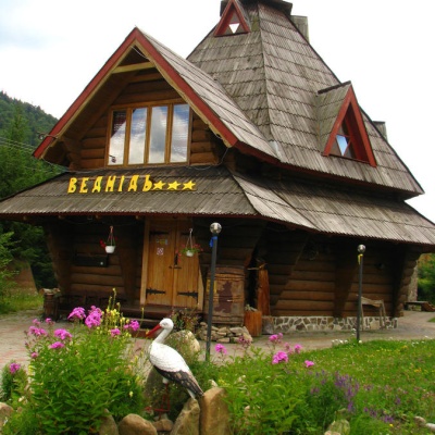
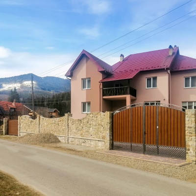
Huts and shelters near the trail: Forester's hut by the Mshana river on the way to Lake Rosokhan (km 29), Hut (Kuzmynets) (km 37). Places to stay near the start: Myslivka.
A possible split into days:
- Day 1: km 0–20, ≈7.5 h — overnight: no shelter nearby on the map, bring a tent
- Day 2: km 20–43, ≈7.5 h — overnight: no shelter nearby on the map, bring a tent
- Day 3: km 43–69, ≈7.5 h — finish
When to go
Best time: June to September. In winter only for experienced hikers with proper gear: avalanche danger is possible. About 11 km of the route runs above 1,500 m, where the weather changes quickly — check the forecast.
Getting there
Start: Myslivka village. Most places to stay near the start are in Myslivka. This is a loop: it brings you back to the start.
FAQ
- How long does the route take?
- Estimated time: 3 days of 7–8 h of walking (about 22 h in total, not counting stops).
- Is there water on the route?
- Springs near the trail: at km 3, 8, 11, 16, 18, 19, 24, 27, 30 and 32 etc.. There are no springs between km 56 and 69 — carry at least 2 l of water. Some springs run low or dry up in late summer.
- Where can I stay overnight?
- Huts and shelters near the trail: Forester's hut by the Mshana river on the way to Lake Rosokhan (km 29), Hut (Kuzmynets) (km 37). Places to stay near the start: Myslivka.
Water and shelter on the route
- Stream water (Myslivka)km 2.4 from the start · Not verified · 844 m
- Spring (Myslivka, 5)km 7.8 from the start · 90 m off the path · Not verified · 1 144 m
- Spring below Mount Horhan-Ilemskyi (5)km 8.4 from the start · 210 m off the path · Not verified · 1 200 m
- Spring below Mount Horhan-Ilemskyi (3)km 9.9 from the start · 280 m off the path · Not verified · 1 382 m
- Drinking water below Mount Horhan-Ilemskyikm 15.1 from the start · 60 m off the path · Not verified · 1 250 m
- Drinking water below Mount Horhan-Ilemskyi (2)km 16.8 from the start · Not verified · 1 261 m
- Drinking water below Mount Horhan-Ilemskyi (3)km 18.3 from the start · 90 m off the path · Not verified · 1 270 m
- Spring (Kuzmynets, 2)km 22.4 from the start · 50 m off the path · Not verified · 1 261 m
- Spring (Kuzmynets)km 23 from the start · Not verified · 1 217 m
- Spring (Kuzmynets, 4)km 25.8 from the start · Not verified · 1 130 m
- Spring (Kuzmynets, 3)km 26.7 from the start · Not verified · 1 005 m
- Forester's hut by the Mshana river on the way to Lake Rosokhankm 27.4 from the start · 110 m off the path · Standing · 918 m
- Spring below Mount Yaiko-Perehinske (2)km 28 from the start · Not verified · 908 m
- Stream water below Mount Yaiko-Perehinskekm 30.1 from the start · Not verified · 851 m
- Hut (Kuzmynets)km 34.6 from the start · Not verified · 840 m
- Drinking water below Mount Yaiko-Perehinske (3)km 37.2 from the start · 110 m off the path · Not verified · 1 140 m
- Spring below Mount Moloda (6)km 38.8 from the start · 80 m off the path · Not verified · 1 475 m
- Drinking water below Mount Moloda (3)km 42.9 from the start · 220 m off the path · Not verified · 1 398 m
- Spring below Mount Moloda (3)km 45 from the start · 210 m off the path · Not verified · 1 440 m
- Spring below Mount Yaiko-Ilemske (2)km 48.7 from the start · 210 m off the path · Not verified · 1 531 m
- Spring below Mount Yaiko-Ilemske (3)km 49.1 from the start · 80 m off the path · Not verified · 1 580 m
- Spring below Mount Yaiko-Ilemskekm 51.5 from the start · Not verified · 1 447 m
- Drinking water “Trubka”km 52.6 from the start · 70 m off the path · Not verified · 1 179 m
Comments
What to see on the trail
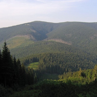 Mount Gorgan-Ilemskyaltitude 1 587 mMount Gorgan-Ilemsky is the peak of the Ukrainian Carpathians, located on the Arshytsia ridge of the Gorgan mountain range.
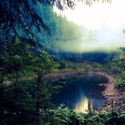 Lake Rosokhan (Osmoloda, Gorgany)altitude 1 120 mThe little-known mountain lake Rosokhan (Osmoloda, Ivano-Frankivsk region) is a hydrological natural monument of local significance with an area of...
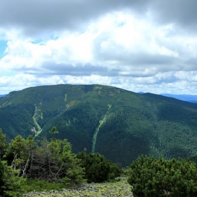 Mount Molodaaltitude 1 723 mMount Moloda is the peak of the Ukrainian Carpathians, which lies within the Horhan mountain range in the Ivano-Frankivsk region (the main area of...
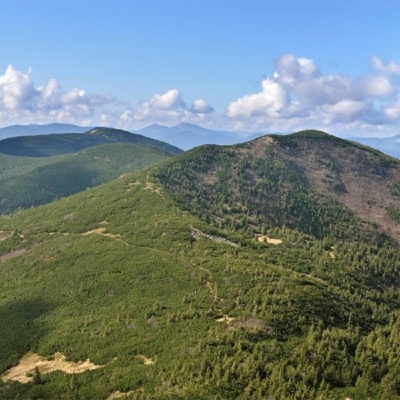 Mount Yayko-Pereginskealtitude 1 595 mYayko-Perehinske (the mountain got its name because of its characteristic shape, which resembles an egg from a distance) is a mountain peak in the...
 Mount Yayko-Ilemskealtitude 1 680 mMount Yayko-Ilemske is the peak of the Ukrainian Carpathians, located in the western part of the Gorgan mountain range.
Trails nearby
All trails HardMulti-dayMarkedEast Carpathian Tourist TrailElevation profile635–1 819 m278.1 kmascent 14 105 m
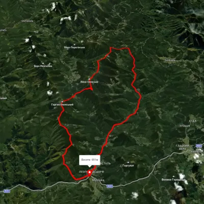 HardMulti-dayUnmarkedMyslivka village loopvia Mount Yayko-Ilemske, Mount Horhan-IlemskyiElevation profile648–1 656 m47.2 kmascent 2 092 m
 HardMulti-dayUnmarkedMyslivka village to Mizhhiriavia Mount Moloda, Mount Popadia +3Elevation profile444–1 717 m117 kmascent 6 438 m