Mount Ukernia
Ukernia is a 1,620 m summit in the western Gorgany, in Ivano-Frankivsk Oblast, on the ridge between the Svicha and Moloda valleys. It lies about a kilometre south of Pohanets (1,667 m) and 2 km from Yaiko-Ilemske (1,680 m); to the south the crest continues to Syvania Lolynska (1,643 m, about 1.9 km) and the Solotvynka saddle (1,355 m), while Moloda (1,723 m) rises about 3.9 km to the south-east. Hikers reach this ridge from Myslivka, about 14 km away.
In 2004 the Ukerna protected forest, covering 580.6 ha, was established around the mountain. It protects high-mountain spruce forest mixed with dwarf pine and scattered Swiss stone pines growing near the tree line, between 1,100 and 1,680 m. Bilberry, lingonberry, crowberry, mountain arnica and stag’s-horn clubmoss grow in the undergrowth.
How to get there
Six of our routes cross Ukernia or pass within 100 m of it. The shortest is Myslivka – Yaiko-Perehinske – Solotvynka (22.3 km). For a ridge loop take Myslivka – Mount Yaiko-Ilemske – Mount Horhan-Ilemskyi – Myslivka (47.2 km) or Myslivka – Arshytsia ridge – Mount Moloda – Mount Yaiko-Ilemske – Myslivka (68.8 km). To cross to Osmoloda there is Myslivka – Mount Yaiko-Ilemske – Mount Moloda – Mount Hrofa – Mount Popadia – Osmoloda (61.3 km) and the reverse Osmoloda – Mount Popadia – Mount Koretvyna – Mount Hrofa – Mount Moloda – Mount Yaiko-Ilemske – Myslivka (74.8 km).
Water, shelter and safety
On our map the nearest water is from streams about 430 m north-east and 540 m north of the summit (around 1,440–1,465 m), with another one 810 m to the south-east. Springs below Yaiko-Ilemske are marked 0.8–1.7 km to the north; the condition of all of them is unknown. The shelter below Yaiko-Ilemske (about 1.8 km north-east) is ruined, so bring a tent. The crest is rocky and exposed, it is easy to lose the path in fog, and inside the protected forest the reserve rules apply. The nearest summit with our forecast is weather on Hrofa (about 10 km away). In an emergency call 112 or 101 — contacts of the nearest units are on our mountain rescue page.
Interesting facts
- The Ukerna forest is a refuge for red deer, lynx, brown bear and capercaillie.
- The reserve’s boundary signs were put up in 2013 by volunteers of the Karpatski Stezhky hiking society together with foresters.
- A marked (black) trail crosses Ukernia on its way from the Solotvynka pasture to Yaiko-Ilemske.
Comments
Places to stay nearby
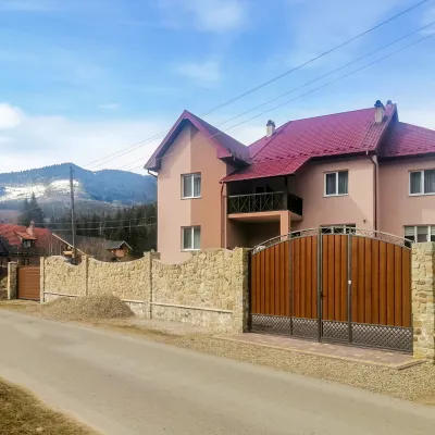 HotelDen House12 km from Mount UkerniaPoolSaunaBreakfastNearby: Mt Gorgan-Ilemsky 8.0 kmMt Yayko-Ilemske 10.0 km7 trails
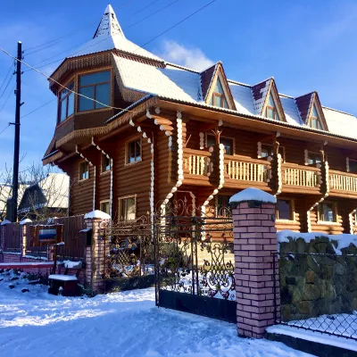 HotelChayna Khata15 km from Mount UkerniaHot tubBBQKitchen
 Homestead"U Davidka i Matviika"19 km from Mount UkerniaFireplaceKitchenParkingNearby: Mt Petros Gorgansky 4.6 kmMt Studenets 3.8 km2 trails
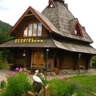 HotelHotel "Vedmid" Mykulychyn13 km from Mount UkerniaSaunaSPAFireplaceNearby: Mt Gorgan-Ilemsky 8.4 kmPolonyna Shchavna 9.4 km7 trails
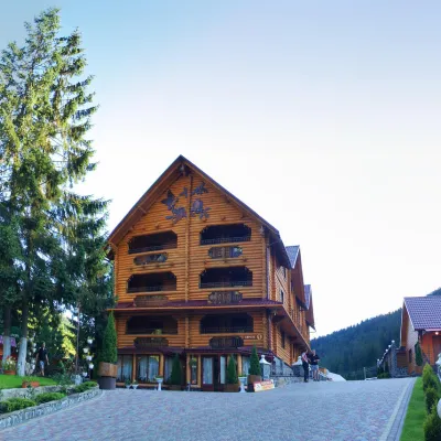 HotelHotel and Restaurant Complex "Arnika" Synevyrska Polyana13 km from Mount UkerniaHot tubPoolSaunaNearby: Ozerna Mountain 2.9 kmPolonyna Hycha 8.5 km6 trails
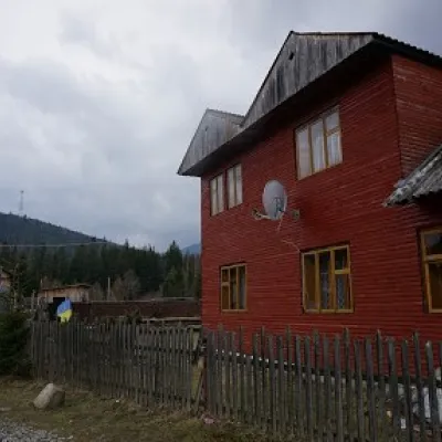 HomesteadHomestead "Arnika" Osmoloda14 km from Mount UkerniaSaunaBBQKitchenNearby: Trout farm in Osmoloda 1.3 kmMt Kin Grofetsky 5.2 km15 trails
Trails nearby
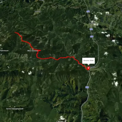 HardTwo-dayMarkedMyslivka Solotvynkavia Yayko PerehinskeElevation profile651–1 658 m22.3 kmascent 972 m≈ 7.5 h walkingunder 1 km from Mount Ukernia
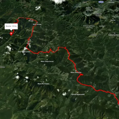 HardMulti-dayUnmarkedMyslivka village to Osmoloda villagevia Mount Yayko-Ilemske, Mount Moloda +2Elevation profile629–1 740 m61.3 kmascent 3 821 munder 1 km from Mount Ukernia
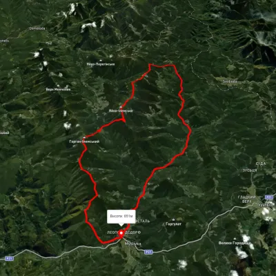 HardMulti-dayUnmarkedMyslivka village loopvia Mount Yayko-Ilemske, Mount Horhan-IlemskyiElevation profile648–1 656 m47.2 kmascent 2 092 munder 1 km from Mount Ukernia
Nearby attractions
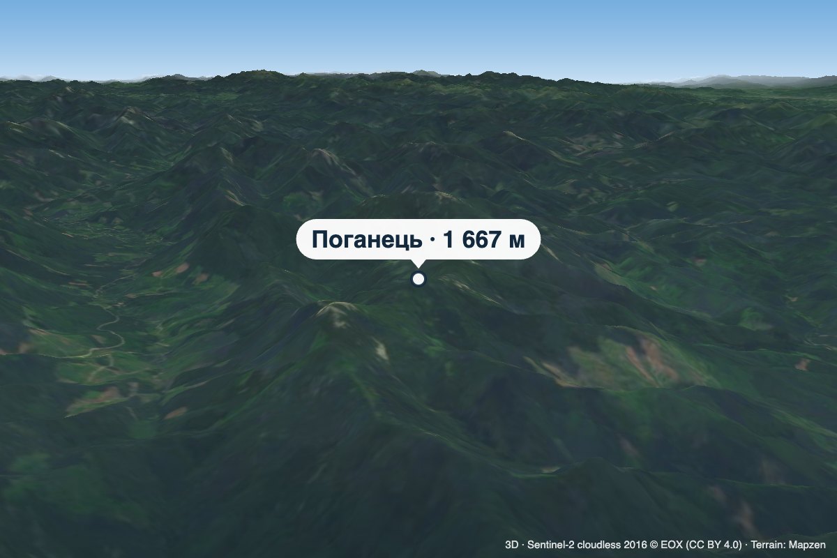 PeakMount Pohanetsaltitude 1 667 m1 km from Mount UkerniaPohanets is a 1,667 m summit in the western Gorgany, in the Kalush district of Ivano-Frankivsk Oblast (formerly Dolyna district).
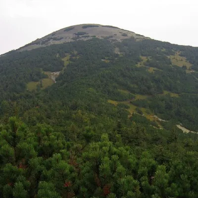 PeakMount Yayko-Ilemskealtitude 1 680 m · Gorgany range2.1 km from Mount Ukernia7 trails to the topMount Yayko-Ilemske is the peak of the Ukrainian Carpathians, located in the western part of the Gorgan mountain range.
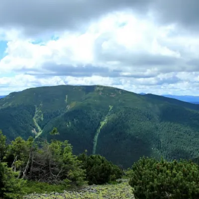 PeakMount Molodaaltitude 1 723 m · Gorgany range3.9 km from Mount Ukernia8 trails to the topMount Moloda is the peak of the Ukrainian Carpathians, which lies within the Horhan mountain range in the Ivano-Frankivsk region (the main area of the mountain is...