Teresva River
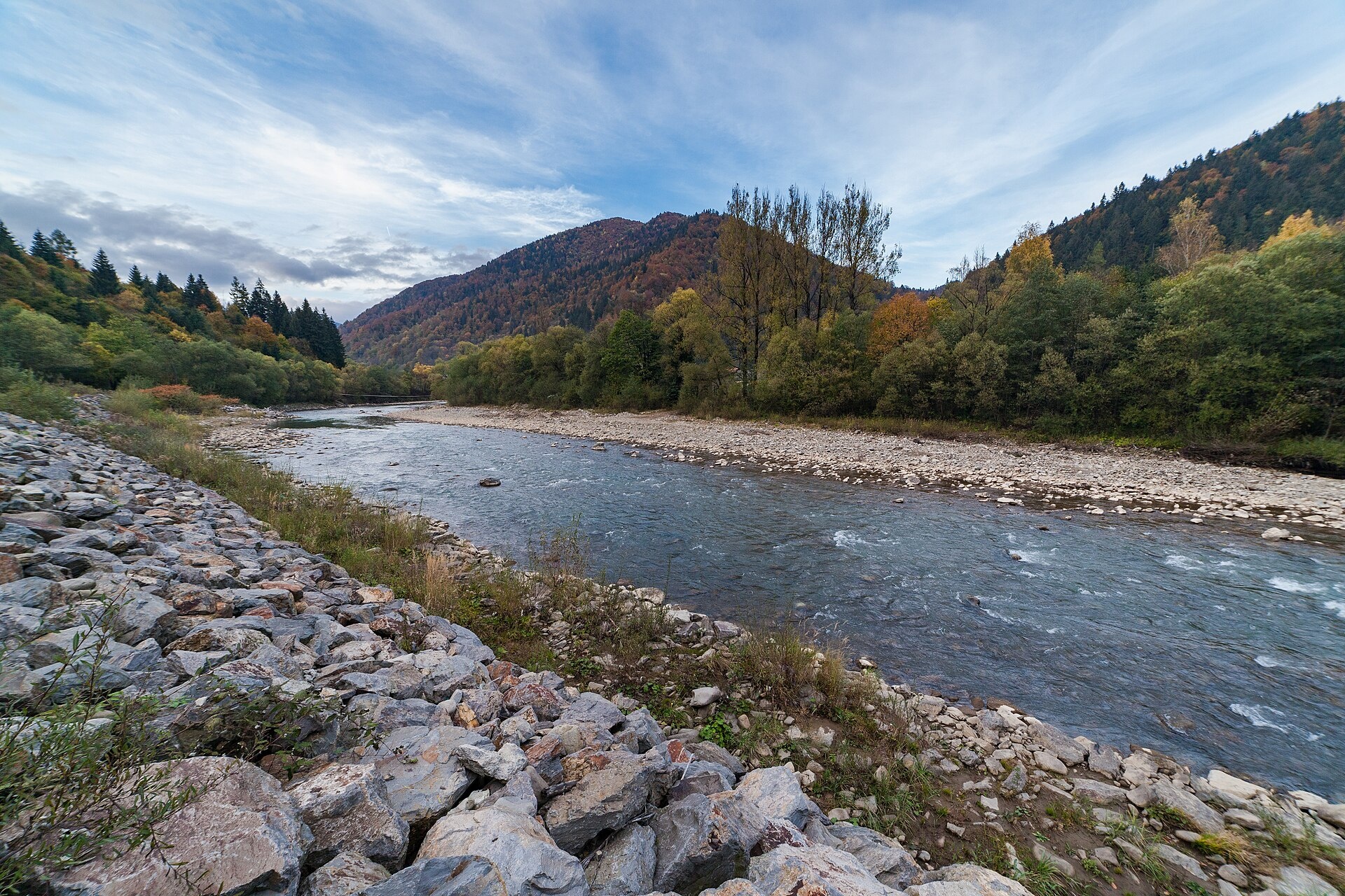
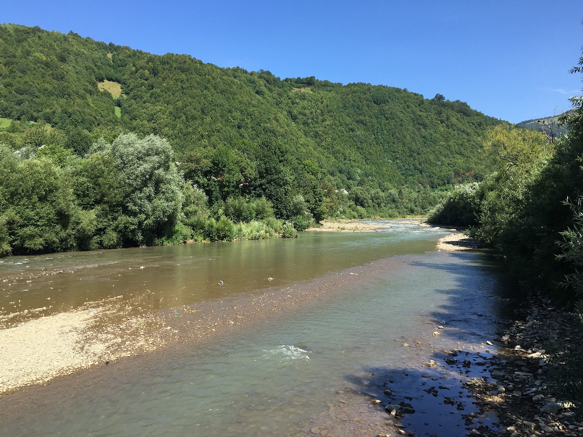
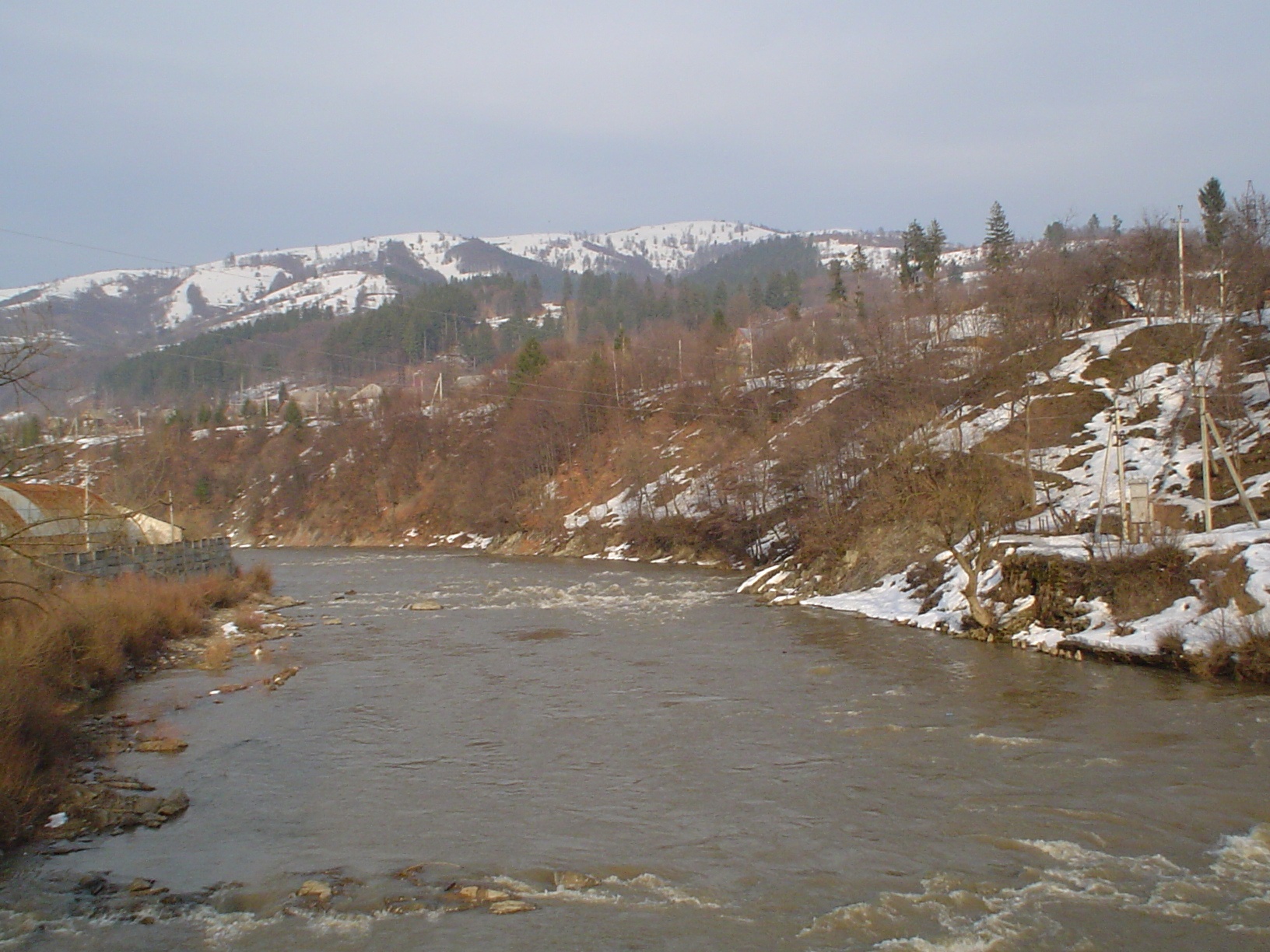
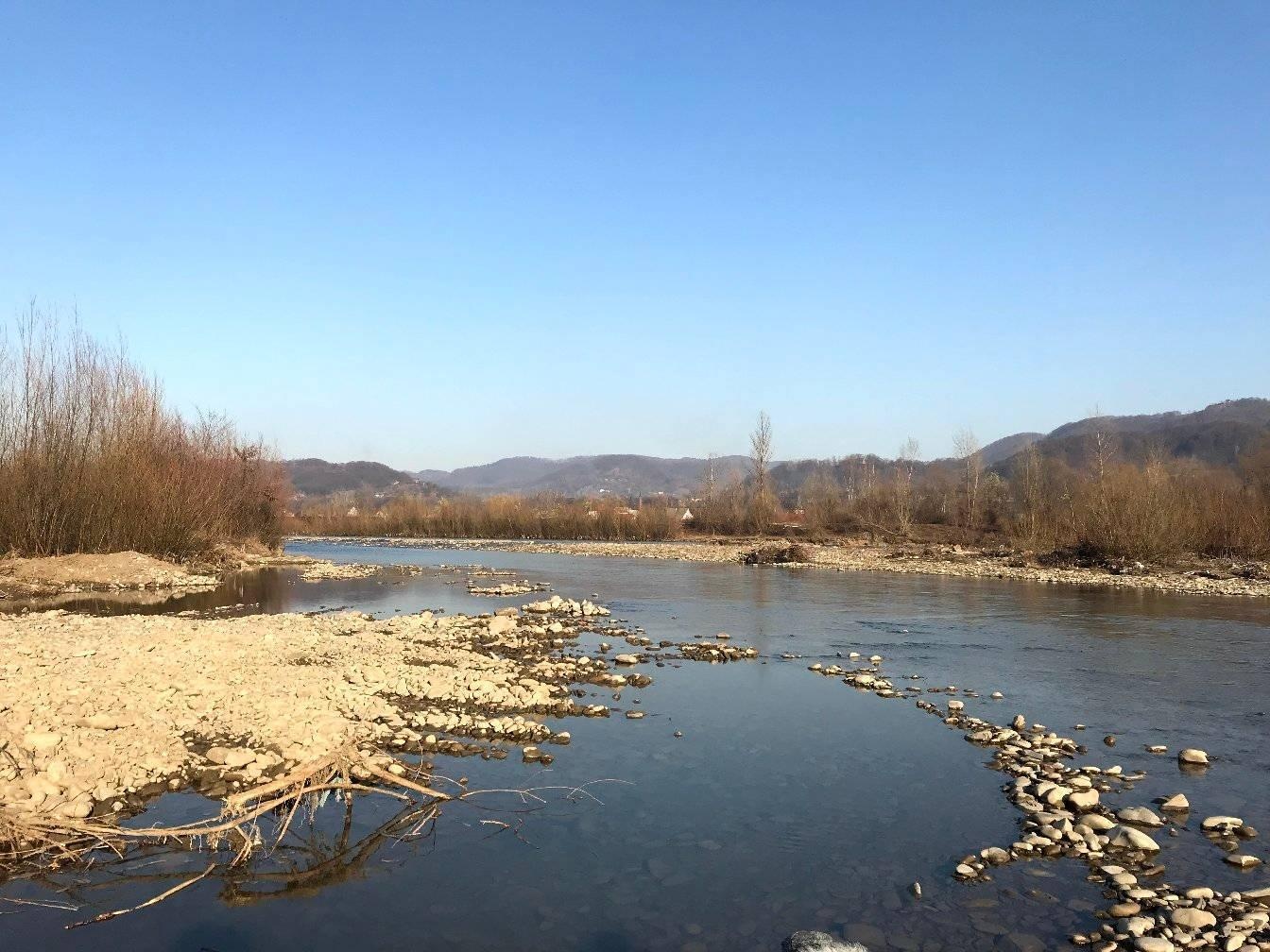
The Teresva forms in Ust-Chorna, where the Mokrianka and Brusturianka meet, and flows south through Dubove, Kalyny, Hanychi and Neresnytsia to the town of Teresva, where it joins the Tysa. Measured from its longest headstream, the Turbatskyi brook, the river is over 90 km long. It is a fast mountain river with clean water; there are waterfalls in the upper course, and Mount Apetska gives a view over the valley.
- Length: 56 km (90.8 km with the Brusturianka)
- Basin area: 1,225 km²
- Source: confluence of the Mokrianka and Brusturianka in Ust-Chorna
- Mouth: the Tysa near the town of Teresva
On the Teresva’s tributaries — the Mala and Velyka Uholka and the Luzhanka — lies the Uholka–Shyrokyi Luh massif of the Carpathian Biosphere Reserve with its primeval beech forests. A narrow-gauge railway once ran along the valley from Teresva to Ust-Chorna; almost nothing of it remains today.
Ichthyologists have recorded 42 fish species and one lamprey in the Teresva. Brown trout are among the most numerous fish in the upper course and tributaries; lower down anglers catch chub, and in the lower course pike and perch. Danube salmon, grayling, barbel and nase are in the Red Book. The spawning ban runs from 25 March to 15 May, but on two stretches near Neresnytsia and Dubove the patrol allowed bank fishing. Details are in the fishing section. All the region’s waters are on the Fishing in the Carpathians page.
Photos: Dimatrofimchuk, CC BY-SA 4.0; Dutiasvity, CC BY-SA 4.0; Iowamutt, CC BY-SA 3.0; Vilkhivtsi Synagogue (Wikimedia user), CC BY-SA 4.0 — Wikimedia Commons.
Location on the map
Fishing on the Teresva
The Teresva is one of the richest fish rivers in Zakarpattia, with 42 species. Trout rule the upper course and tributaries, chub the middle, and pike and perch occur near the mouth.
Can I fish now?
- Brown trout — closed until 1 MarchTrout spawning: closed from 10 October to 1 March in the Zakarpattia, Ivano-Frankivsk, Lviv and Chernivtsi regions.Each illegally caught fish costs UAH 7,225 in damages on top of the fine.
- Other species — allowed within the daily limitKeep to the minimum sizes and the daily limit; release protected species.
Limits and rules
During the 2026 spawning ban the patrol allowed bank fishing from the road bridge in Neresnytsia upstream to the Hanychi sign, and from the exit of Kalyny upstream to the footbridge in Dubove. The mouth near the town of Teresva is on the border river Tysa, so the border strip may apply there.
Ust-Chorna ichthyological reserve
Near Ust-Chorna the local Ust-Chorna ichthyological reserve, created in 1990 to protect salmonid spawning grounds, is the only one of its kind in the Teresva basin. Its regulations are not published, so check the fishing regime with the Zakarpattia fisheries patrol. On the Mala and Velyka Uholka and the Luzhanka tributaries lies the Uholka–Shyrokyi Luh massif of the Carpathian Biosphere Reserve — there, fishing is only possible at the reserve’s trout farm.
What to catch
 Brown troutupper course and tributaries · closed from 10 October to 1 Marchclosed until 1 March
 Chublower and middle courseallowed
 Pikelower course · closed from 15 February to 31 Marchallowed
 Perchlower courseallowed
The lower course is the richest in species (31), dominated by nase. The middle course has plenty of Carpathian barbel and Carpathian lamprey, as well as souffia, zingel and streber, and the tributaries hold bullheads. Introduced rainbow trout also occur. Owners of small hydro plants on the tributaries release trout every year as compensation.
 Danube salmon (huchen)
 Grayling
 Barbel
 Nase
Nase Common dace
 Burbot
Red Book of Ukraine species: if one bites, unhook it carefully and release it. Taking one means a fine and compensation for damages.
Stocking 2025
2,472 young fish released into the river under the state stocking programme
- Danube salmon (huchen) Red Book2,472
Bite forecast near Ust-Chorna
- TodaygoodHigh pressure, light wind, partly cloudy1025 hPa · wind up to 13 km/h · 2…7 °C
- TomorrowfairSteady pressure, moderate wind, cold1024 hPa · wind up to 18 km/h · 2…6 °C
- Saturday, 17 OctobergoodSteady pressure, light wind1018 hPa · wind up to 9 km/h · 3…9 °C
For species open now: chub, pike, perch. Brown trout closed. Based on pressure, wind, temperature and cloud — an estimate, not a guarantee.
Fishing spots 51
Places where you can drive up to the water: fish markers on the page map and the list below. Look at the satellite view before you go — the bank may be steep or overgrown.
Closed right now: brown trout — until 1 March.
- Mouth of the Brusturianka tributary, Ust-ChornaAbout 30 m to the water from the road. Bridge 70 m away. Nearest village: Ust-Chorna, 900 m.
- Dirt-road access, Ust-ChornaAbout 70 m to the water from a dirt road. Village: Ust-Chorna.
- By the road, Ust-Chorna (1.5 km)About 140 m to the water from the road. Nearest village: Ust-Chorna, 1.5 km.
- By the road, Ust-Chorna (2.4 km)About 90 m to the water from the road. Nearest village: Ust-Chorna, 2.4 km.
- Dirt-road access, Ust-Chorna (3.3 km)About 40 m to the water from a dirt road. Nearest village (straight line): Ust-Chorna, 3.3 km.
- By the road, Ust-Chorna (4.1 km)About 50 m to the water from the road. Nearest village (straight line): Ust-Chorna, 4.1 km.
- Access road to the water, Ust-Chorna (5.0 km)About 120 m to the water from an access road. Nearest village (straight line): Ust-Chorna, 5.0 km.
- By the road on the TeresvaThe road comes almost to the water. Nearest village (straight line): Ust-Chorna, 5.1 km.
Show all spots (51)
- Tributary mouth on the TeresvaAbout 60 m to the water from a dirt road. Nearest village (straight line): Krasna, 5.2 km.
- By the road, Krasna (4.3 km)About 60 m to the water from the road. Nearest village (straight line): Krasna, 4.3 km.
- By the road, Krasna (3.4 km)About 50 m to the water from the road. Nearest village (straight line): Krasna, 3.4 km.
- By the road, Krasna (2.5 km)About 60 m to the water from the road. Nearest village: Krasna, 2.5 km.
- By the road, Krasna (1.5 km)About 110 m to the water from the road. Nearest village: Krasna, 1.5 km.
- By the road, KrasnaAbout 40 m to the water from the road. Nearest village: Krasna, 1.1 km.
- Access road to the water, KrasnaAbout 100 m to the water from an access road. Village: Krasna.
- Dirt-road access, KrasnaAbout 90 m to the water from a dirt road. Nearest village: Krasna, 740 m.
- By the road, Krasna (1.5 km)About 130 m to the water from the road. Nearest village: Krasna, 1.5 km.
- By the road, Krasna (2.5 km)About 30 m to the water from the road. Nearest village: Krasna, 2.5 km.
- By the road, Vyshnii Dubovets (3.0 km)About 80 m to the water from the road. Nearest village: Vyshnii Dubovets, 3.0 km.
- By the road, Vyshnii Dubovets (2.6 km)About 70 m to the water from the road. Nearest village: Vyshnii Dubovets, 2.6 km.
- By the road, Dubove (1.8 km)About 120 m to the water from the road. Nearest village: Dubove, 1.8 km.
- Access from a village street, DuboveAbout 90 m to the water from the street. Nearest village: Dubove, 890 m.
- Local-road access, DuboveAbout 40 m to the water from a local road. Village: Dubove.
- Local-road access, DuboveAbout 50 m to the water from a local road. Nearest village: Dubove, 860 m.
- Local-road access, Nyzhnii DubovetsThe road comes almost to the water. Nearest village: Nyzhnii Dubovets, 1.3 km.
- By the road, Nyzhnii DubovetsAbout 90 m to the water from the road. Village: Nyzhnii Dubovets.
- Dirt-road access, KalynyAbout 90 m to the water from a dirt road. Nearest village: Kalyny, 1.4 km.
- Local-road access, KalynyAbout 130 m to the water from a local road. Village: Kalyny.
- Access from a village street, Kalyny (1.5 km)About 130 m to the water from the street. Nearest village: Kalyny, 1.5 km.
- Dirt-road access, HanychiAbout 40 m to the water from a dirt road. Nearest village: Hanychi, 1.4 km.
- Dirt-road access, HanychiAbout 140 m to the water from a dirt road. Village: Hanychi.
- By a side channel, HanychiAbout 120 m to the water from a local road. Nearest village: Hanychi, 790 m.
- Access from a village street, PidpleshaAbout 120 m to the water from the street. Nearest village: Pidplesha, 720 m.
- Access from a village street, PidpleshaAbout 120 m to the water from the street. Village: Pidplesha.
- Dirt-road access, NeresnytsiaAbout 60 m to the water from a dirt road. Nearest village: Neresnytsia, 1.3 km.
- By the road, VyshovatyiAbout 110 m to the water from the road. Nearest village: Vyshovatyi, 820 m.
- By the bridge, VyshovatyiAbout 40 m to the water from the road. Bridge 60 m away. Nearest village: Vyshovatyi, 710 m.
- Access from a village street, VilkhivtsiAbout 100 m to the water from the street. Nearest village: Vilkhivtsi, 910 m.
- Dirt-road access, VilkhivtsiThe road comes almost to the water. Village: Vilkhivtsi.
- Access from a village street, VilkhivtsiAbout 90 m to the water from the street. Village: Vilkhivtsi.
- Dirt-road access, VilkhivtsiAbout 120 m to the water from a dirt road. Nearest village: Vilkhivtsi, 1.1 km.
- Dirt-road access, Ternovo (2.0 km)About 40 m to the water from a dirt road. Nearest village: Ternovo, 2.0 km.
- Dirt-road access, TernovoAbout 50 m to the water from a dirt road. Nearest village: Ternovo, 1.2 km.
- Access from a village street, TernovoAbout 120 m to the water from the street. Nearest village: Ternovo, 840 m.
- Dirt-road access, Dobrianske (2.0 km)About 110 m to the water from a dirt road. Nearest village: Dobrianske, 2.0 km.
- By the road, Bilovartsi (1.9 km)About 130 m to the water from the road. Nearest village: Bilovartsi, 1.9 km.
- Dirt-road access, BilovartsiAbout 50 m to the water from a dirt road. Nearest village: Bilovartsi, 1.2 km.
- Stream mouth, Teresva (1.9 km)About 90 m to the water from a dirt road. Nearest village: Teresva, 1.9 km.
- Dirt-road access, BedevliaAbout 80 m to the water from a dirt road. Nearest village: Bedevlia, 1.4 km.
- Dirt-road access, BedevliaAbout 140 m to the water from a dirt road. Nearest village: Bedevlia, 1.0 km.
- Access from a village street, BedevliaAbout 140 m to the water from the street. Nearest village: Bedevlia, 1.4 km.
Spots are marked from open data (roads and ways to the water, OpenStreetMap); if a spot is inconvenient or inaccessible, let us know. © OpenStreetMap, ODbL.
Springs: Recreational Fishing Rules (Order No. 700 of the Ministry of Agrarian Policy); Zakarpattia fisheries patrol: 2026 spawning ban and permitted stretches; Zakarpattia fisheries patrol: trout ban from 10 October 2026; Zakarpattia fisheries patrol: autumn trout spawning; Velykopolskyi I., Potish L. Fish of the Ust-Chorna ichthyological reserve (2009); Wikipedia (uk): Uholka–Shyrokyi Luh reserve massif; Carpathian Biosphere Reserve: paid services order (2025); Regulation on the border regime (Cabinet of Ministers Resolution No. 1147); State Fisheries Agency: fish stocking, data.gov.ua (CC BY); Kurtyak F. Current state of the fish fauna of the Teresva basin; Kurtyak F., Bondar P. Rare fish of Zakarpattia and principles of their protection (2014); Kharchenko V. et al. Records of protected animal species in Ukraine (GBIF, CC BY 4.0); Kutsokon Y., Roman A. Own findings of fish of Ukraine 2001–2021 (GBIF, CC BY 4.0); Didenko O. et al. Fish occurrences in the Dnipro, Dnister and Tysa basins, 2024–2026 (GBIF, CC BY 4.0); Red Book of Ukraine animal list (Ministry of Environment Order No. 29, 2021); Wikipedia (uk): Teresva; Weather forecast: MET Norway (CC BY 4.0). Rules may change — check the current orders of the fisheries patrol.
Comments
Trails nearby
All trails HardMulti-dayUnmarkedUst-Chorna village to Kolochava villagevia Mount Klymova, Mount Syhlianskyi +1Elevation profile522–1 558 m42.1 kmascent 1 698 m≈ 14 h walkingunder 1 km from Teresva River
 HardMulti-dayMarkedTranscarpathian Tourist TrailElevation profile198–2 031 m393.2 kmascent 30 283 munder 1 km from Teresva River
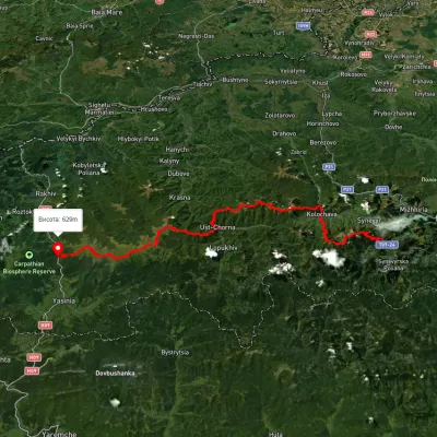 HardMulti-dayUnmarkedSynevyr village to Kvasy villagevia Mount Nehrovets, Mereshor village +3Elevation profile516–1 843 m100.3 kmascent 5 367 munder 1 km from Teresva River
Nearby attractions
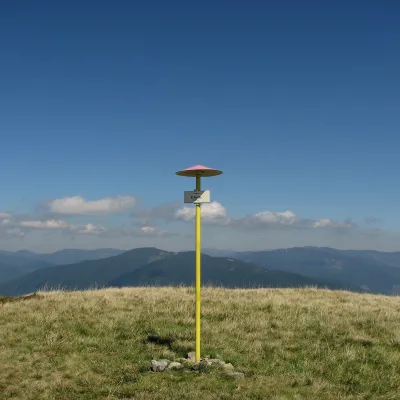 PeakMount KlymovaKolochavaaltitude 1 492 m5.7 km from Teresva RiverKlymova is a 1,492 m summit of the Polonyna Krasna range. It lies in the Tiachiv district of Zakarpattia Oblast, about 6 km west of the village of Ust-Chorna, which it...
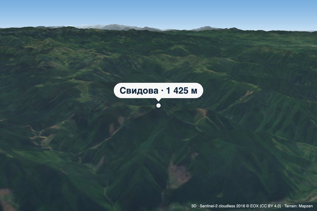 PeakMount SvydovaLopukhivaltitude 1 425 m · Svydovets range7.3 km from Teresva RiverSvydova is a 1,425 m mountain (some sources give 1,430 m) in the Svydovets massif. It stands on the Shasa ridge — the largest north-western spur of the main Svydovets...
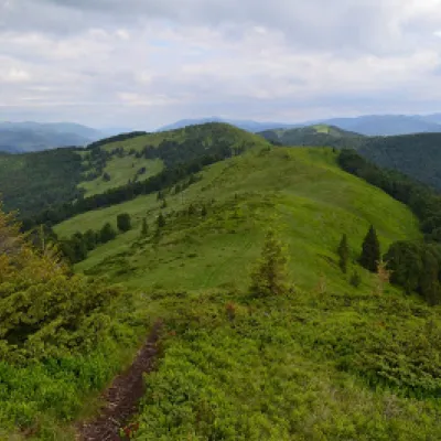 PeakMount ShpanskaUst-Chornaaltitude 1 458 m8.4 km from Teresva River10 trails to the topThe top of Mount Shpanska (1458 meters above sea level) is located northwest of Mount Tempa within the Tyachiv district of Zakarpattia region.