Mount Klymova
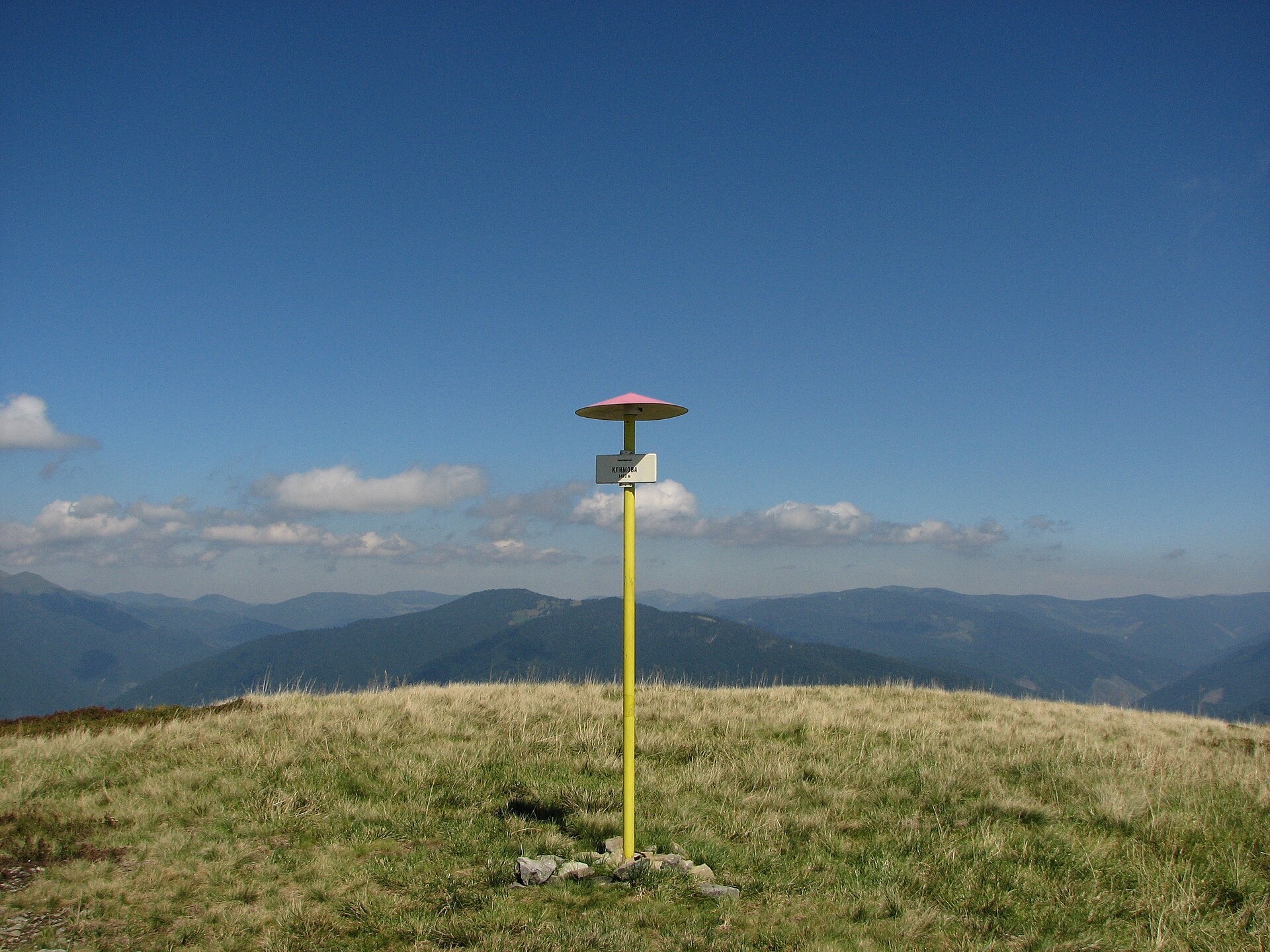
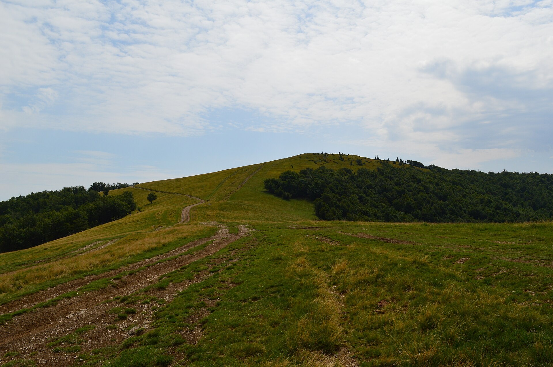
Klymova is a 1,492 m summit of the Polonyna Krasna range. It lies in the Tiachiv district of Zakarpattia Oblast, about 6 km west of the village of Ust-Chorna, which it towers over by almost a kilometre (966 m). The northern slopes drop to the village of Ruska Mokra, and to the west the range is bounded by the Tereblia valley with Kolochava.
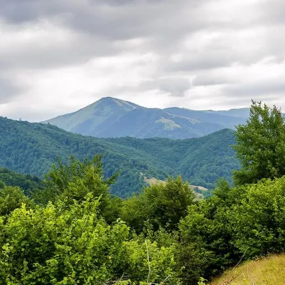
The summit is a broad mountain pasture that turns into beech forest below 1,200 m. The southern slope is steep. Klymova lies on the main ridge of Krasna, which runs from north-west to south-east; east of it the ridge turns towards Mala Klymova (1,361 m).
How to get there
Several routes on our site follow the Krasna ridge over Klymova. The most compact is Kolochava – Mount Syhlianskyi – Mount Klymova – Mount Ruzha – Ust-Chorna (29.4 km). In the opposite direction, and including Topas, there is Ust-Chorna – Mount Klymova – Mount Syhlanskyi – Mount Topas – Kolochava (42.1 km). For a multi-day trip try Kolochava – Krasna ridge – Ust-Chorna – Svydovets ridge – Yasinia (81.4 km); the Transcarpathian Trail also crosses the summit. A yellow access trail leads up to the ridge from Ruska Mokra.
Water, shelter and safety
According to our map, the nearest hut is in the Chertortsia area, about 1 km from the summit; there are no mapped springs close to the top, so carry water. The Krasna ridge is exposed: no shade in hot weather and no shelter in a thunderstorm, so start early and watch the sky. In fog, navigate by GPS on the pastures. In an emergency call 112 or 101; contacts of the nearest units are on our mountain rescue page.
Interesting facts
- The Klymovets and Skorokhovyi streams rise on Klymova's northern slopes and flow into the Mokrianka near Ruska Mokra; the Chortovania river flows south.
- The top of the mountain belongs to the subalpine mid-mountain landscape.
Photos: WikiMapia user Zeka82, CC BY-SA 3.0; WikiMapia user rybakot, CC BY-SA 3.0 — Wikimedia Commons.
Location on the map
Comments
Places to stay nearby
 HotelComplex "Stare Selo" Mykulychyn16 km from Mount KlymovaParkingTransferNearby: Holy Spirit Church 200 mMt Strymba 6.9 km10 trails
 HotelRecreation Complex "Azhio" Mykulychyn Village17 km from Mount KlymovaSaunaKitchenTransferNearby: Holy Spirit Church 1.2 kmMt Negrovets 7.8 km9 trails
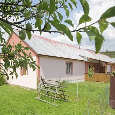 CottageCottage "Yalivets" Kolochava17 km from Mount KlymovaHot tubBBQKitchenNearby: Holy Spirit Church 1.7 kmMt Negrovets 7.3 km9 trails
Trails nearby
 HardMulti-dayMarkedTranscarpathian Tourist TrailElevation profile198–2 031 m393.2 kmascent 30 283 munder 1 km from Mount Klymova
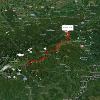 HardMulti-dayUnmarkedKolochava village to Yasiniavia Krasna ridge, Ust-Chorna village +1Elevation profile527–1 756 m81.4 kmascent 3 395 munder 1 km from Mount Klymova
 HardMulti-dayUnmarkedKolochava village to Ust-Chorna villagevia Mount Syhlianskyi, Mount Klymova +1Elevation profile515–1 557 m29.4 kmascent 1 742 m≈ 11 h walkingunder 1 km from Mount Klymova
Nearby attractions
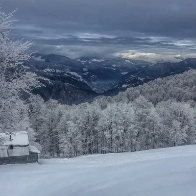 PeakMount Syhlanskyialtitude 1 564 m · Svydovets range6.5 km from Mount KlymovaSyhlanskyi is the highest peak of the Polonyna Krasna massif in the Ukrainian Carpathians. It lies in the Tiachiv district of Zakarpattia Oblast, between the villages...
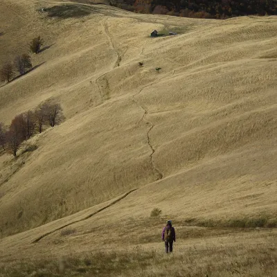 PeakMount Topasaltitude 1 548 m · Svydovets range10 km from Mount KlymovaTopas is a mountain in the Ukrainian Carpathians, in the Polonyna Krasna massif, Tiachiv district of Zakarpattia Oblast.
 PeakMount Strymbaaltitude 1 719 m · Gorgany range13 km from Mount Klymova4 trails to the topMount Strymba is a 1,719-meter peak of the Ukrainian Carpathians, which lies within the Gorgan mountain range - on the territory of the Pryvododilni Gorgan.