Mount Svydova
Svydova is a 1,425 m mountain (some sources give 1,430 m) in the Svydovets massif. It stands on the Shasa ridge — the largest north-western spur of the main Svydovets ridge — in the north-east of the Tiachiv district of Zakarpattia Oblast. The nearest village is Lopukhiv, about 4 km away; Ust-Chorna is also nearby (about 7 km). To the south-east rises Berliaska (1,555 m), and to the north-west, across the Brusturianka valley, the Kedryn ridge, which already belongs to the Gorgany.
The slopes of Svydova are steep and forested at the foot, while the treeless summit with its large mountain meadows offers views over Svydovets and the Gorgany.
How to get there
Our route Yasinia – Mount Stih – Mount Troiaska – Mount Pidpula – Lopukhiv passes about 180 m from the summit; it is 40.3 km long with about 1,930 m of ascent. Svydova lies on its final stretch, so from Lopukhiv you can climb to the top and back in a day, while the whole crossing from Yasinia takes two or three days.
Water, shelter and safety
Our map marks a hut on Mount Svydova only about 70 m from the summit, but it is in ruins and not fit for an overnight stay. The «Syhlianska» forester's hut stands about 400 m from the top, and the hut on Mount Torhovytsia about 2.2 km away. The nearest spring is below Berliaska, about 2.5 km away, so carry water. Thunderstorms and sudden fog are dangerous on the open meadows of Svydovets, and in winter avalanches are possible on the treeless slopes. In an emergency call 112 or 101 — the mountain rescue units of Zakarpattia work around the clock.
Interesting facts
- The Shasa ridge, on which Svydova stands, is the largest north-western spur of the main Svydovets ridge.
- The Brusturianka valley below the mountain separates Svydovets from the Gorgany: the Kedryn ridge begins on its far side.
Comments
Trails nearby
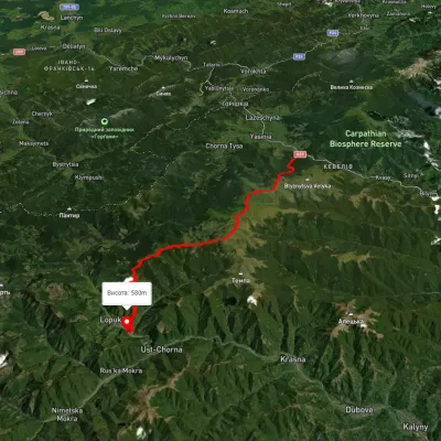 HardMulti-dayUnmarkedYasinia to Lopukhiv villagevia Mount Stih, Mount Troiaska +1Elevation profile583–1 754 m40.3 kmascent 1 934 m≈ 14 h walkingunder 1 km from Mount Svydova
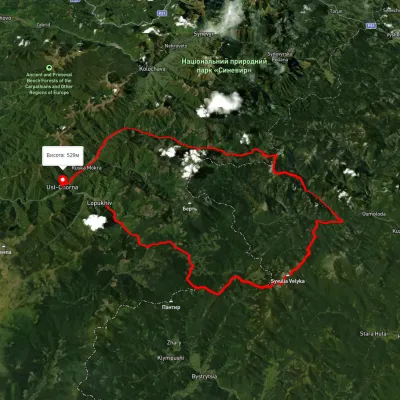 HardMulti-dayUnmarkedLopukhiv village to Ust-Chorna villagevia Legioniv Pass, Peklo tract +3Elevation profile522–1 809 m94.1 kmascent 3 095 m3.1 km from Mount Svydova
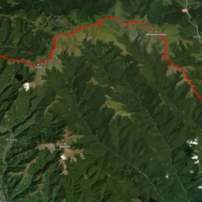 HardMulti-dayUnmarkedRakhiv to Ust-Chorna villagevia Mount Blyznytsia, Mount Unhariaska +1Elevation profile519–1 848 m63 kmascent 2 659 m4.8 km from Mount Svydova
Nearby attractions
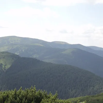 PeakBerlyaska Mountainaltitude 1 555 m · Svydovets range3.9 km from Mount SvydovaBerlyaska is a 1,555-meter peak of the Ukrainian Carpathians, which is located within the Svydovets mountain range (in its northwestern part).
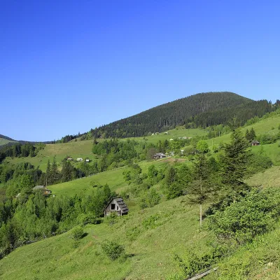 PeakMount Pidpulaaltitude 1 634 m · Svydovets range7.9 km from Mount Svydova3 trails to the topPidpula is a peak in the Ukrainian Carpathians, which is located in the northwestern part of the Svydovets mountain range - on the Shasa ridge.
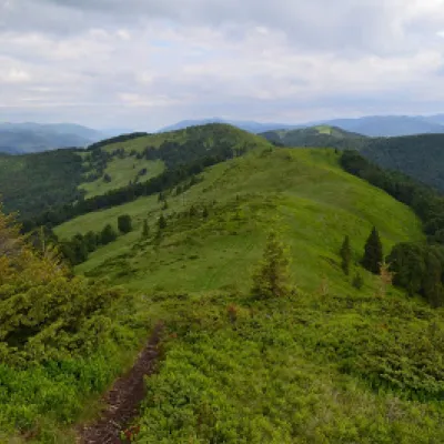 PeakMount Shpanskaaltitude 1 458 m8.9 km from Mount Svydova10 trails to the topThe top of Mount Shpanska (1458 meters above sea level) is located northwest of Mount Tempa within the Tyachiv district of Zakarpattia region.