Lake Gereshaska (Dogyaska)
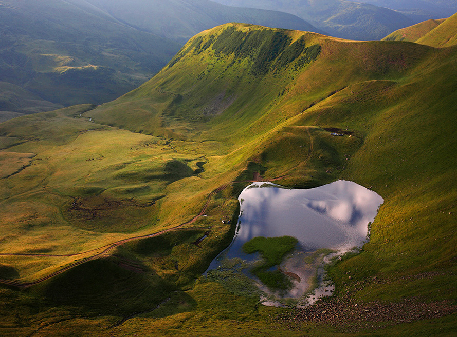
Gerashaska (another name - Dogyaska ) is a high-mountain lake in the Ukrainian Carpathians, within the Rakhiv district of Zakarpattia region. It is a hydrological natural monument of local significance (according to the decision of the Transcarpathian Regional Executive Committee of 23.10.1984, No. 253), with an area of 1.35 hectares, where it is referred to as "Lake Gereshavske". The organization responsible for its protection is the Kosiv-Polyanske Village Council.
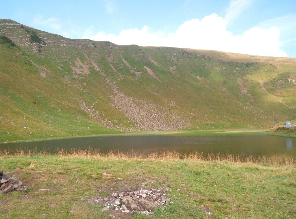
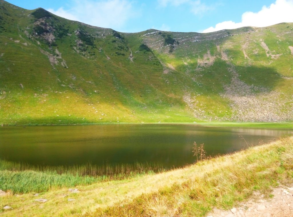
The lake is located at the bottom of a glacial karoo, on the northeastern slope of Mount Dogyaska (1761 m), in the Svydovets massif.
Clean air and incredible views will definitely not leave you indifferent. The crystal pearl is located at an altitude of 1577 meters above sea level. If you want to plunge into the water, we advise you to harden yourself beforehand, because the water in Gereshaske is very icy.
The lake is 125 m long, 110 m wide, covers an area of 1.2 hectares, and is up to 1.2 m deep. The hollow has the shape of an irregular rectangle, bounded by a wide moraine rampart. The northern banks are overgrown with sedge. It is fed mainly by snow water. Water temperature is low in summer (+10 °C, +11 °C in June). There is little algae, with microscopic crustaceans being the most common fauna. This is partly due to the location of the lake at an altitude of one thousand five hundred and seventy-seven meters above sea level and the lake's feeding with snow water from the mountains.
The basin where the reservoir is located is bounded by a moraine rampart that spreads widely around. On the northern side of the shore, the banks are overgrown with sedge in some places. Blueberry bushes overgrown all over the territory. There is not much algae in the lake, and the most common fauna is microscopic crustaceans.
Lake Gereshaska is popular with tourists, who stop here every year to enjoy the incredible beauty of the region.
The lake can be reached via Dragobrat, and Mount Stig. The Apshynets Ridge offers a picturesque view of Gereshaska. On the route along Svydovets there are marked notes for travelers: two white stripes with a yellow one in the middle. The road to the Black Tisza through Mount Troiaska is very difficult, reminiscent of the Cambodian jungle.
The Kosivska River originates in the lake.
Nearest settlements: Chorna Tysa, Kosivska Polyana, Kvasy, Yasinya.
Accommodation around Lake Gereshaska (Dogyaska):


Nearby hiking trails near Lake Gereshaska (Dogyaska):
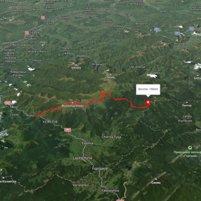
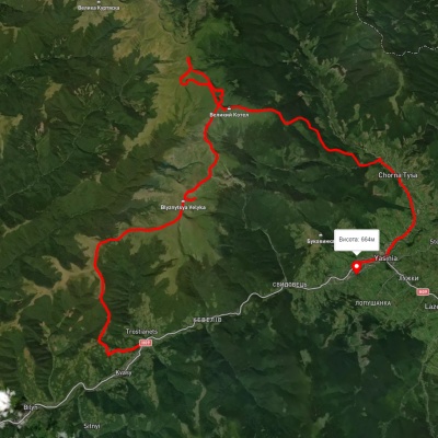
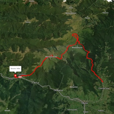
Which trails pass by Lake Gereshaska (Dogyaska)?
We suggest these hiking trails through or near Lake Gereshaska (Dogyaska): Kvasy village, via Mount Blyznytsia, Mount Velykyi Kotel and Mount Dohiaska to the Yablunytsia Pass, Kvasy village, via Mount Blyznytsia, Mount Stih, Mount Velykyi Kotel and Chorna Tysa village to Yasinia, Chorna Tysa village, via Mount Dohiaska, Mount Velykyi Kotel and Mount Blyznytsia to Kvasy village, Chorna Tysa village, via Mount Tataruka, Mount Dohiaska and Mount Blyznytsia to Kvasy village, Yasinia, via Mount Chorna Kleva, Mount Bratkivska, Mount Dohiaska and Mount Blyznytsia to Kvasy village, Chorna Tysa village, via Dragobrat, Lake Vorozheska, Lake Dohiaska, Lake Apshynets and Mount Stih to Kvasy village