Lopukhiv
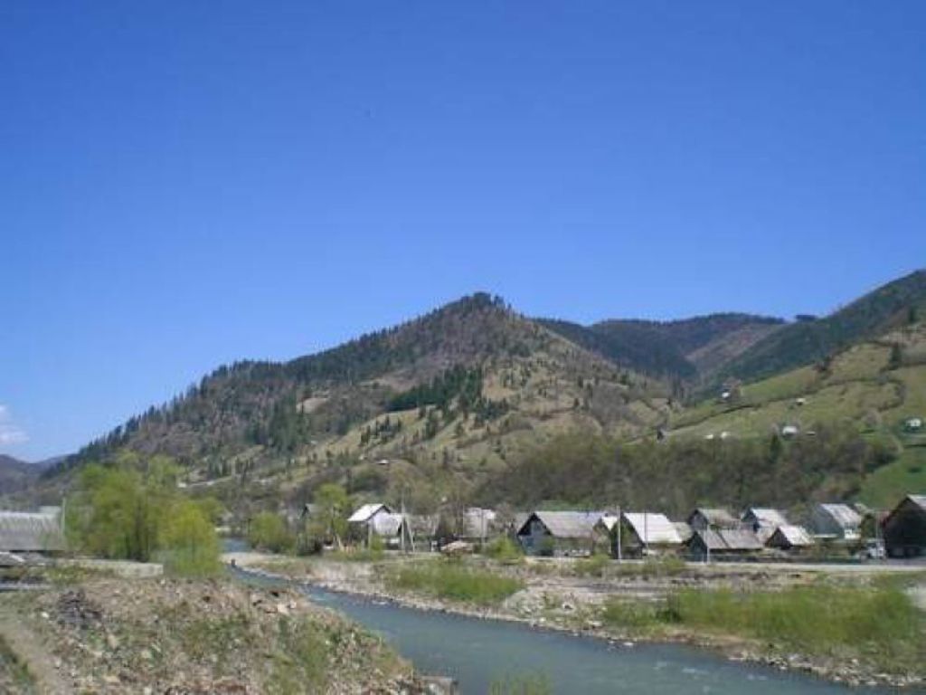
Lopukhiv is a settlement in the Carpathian region of Ukraine. Location: Tiachiv district, Transcarpathian region. Worth seeing nearby: Teresva River — 6 km; Lake Gereshaska (Dogyaska) — 18 km; Lake Vorozheskaya — 19 km. The nearest peaks: Mount Svydova — 1 425 m; Berlyaska Mountain — 1 555 m; Mount Prybui — 1 546 m. Hiking trails close by: Lopukhiv village, via Legioniv Pass, Peklo tract, Mount Syvulia, Mount Popadia and Nimetska Mokra village to Ust-Chorna village; Yasinia, via Mount Stih, Mount Troiaska and Mount Pidpula to Lopukhiv village. There are places to stay here and nearby, from guest houses to hotels.
Below: places to stay, sights, trails and peaks nearby, the weather and answers to frequent questions.
What to visit
Landmarks, museums and places of interest near Lopukhiv.
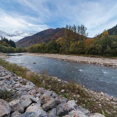 RiverTeresva RiverUst-Chorna5.6 km from the centreThe Teresva forms in Ust-Chorna, where the Mokrianka and Brusturianka meet, and flows south through Dubove, Kalyny, Hanychi and Neresnytsia to the town of Teresva,...
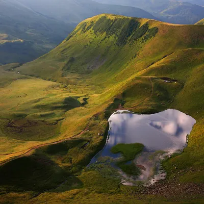 LakeLake Gereshaska (Dogyaska)Yasinya18 km from the centreGerashaska (another name - Dogyaska ) is a high-mountain lake in the Ukrainian Carpathians, within the Rakhiv district of Zakarpattia region.
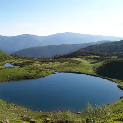 LakeLake VorozheskayaChorna Tysa19 km from the centreThe real pearl of the Carpathians - Lake Vorozheska (other names - Vorozheska, Triton ) - is a hydrological natural monument of local importance, a high-mountain lake...
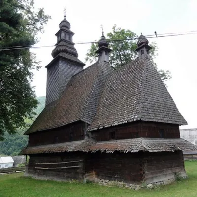 ChurchHoly Spirit Church, KolochavaKolochava20 km from the centreTheChurch of the Holy Spirit is a wooden church-museum located on a hill near the main road among the spruce trees in the village of Kolochava, Mizhhiria district,...
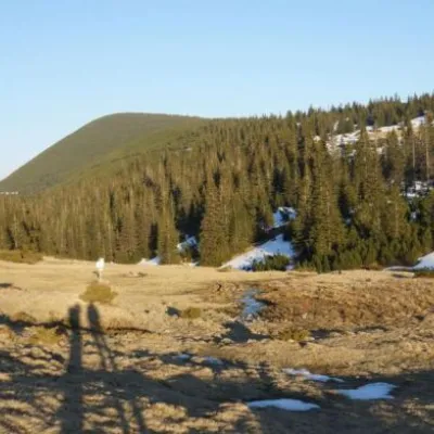 Mountain meadowPolonyna RuschynaOsmolodaaltitude 1 409 m22 km from the centreRuschyna meadow is famous for its panoramic views of the mountains that surround it from all sides and the diversity of flora and fauna.
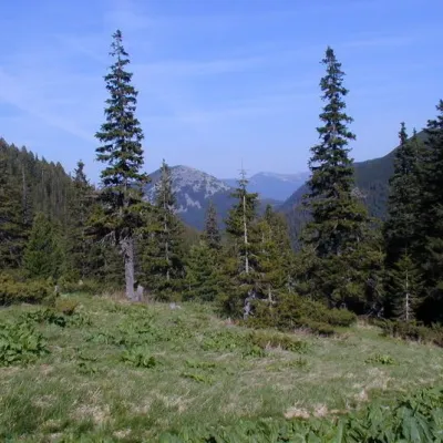 Mountain meadowPolonyna PlisceOsmoloda27 km from the centreThere are many mountain meadows in the Carpathians, but Plitse stands out from the rest. The "feature" of the Plitse meadow is that the first tourist shelter was built...
Where to stay
Hotels, guesthouses and cottages in and around Lopukhiv.
 Homestead"U Davidka i Matviika"Osmoloda22 km from the centreFireplaceKitchenParkingNearby: Mt Studenets 3.8 kmMt Petros Gorgansky 4.6 km2 trails
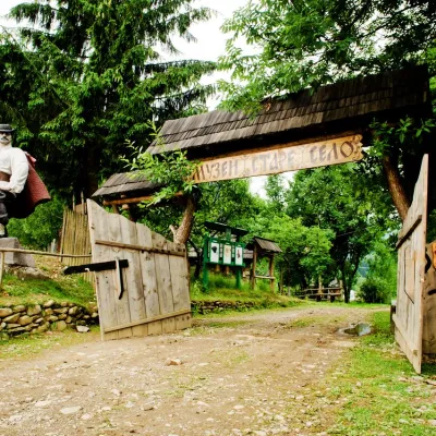 HotelComplex "Stare Selo" MykulychynKolochava20 km from the centreParkingTransferNearby: Holy Spirit Church 200 mMt Strymba 6.9 km10 trails
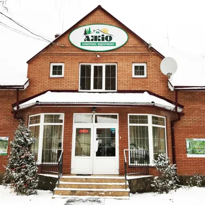 HotelRecreation Complex "Azhio" Mykulychyn VillageKolochava22 km from the centreSaunaKitchenTransferNearby: Holy Spirit Church 1.2 kmMt Negrovets 7.8 km9 trails
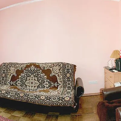 HomesteadHomestead "Faini Karpaty" OsmolodaOsmoloda22 km from the centreSaunaBBQKitchenNearby: Mt Studenets 3.8 kmMt Petros Gorgansky 4.6 km2 trails
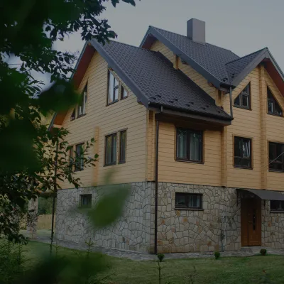 HomesteadHomestead "Albertville" OsmolodaOsmoloda22 km from the centreFireplaceKitchenParkingNearby: Mt Studenets 4.0 kmMt Petros Gorgansky 4.8 km2 trails
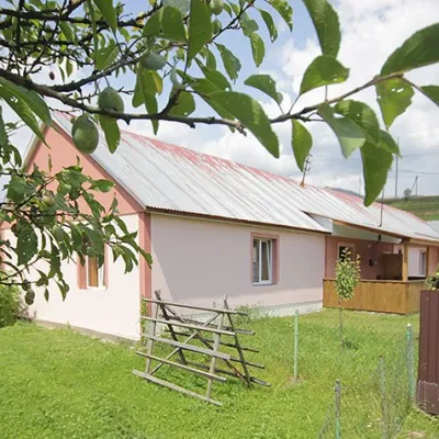 CottageCottage "Yalivets" KolochavaKolochava22 km from the centreHot tubBBQKitchenNearby: Holy Spirit Church 1.7 kmMt Negrovets 7.3 km9 trails
Trails nearby
All trails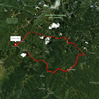 HardMulti-dayUnmarkedLopukhiv village to Ust-Chorna villagevia Legioniv Pass, Peklo tract +3Elevation profile522–1 809 m94.1 kmascent 3 095 munder 1 km from the centre
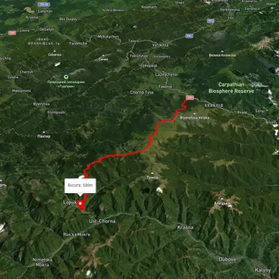 HardMulti-dayUnmarkedYasinia to Lopukhiv villagevia Mount Stih, Mount Troiaska +1Elevation profile583–1 754 m40.3 kmascent 1 934 m≈ 14 h walking1.7 km from the centre
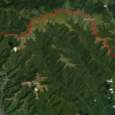 HardMulti-dayUnmarkedRakhiv to Ust-Chorna villagevia Mount Blyznytsia, Mount Unhariaska +1Elevation profile519–1 848 m63 kmascent 2 659 m4.2 km from the centre
Peaks nearby
All peaks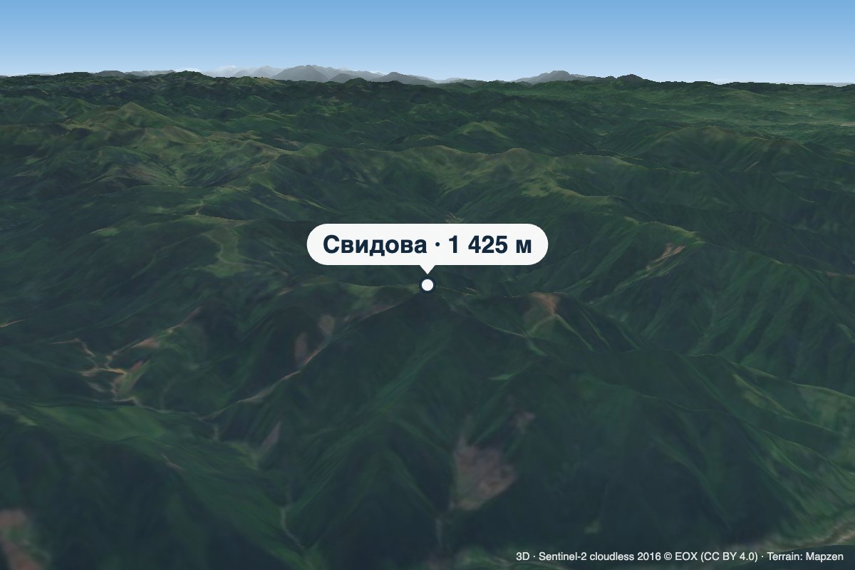 PeakMount SvydovaLopukhivaltitude 1 425 m · Svydovets range3.8 km from the centreSvydova is a 1,425 m mountain (some sources give 1,430 m) in the Svydovets massif. It stands on the Shasa ridge — the largest north-western spur of the main Svydovets...
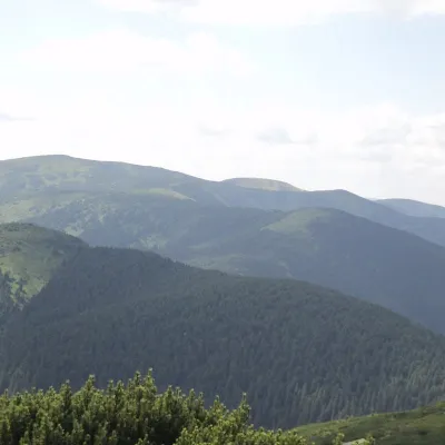 PeakBerlyaska MountainLopukhivaltitude 1 555 m · Svydovets range7.7 km from the centreBerlyaska is a 1,555-meter peak of the Ukrainian Carpathians, which is located within the Svydovets mountain range (in its northwestern part).
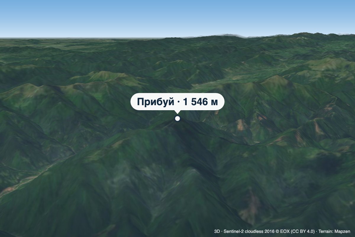 PeakMount PrybuiKomsomolskaltitude 1 546 m · Gorgany range8.7 km from the centrePrybui is a 1,546 m summit in the south-western Gorgany, in the Tiachiv district of Zakarpattia Oblast.