Mount Prybui
Prybui is a 1,546 m summit in the south-western Gorgany, in the Tiachiv district of Zakarpattia Oblast. It belongs to the Bushtul group, which lies south of the Nimetskyi pass (1,177 m), and closes the south-western shoulder that branches off from Mount Bushtul. The nearest village is Nimetska Mokra, about 2.6 km away; a little further lie Pryslip (about 5 km) and Ruska Mokra (about 6 km), with Kolochava to the south-west (about 9.5 km).
According to OpenStreetMap, the nearest neighbouring summit is Pryslup (1,337 m), about 2.1 km to the north-east. Higher up the same shoulder, about 6 km to the north-east, stands Stranzul (1,630 m). The nearest springs in the valleys lie at 640–700 m, so from there you need to climb more than 800 m to the summit.
How to get there
Our site has no marked route to the summit itself yet. Our nearest routes pass about 2.3 km from Prybui: Bert ridge – Mount Bushtul – Nimetska Mokra (21.3 km) descends along the ridge to Nimetska Mokra, and the multi-day Lopukhiv – Legioniv pass – Peklo – Mount Syvulia – Mount Popadia – Nimetska Mokra – Ust-Chorna (94.1 km) runs through the same village. Climbing Prybui from these routes requires navigation skills and a map.
Water, shelter and safety
Our map shows no water near the summit. The nearest springs are marked down in the valleys — about 2.5 km to the west (around 695 m) and 3.2 km to the south (around 635 m) — and a picnic shelter near Pryslip is about 3.4 km to the west. Their condition is unknown, so bring water from the village. Gorgany summits are often covered with rocks and dwarf pine, so in fog it is easy to lose your bearings. The nearest summit with our forecast is weather on Hrofa (about 25 km away). In an emergency call 112 or 101 — contacts of the nearest units are on our mountain rescue page.
Interesting facts
- Prybui is the last, south-westernmost summit of the shoulder that runs from Bushtul.
- Nimetska Mokra is only about 2.6 km from the summit as the crow flies — the summit literally towers over the village.
Comments
Travellers’ experience: reports, tips, questions.
No one has reported on this trail yet. Been here lately? Tell others what it is like now.
Water and shelter nearby
- Spring (Komsomolsk, 8)2.5 km · Not verified · 695 m
Wildlife nearby
AllPlaces to stay nearby
All stays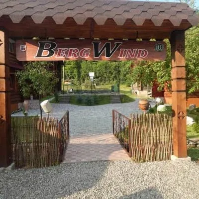 HotelBergWindTyachiv6 km from Mount PrybuiSaunaParkingWi‑FiNearby: Mt Klymova 4.0 kmPolonyna Krasna 8.1 km2 trailsfrom 1 000 UAH per night
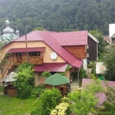 HotelU Halyny ta YosypaTyachiv9.6 km from Mount PrybuiBBQParkingWi‑FiNearby: Mt Klymova 5.3 kmMt Svydova 7.5 km2 trailsfrom 450 UAH per night
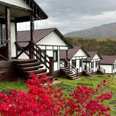 HotelKolochava Eco ResortMizhhiria11 km from Mount PrybuiHot tubPoolSaunaNearby: Holy Spirit Church 900 mMt Strymba 6.0 km13 trailsfrom 3 500 UAH per night
Trails nearby
All trails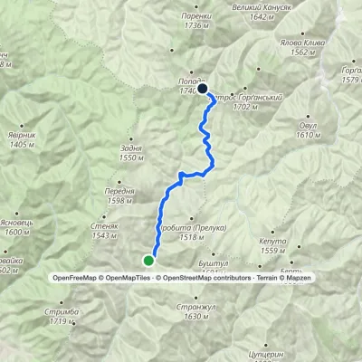 HardOne-dayMarkedUst-Chorna Mount PopadiaElevation profile653–1 461 m24.3 kmascent 930 m≈ 7.5 h walking2.3 km from Mount Prybui
 ModerateOne-dayBert ridge to Nimetska Mokra villagevia Mount BushtulElevation profile652–1 667 m21.3 kmascent 304 m≈ 6 h walking2.3 km from Mount Prybui
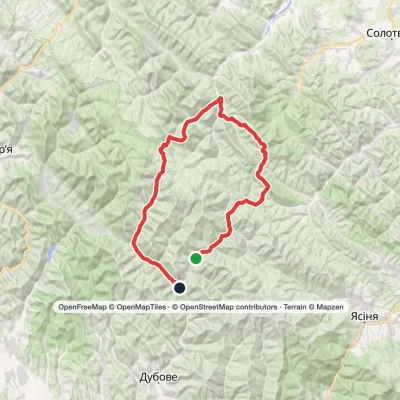 HardMulti-dayLopukhiv village to Ust-Chorna villagevia Legioniv Pass, Peklo tract +3Elevation profile521–1 836 m94.1 kmascent 3 034 m2.3 km from Mount Prybui
Nearby attractions
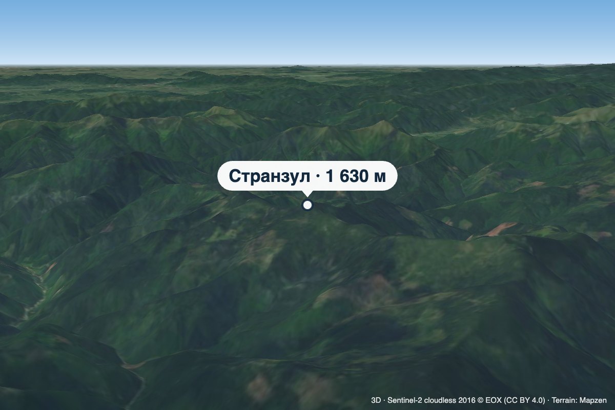 PeakMount StranzulKomsomolskaltitude 1 630 m · Gorgany range5.9 km from Mount PrybuiStranzul is a 1,630 m summit (1,631 m according to other sources) in the south-western Gorgany. It belongs to the Bushtul group, which lies south of the Nimetskyi pass...
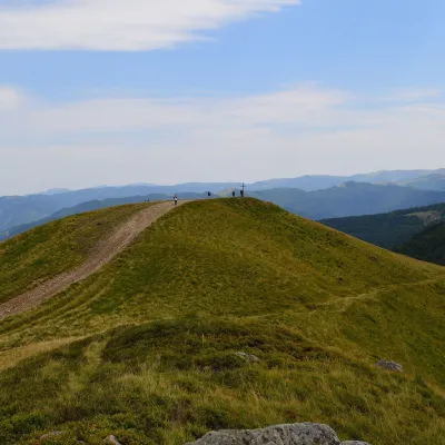 Mountain meadowPolonyna KrasnaKolochavaaltitude 1 450 m · Svydovets range6.4 km from Mount PrybuiPolonyna Krasna is a massif of the Polonynskyi Ridge in Zakarpattia, in the Tiachiv and partly the Khust districts, between the valleys of the Tereblia and the Teresva.
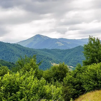 PeakMount StrymbaKolochavaaltitude 1 719 m · Gorgany range6.5 km from Mount Prybui4 trails to the topMount Strymba is a 1,719-meter peak of the Ukrainian Carpathians, which lies within the Gorgan mountain range - on the territory of the Pryvododilni Gorgan.
Craft nearby
All craft places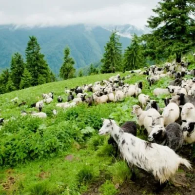 Cheese dairies & pasturesShepherding School on Mount Strymba, KolochavaKolochava13 km from Mount PrybuiThe Kolochava Shepherding School is not a building with classrooms but a summer shepherds' camp (salash) on the slopes of Mount Strymba (1,719 m), one of the highest...
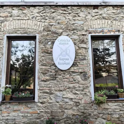 Koliby & Hutsul cuisineKorchma “Zhandarmska Uprava”, KolochavaKolochava13 km from Mount PrybuiKorchma “Zhandarmska Uprava” (“The Gendarmerie Station”) is a family-run tavern in the centre of Kolochava, one of the best-known tourist villages in Transcarpathia.
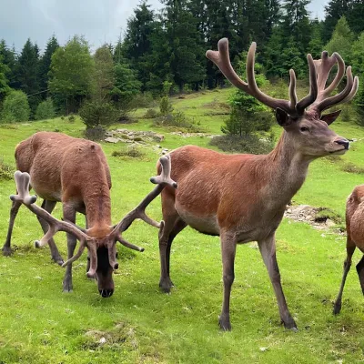 Wildlife parks & animal farmsBioPark Synevyr – Africa in the Carpathians, Synevyrska PolianaSynevyrska Polyana23 km from Mount PrybuiBioPark Synevyr – Africa in the Carpathians is a hands-on animal park in the Rabachynka area near Synevyrska Poliana, in the valley of the Chorna river.
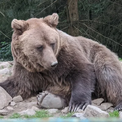 Wildlife parks & animal farmsBrown Bear Rehabilitation Centre, Synevyr National Park, Synevyrska PolianaSynevyrska Polyana23 km from Mount PrybuiThe Brown Bear Rehabilitation Centre of Synevyr National Nature Park is Ukraine’s largest refuge for bears that have suffered from cruel treatment.
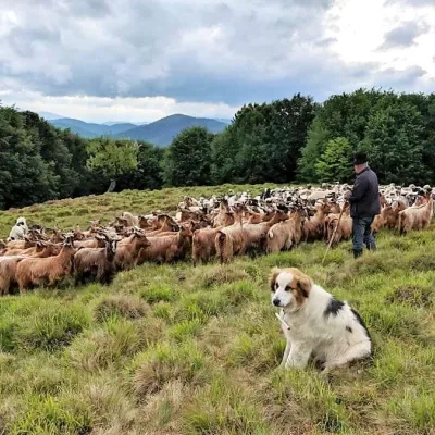 Cheese dairies & pasturesVivcharskyi Khutir Sheep Farm, Synevyrska PolianaSynevyrska Polyana24 km from Mount Prybui"Vivcharskyi Khutir" ("Shepherd's Homestead") is an ethno-centre and sheep farm in Synevyrska Poliana, near Lake Synevyr.
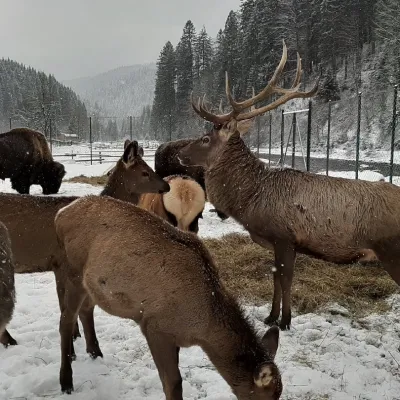 Wildlife parks & animal farmsWolf Valley Eco Park, Synevyrska PolianaSynevyrska Polyana24 km from Mount PrybuiWolf Valley Eco Park (Dolyna Vovkiv) is a private animal park in Synevyrska Poliana, in the Mizhhiria area of Zakarpattia, where several kinds of wolves, red deer,...
