Berlyaska Mountain
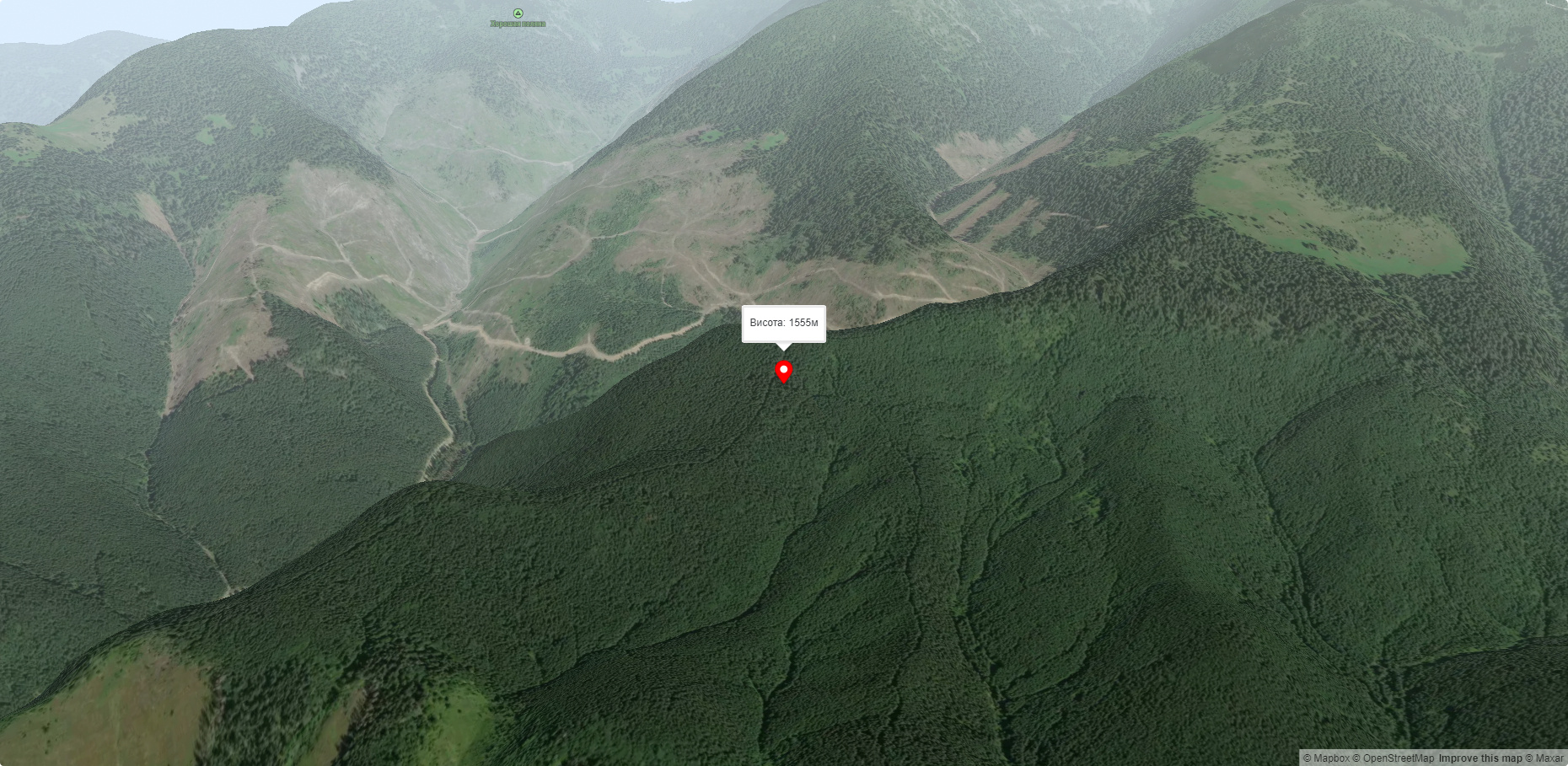
Berlyaska is a 1,555-meter peak of the Ukrainian Carpathians, which is located within the Svydovets mountain range (in its northwestern part). The mountain is located in Tyachiv district of Zakarpattia region.
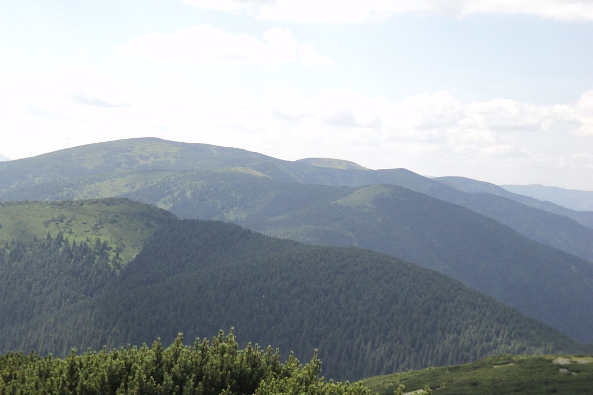
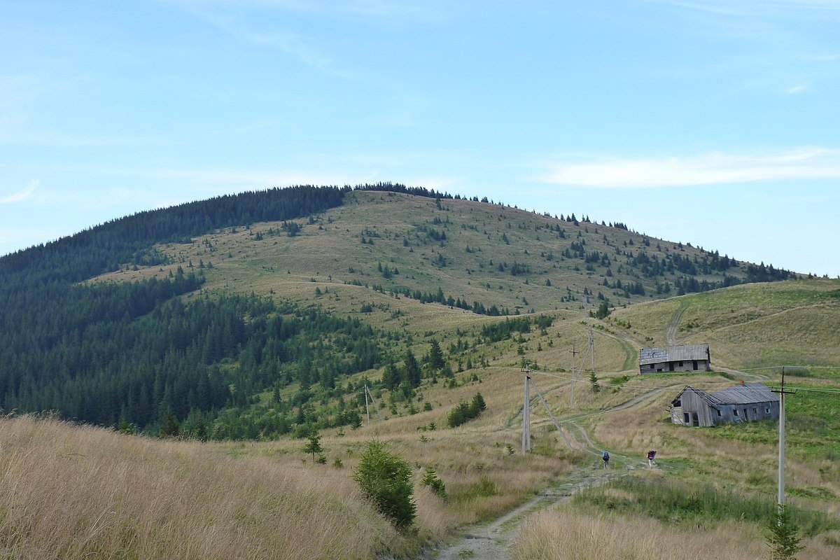
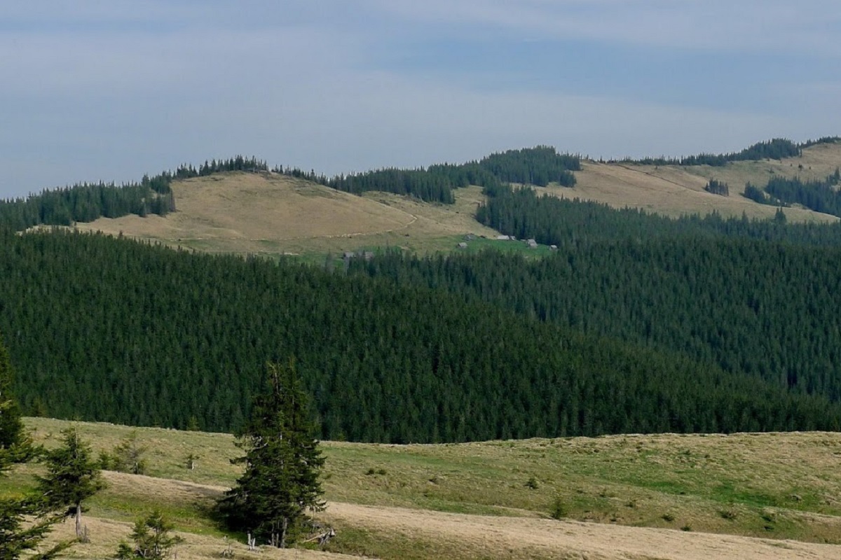
Up to 1300-1400 meters, the slopes of Berlyaska are covered with centuries-old beech and coniferous forests, dense crooked woods, and above this mark - with meadows. The top of the mountain is unforested and has a flat shape.
The western slopes are gentle, while the southeastern and northwestern slopes are steep and difficult to access.
Berlyaska is a part of the Shasa ridge, which is the largest northwestern branch of the main Svydovets ridge.
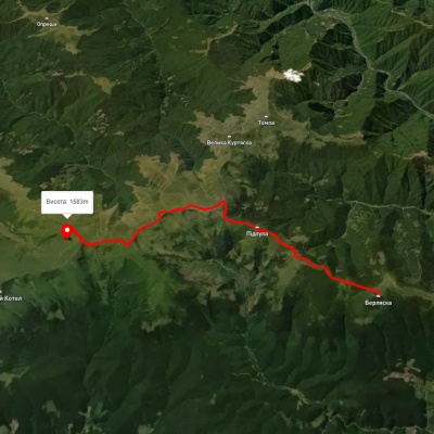
To the west of Berlyaska Mountain is Cheryapen Mountain, to the northwest is Svydova Mountain, to the southeast is Pidpula Mountain, to the northeast are Durnia Mountain, Bratkivska Mountain, and Gropa Mountain.
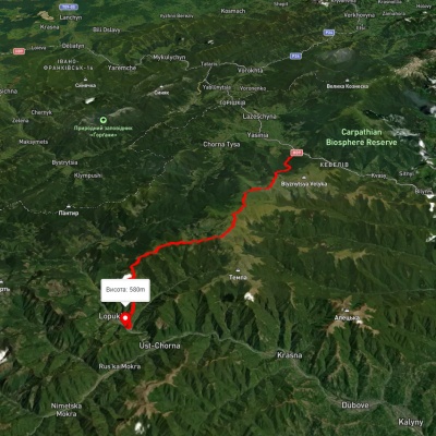
The nearest settlement is the village of Lopukhiv, Tyachiv district, Zakarpattia region.
Accommodation around Berlyaska Mountain:


Nearby hiking trails near Berlyaska Mountain:
Which trails pass by Berlyaska Mountain?
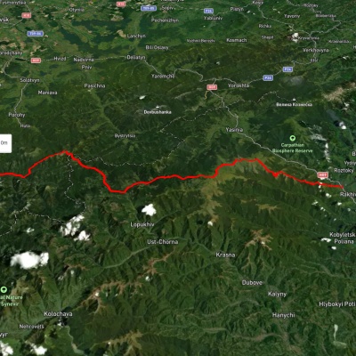
We suggest these hiking trails through or near Berlyaska Mountain: Mount Berliaska, via Mount Unhariaska and Mount Troiaska to Lake Dohiaska, Yasinia, via Mount Stih, Mount Troiaska and Mount Pidpula to Lopukhiv village, Rakhiv, via the Svydovets ridge, the Bratkivskyi ridge, the Syvulianskyi ridge and the Ihrovyshche ridge to Osmoloda village, Dubove village, via Mount Apetska, Mount Dohiaska, Mount Stih and Mount Blyznytsia to Kvasy village, Dragobrat, via Mount Stih, Mount Velykyi Kotel, Mount Unhariaska and Mount Tempa to Krasna village, Synevyr village, via Mount Nehrovets, Mereshor village, Krasna ridge, Ust-Chorna village and Svydovets ridge to Kvasy village