Svydovets
Свидовець
Svydovets is a mountain range in the Outer Eastern Carpathians. It lies in Ukraine. Elevation ranges from 428 to 1,851 m over about 461 km².
- Elevation
- 428–1,851 m
- Area
- ≈ 461 km²
- Countries
- Ukraine
- Part of
- Outer Eastern Carpathians
On the map
Waymarked trails · 49
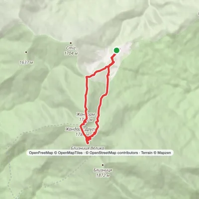 ModerateOne-dayDragobrat loopvia Mount BlyznytsiaElevation profile1 306–1 876 m10.1 kmascent 547 m≈ 3.5 h walking
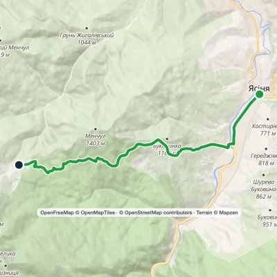 ModerateOne-dayMarkedYasinia DragobratElevation profile637–1 315 m12 kmascent 692 m≈ 4.5 h walking
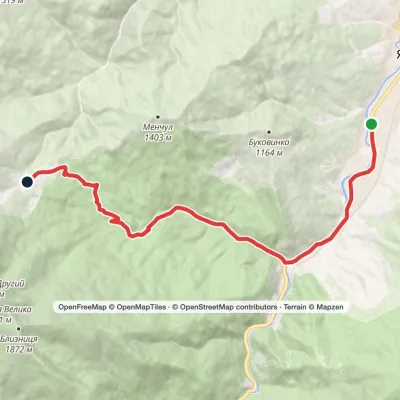 ModerateOne-dayYasinia DragobratElevation profile625–1 349 m13 kmascent 750 m≈ 5 h walking
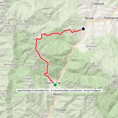 HardTwo-dayMarkedKvasy village to Yasiniavia Mount Blyznytsia, DragobratElevation profile544–1 875 m22.6 kmascent 1 397 m≈ 8.5 h walking
 HardMulti-dayChorna Tysa village to Kvasy villagevia Dragobrat, Lake Vorozheska +3Elevation profile631–1 767 m36.6 kmascent 1 634 m≈ 12.5 h walking
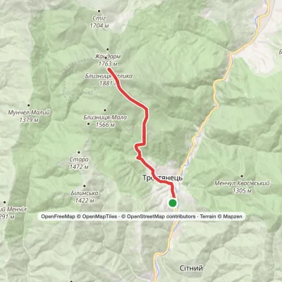 HardTwo-dayMarkedKvasy village loopvia Mount BlyznytsiaElevation profile540–1 874 m20.2 kmascent 1 445 m≈ 8 h walking
 HardMulti-dayDragobrat to Krasna villagevia Mount Stih, Mount Velykyi Kotel +2Elevation profile421–1 756 m35.3 kmascent 783 m≈ 10.5 h walking
 ModerateOne-dayMarkedYasinia to Mount Blyznytsiavia DragobratElevation profile629–1 876 m13.2 kmascent 1 291 m≈ 6 h walking
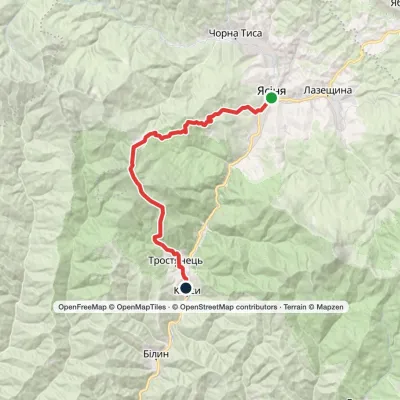 HardMulti-dayYasinia to Kvasy villagevia Dragobrat, Mount BlyznytsiaElevation profile539–1 875 m26.6 kmascent 1 545 m≈ 9.5 h walking
Peaks · 23
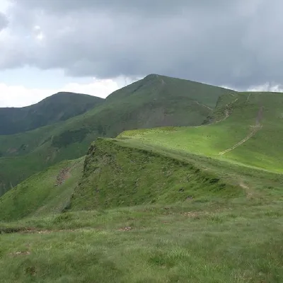 PeakMount BliznytsiaYasinyaaltitude 1 883 m · Svydovets range52 trails to the topBlyznytsia (also called Bliznytsia, Blyzhnytsia) are two mountains of the Ukrainian Carpathians, located in the...
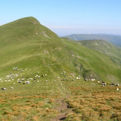 Mountain meadowPolonyna BlyznytsiaKvasyaltitude 1 780 m · Svydovets rangeBlyznytsia polonyna is the summit pastureland of the highest massif of Svydovets, in the Rakhiv district of Zakarpattia.
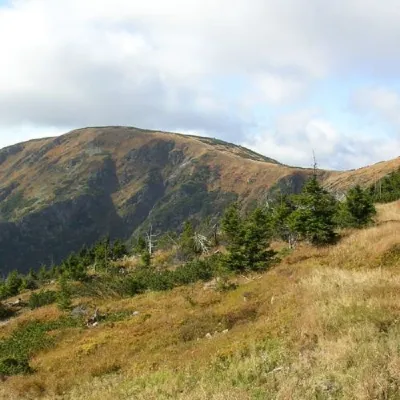 PeakMount Velykyi KotelYasinyaaltitude 1 771 m · Svydovets range39 trails to the topMount Velykyi Kotel is the peak of the Ukrainian Carpathians, which lies within the Svydovets mountain range.
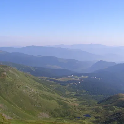 PeakMount Drahobrat (Zhandarm)Drahobrataltitude 1 763 m · Svydovets rangeDrahobrat, also called the First Zhandarm, is a 1,763 m mountain on the Urdu-Flavantuch ridge in the eastern part of...
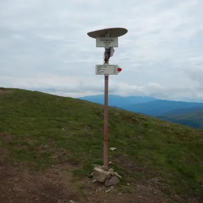 PeakMount HeryshaskaChorna Tysaaltitude 1 762 m · Svydovets rangeMount Heryshaska (1762 m) is a summit on the main ridge of the Svydovets range in Rakhiv district, Zakarpattia Oblast.
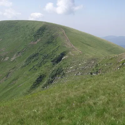 PeakMount DogyaskaChorna Tysaaltitude 1 761 m · Svydovets range38 trails to the topDogyaska is a peak in the Ukrainian Carpathians, located in the central part of the Svydovets mountain range.
What to see
Huts and shelters · 77
AllHut on Polonyna BraivkaHut on Polonyna TatulHut on Polonyna ZasovyHut “Apshynets”Mountain shelter “Perelisok”Hut on Polonyna VorozheskaForester's hut “Torhovytsia”Forester's hut “Berliaska”Forester's hut “Luhy”Shepherds' hut at Turbatska PolianaForester's hut “Bedevelska”Forester's hut “Matyiaska”Hut on Polonyna PerelisokHut on Polonyna Staryi (2)Hut on Polonyna ShesaHut at Turbatska PolianaForester's hut “Matyiashchyk”Forester's hut “Shpanchyk”
Springs · 232
AllMineral spring “Burkut-3”Burkut-Z springMineral spring “Burkut-4”Mineral spring “Burkut-5”Burkut springBurkut spring (2)Spring (Trostyanets, 19)Spring (Bilyn, 5)Sheep springSpring “Ukraine”Spring (Yasinya)Spring below Mount Blyznytsia (5)Spring (Chorna Tysa, 6)Spring (Trostyanets, 10)Spring (Chorna Tysa, 11)Mineral spring (Trostyanets)Mineral spring (Bilyn)Spring below Mount Blyznytsia (2)
© EEA (CC BY 4.0) · GMBA Mountain Inventory v2 (CC BY 4.0) · © OpenStreetMap contributors (ODbL)
