Mount Bolshoi Kotel
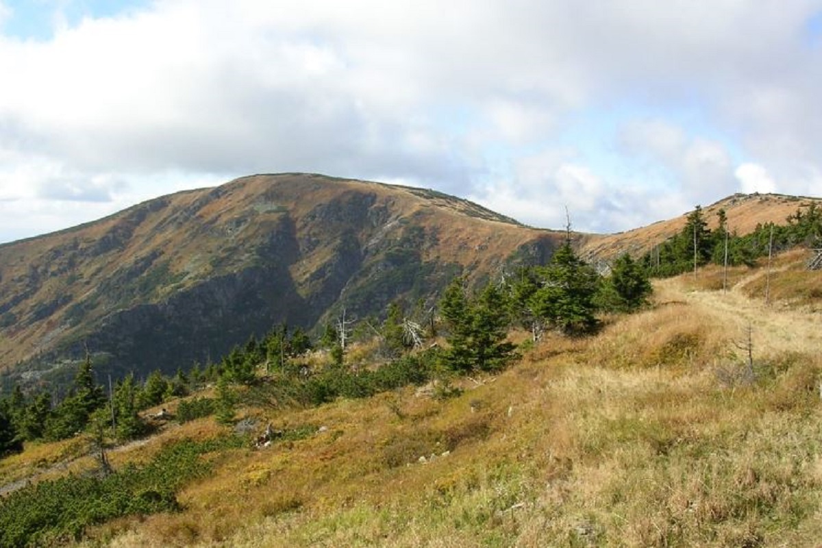
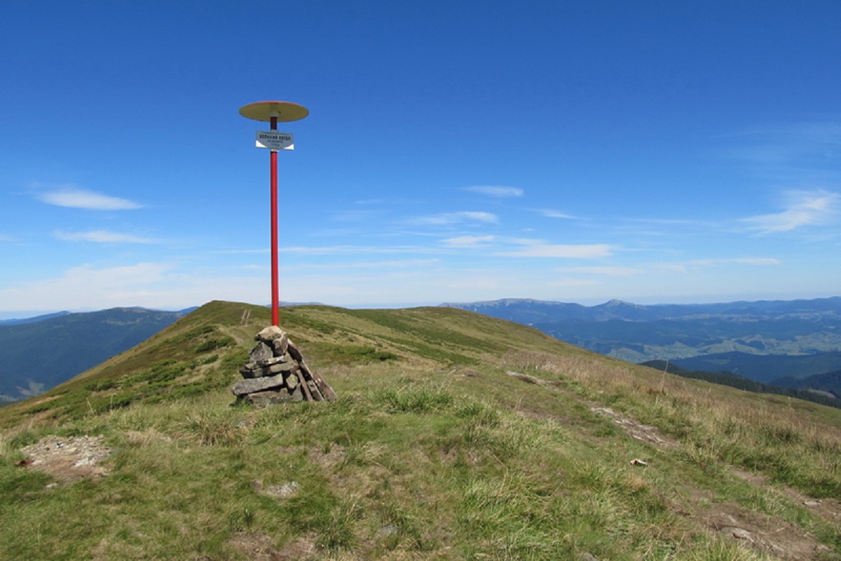
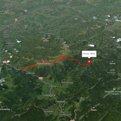
Mount Velykyi Kotel is the peak of the Ukrainian Carpathians, which lies within the Svydovets mountain range. It is located in Rakhiv district of Zakarpattia region. The height of the mountain is 1771 m (other data - 1774 m).
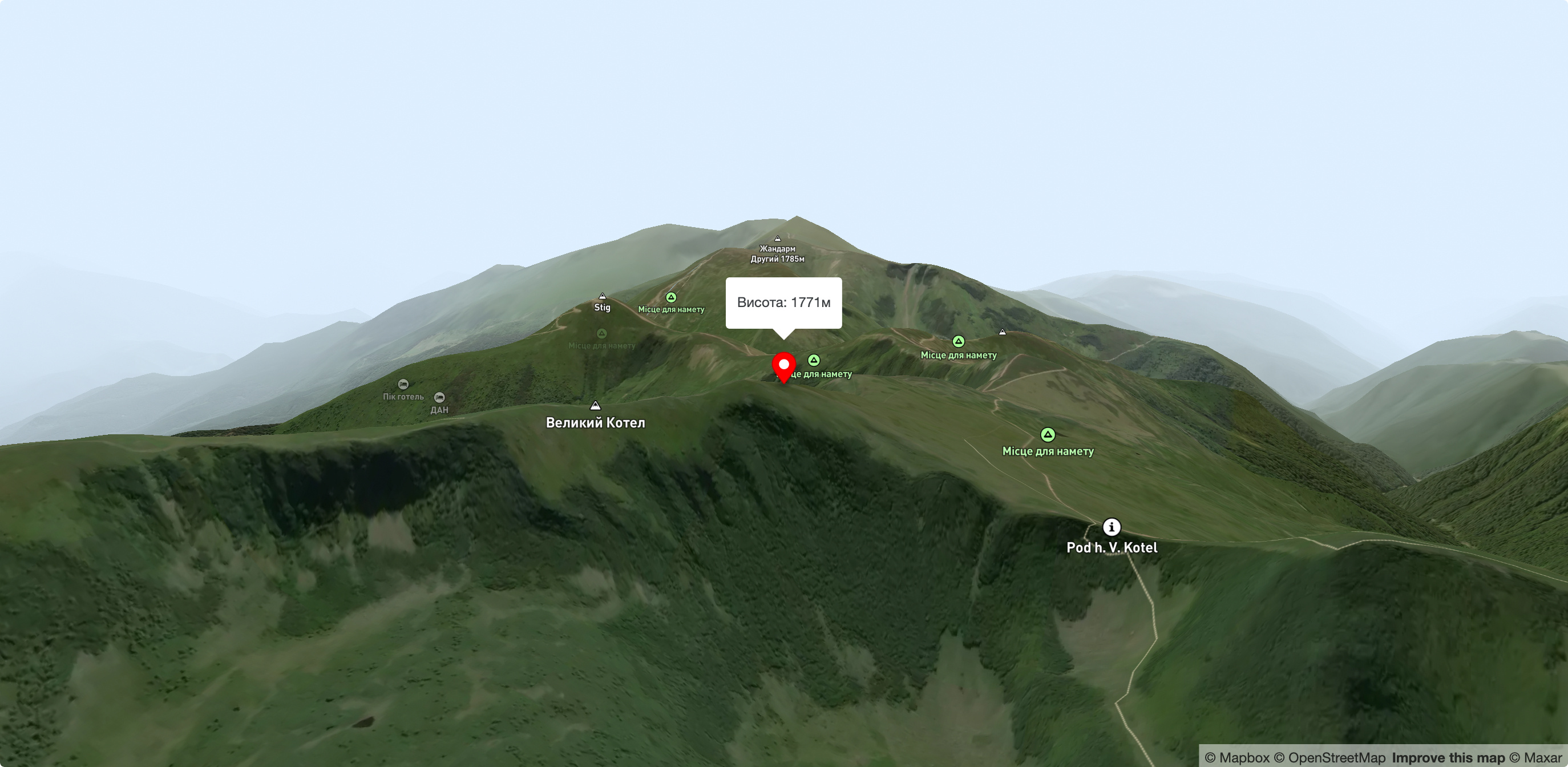
The upper part of the Velykyi Kotl is covered with meadows. The slopes of the peak are steep, especially in the southeast direction; the western and southern slopes are somewhat gentler.
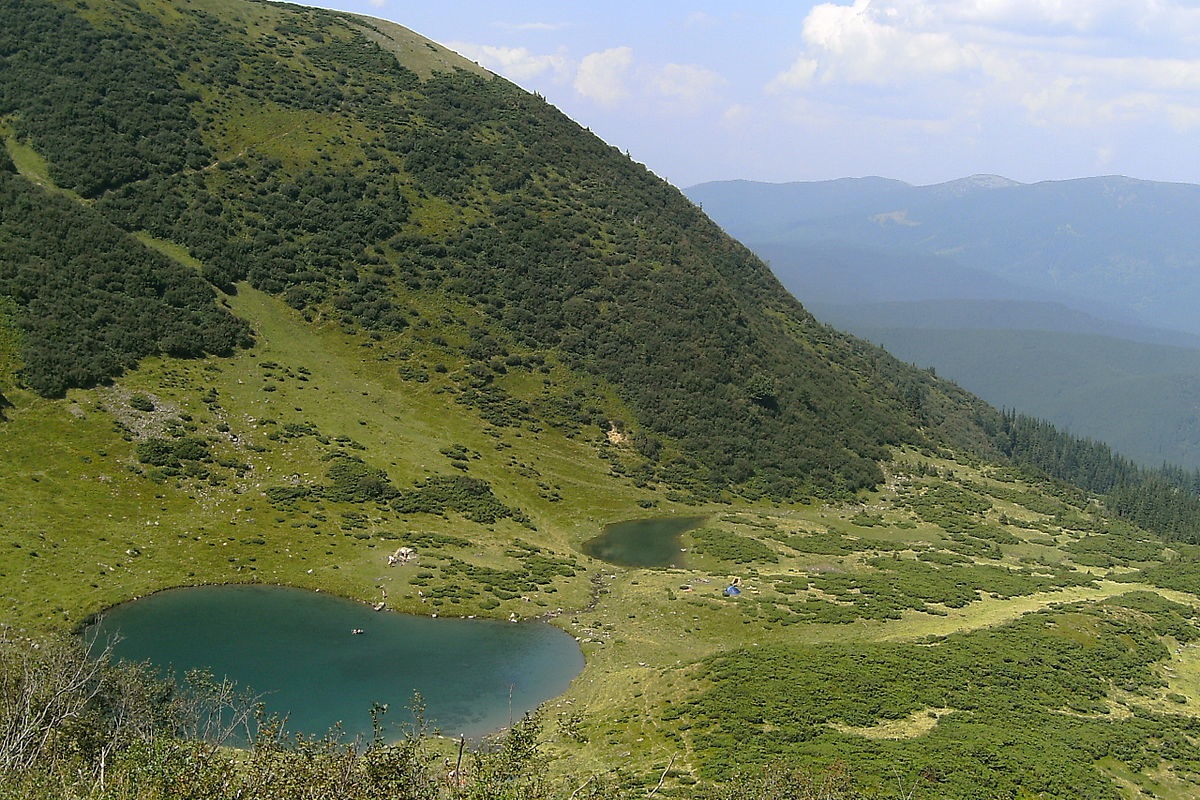
On the northwestern side of the mountain there is a steep, sometimes even sheer cliff, at the bottom of which there is a hydrological natural monument of local importance - the alpine lake Vorozheska (located at an altitude of 1460 m above sea level).
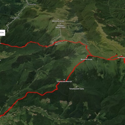
On the southern side of the Velykyi Kotlo there is a saddle, which can be used to reach the highest peak of Svydovets - Mount Blyznytsia (1883 m).
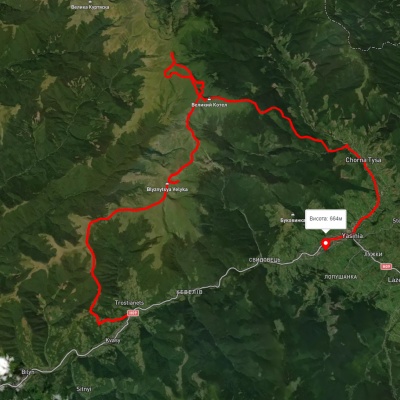
The nearest settlements are Yasinia and Chorna Tysa in Rakhiv district of Zakarpattia region.
Accommodation around Mount Bolshoi Kotel:


Nearby hiking trails near Mount Bolshoi Kotel:
Which trails pass by Mount Bolshoi Kotel?
We suggest these hiking trails through or near Mount Bolshoi Kotel: Kvasy village, via Mount Blyznytsia, Mount Velykyi Kotel and Mount Dohiaska to the Yablunytsia Pass, Kvasy village, via Mount Blyznytsia, Mount Stih, Mount Velykyi Kotel and Chorna Tysa village to Yasinia, Chorna Tysa village, via Dragobrat, Lake Vorozheska, Lake Dohiaska, Lake Apshynets and Mount Stih to Kvasy village, Chorna Tysa village, Mount Velykyi Kotel and Mount Blyznytsia to Kvasy village, Yasinia, via Dragobrat, Mount Stih, Mount Velykyi Kotel and Chorna Tysa village to Yasinia, Stara Huta village, via Mount Vysoka, Mount Syvulia, Mount Durnia, Mount Bratkivska, Mount Tataruka and Mount Blyznytsia to Bilyn village