Condition
Poor conditionReported in poor condition: gaps, leaking roof or no door. Bring a tent.
- 1 214 m
- Has a stove
- Sleeps up to 3
- Sometimes locked
About
Svydovets range, about 1 210 m above sea level. The nearest settlement is Trostyanets, about 3.4 km in a straight line. 8 of the site’s trails pass nearby, including “Chorna Tysa village, via Mount Tataruka, Mount Dohiaska and Mount Blyznytsia to Kvasy village”.
According to the latest reports, it is in poor condition. Inside: a stove. Sleeps up to about 3 people. The nearest known spring is 40 m away. It is sometimes locked.
On the map
Coordinates: 48.18719, 24.25681
How to get there
Trails nearby
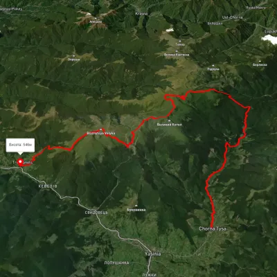 HardMulti-dayUnmarkedChorna Tysa village to Kvasy villagevia Mount Tataruka, Mount Dohiaska +1Elevation profile560–1 858 m48.8 kmascent 2 694 m
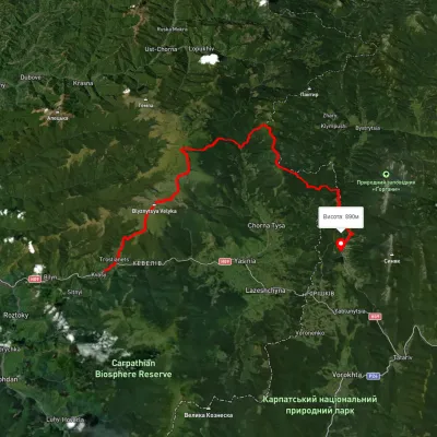 HardMulti-dayUnmarkedKvasy village to Polianytsia villagevia Mount Blyznytsia, Mount Bratkivska +1Elevation profile532–1 856 m57.2 kmascent 4 074 m
 HardMulti-dayUnmarkedKvasy village to the Yablunytsia Passvia Mount Blyznytsia, Mount Velykyi Kotel +1Elevation profile535–1 852 m36 kmascent 3 313 m
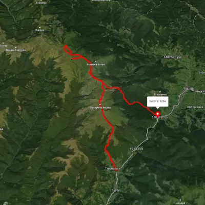 HardMulti-dayUnmarkedKvasy village to Yasiniavia Mount Blyznytsia, Mount Stih +4Elevation profile552–1 864 m41 kmascent 2 512 m
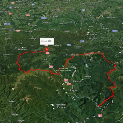 HardMulti-dayUnmarkedDilove village to Yablunytsia villagevia Mount Pip Ivan Marmaroskyi, Mount Hoverla +4Elevation profile362–2 013 m156.7 kmascent 9 253 m
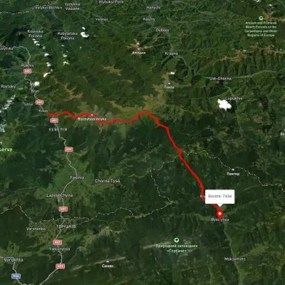 HardMulti-dayUnmarkedKvasy village to Bystrytsia villagevia Mount Blyznytsia, Mount Troiaska +2Elevation profile546–1 857 m45.7 kmascent 2 886 m
Nearest settlement: Trostyanets, about 3.4 km in a straight line.
Report the condition
Been here recently? Tell us what you saw and add photos — your report appears on the page right away with today’s date.
No photos yet — send yours together with a condition report.
