Mount Drahobrat (Zhandarm)
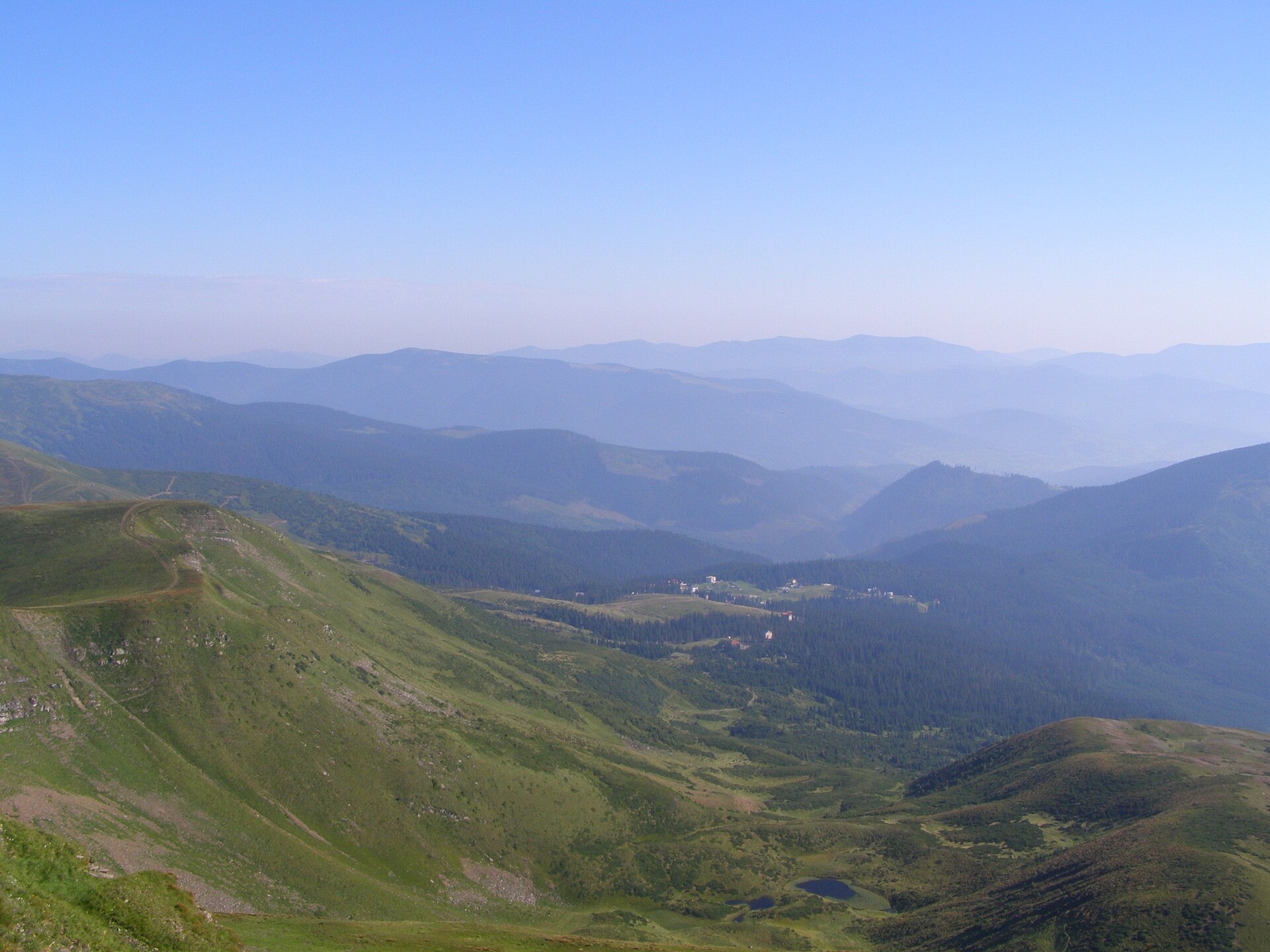
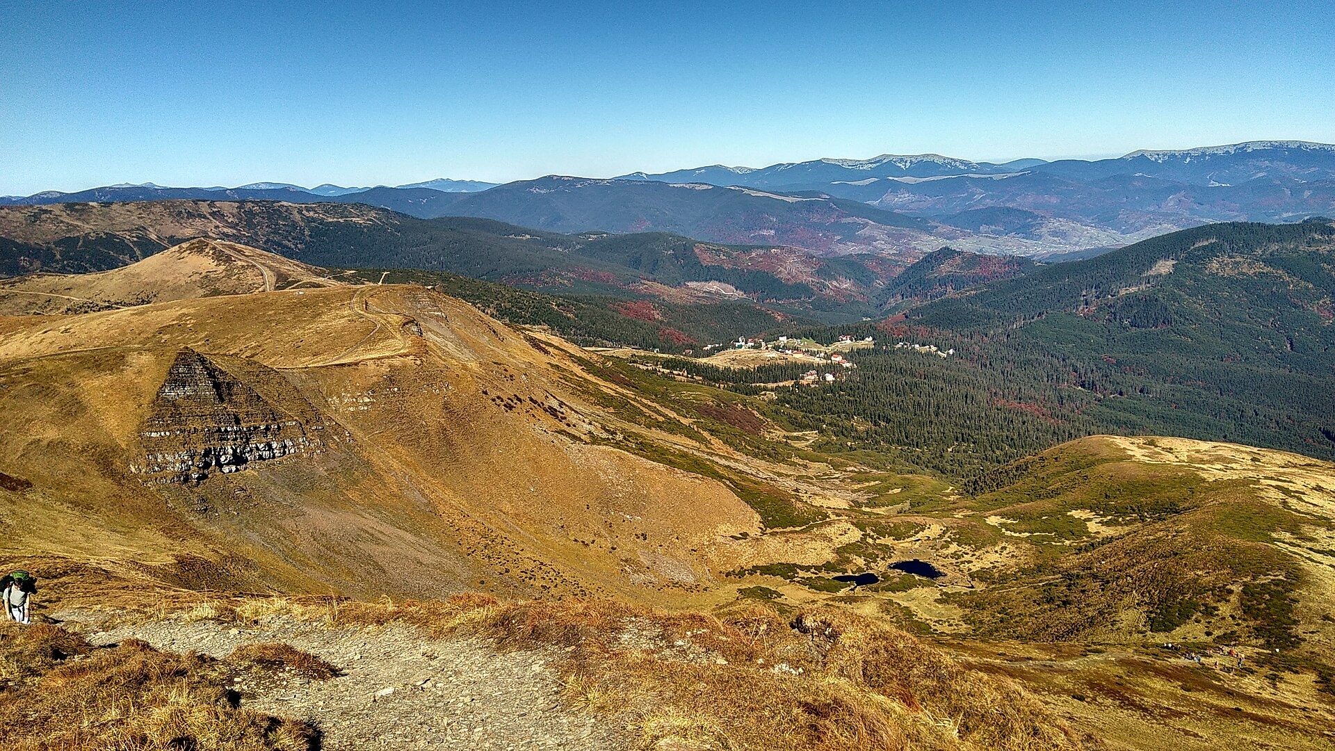
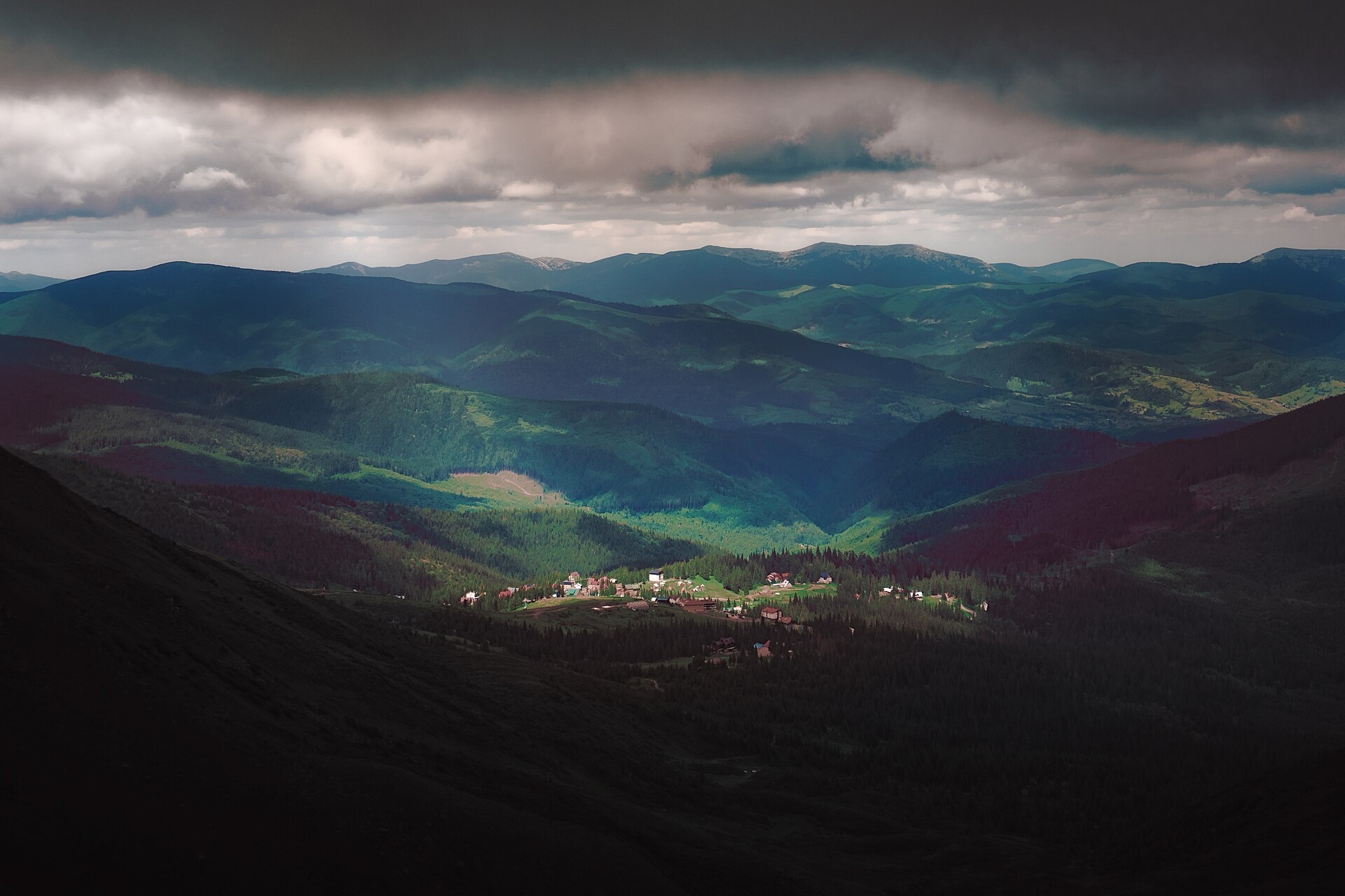
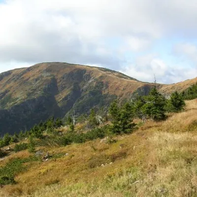
Drahobrat, also called the First Zhandarm, is a 1,763 m mountain on the Urdu-Flavantuch ridge in the eastern part of the Svydovets massif. It lies in the Rakhiv district of Zakarpattia Oblast, between the Chorna Tysa and Kosivska rivers. The eastern and western slopes are steep, the southern and northern ones gentler; conifer and beech forests grow up to 1,400 m, with mountain meadows above. Just over 1 km to the south rises the main summit of the massif, Blyznytsia (1,883 m); 2 km to the north is Stih (Drahobrat) (1,704 m). The well-known Drahobrat ski resort lies on the north-eastern slope. The nearest villages are Yasinia (11 km north-east), Trostianets and Kvasy (9 and 10 km south-east).
How to get there
The easiest start is the Drahobrat resort on the north-eastern slope of the mountain. Our routes cross the summit or pass right by it:
- Drahobrat — Mt Blyznytsia — Drahobrat, 7.1 km, about 640 m of ascent;
- Drahobrat — Mt Blyznytsia — Mt Stih — Drahobrat, 10.6 km;
- Yasinia — Drahobrat — Mt Blyznytsia — Kvasy, 21.6 km;
- Bilyn — Mt Blyznytsia — Mt Stih — Drahobrat, 26.5 km.
Popular longer traverses also cross the summit, for example «Along the Peaks of Svydovets» from Yasinia to Ust-Chorna.
Water, shelter and safety
Our map shows a spring about 1.5 km from the summit and shepherd huts on the Svydovets (about 1.4 km) and Urda (about 2.3 km) meadows. The mountain belongs to the Svydovets protected massif of the Carpathian Biosphere Reserve: stay on marked paths, follow the reserve rules and do not light fires outside permitted places. The treeless Svydovets ridge is exposed to wind and thunderstorms, and avalanches come down the slopes in winter. In an emergency call 112 or 101 — the mountain rescue units work around the clock.
Interesting facts
- The name «Drahobrat» is translated as «clearing» — a place where the forest has been cut.
- Several streams rise on the eastern slopes and join into the Svydovets stream, a tributary of the Chorna Tysa.
- Hoverla (2,061 m) lies about 22 km to the south-east.
Photos: Daniel Baránek, CC BY-SA 3.0; Jivolada, CC BY-SA 4.0; Zerrosasha, CC BY-SA 4.0 — Wikimedia Commons.
Location on the map
Comments
Places to stay nearby
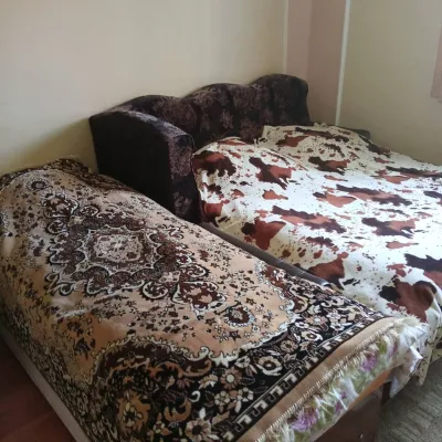
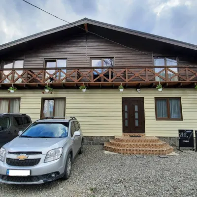 HotelCube (KUB)9.6 km from Mount Drahobrat (Zhandarm)BBQParkingWi‑FiNearby: Mt Sheshul 7.2 kmMt Bliznytsia 8.6 km44 trails
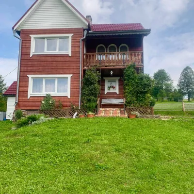
 CottageHomestead "U Ivanky"10 km from Mount Drahobrat (Zhandarm)KitchenWi‑FiNearby: Mt Sheshul 7.1 kmNyzhnyi Huk waterfall 9.2 km44 trails
 HomesteadGuest house "U Iryny"11 km from Mount Drahobrat (Zhandarm)Welcome to our cozy house located in the very heart of the Carpathians. This is the perfect place for those seeking solitude, harmony with nature, and to return home...Nearby: Strukivska Church 2.0 kmChurch of the Transfiguration 1.2 km40 trails
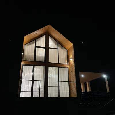 CottageArtMi15 km from Mount Drahobrat (Zhandarm)FireplaceKitchenParkingNearby: Church of the Transfiguration 2.8 kmStrukivska Church 5.7 km32 trails
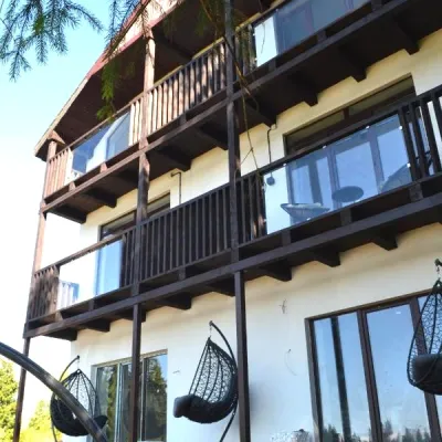 CottageApartments "Mayak". Cottage in the Carpathians with a view of the mountains19 km from Mount Drahobrat (Zhandarm)Hot tubBBQKitchenNearby: Mt Khomiak 6.2 kmPolonyna Khomyakov 6.9 km9 trails
 Cottage"Shchivky"20 km from Mount Drahobrat (Zhandarm)Living room (fold-out sofa, table with chairs, TV, balcony; kitchenette — electric kettle, sink); double room (double bed, wardrobe, TV, balcony);Nearby: Mt Sinyak 4.7 kmPerevernuty Khata 2.5 km18 trails
Trails nearby
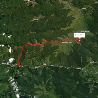 HardMulti-dayUnmarkedBilyn village to Dragobratvia Mount Blyznytsia, Mount StihElevation profile495–1 773 m26.5 kmascent 1 743 m≈ 10 h walkingunder 1 km from Mount Drahobrat (Zhandarm)
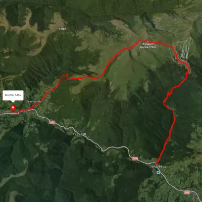 HardTwo-dayUnmarkedYasinia to Kvasy villagevia Dragobrat, Mount BlyznytsiaElevation profile544–1 853 m21.6 kmascent 1 357 m≈ 8 h walkingunder 1 km from Mount Drahobrat (Zhandarm)
 EasyOne-dayUnmarkedDragobrat loopvia Mount BlyznytsiaElevation profile1 534–1 876 m7.1 kmascent 636 m≈ 3 h walkingunder 1 km from Mount Drahobrat (Zhandarm)
Nearby attractions
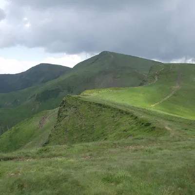 PeakMount Bliznytsiaaltitude 1 883 m · Svydovets range1.1 km from Mount Drahobrat (Zhandarm)52 trails to the topBlyznytsia (also called Bliznytsia, Blyzhnytsia) are two mountains of the Ukrainian Carpathians, located in the eastern part of the Svydovets mountain range.
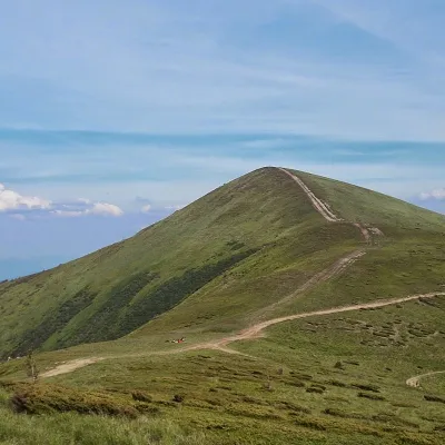 PeakMount Stih (Dragobrat)altitude 1 704 m · Svydovets range2.1 km from Mount Drahobrat (Zhandarm)43 trails to the topStig (locally known as Stug) is a peak of the Ukrainian Carpathians, located in the Rakhiv district of Zakarpattia region in the northeastern part of the Svydovets...
 PeakMount Velykyi Kotelaltitude 1 771 m · Svydovets range4.7 km from Mount Drahobrat (Zhandarm)39 trails to the topMount Velykyi Kotel is the peak of the Ukrainian Carpathians, which lies within the Svydovets mountain range.