Mount Stig (Dragobrat)
Stig (locally known as Stug) is a peak of the Ukrainian Carpathians, located in the Rakhiv district of Zakarpattia region in the northeastern part of the Svydovets mountain range.
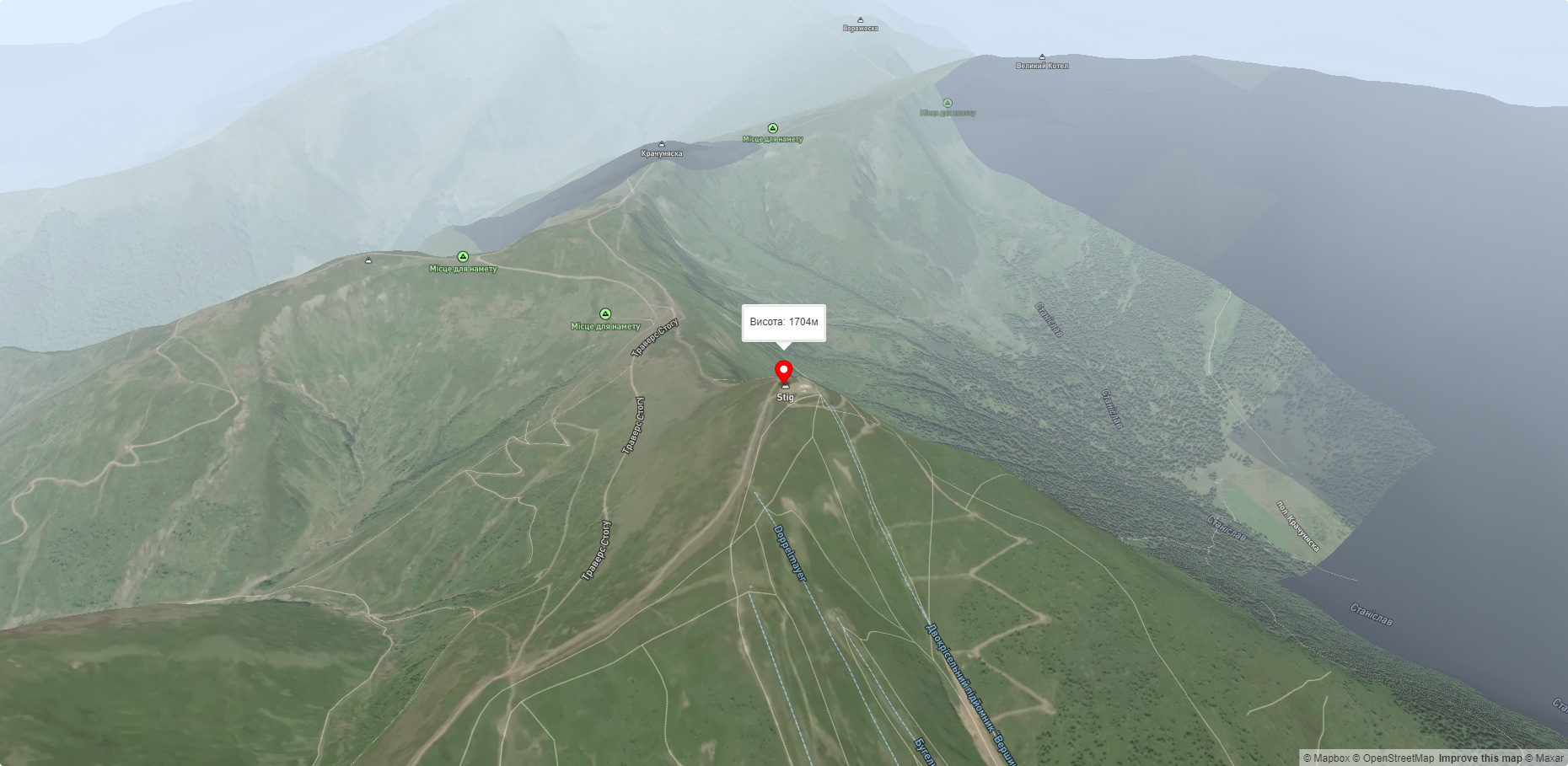
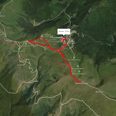
The height of the mountain is 1704 meters (according to other information - 1707 m).
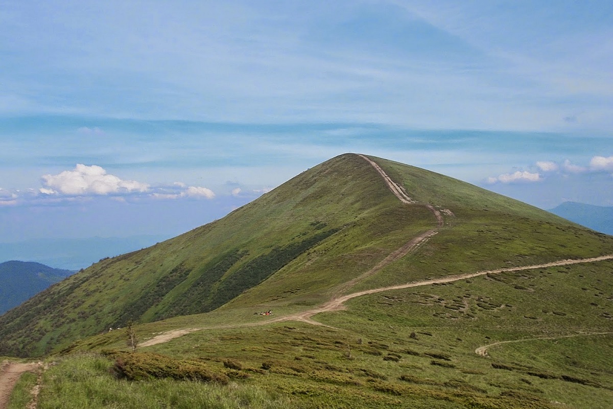
The slopes of Mount Stih in the northwestern direction are very steep and inaccessible, while in the eastern and western directions they are more gentle. The top of the mountain and its summit part are covered with meadows.
On the southern side of the Stog is a bridge that connects to Mount Blyznytsia. To the northwest of the peak is Mount Velykyi Kotel, and to the east is the popular Dragobrat ski resort.
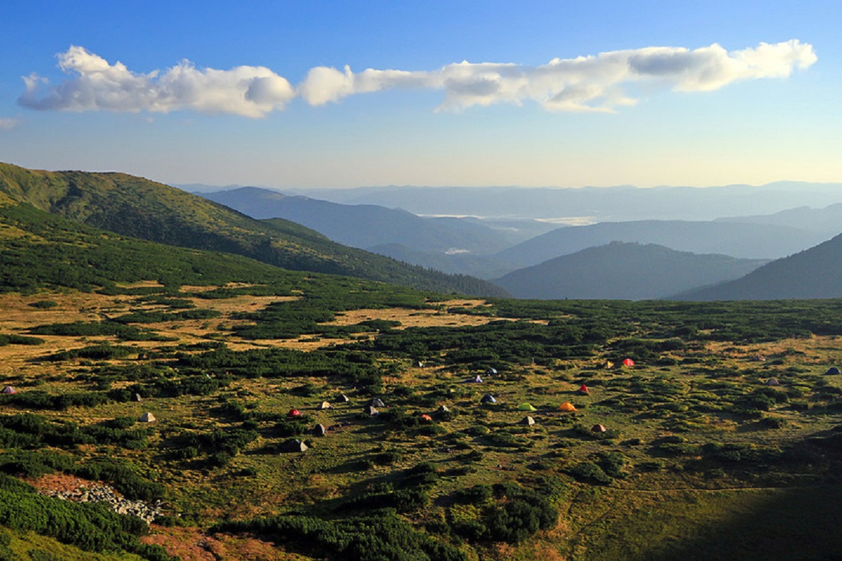
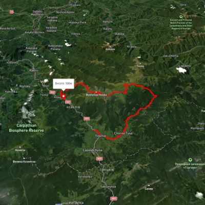
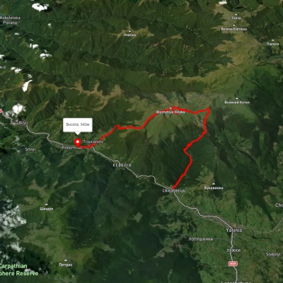
It is worth noting that the popular route "Over the Peaks of Svydovets" stretches across Mount Stig, which leads from the village of Ust-Chorna to the village of Yasinia (or in the opposite direction).
The nearest settlement is Yasinia (Rakhiv district, Zakarpattia region).
Accommodation around Mount Stig (Dragobrat):


Nearby hiking trails near Mount Stig (Dragobrat):
Which trails pass by Mount Stig (Dragobrat)?
We suggest these hiking trails through or near Mount Stig (Dragobrat): Yasinia, via Mount Tataruka, Mount Dohiaska, Mount Stih and Mount Blyznytsia to Kvasy village, Yasinia, via Dragobrat, Mount Blyznytsia and Lake Ivor to Kvasy village, Dragobrat, via Mount Blyznytsia and Mount Stih to Dragobrat, Yasinia, via Mount Stih, Mount Troiaska and Mount Pidpula to Lopukhiv village, Transcarpathian Tourist Trail, Kvasy village, via Mount Blyznytsia, Mount Stih, Mount Velykyi Kotel and Chorna Tysa village to Yasinia