Hryniava Mountains
Гринявські гори
Hryniava Mountains is a mountain range in the Outer Eastern Carpathians. It lies in Ukraine. Elevation ranges from 586 to 1,556 m over about 654 km².
- Elevation
- 586–1,556 m
- Area
- ≈ 654 km²
- Countries
- Ukraine
- Part of
- Outer Eastern Carpathians
On the map
Waymarked trails · 17
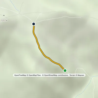 EasyOne-dayMarkedHungarian RocksElevation profile1 175–1 258 m0.6 kmascent 56 m≈ 15 min walking
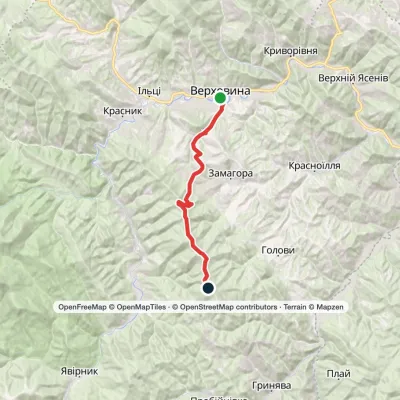 ModerateTwo-dayVerkhovyna Krynta-Skupova ridgeElevation profile601–1 422 m18.7 kmascent 906 m≈ 6.5 h walking
 HardTwo-dayKrasnyk village to Zelene villagevia the Krynta–Skupova ridgeElevation profile675–1 398 m23.1 kmascent 873 m≈ 7.5 h walking
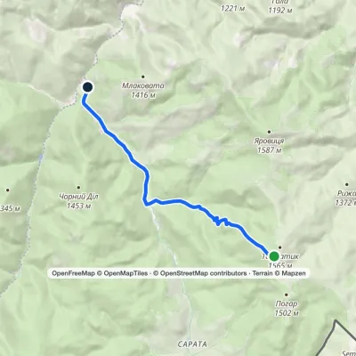 EasyOne-dayMarkedPerkalaba Mount TomnatykElevation profile957–1 542 m8.7 kmascent 9 m≈ 2 h walking
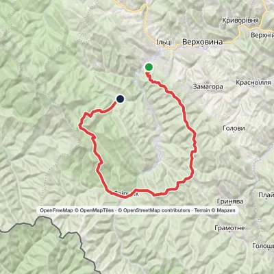 HardMulti-dayKrasnyk village to Dzembronia villagevia Mount Krynta, Mount Zmiinska +3Elevation profile744–1 814 m48.9 kmascent 2 442 m
 HardMulti-dayZelene village to Verkhovynavia Mount SkupovaElevation profile601–1 577 m32.7 kmascent 987 m≈ 10 h walking
 HardMulti-dayMarkedShepit village to Shybene villagevia Mount Yarovytsia, Mount Pnivie +1Elevation profile849–1 599 m73.4 kmascent 2 306 m
 ModerateTwo-dayMarkedShepit village Mount YarovytsiaElevation profile858–1 568 m20.8 kmascent 864 m≈ 7 h walking
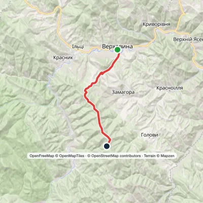 ModerateTwo-dayVerkhovyna Mount SkupovaElevation profile601–1 399 m15.3 kmascent 904 m≈ 5.5 h walking
Peaks
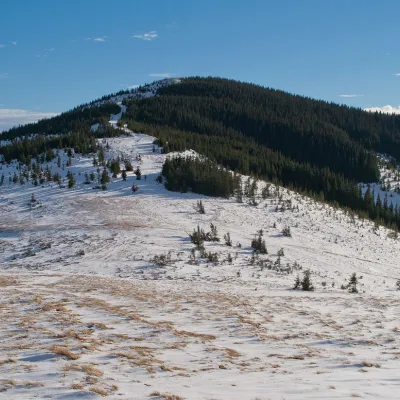 PeakMount SkupovaZelenealtitude 1 579 m · Hryniava Mountains range3 trails to the topMount Skupova is the peak of the Ukrainian Carpathians, which is located in the Hryniava mountain range.
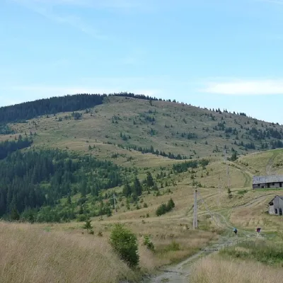 PeakMount YarovytsiaVerkhnyi Yalovetsaltitude 1 566 m8 trails to the topYarovytsia is the peak of the Yalovychora Mountains in the Ukrainian Carpathians, located on the Yarovets Ridge ,...
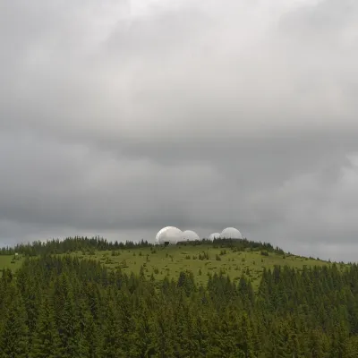 Mountain meadowMount Tomnatyk (Yalovychory)Sarataaltitude 1 565 m · Borzhava rangeTomnatyk is a 1,565 m mountain in the Yalovychory Mountains, on the Tomnatykul ridge.
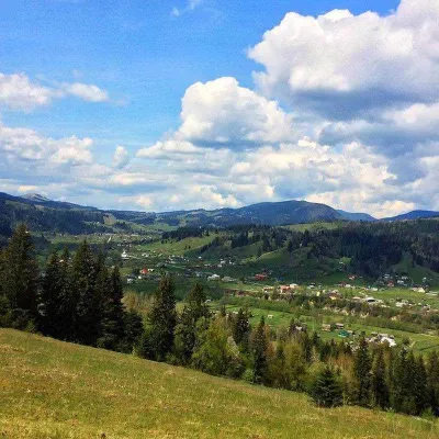 PeakMount RoztickaZelenealtitude 1 514 m · Hryniava Mountains range2 trails to the topRoztitska (also known by other names - Roztitska, Rostytska, Rostitska) is a peak in the Ukrainian Carpathians, which...
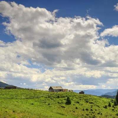 Mountain meadowPolonyna Krinta (Krenta)Iltsialtitude 1 300 m · Hryniava Mountains range"Polonyna Krynta is a place where you can taste the authentic taste of Hutsul cheese, various museums, rafting on the...
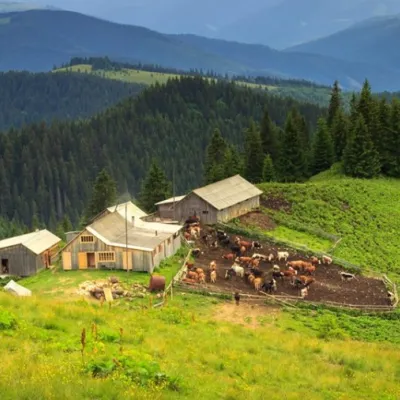 Mountain meadowPolonyna SkupovaSenkivskealtitude 950 m · Hryniava Mountains rangeSkupova meadow - Verkhovyna district, Ivano-Frankivsk region. The owner of the meadow: Ivan Nedokhodyuk.
What to see
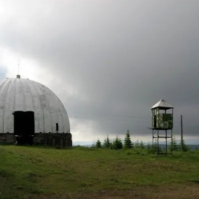 Historic siteCarpathian Pamir, SarataSarataFrom the 1960s until the mid-1990s, a secret radar station operated on one of the highest peaks of the Bukovyna...
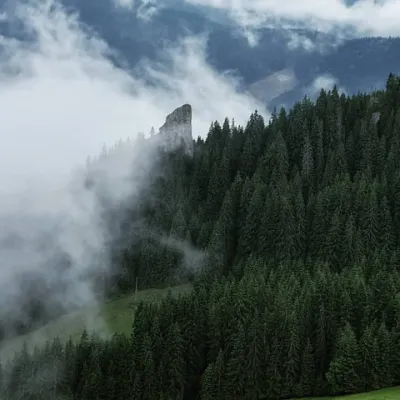 NatureHungarian stones (Hungarian rocks), GreenZeleneThe Hungarian Rocks or Hungarian Stones are an array of four huge vertical rocks in the middle of the forest, which...
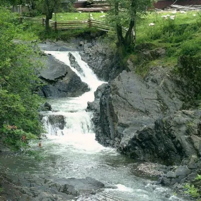 WaterfallCascading waterfall "Suceava Hook"Dolishnii ShepitThe cascade of waterfalls "Suceava Hook" is a unique natural monument of the Chernivtsi region.
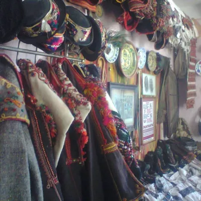 MuseumHutsulshchyna Museum in YablunytsiaYablunytsiaWork on the creation of the museum began in the 1970s. In April 1991, according to a report from the Verkhovyna...
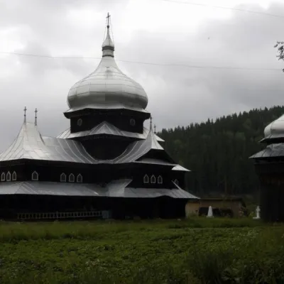 ChurchChurch of St. Elijah, ShepitPutyla districtElias Church, is located in the village of Shepit in the middle of the Bukovinian Carpathians.
Huts and shelters · 33
AllHut on Polonyna HermanivkaHut on Polonyna RotundulHut on Polonyna BraikalivkaHut on Maksymets ridgeHut on Polonyna TanasovaHut on Polonyna BubenkaHut on Polonyna KosovanivkaMountain shelter “Grandpa's Estate”Woodcarver's HouseMountain shelter “Rozvylka”Hut below Mount Bubenska (2)Picnic shelter (Dolishnii Shepit)Picnic shelter (Kryvorivnia)Picnic shelter (Iltsi)Weather shelter (Roztoky)Picnic shelter below Mount BubenskaWeather shelter below Mount BubenskaWeather shelter (Serhii)
Springs · 54
AllPalii's WellFranko's WellSpring below Mount Bila Kobyla (5)Spring (Bukovets, 4)Spring (Volova, 12)Spring below Mount Bila Kobyla (7)Drinking water (Krasnyk, 2)Spring (Iltsi, 4)Spring (Roztoky, 2)Spring (Kryvorivnia, 5)Spring below Mount Bila Kobyla (3)Spring below Mount Bila Kobyla (2)Spring (Kryvorivnia, 2)Spring below Mount Bila Kobyla (8)Spring below Mount Bila Kobyla (4)Spring below Mount Bubenska (5)Spring below Mount Rotylo (3)Spring (Kryvorivnia, 4)
© EEA (CC BY 4.0) · GMBA Mountain Inventory v2 (CC BY 4.0) · © OpenStreetMap contributors (ODbL)
