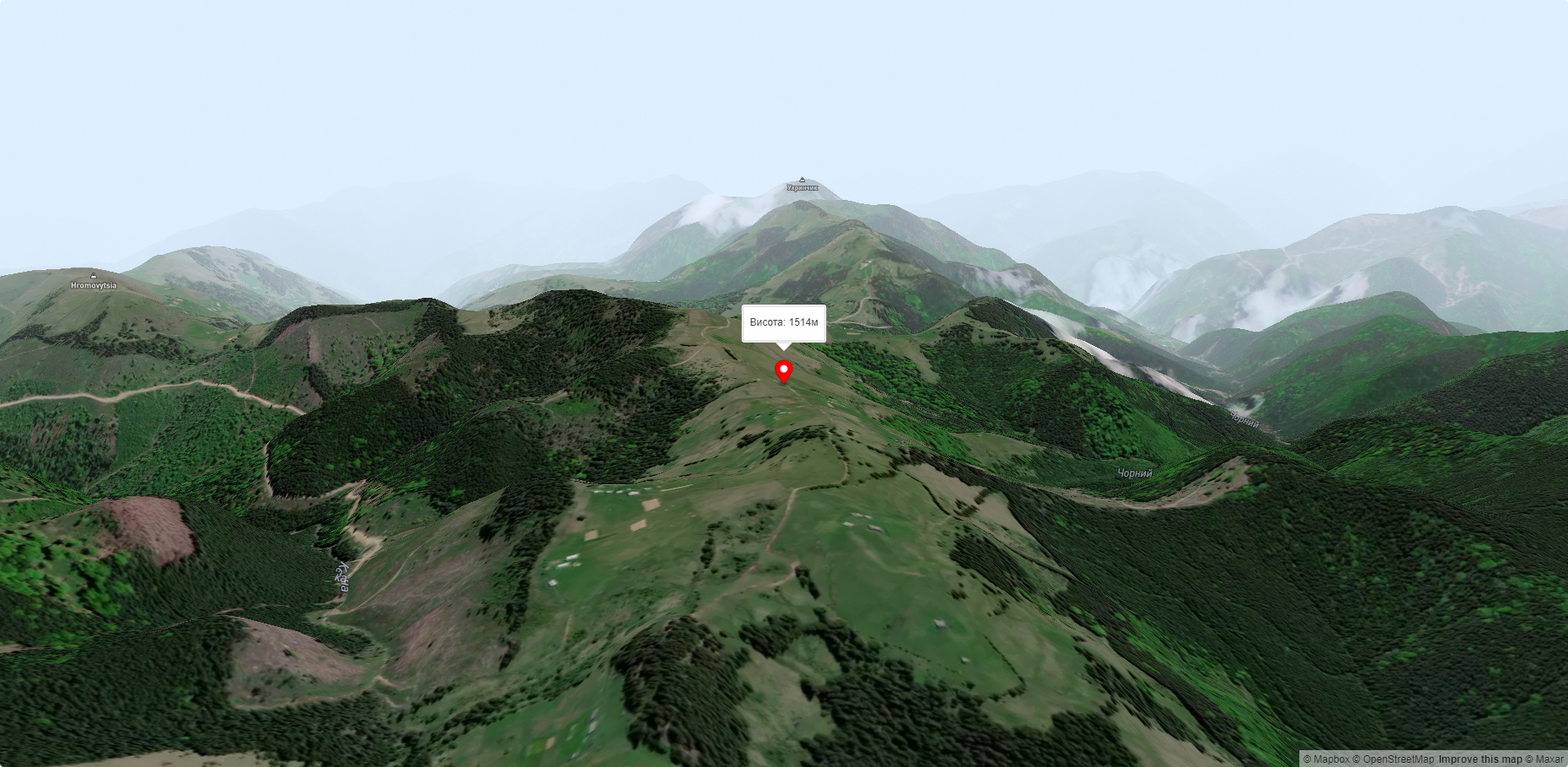
Mount Rozticka
Roztitska (also known by other names - Roztitska, Rostytska, Rostitska) is a peak in the Ukrainian Carpathians, which is located within the Hryniava Mountains. The mountain is located in the Verkhovyna district of Ivano-Frankivsk region, in the northeastern direction from the village of Zelene.
The height of the peak is 1514 meters (according to other information - 1513 m).
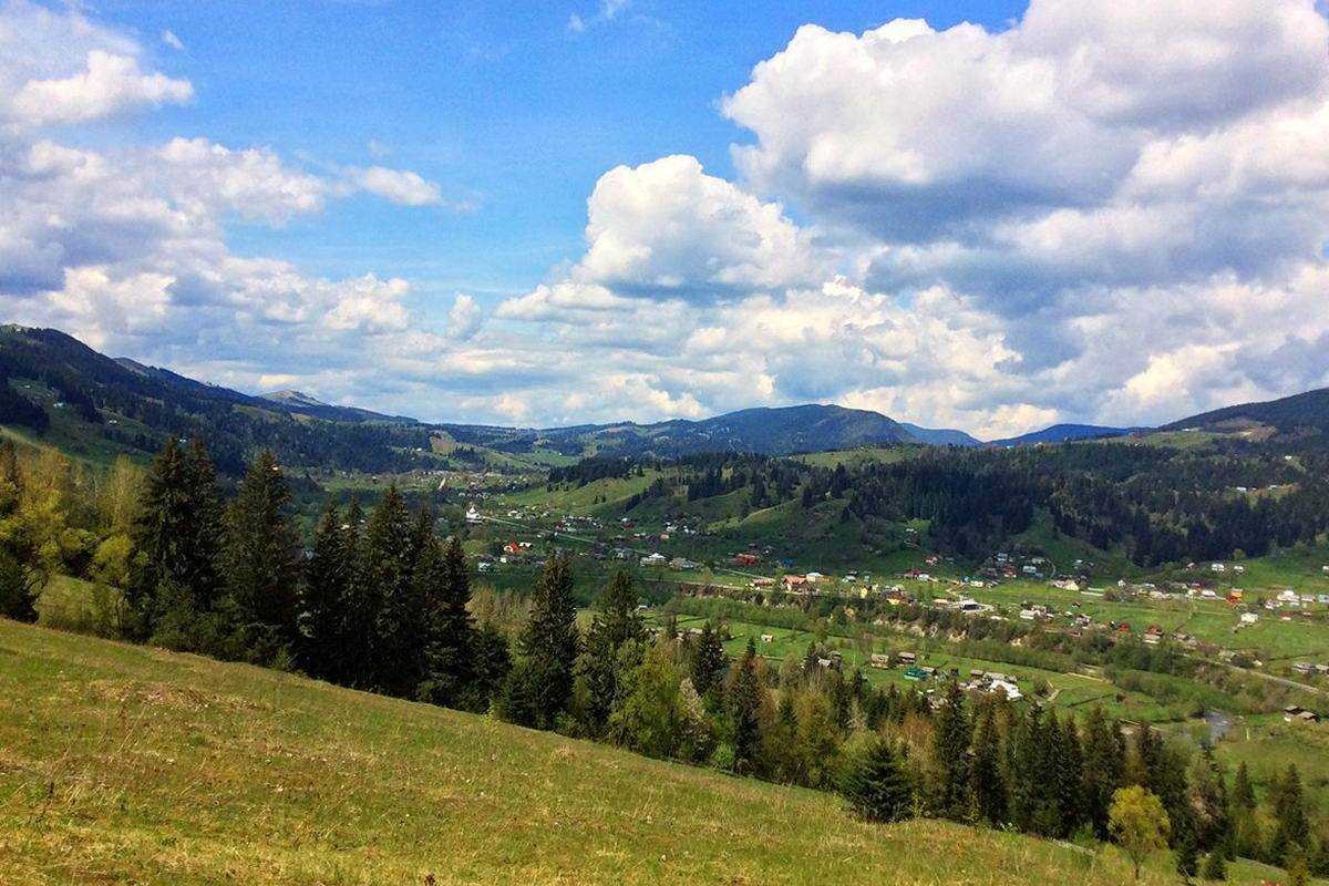
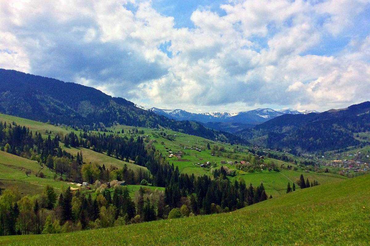
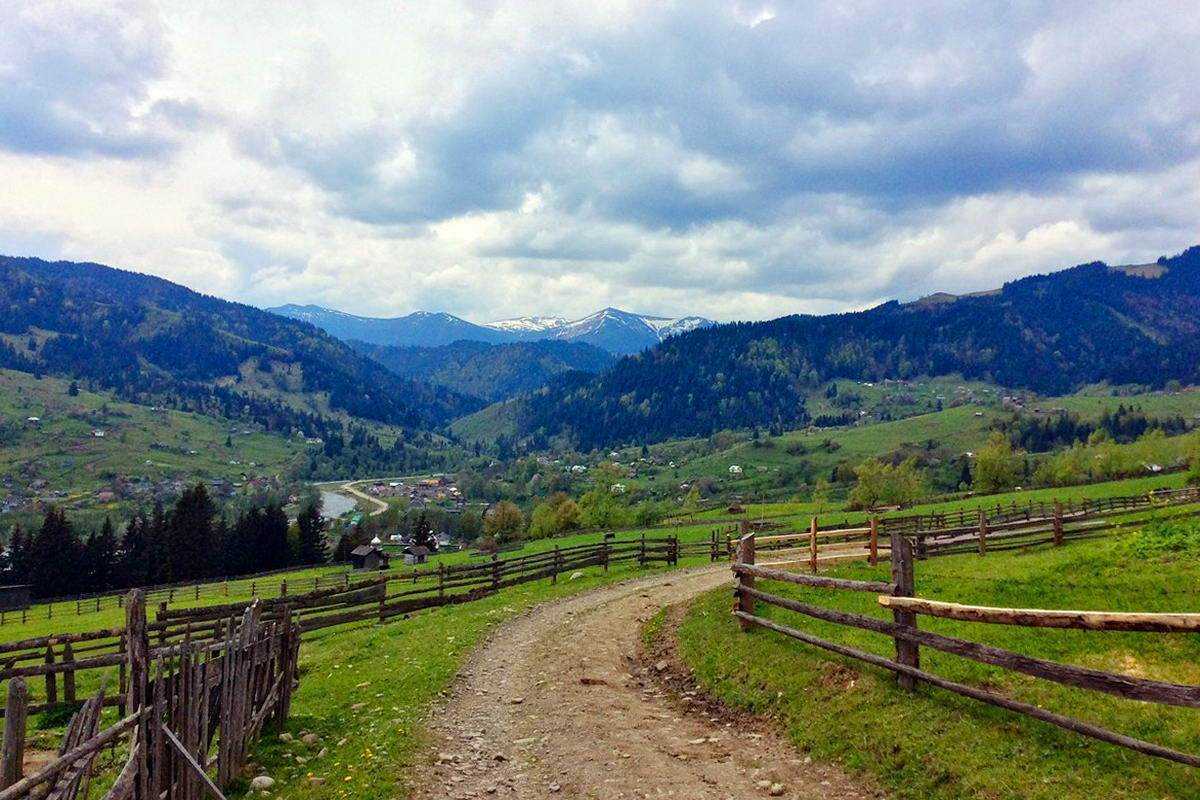
The foot of Mount Roztitska and its slopes up to 1300-1350 meters are covered with dense forests, and above this mark - with vast meadows. The slopes themselves are very steep and inaccessible, especially the southern and northern ones.
To the southeast of Mount Roztitska is Mount Skupova, to the north is Mount Zmiyinska, to the west, beyond the valley of the Black Cheremosh River, you can see the southeastern spurs of the Chornohora mountain range with Mt . Smotrych and Pip Ivan Chornohirsky.
The nearest settlement is the village of Zelene (Verkhovyna district, Ivano-Frankivsk region).
Accommodation around Mount Rozticka:


Nearby hiking trails near Mount Rozticka:
Which trails pass by Mount Rozticka?
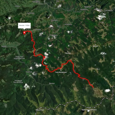
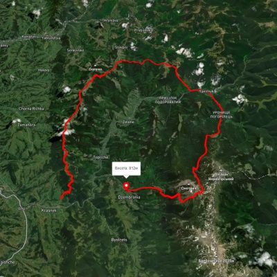
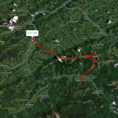
We suggest these hiking trails through or near Mount Rozticka: Mount Chyvchyn, via the Pnivie ridge, the Vatunarka ridge and Mount Baba-Liudova to Stovpni Horishni village, Krasnyk village, via Mount Krynta, Mount Zmiinska, Shybene village, Vesnarka polonyna and Lake Maricheika to Dzembronia village, Zelene village, via Mount Skupova to Verkhovyna, Zelene – Mount Skupova, Hungarian Rocks, Verkhovyna – Krynta-Skupova ridge