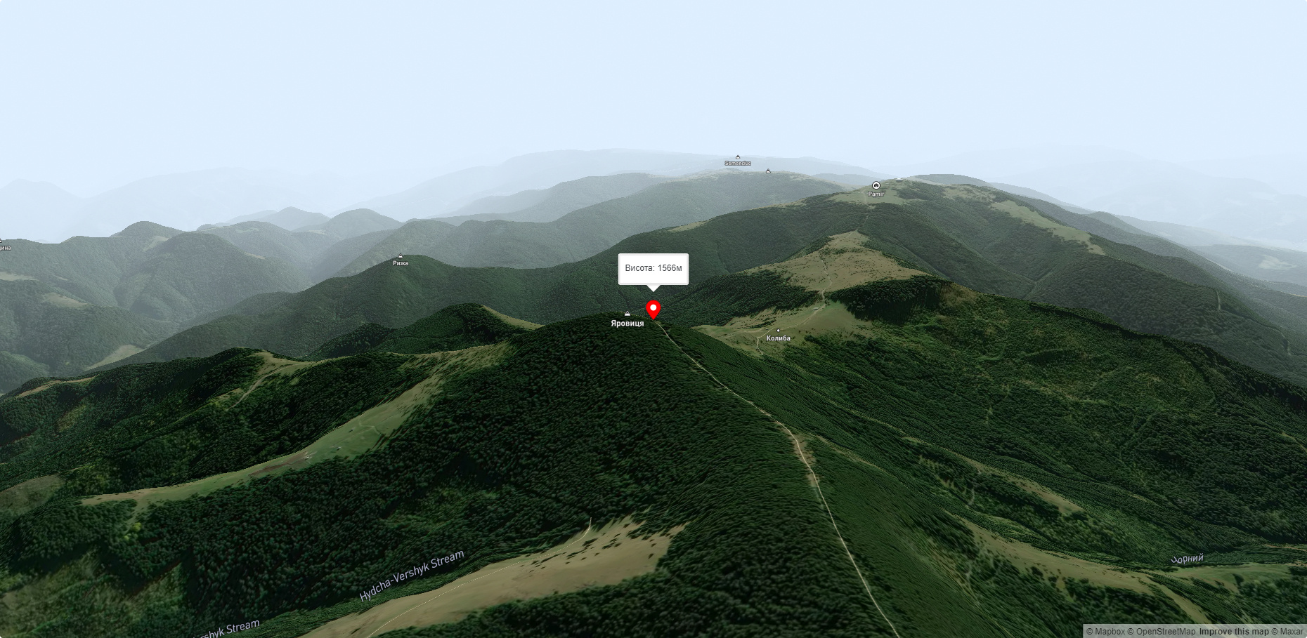
Mount Yarovytsia
Yarovytsia is the peak of the Yalovychora Mountains in the Ukrainian Carpathians, located on the Yarovets Ridge , which is one of the southernmost ridges of the Ukrainian Carpathians and stretches from northwest to southeast between the White Cheremosh and the upper reaches of the Suceava. The mountain is located in the southern part of Putyla district of Chernivtsi region, southwest of the village of Verkhniy Yalovets. The mountain consists of flysch, dominated by sandstones. The locals call it Pip Ivan.
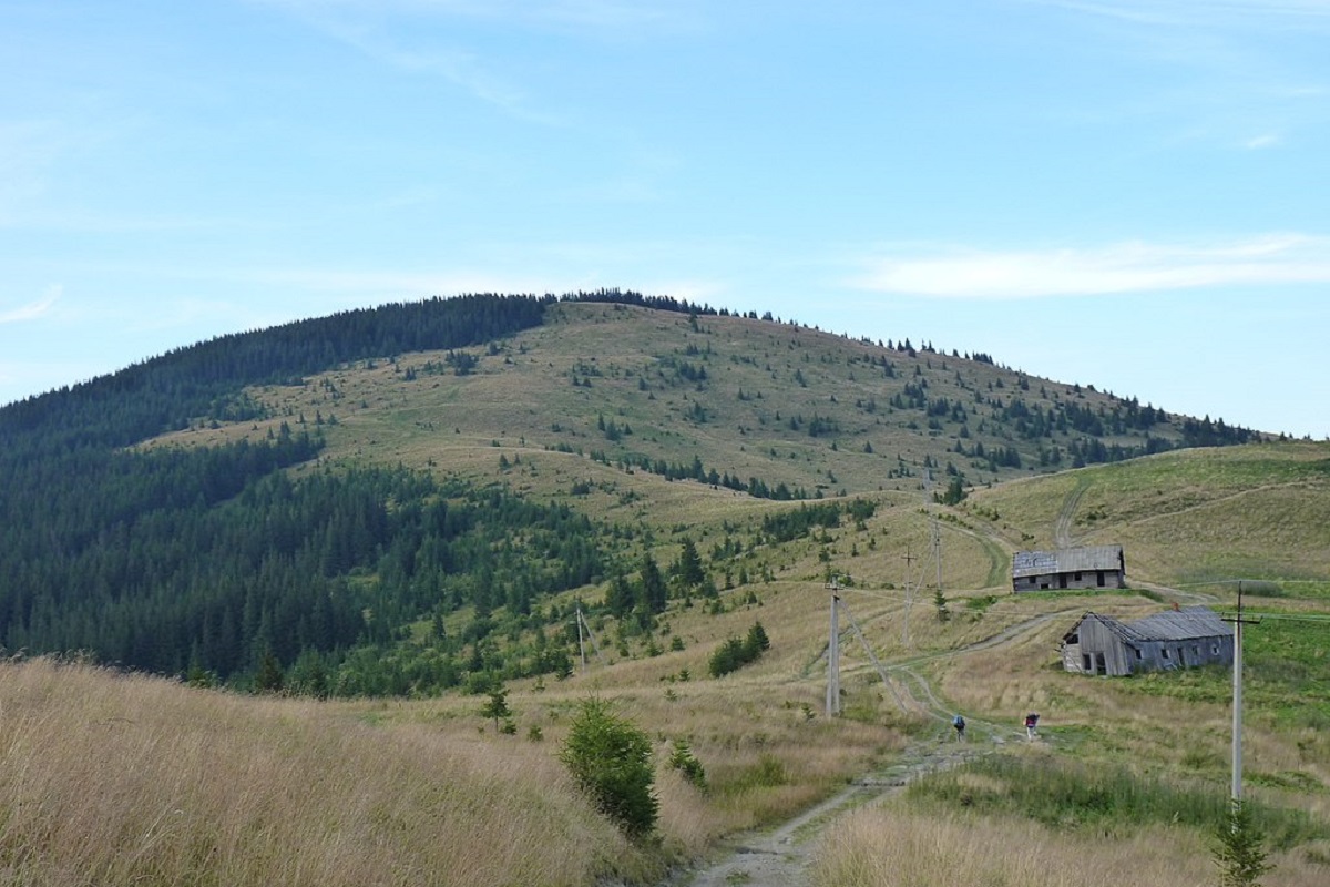
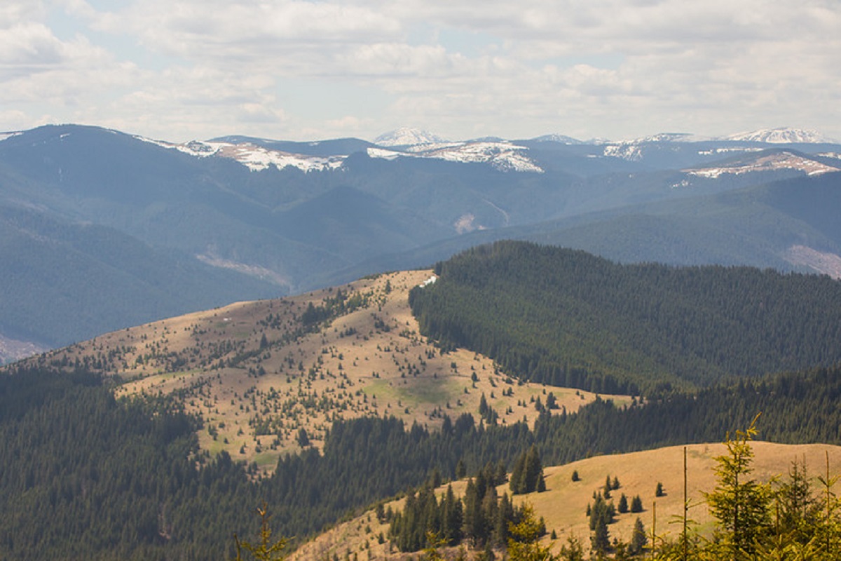
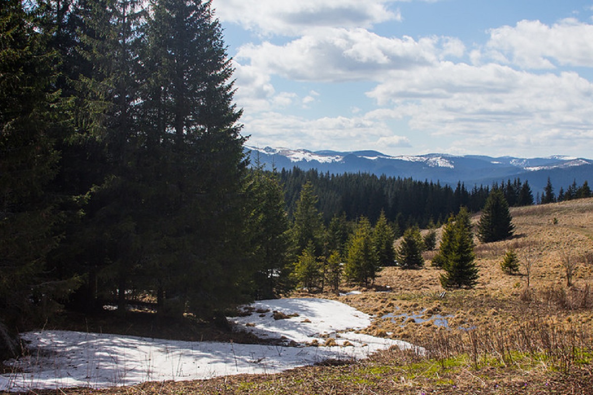
The height of the mountain is 1566 meters (according to other information - 1587 and 1574 meters). Yarovytsia is the highest mountain in the Chernivtsi region (1586.9 m). The mountain is covered with spruce forests, and above the forests there is a crooked forest of mountain pine (fir) and Siberian juniper. The peak and its foothills are crowned with a 3-meter high metal cross, has an oval shape and stretches from east to northwest, where it is connected to other peaks of the Yarovets ridge by a gentle bridge. The northern and southern slopes of the mountain are very steep. part of it is unforested - there are meadows here.
Yarovitsa is oval in shape and stretches from northwest to east. The slopes of the mountain, especially the southern and northern ones, are very steep. The summit part and the peak itself are treeless, covered with grass vegetation. In the upper part of the mountain there are whole glades of healing arnica. In winter, Mount Yarovytsia is an avalanche hazard and almost impassable for vehicles. The highest mountain of Bukovyna, Yarovytsia, attracts many tourists from different parts of our country, as well as from far and near abroad, thanks to its picturesque views, fresh air, steep ascents and descents. A memorial cross and a memorial plaque commemorating the 80th anniversary of the Bukovynian Veche are installed at the foot of the peak.
It is part of the Cheremosh National Nature Park. In the northwestern direction, Mount Yarovytsia is connected to other peaks of the Yarovets ridge. To the south, not far from Yarovytsia, there is the Tomnatyk ridge, where its highest peak, Mount Tomnatyk, can be seen.
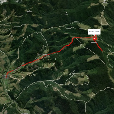
The nearest settlement is the village of Verkhniy Yalovets in the Putyla district of Chernivtsi region.
Accommodation around Mount Yarovytsia:


Nearby hiking trails near Mount Yarovytsia:
Які маршрути проходять повз Mount Yarovytsia?
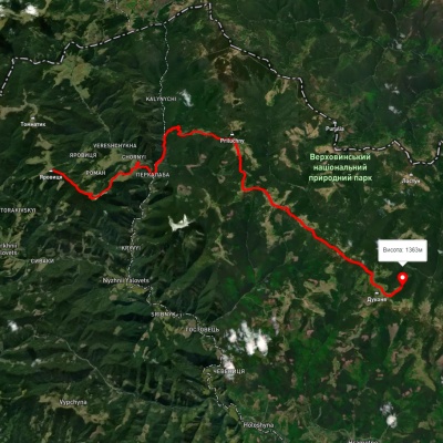
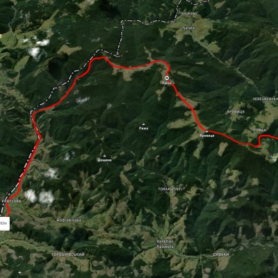
Пропонуємо пройти такі туристичні (пішохідні) маршрути через/біля Mount Yarovytsia: с. Верхній Яловець – г. Яровиця, г. Яровиця, через хр. Прилучний, г. Пнів'є до Свято-Троїцького Монастира, с. Нижній Яловець, через г. Яровиця до с. Шипіт, с. Шепіт, через г. Яровиця, г. Пнів'є, г. Тарниця до с. Пробійнівка, с. Шепіт, через г. Яровиця, г. Пнів'є, г. Масний Присліп до с. Шибене, с. Шепіт – г. Яровиця