Verkhnyi Yalovets
Vyzhnytsia district · Chernivtsi region
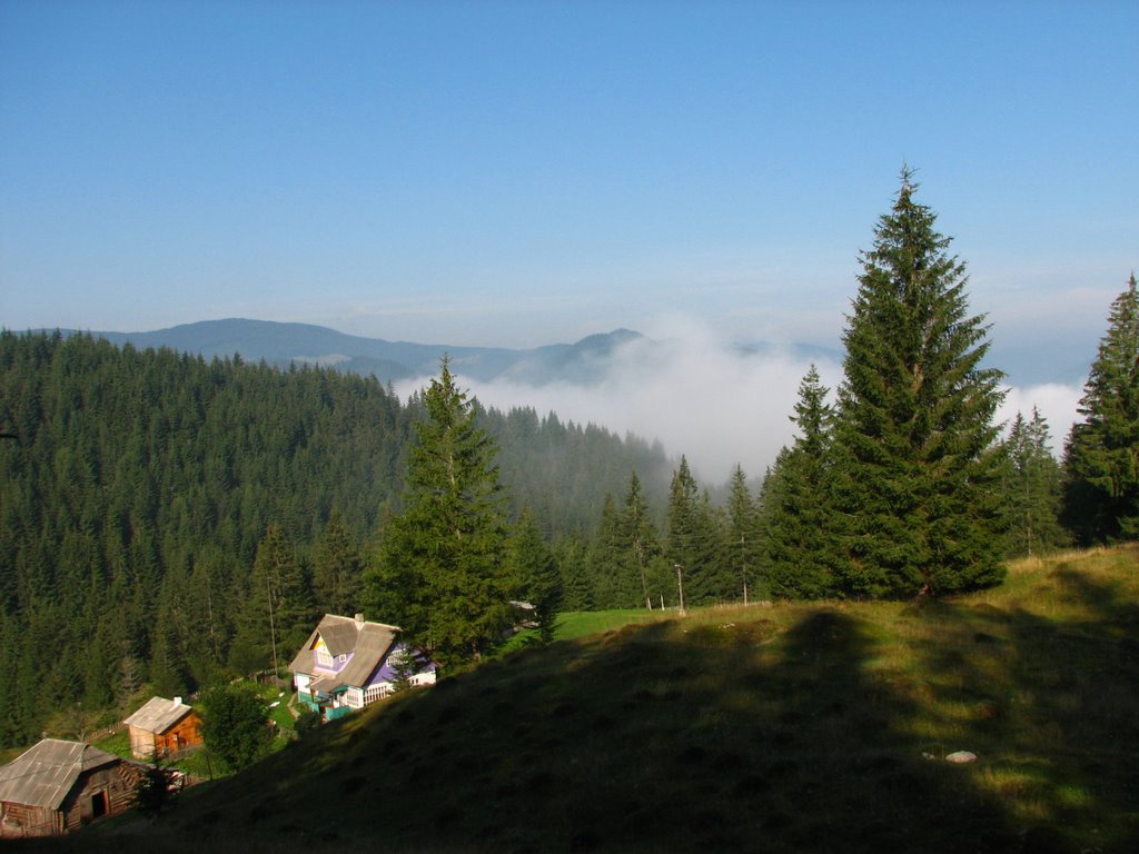
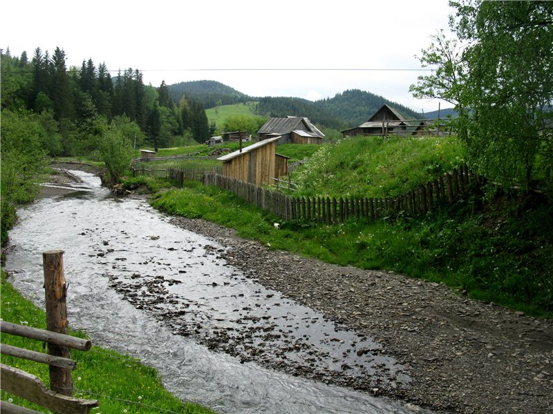
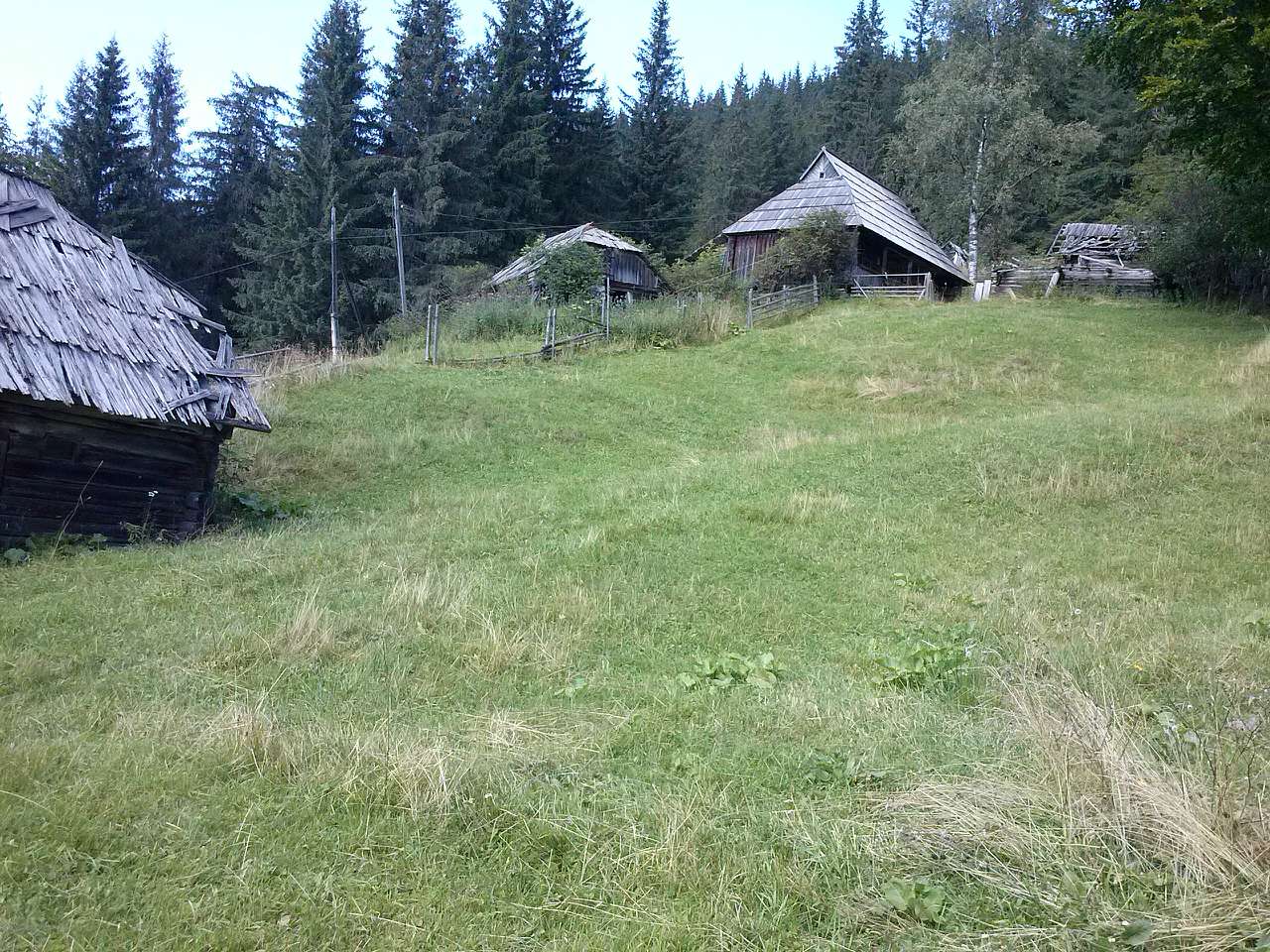
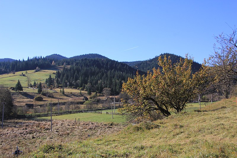
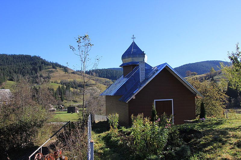
Verkhniy Yalovets is a village in the Chernivtsi region, Putyla district, Ukraine. To the east of the village is the Dzhohil Pass. In the village, the Tornykivskyi stream flows into the Yalovychera river. Population (according to the last census): 218 people. Distance to Chernivtsi city: 150 km. Traditional folk crafts: wood carving, artistic embroidery, weaving.
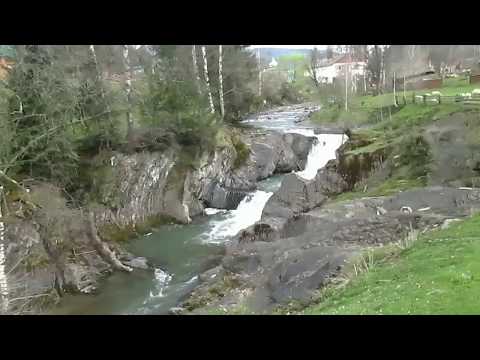
The descent from the Dzhogol Pass is even more terrible than the ascent. Gravel and large piles of stones, especially in rainy weather, make the descent very dangerous. After descending from the pass, you will find yourself in the small village of Verkhniy Yalovets. The road is crossed every hundred meters by the Yalovychora River. The bridges are not designed for cars, but if you are careful, you can cross each of them.
In the center of Verkhnii Yalovets there are some hints of civilization: a shop and a small church (strangely, not a wooden one). There is also an equipped place for tourists to rest with benches and a spring cultivated by a wooden structure. Next is Nyzhnii Yalovets.
Not far from the confluence of two mountain rivers is the real pearl of the Bukovyna Carpathians - Mountain Eye.
Lake Mountain Eye (another name - Bukovynian Eye ) lies one kilometer east of the center of the village of Nyzhniy Yalovets on the slope of Mount Dvorelets. Located at an altitude of 1028 meters above sea level, the lake really resembles a big eye. Mountain Eye can be safely called the "Bukovinian Synevyr".
Indeed, the height of its location and the fir trees surrounding it with a green wall make it a kind of copy of the famous Carpathian high-mountain lake Synevyr, which is inferior to it only in area. The nature of the lake's origin is currently unknown. At least, this is what a few tourist sources say.
A small stream flows out of the lake and into the Yalovychora. The stream is separated from the lake by a dam, which may be an indication that the Bukovynian Eye is of artificial origin. The lake can be reached on foot or by off-road vehicle on a dirt road that rises along the stream.
What to visit
Landmarks, museums and places of interest near Verkhnyi Yalovets.
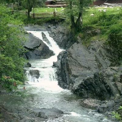 WaterfallCascading waterfall "Suceava Hook"Dolishnii Shepit6.2 km from the centreThe cascade of waterfalls "Suceava Hook" is a unique natural monument of the Chernivtsi region. It is located on the Suceava River.
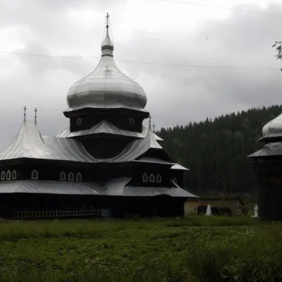 ChurchChurch of St. Elijah, ShepitPutyla district6.2 km from the centreElias Church, is located in the village of Shepit in the middle of the Bukovinian Carpathians. The church is unique in its combination of established traditions of...
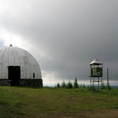 Historic siteCarpathian Pamir, SarataSarata7.6 km from the centreFrom the 1960s until the mid-1990s, a secret radar station operated on one of the highest peaks of the Bukovyna Carpathians, Mount Tomnatyk.
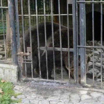 MuseumAviary of Selyatyn forestry, SelyatynSeliatyn10 km from the centreThe animal enclosure is located on the territory of the Selyatyn forestry in Chernivtsi Oblast, covering an area of 3.8 hectares.
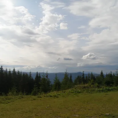 NatureBlack Dil Nature Reserve SarataSarata10 km from the centreChornyi Dil is a landscape reserve of national importance in Ukraine. It is located west of the village of Sarata, Putyla district, Chernivtsi region, in the...
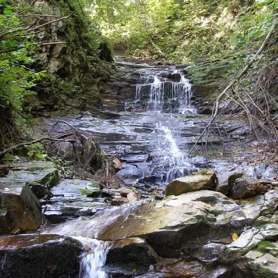 WaterfallChemernarsky waterfall Lower HookDolishnii Shepit25 km from the centreThe Chemernarsky Lower Hook Waterfall (also known as Lower Shepit) is located in Dolishnyi Shepit, in the western Ukraine, Chernivtsi region.
Where to stay
Hotels, guesthouses and cottages in and around Verkhnyi Yalovets.
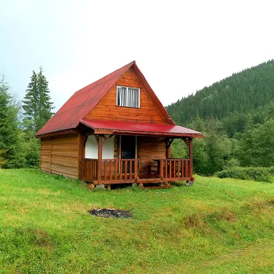 HomesteadHomestead "Sheptychanka" ShepitShepit6.3 km from the centreSaunaBBQKitchenNearby: Church of St. Elijah 200 mMt Yarovytsia 9.3 km2 trails
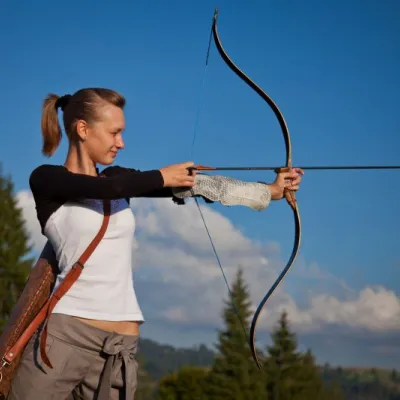 HotelEco-Resort "Khutir Tykhyi" SerhiiSerhii14 km from the centrePoolSaunaSPANearby: St. Nicholas Church 7.4 kmAviary of Selyatyn forestry 8.6 km
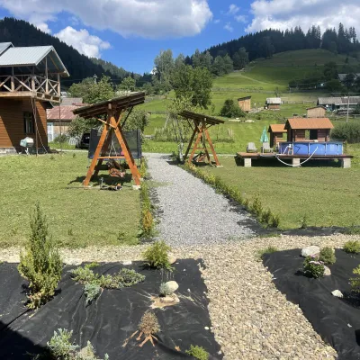 HotelVilla Karpatska BulbonaMyhove17 km from the centreVilla Karpatska Bulbona is located in the picturesque heart of the Carpathians in the village of Serhii, Vyzhnytsia district, Chernivtsi region.Nearby: St. Nicholas Church 3.9 km
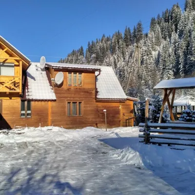 HomesteadHomestead "Pid Skelyu" MykulychynPutyla20 km from the centreSaunaBBQKitchenNearby: St. Nicholas Church 200 mWaterfall Kizya 9.4 km
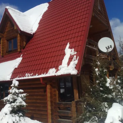 HomesteadChalet in the Carpathians "Lostun"Myhove27 km from the centreBreakfastFireplaceKitchenNearby: Chemernarsky Hook waterfall 2.1 km
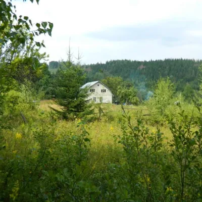 HomesteadEcofarm BukovaBanyliv-Pidhirnyi36 km from the centreBudget vacation in the Bukovinian Carpathians with respect for Nature. Ecofarm Bukova offers a cozy stay in the hamlet of Koshuy, Chernivtsi region in an agro...
Trails nearby
All trails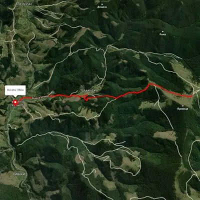 EasyOne-dayMarkedVerkhnii Yalovets village Mount YarovytsiaElevation profile975–1 431 m6.1 kmascent 233 m≈ 2 h walkingunder 1 km from the centre
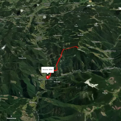 EasyOne-dayMarkedNyzhnii Yalovets village Yarovytsia ridgeElevation profile869–1 468 m6.4 kmascent 377 m≈ 2.5 h walking4.5 km from the centre
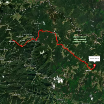 HardMulti-dayUnmarkedMount Yarovytsia to the Holy Trinity Monasteryvia the Pryluchnyi ridge, Mount PnivieElevation profile969–1 642 m32.5 kmascent 1 478 m≈ 11 h walking5.1 km from the centre
Peaks nearby
All peaks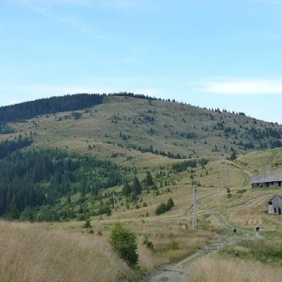 PeakMount YarovytsiaVerkhnyi Yalovetsaltitude 1 566 m5.2 km from the centre8 trails to the topYarovytsia is the peak of the Yalovychora Mountains in the Ukrainian Carpathians, located on the Yarovets Ridge , which is one of the southernmost ridges of the...
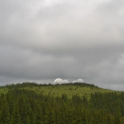 PeakMount Tomnatyk (Yalovychory)Sarataaltitude 1 565 m · Borzhava range7.6 km from the centreTomnatyk is a 1,565 m mountain in the Yalovychory Mountains, on the Tomnatykul ridge. It lies in the Vyzhnytsia district of Chernivtsi Oblast, north-east of the...
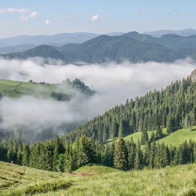 PeakMount PryluchnaNyzhnyi Yalovetsaltitude 1 646 m · Chyvchyny range14 km from the centreMount Pryluchna is a 1,646-meter peak in the Ukrainian Carpathians. It is located on the border of two ranges - the Chyvchyn Mountains(Marmarosh mountain range) and...
What's nearby
Video