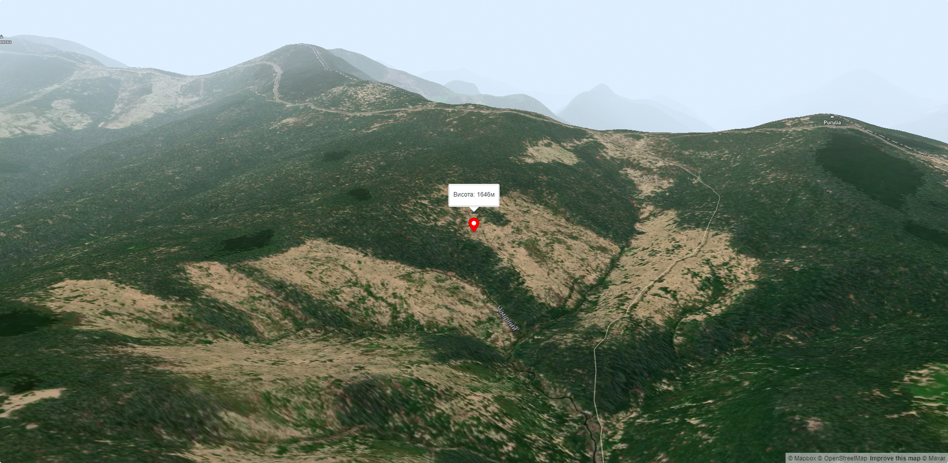
Mount Pryluchna
Mount Pryluchna is a 1,646-meter peak in the Ukrainian Carpathians. It is located on the border of two ranges - the Chyvchyn Mountains(Marmarosh mountain range) and the Hryniavsky Mountains.
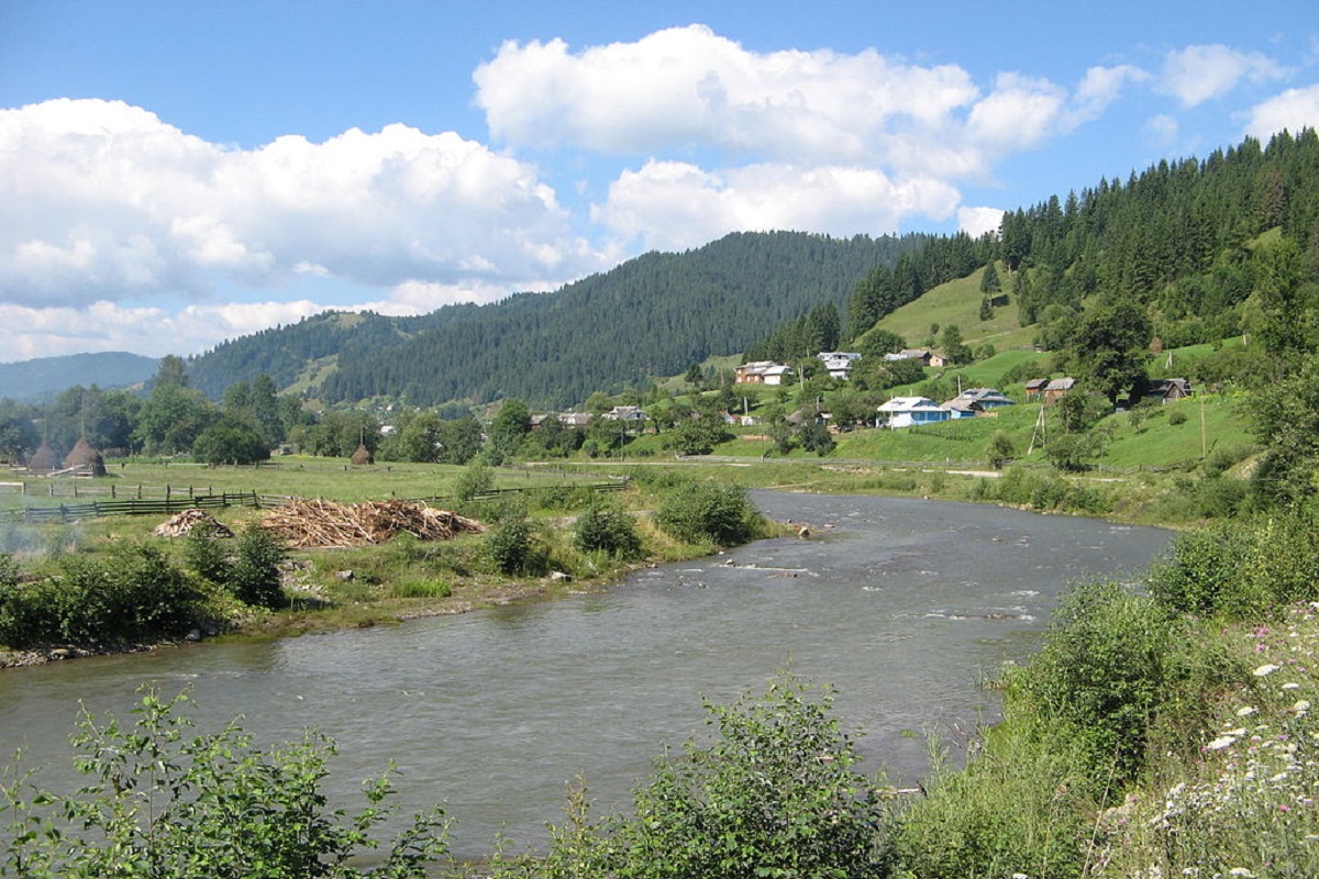
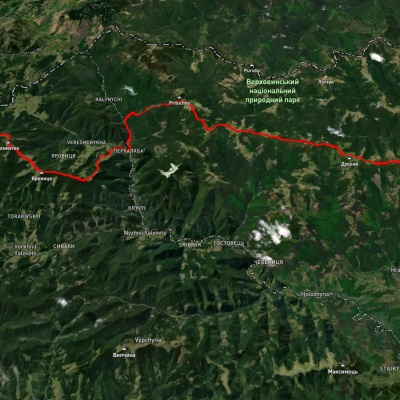
The peak is located on the territory of Verkhovyna district (in its southern part) of Ivano-Frankivsk region, southeast of the village of Burkut and southwest of the village of Nyzhnii Yalovets.
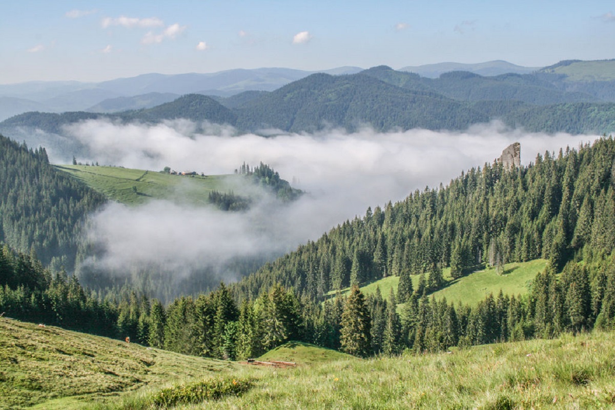
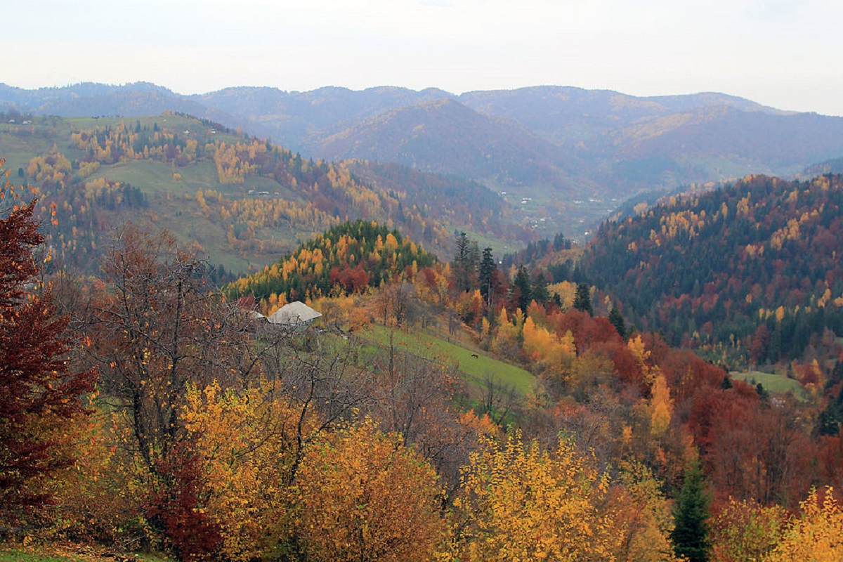
Pryluchna is located in the western part of the local mountain range of the same name (Pryluchnyi ridge), which separates the basins of the White and Black Cheremosh rivers.
The southeastern slopes of the peak are quite steep and difficult to access. A large area is occupied by meadows with pastures. The peak itself is unforested.
The nearest settlement is the village of Nyzhniy Yalovets, Putyla district, Chernivtsi region.
Accommodation around Mount Pryluchna:

Nearby hiking trails near Mount Pryluchna:
Which trails pass by Mount Pryluchna?
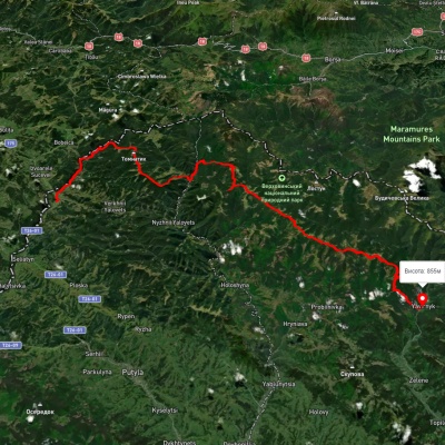
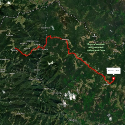
We suggest these hiking trails through or near Mount Pryluchna: Shepit village, via Mount Yarovytsia, Mount Pnivie and Mount Tarnytsia to Probiinivka village, Shepit village, via Mount Yarovytsia, Mount Pnivie and Mount Masnyi Pryslip to Shybene village, Mount Yarovytsia, via the Pryluchnyi ridge and Mount Pnivie to the Holy Trinity Monastery, Probiinivka village, via Mount Tarnytsia, Mount Pnivie and Mount Chyvchyn to Shybene village, Pirye – Cheremosh – Paukivka, Perkalaba – Mount Tomnatyk