Mount Tomnatyk (Yalovychory)
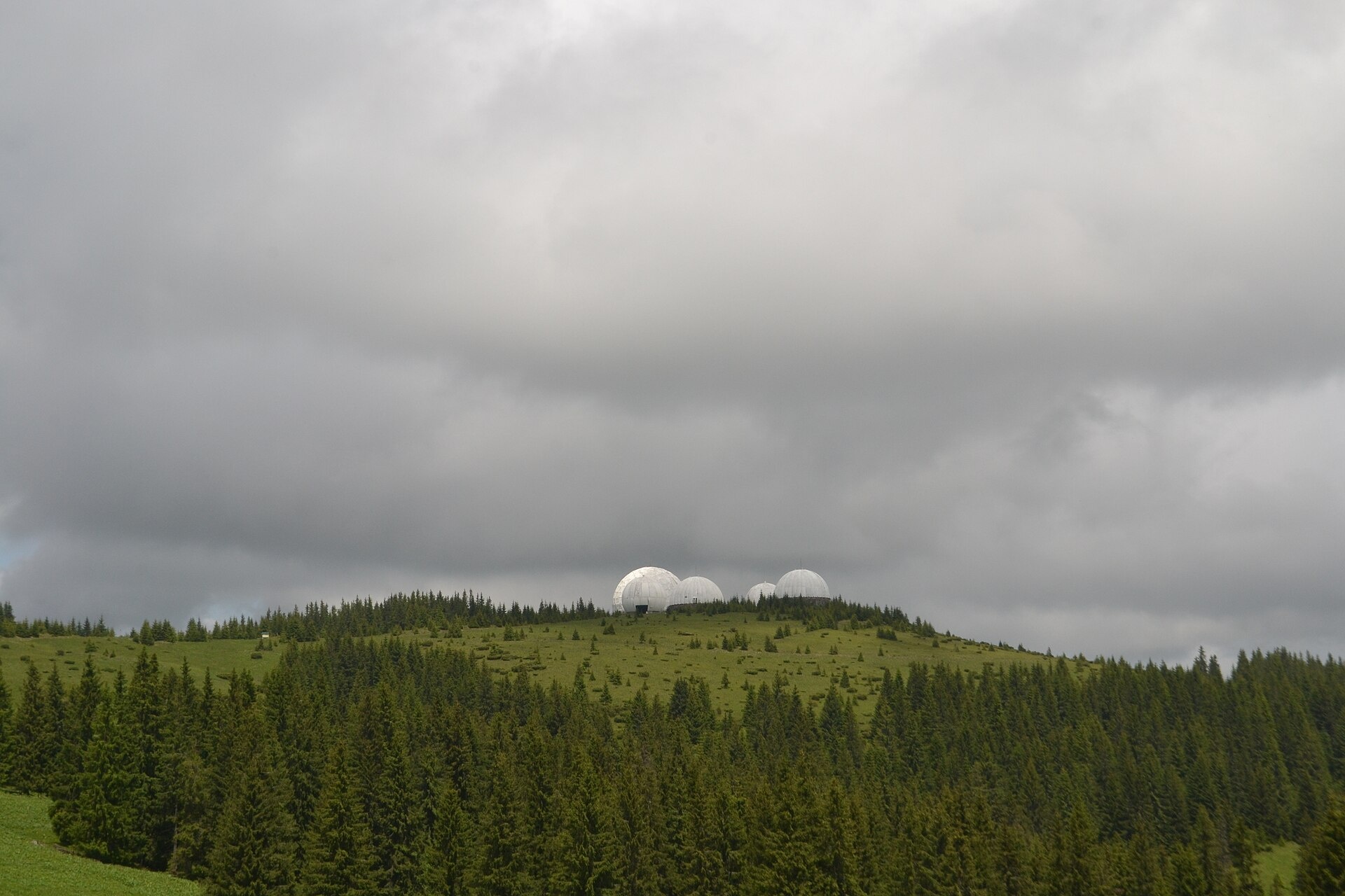
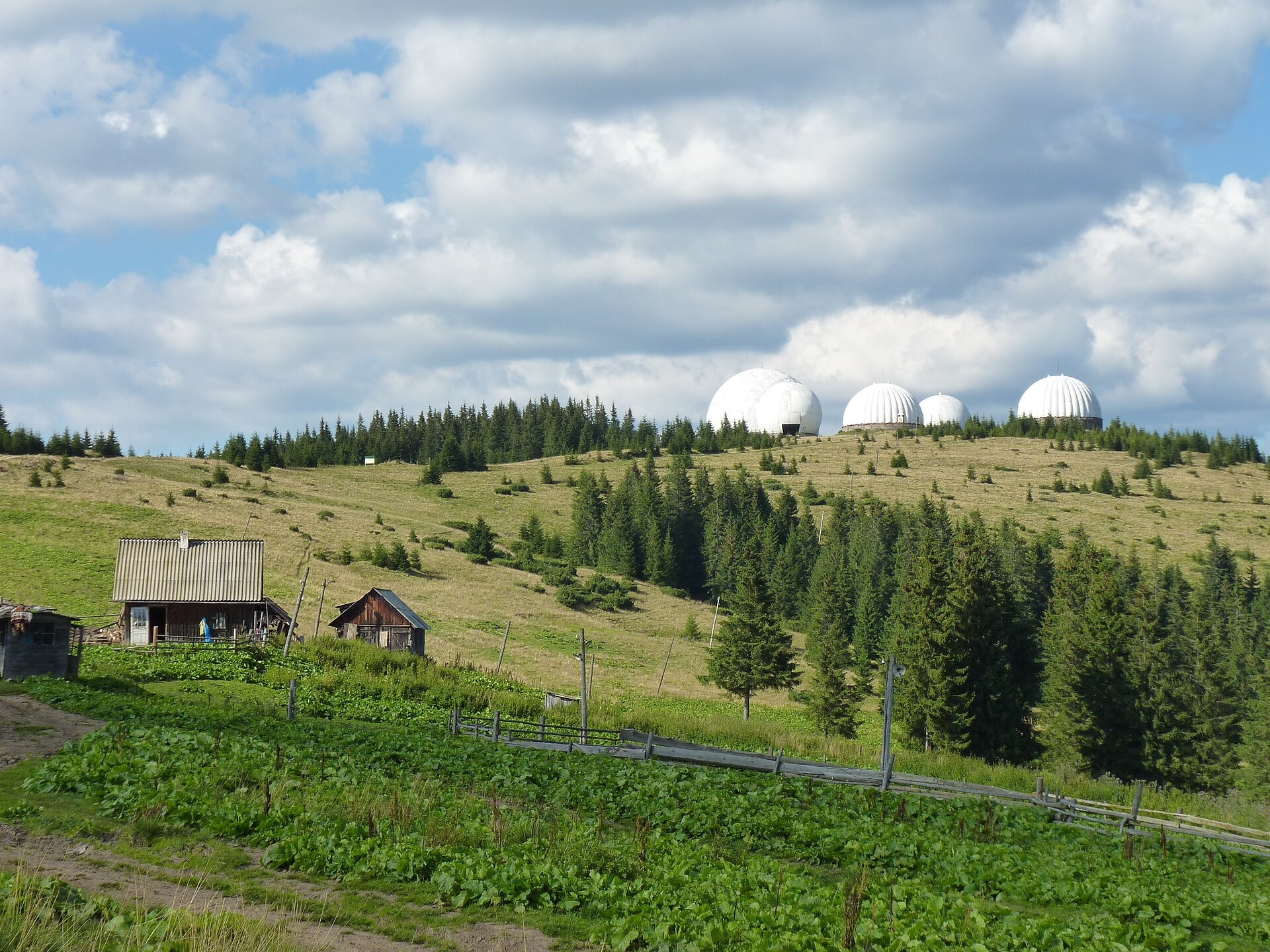
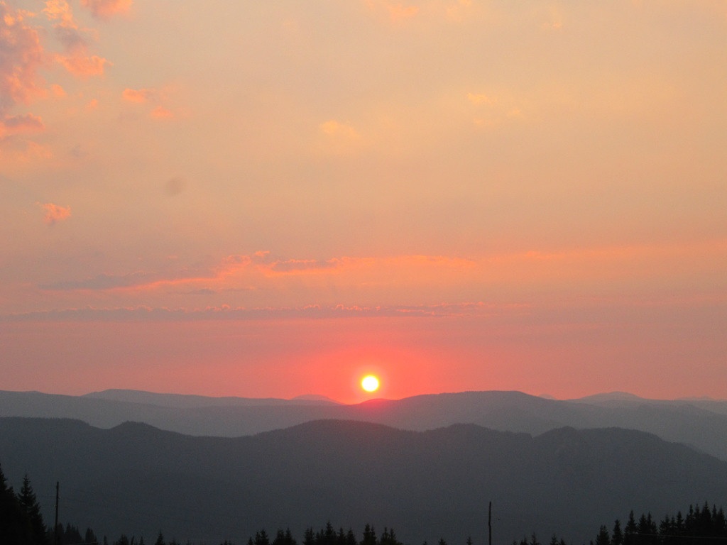
Tomnatyk is a 1,565 m mountain in the Yalovychory Mountains, on the Tomnatykul ridge. It lies in the Vyzhnytsia district of Chernivtsi Oblast, north-east of the village of Sarata and north-west of the Semenchuk pass. The summit is treeless, the slopes are relatively gentle and the foot of the mountain is forested. North of Tomnatyk rises the highest mountain of the Yalovychory massif, Yarovytsia (1,586.9 m). The nearest settlements are Sarata and Shepit. Do not confuse it with Hutyn Tomnatyk in Chornohora or with Temnatyk on Borzhava.
How to get there
Tomnatyk sits on the same ridge as Yarovytsia, so our Yarovytsia routes pass right next to it (about 20 m from the summit):
- Shepit — Mt Yarovytsia, 20.8 km;
- Nyzhnii Yalovets — Mt Yarovytsia — Shepit, 24.7 km;
- longer hikes: Shepit — Mt Yarovytsia — Mt Pnivie — Mt Tarnytsia — Probiinivka (59.4 km) and Shepit — Mt Yarovytsia — Mt Pnivie — Mt Masnyi Pryslip — Shybene (73.4 km).
There is also a short route Perkalaba — Tomnatyk (8.7 km).
Water, shelter and safety
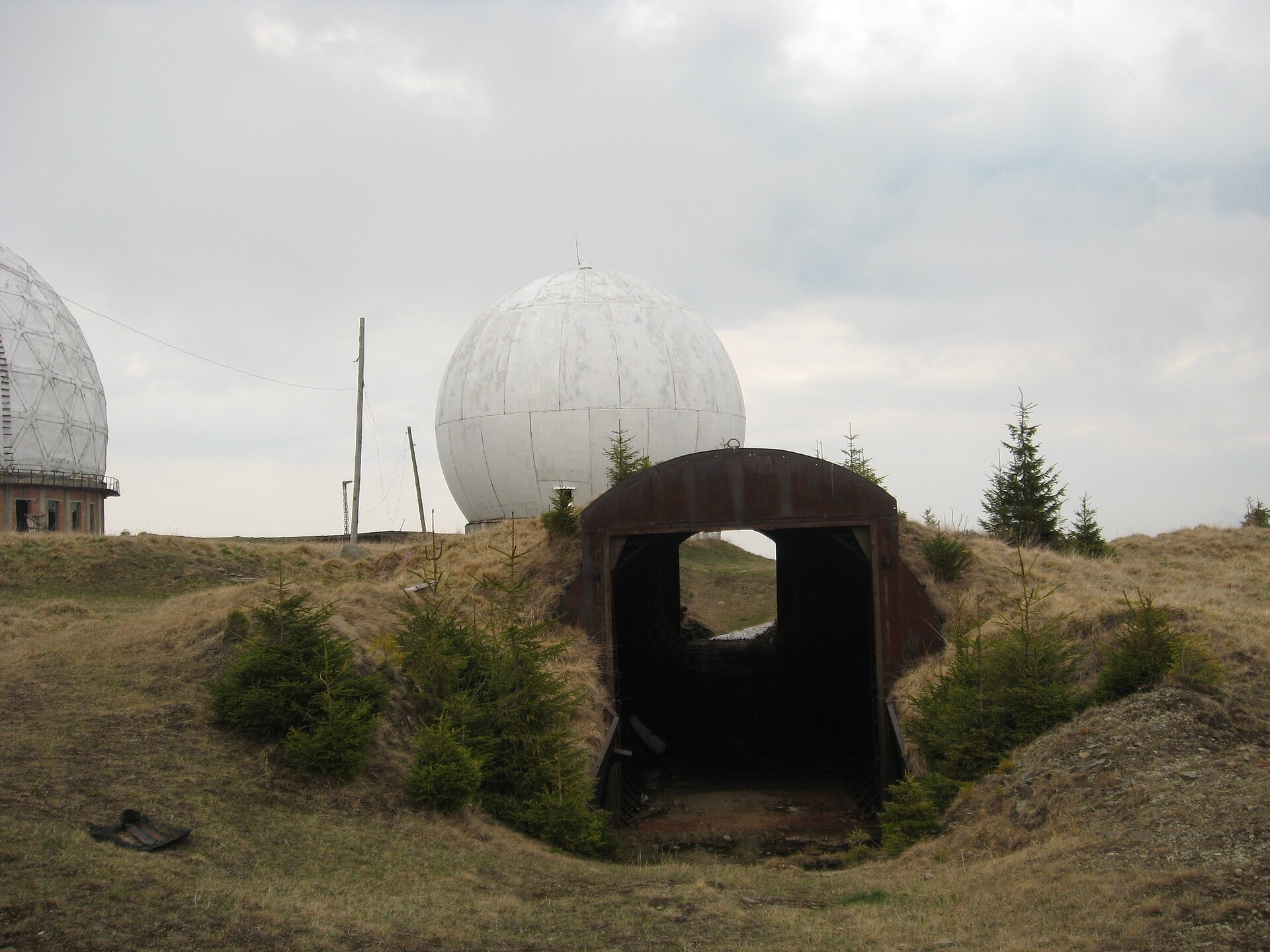
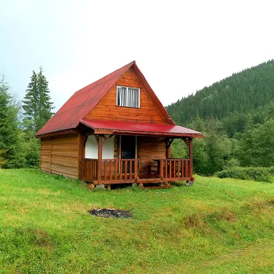
Our map shows the «Mt Tomnatyk» hut right by the summit (about 300 m) and another, «under Mt Tomnatyk», about 700 m away. A drinking-water spring is marked about 2 km from the summit, so it is better to carry water. The summit is exposed and the weather changes quickly; in fog follow your track. The ruins of the military base are dangerous — do not enter the buildings. In an emergency call 112 or 101 — the mountain rescue units work around the clock.
Interesting facts
- The summit holds the abandoned Soviet air-defence base «Pamir», recognisable by its radar domes.
- The music video for «1944», the song with which Jamala won Eurovision 2016, was filmed on Mount Tomnatyk.
Photos: Oleksa Yarys, CC BY-SA 4.0; П.Роксана, CC BY-SA 4.0; MSha, Public domain; Iryna Moroz, CC BY-SA 4.0 — Wikimedia Commons.
Location on the map
Comments
Places to stay nearby
Trails nearby
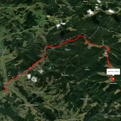 HardTwo-dayUnmarkedShepit village Mount YarovytsiaElevation profile863–1 562 m20.8 kmascent 1 021 m≈ 7 h walkingunder 1 km from Mount Tomnatyk (Yalovychory)
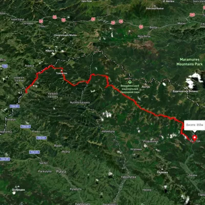 HardMulti-dayUnmarkedShepit village to Shybene villagevia Mount Yarovytsia, Mount Pnivie +1Elevation profile851–1 579 m73.4 kmascent 2 571 munder 1 km from Mount Tomnatyk (Yalovychory)
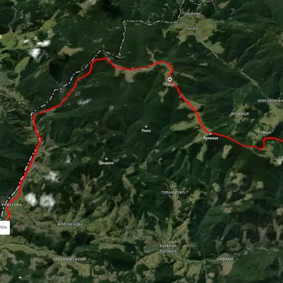 HardMulti-dayUnmarkedNyzhnii Yalovets village to Shypit villagevia Mount YarovytsiaElevation profile862–1 564 m24.7 kmascent 1 153 m≈ 8.5 h walkingunder 1 km from Mount Tomnatyk (Yalovychory)
Nearby attractions
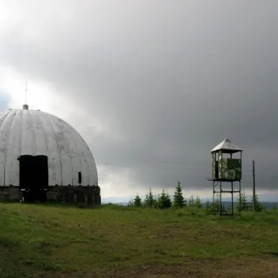 Historic siteCarpathian Pamir, Sarataunder 1 km from Mount Tomnatyk (Yalovychory)From the 1960s until the mid-1990s, a secret radar station operated on one of the highest peaks of the Bukovyna Carpathians, Mount Tomnatyk.
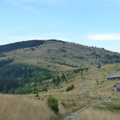 PeakMount Yarovytsiaaltitude 1 566 m3.3 km from Mount Tomnatyk (Yalovychory)8 trails to the topYarovytsia is the peak of the Yalovychora Mountains in the Ukrainian Carpathians, located on the Yarovets Ridge , which is one of the southernmost ridges of the...
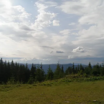 NatureBlack Dil Nature Reserve Sarata6 km from Mount Tomnatyk (Yalovychory)Chornyi Dil is a landscape reserve of national importance in Ukraine. It is located west of the village of Sarata, Putyla district, Chernivtsi region, in the...