Hnatasya Mountain
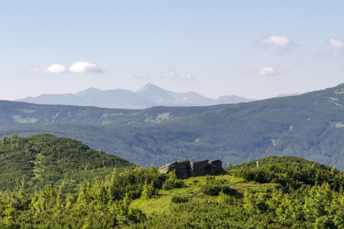
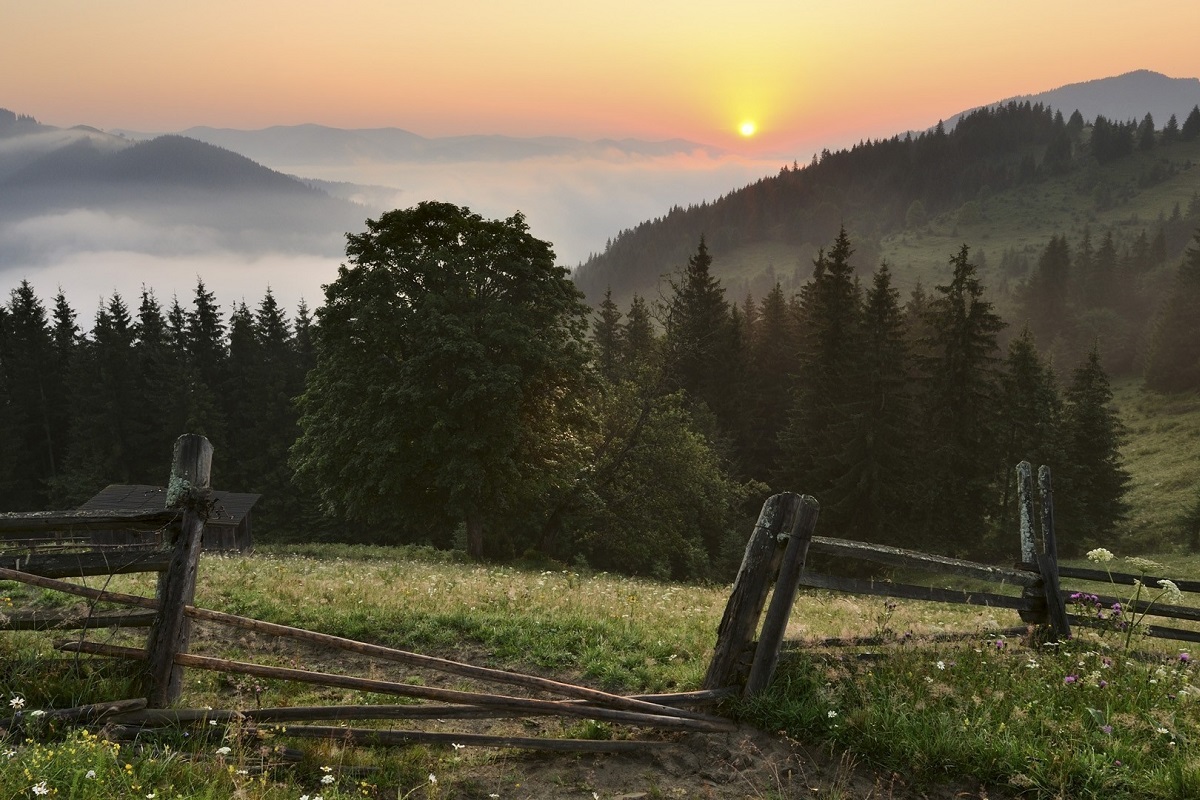
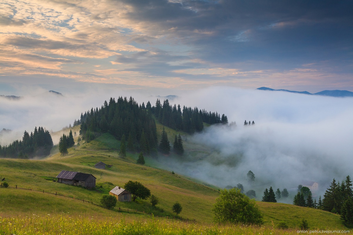
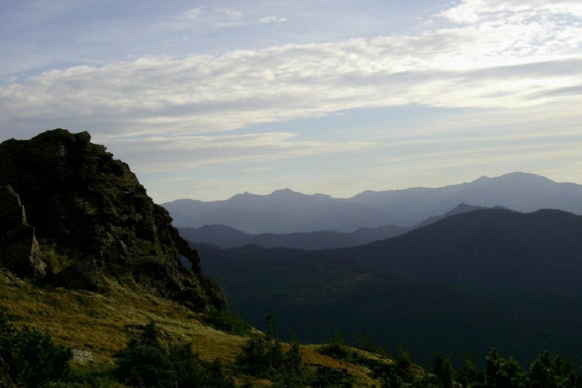
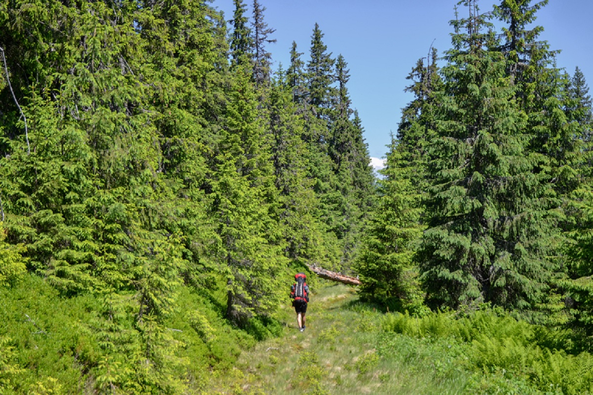
Mount Hnatasya, 1766 meters high, is a peak in the Ukrainian Carpathians. It is located in the southeastern part of the Chyvchyn Mountains of the Marmarosh mountain range in the Verkhovyna district of Ivano-Frankivsk region.
The mountain is located southeast of the village of Burkut (Verkhovyna district, Ivano-Frankivsk region) and west of the village of Sarata(Putyla district , Chernivtsi region), one of the most inaccessible and remote villages in the Ukrainian Carpathians.
The northern, western, and southern slopes of Hnatasi are steep, while the eastern slopes are very steep, sometimes with rocky ledges. The peak itself and its summit part are unforested.
The border between Ukraine and Romania passes through the top of Hnatas.
To the north of the mountain are such famous peaks of the Chyvchyn Mountains as Mount Palenytsia, Mount Komanova, and Mount Koman.
Mount Hnatasya is the southernmost peak of the Ukrainian Carpathians.
The nearest settlement is the village of Burkut in Verkhovyna district of Ivano-Frankivsk region.
Location on the map
Comments
Trails nearby
All trails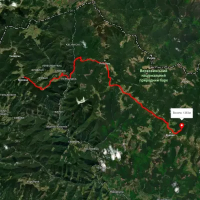 HardMulti-dayUnmarkedMount Yarovytsia to the Holy Trinity Monasteryvia the Pryluchnyi ridge, Mount PnivieElevation profile969–1 642 m32.5 kmascent 1 478 m≈ 11 h walking5.8 km from Hnatasya Mountain
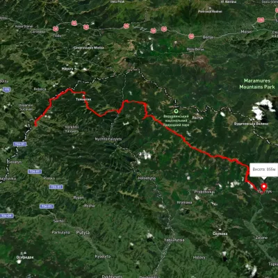 HardMulti-dayUnmarkedShepit village to Shybene villagevia Mount Yarovytsia, Mount Pnivie +1Elevation profile851–1 579 m73.4 kmascent 2 571 m5.8 km from Hnatasya Mountain
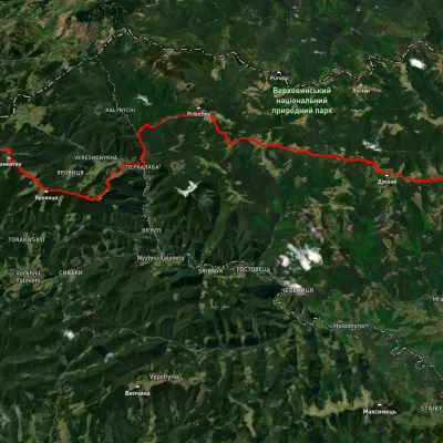 HardMulti-dayUnmarkedShepit village to Probiinivka villagevia Mount Yarovytsia, Mount Pnivie +1Elevation profile814–1 587 m59.4 kmascent 2 021 m5.8 km from Hnatasya Mountain
Nearby attractions
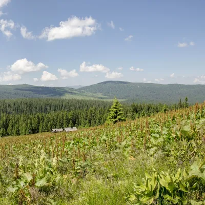 PeakMount PalenicaNyzhnyi Yalovetsaltitude 1 749 m · Chyvchyny rangeunder 1 km from Hnatasya MountainPalenytsia is a 1749-meter peak (according to other information, the height of the mountain reaches 1758 m) of the Ukrainian Carpathians, which is located in the...
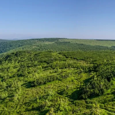 PeakMount KomanovaNyzhnyi Yalovetsaltitude 1 734 m · Chyvchyny range2.9 km from Hnatasya MountainKomanova is a peak in the Ukrainian Carpathians, which is located on the territory of the Chyvchyn Mountains of the Marmarosh mountain range.
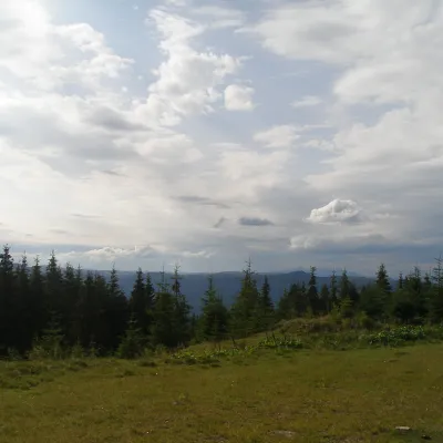 NatureBlack Dil Nature Reserve SarataSarata7.3 km from Hnatasya MountainChornyi Dil is a landscape reserve of national importance in Ukraine. It is located west of the village of Sarata, Putyla district, Chernivtsi region, in the...