Yavirnyk (Shybene)
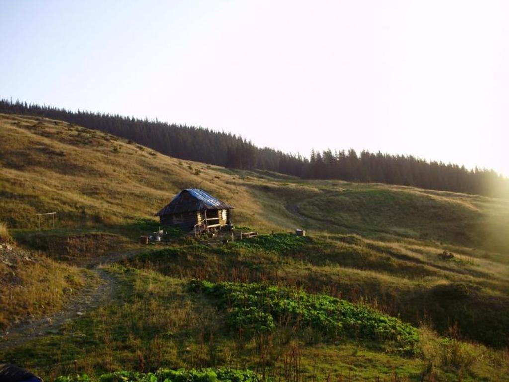
The village of Shybene in Verkhovyna district is the most remote village in Prykarpattia. It is well known to tourists, as it is the last village on the map of hiking routes before climbing Mount Pip Ivan Chornohirskyi. However, more recently the village has been called Yavirnyk, although the locals are used to the old name, and the road sign with the inscription "Shybene village" has been preserved to this day. It is an ideal place for adventurers who want to escape from the modern frantic rhythm of life and civilization.
The village of Shybene in the Verkhovyna district of Ivano-Frankivsk region is located in the border area, a few kilometers away from Romania, so there is a border guard post here. If you are planning a trip here, be sure to bring your Ukrainian passport, but there is no need to register in advance.
The Black Cheremosh river flows through the village. In the summer, many tourists come here to raft its rapids or to conquer the peak of Pip Ivan Chornohirsky.
What to visit
Landmarks, museums and places of interest near Yavirnyk (Shybene).
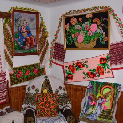 MuseumMuseum of Hutsul embroidery, ZeleneZelene1.7 km from the centreEmbroidery is undoubtedly one of the most famous and widespread forms of folk art in Ukraine. It is this type of folk art that is a classic and, therefore, a living...
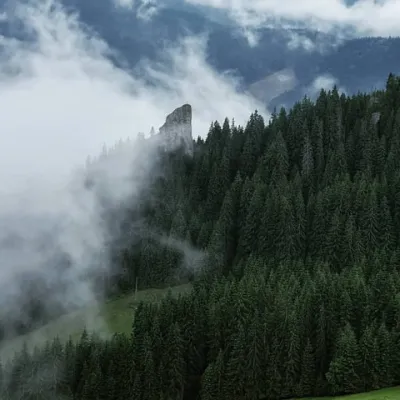 NatureHungarian stones (Hungarian rocks), GreenZelene3.8 km from the centreThe Hungarian Rocks or Hungarian Stones are an array of four huge vertical rocks in the middle of the forest, which rise above the spruce forest.
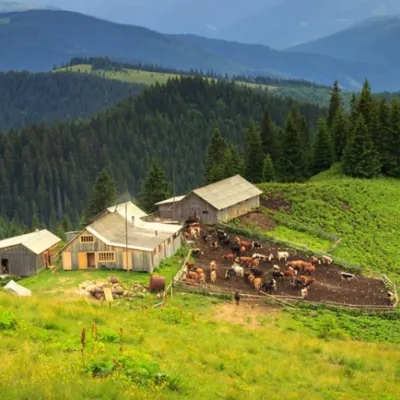 Mountain meadowPolonyna SkupovaSenkivskealtitude 950 m · Hryniava Mountains range6.1 km from the centreSkupova meadow - Verkhovyna district, Ivano-Frankivsk region. The owner of the meadow: Ivan Nedokhodyuk.
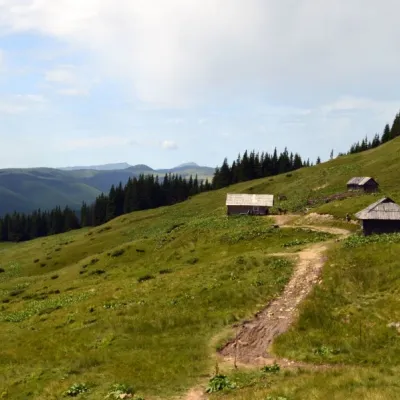 Mountain meadowPolonyna Vesnarka, ZelenneZeleneChornohora range6.3 km from the centre"Vesnarka is a meadow on the Chornohora ridge in the Ukrainian Carpathians. It is located on the road between the village of Zelene and the mountain of Pip Ivan...
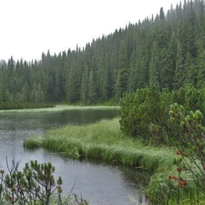 LakeLake MaricheykaYavirnyk (Shybene)6.5 km from the centreLake Maricheyka is one of the most picturesque high-altitude glacial lakes in the Carpathians, located on the northeastern slope of Mount Shuryn, in the Chornohora...
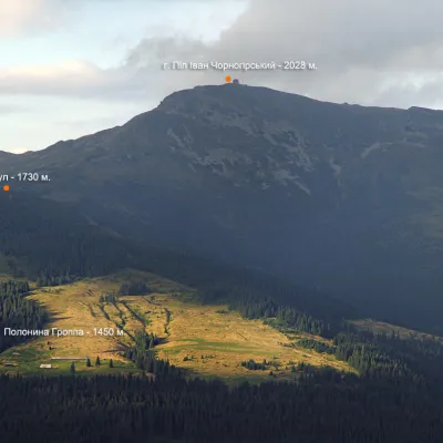 NatureMount VaskulYavirnyk (Shybene)10 km from the centreVaskul (Vaskul) is a mountain in the Chornohora massif (Ukrainian Carpathians). Vaskul (1730 m) is the foothill of Pop Ivan on the southwestern side.
Where to stay
Hotels, guesthouses and cottages in and around Yavirnyk (Shybene).
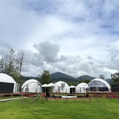 HotelGlamping EcoSpace EthnoIltsi12 km from the centreHot tubPoolNearby: Polonyna Krinta 2.5 kmMuseum of mushrooms 2.8 km17 trails
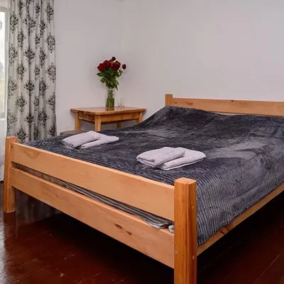 HomesteadHomestead "Sharm karpaty"Iltsi12 km from the centreSaunaSPABBQNearby: Polonyna Krinta 2.5 kmMuseum of mushrooms 2.8 km17 trails
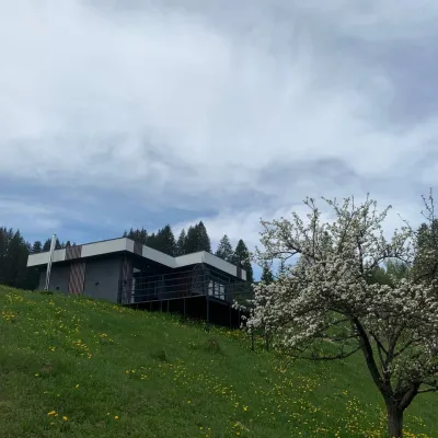 CottageRest in the CarpathiansVerkhovyna15 km from the centreNew modern cottage for a good rest and positive emotions.Nearby: Assumption Church 1.3 kmPolonyna Krinta 6.2 km12 trails
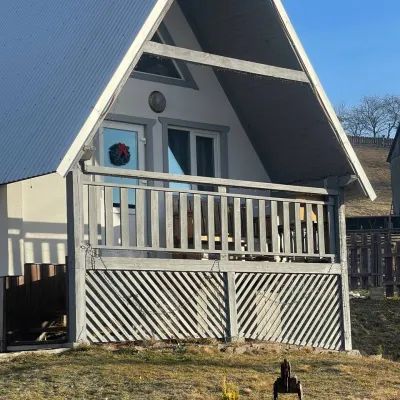 HomesteadHomestead "Bilosnizhny"Verkhovyna15 km from the centreHomestead "Bilosnizhny" is located in the village of Iltsi, 250 meters from the main road, 8 km to the center of the village of Verkhovyna, near the Tatariv-Verkhovyna...Nearby: Assumption Church 2.8 kmMt Bila Kobyla 5.9 km17 trails
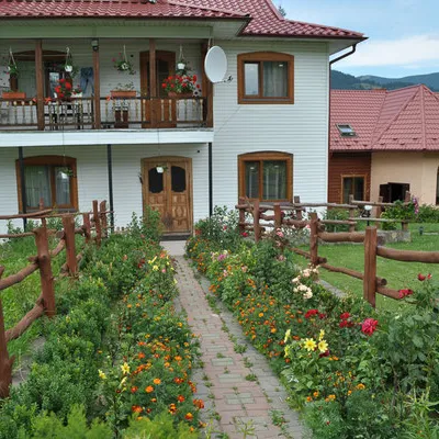 CottageCottage "Trembita" VerkhovynaVerkhovyna14 km from the centreSaunaBBQKitchenNearby: Museum of mushrooms 1.2 kmPolonyna Krinta 4.1 km17 trails
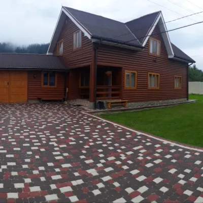 HomesteadHomestead "Bilyi Dim Karpat" VerkhovynaVerkhovyna15 km from the centreHot tubSaunaBBQNearby: Assumption Church 1.5 kmPolonyna Krinta 5.8 km13 trails
Trails nearby
All trails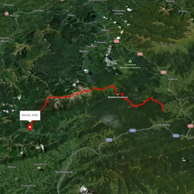 HardMulti-dayUnmarkedVoronenko village to Zelene villagevia Mount Kukul, Mount Hoverla +1Elevation profile768–2 019 m46.9 kmascent 3 476 m2.2 km from the centre
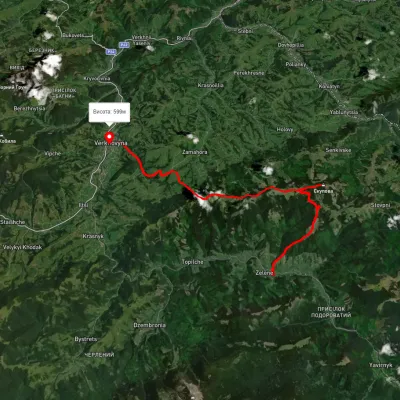 HardMulti-dayUnmarkedZelene village to Verkhovynavia Mount SkupovaElevation profile613–1 578 m32.7 kmascent 1 063 m≈ 10.5 h walking2.6 km from the centre
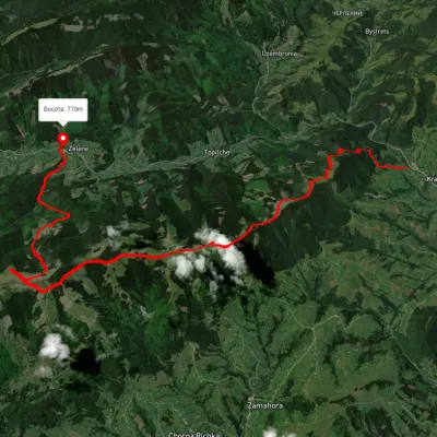 HardTwo-dayUnmarkedKrasnyk village to Zelene villagevia the Krynta–Skupova ridgeElevation profile671–1 395 m23.1 kmascent 960 m≈ 7.5 h walking2.6 km from the centre
Peaks nearby
All peaks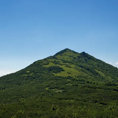 PeakMount StaikyYavirnyk (Shybene)altitude 1 743 m · Chornohora range5.9 km from the centre1 trail to the topMount Staiky is a peak that lies within the Chornohora mountain range in the Ukrainian Carpathians, with a height of 1743 m (according to other sources - 1745 m).
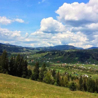 PeakMount RoztickaZelenealtitude 1 514 m · Hryniava Mountains range6.1 km from the centre2 trails to the topRoztitska (also known by other names - Roztitska, Rostytska, Rostitska) is a peak in the Ukrainian Carpathians, which is located within the Hryniava Mountains.
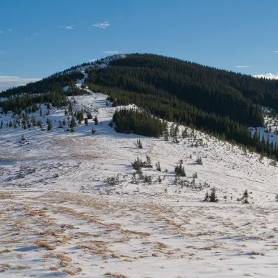 PeakMount SkupovaZelenealtitude 1 579 m · Hryniava Mountains range6.1 km from the centre3 trails to the topMount Skupova is the peak of the Ukrainian Carpathians, which is located in the Hryniava mountain range.