Lake Maricheyka
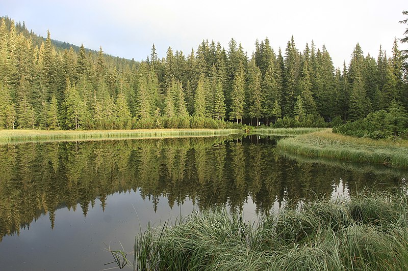
Lake Maricheyka is one of the most picturesque high-altitude glacial lakes in the Carpathians, located on the northeastern slope of Mount Shuryn, in the Chornohora massif, within the Verkhovyna district of Ivano-Frankivsk region. It is part of the Carpathian National Nature Park. Not far from the lake stands one of the highest mountains in the Carpathian region - Mount Pip Ivan Chornohirskyi, which reaches a height of 2028 meters.
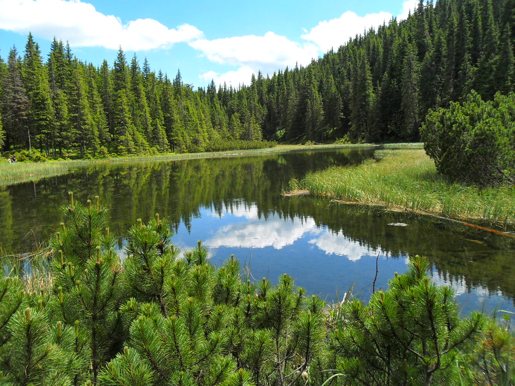
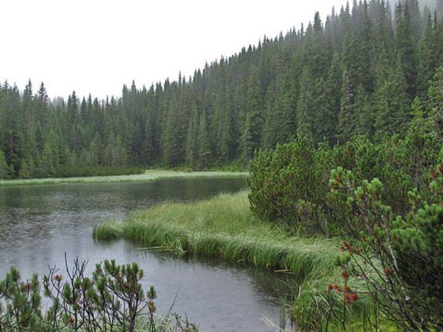
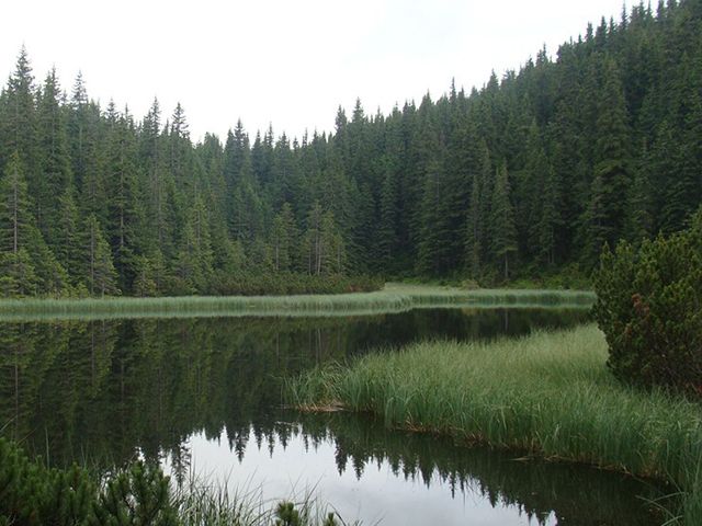
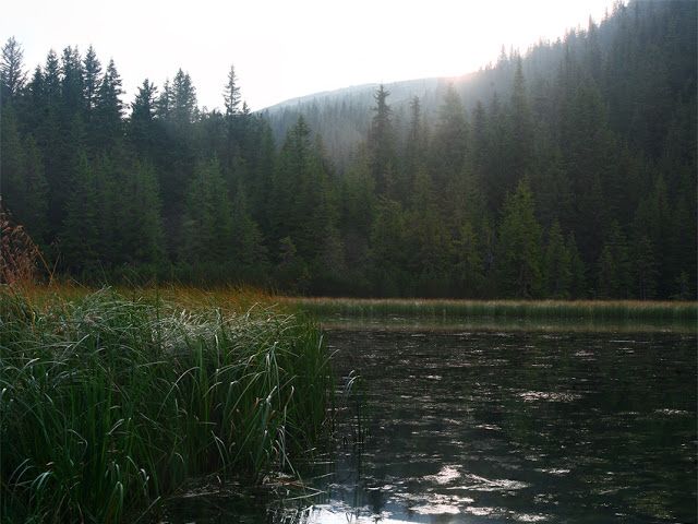
The lake is 88 meters long, 45 meters wide, and sits at an elevation of 1510 meters above sea level. Maricheyka is the second largest lake in Chornohora by area. As early as 1880, T. Vishnyovsky noted that its maximum depth reached two meters. The current shallowing of the water body to 0.8 m (in the pits with bottom springs up to 1.1 m) is associated with the destruction of the moraine by the waters of the stream flowing from the lake. The basin has an elongated shape. The shores are low, partially covered with subalpine meadows and partially overgrown with sedge, surrounded by forests of spruce and mountain pine. It is fed by underground and partially atmospheric waters. The water is fresh and clean. The bottom is flat and muddy. Despite its shallow depth, swimming is possible.
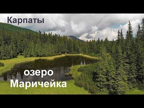
A stream flows out of the lake, which flows into the river Pohorilets (a left tributary of Shybenyi, part of the Black Cheremosh basin). Several springs are also located near the lake. The nearest settlement is the village of Yavirnyk. From above, the lake resembles a huge drop of dew frozen among the dense coniferous forest.
Lake Maricheyka attracted the attention of tourists as early as the early 20th century: a route from Burkut to Mount Pip Ivan Chornohirskyi passed by it. Memories of his first journey to Chornohora in the second half of 1904 were left by the famous Ukrainian mathematician Volodymyr Levytsky: "On the further road to the southeast from Pop Ivan, we pass a mountain lake, one of those that are many in Chornohora (but not as beautiful as the one under Turkul), then we find good spring water and soon find ourselves in beautiful weather on the summit of Pop Ivan. We rest for a while on this impressive mountain and admire the majestic view in all directions far into the Rodnian Alps...".
The landscapes of the lake delight every tourist's eye. The shores of the lake are adorned with forests of spruce and mountain pine. It is one of the largest high-altitude lakes in the Ukrainian Carpathians. The origin of the lake's name is preceded by a legend.
The Legend of the Lake
Maricheyka, the young wife of the shepherd Ivan, saw the enemies and whispered to her beloved:
- Ivan, dear! Hurry to our people, warn them!.. And I will try to delay them.
- I cannot leave you.
- Remember, dear, how many of us are up there in the mountains. Parents and mothers, old and children... All our people... They are in danger. Go!
And Ivan went. Proud Maricheyka stood in the way of the enemies. They captured her... They ordered:
- Lead us to your Hutsuls. Otherwise, death!
They walked until nightfall. Maricheyka led them into such wild places that they could not escape. The enemies became enraged and attacked her with sabers... The earth trembled, a terrible wind blew, thunder rumbled. And stones flew into the sky, the mountains shifted, and a lake was formed. In it, the enemies found their demise. Since then, the forest has been named after the brave girl, and the lake - Maricheyka...
Along Lake Maricheyka, there is a path - one of the most interesting not only in the Carpathian National Park but also in all the Carpathians. The natural landscapes possess incredible beauty. A trip to the lake will be a pleasant rest for all tourists and lovers of ecological tourism, in particular.
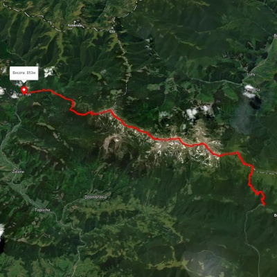
- Several tourist routes have been laid out that pass by Lake Maricheyka. One of them leads to Lake Shybenyi and Mount Pip Ivan, passing by Lake Maricheyka. The starting point is the mouth of the Shybenyi stream (a route length of 13 km, with a vertical ascent of 1170 m). From the mouth of Shybenyi, you need to walk west to Cheremosh for 4 km along a road suitable for vehicle traffic, then to the dam of one of the largest Carpathian lakes - Shybenyi. This natural lake is adapted for water collection (which was used for rafting timber down the Cheremosh river). The lake is located at an altitude of 1024 m, has a length of 850 m and a width of 200 m, with a depth near the dam of 25 m. After inspecting the lake, you need to return one and a half kilometers back, the road will lead to the mouth, which is on the left side of Pohorilets. From there, you can walk along the ridge to the Vesnarka meadow, under Mount Shuryn. Here you need to turn right, walk along the slope to the northeast, then to the northwest, and the road will lead to Lake Maricheyka (which is located 5 km from the start of the ascent). Behind the lake stretches the Maricheyka meadow, if you head west, you can reach the area between Mount Shuryn and Pip Ivan. From here, you can climb to the summit.
- You can also reach Maricheyka from Verkhovyna (the journey will take about two hours). This road is considered one of the most interesting in the Carpathians and has scientific and educational significance. It starts from the Homestead of the High Mountain Forestry and then goes along the slopes of the Chornohora ridge through an ecologically clean natural area. Along the way, you can encounter unique landscapes of alpine and subalpine zones. The flora is impressive with endemic and rare plants listed in the Red Book - kvasenytsia, Linnaeus's fern, blueberries, Heufler's saffron, St. John's wort. If you're lucky, you might encounter representatives of the local fauna - the spotted salamander, Carpathian newt, snow weasel, squirrel, capercaillie, white-backed woodpecker, hare, fox, wild boar, roe deer, deer.
Accommodation around Lake Maricheyka:


Which trails pass by Lake Maricheyka?
We suggest these hiking trails through or near Lake Maricheyka: Shybene village, via Mount Pip Ivan Chornohirskyi, Lake Nesamovyte and Mount Pozhyzhevska to Zaroslyak base, Shybene village – Mount Pip Ivan Chornohirskyi – Shybene village, Yasinia, via Mount Petros, Mount Hoverla and Mount Pip Ivan Chornohirskyi to Shybene village, Dzembronia village, via Mount Pip Ivan Chornohirskyi to Vesnarka polonyna, Zaroslyak base, via Mount Turkul, Mount Dzembronia and Mount Pip Ivan Chornohirskyi to Shybene village, Shybene village, via Vesnarka polonyna to Mount Pip Ivan Chornohirskyi

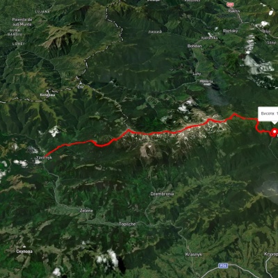
Shybene village, via Mount Pip Ivan Chornohirskyi, Lake Nesamovyte and Mount Pozhyzhevska to Zaroslyak base
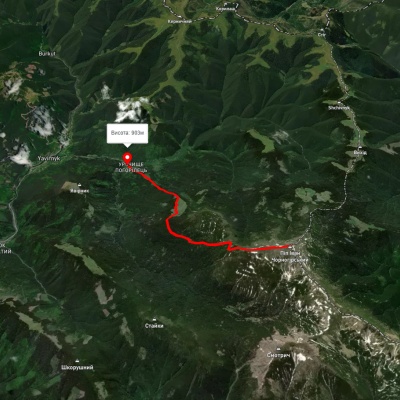
Shybene village – Mount Pip Ivan Chornohirskyi – Shybene village
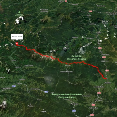
Yasinia, via Mount Petros, Mount Hoverla and Mount Pip Ivan Chornohirskyi to Shybene village
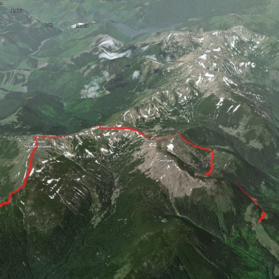
Dzembronia village, via Mount Pip Ivan Chornohirskyi to Vesnarka polonyna