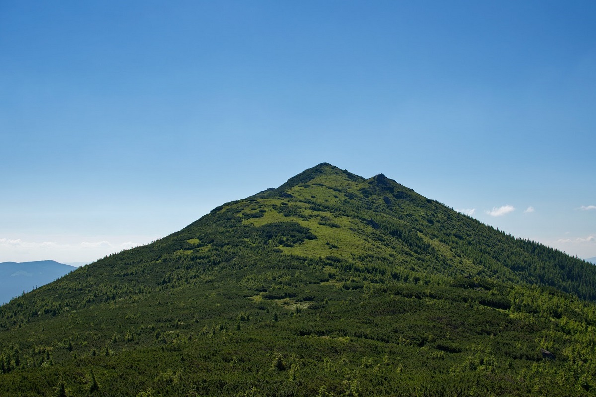
Staika Mountain
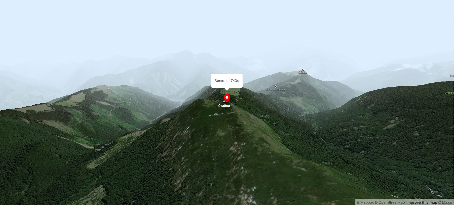
Mount Staiky is a peak that lies within the Chornohora mountain range in the Ukrainian Carpathians, with a height of 1743 m (according to other sources - 1745 m). It is located on the territory of Verkhovyna district (or, more precisely, in its southwestern part) of Ivano-Frankivsk region, south of the village of Dzembronia and west of the village of Zelene.
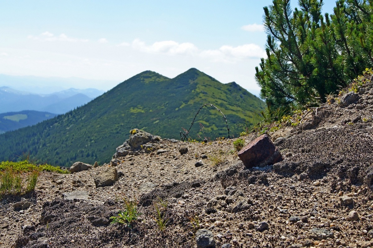
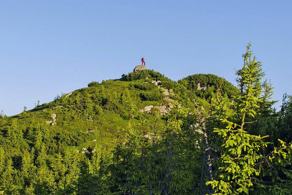
The foot of Mount Staika is covered with centuries-old spruce forests, the slopes are quite steep, and the very top is unforested, covered with grasses and thickets of alpine pine - the fir.
It is worth noting that it is on the slopes of Mount Staika, at an altitude of about 1680 meters above sea level, that the highest upper limit of the forest belt of the Ukrainian Carpathians is located.
On the same ridge as Mount Staiky, there are also the peaks of Mali Staiky, Podorovaty and Shurymska, which together form a very distinct mountain range stretching from northwest to southeast.
To the east of the Staiky is Mount Skorushny, to the northwest are Mount Smotrych and Mount Mali Staiky, and to the southwest is the picturesque alpine Lake Maricheika, which lies at an altitude of 1510 meters above sea level.
The nearest settlement is a suburb of Zelene village - Yavirnyk (Verkhovyna district of Ivano-Frankivsk region).
Accommodation around Staika Mountain:


Nearby hiking trails near Staika Mountain:

Які маршрути проходять повз Staika Mountain?
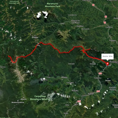
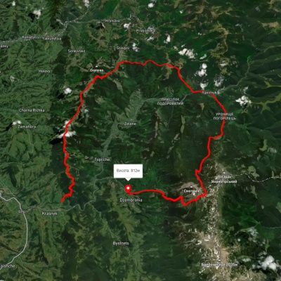
Пропонуємо пройти такі туристичні (пішохідні) маршрути через/біля Staika Mountain: г. Стайки, через г. Піп Іван Чорногірський, г. Стіг, г. Піп Іван Мармароський до с. Ділове, с. Вороненко, через г. Кукул, г. Говерла, г. Піп Іван Чорногірський до с. Зелене, с. Красник, через г. Кринта, г. Зміїнська, с. Шибене, пол. Веснарка, оз. Марічейка до с. Дземброня, с. Шибене – г. Піп Іван Чорногірський – с. Шибене, смт. Ворохта, через г. Кукул, г. Брескул, г. Ребра, г. Піп Іван Чорногірський до с. Дземброня, с. Дземброня, через г. Піп Іван Чорногірський, пол. Веснарка до с. Шибене