The Marmarosky (ridge) massif, together with the Chyvchyn Mountains, is called the Hutsul Alps, and this is no accident. After all, this mountainous area has a special landscape and microclimate that differs significantly from other ranges of the Ukrainian Carpathians. The Marmaros really do resemble the European Alps in some ways...
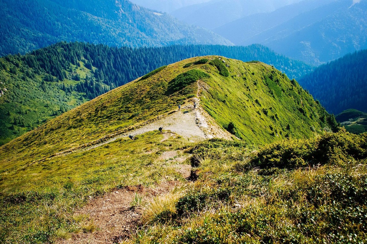
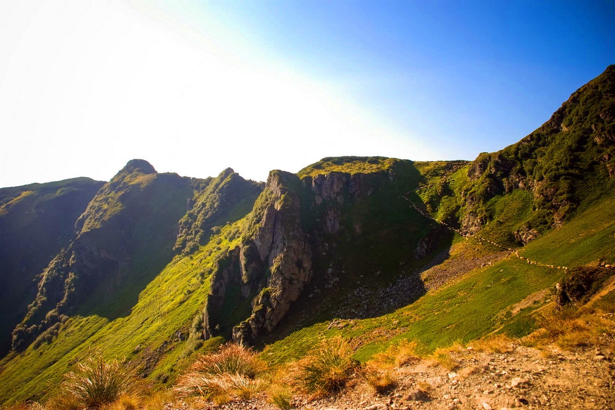
The Marmarosh Range is the oldest mountain range in the Carpathians. They are distinguished from other ranges by their peaked peaks, steep and rocky slopes, and very deep river slopes. The Marmaros are mainly located on the territory of Romania. On the part of Ukraine(Ivano-Frankivsk and Zakarpattia regions), there are parts of them - the Ukrainian Marmaros Ridge and the Chyvchyn Mountains.
General information
The Ukrainian Marmarosy are the second highest mountain range in the Carpathians after Chornohora. The Marmarosy Range, with a total area of over 8.99 thousand hectares, is part of the Carpathian Biosphere Reserve.
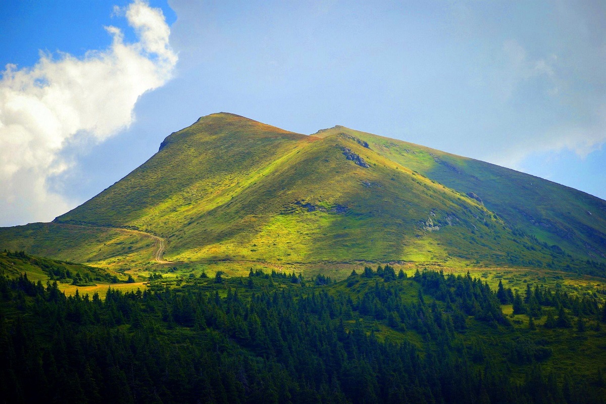
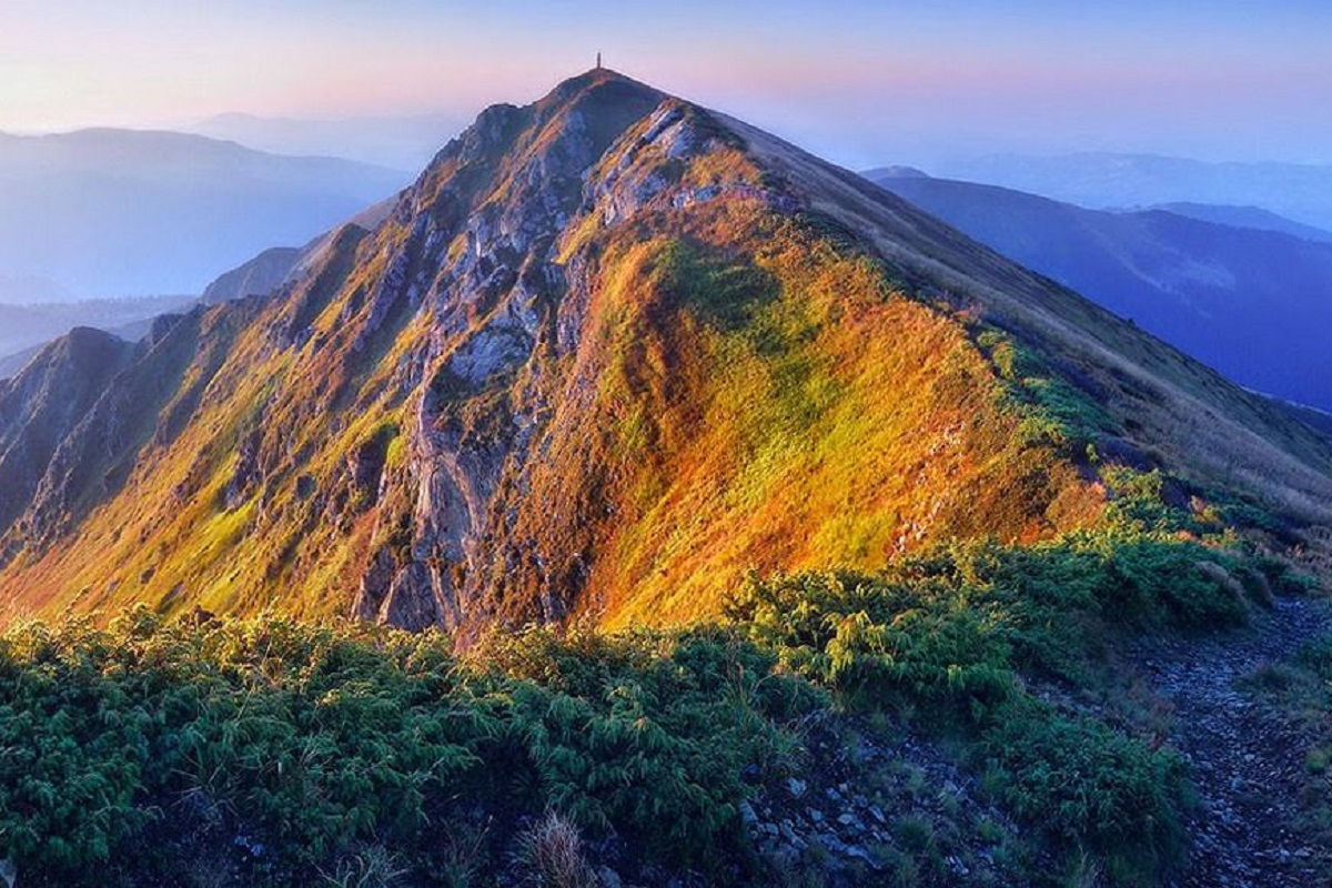
The orographic axis of the Marmaros is the ridge along which the border between Ukraine and Romania runs. This mountain range is home to such well-known peaks as St . John of Marmaros (1936 meters high), Mount Mala Neneska (1820 meters), Mount Chivchyn (1769 meters), Mount Hnatasya (1769 meters), Mount Palenytsia (1750 meters), Mount Lostun (1654 meters), Mount Stig (1653 meters), and others.
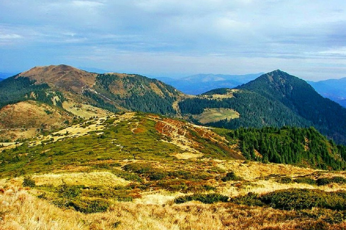
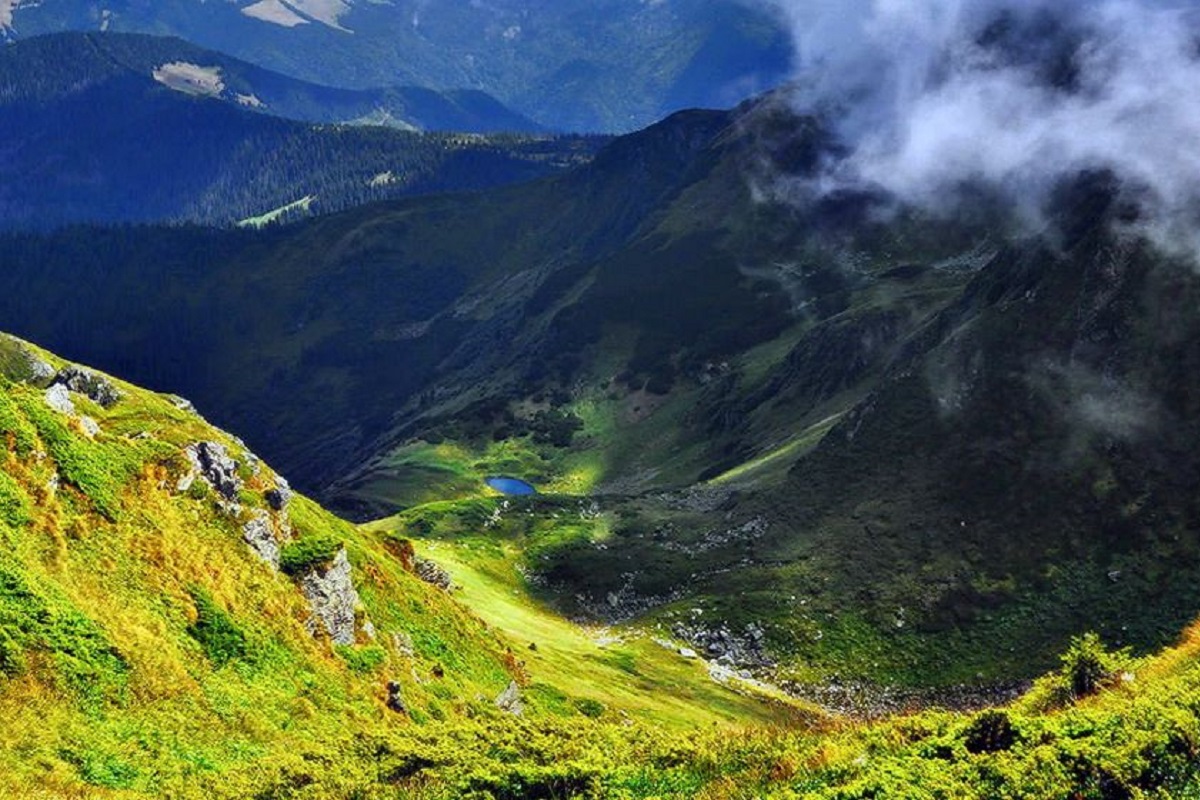
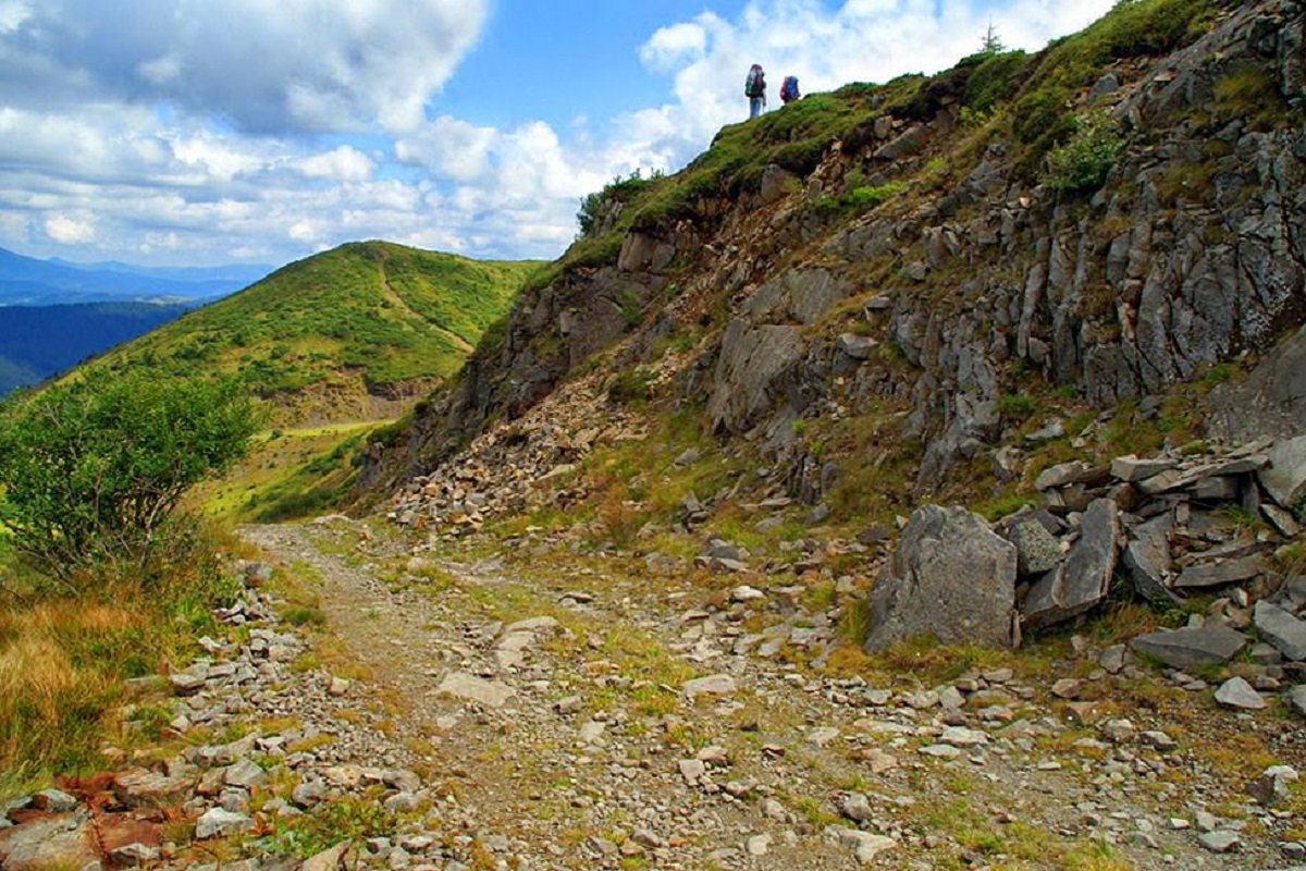
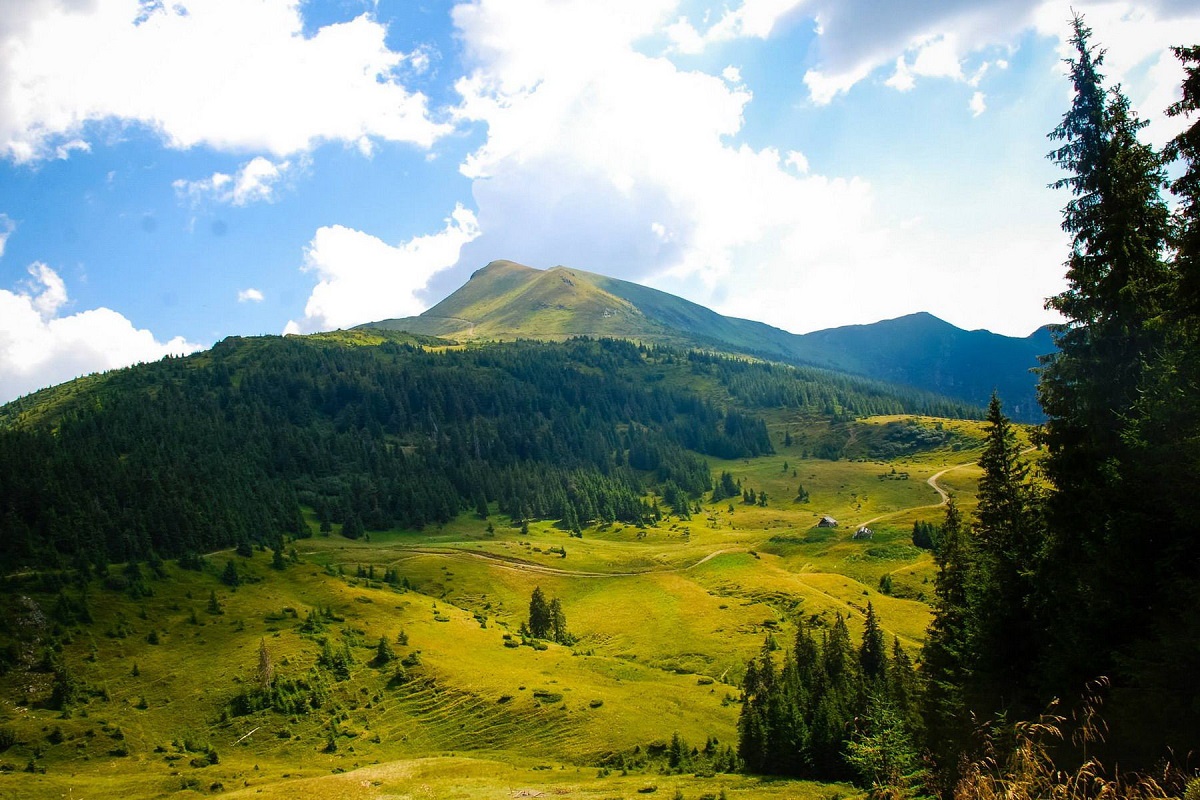
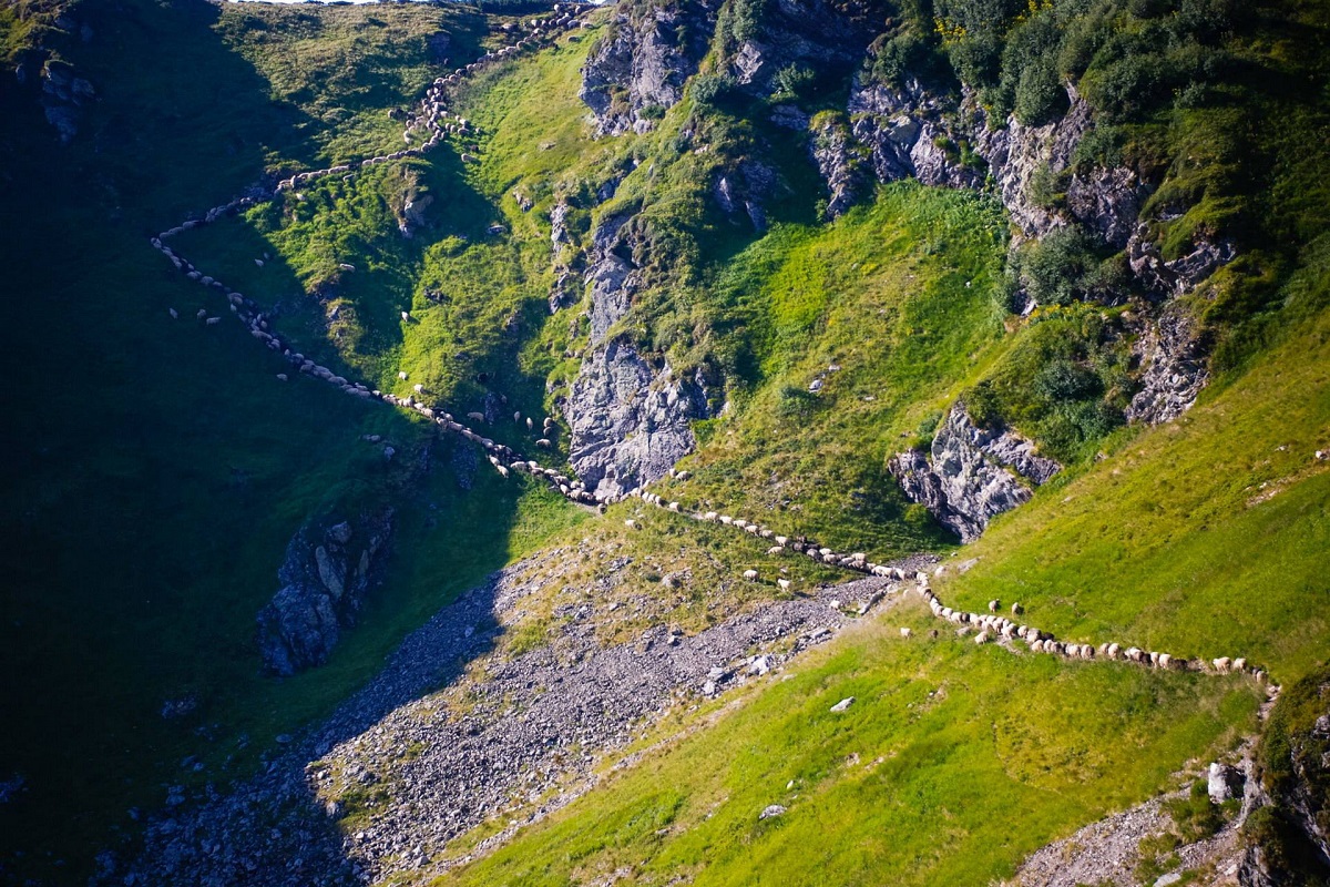
The Marmarosh Range is characterized by sharp elevation changes, sharp peaks and ridges, deep intermountain valleys, and very steep slopes. The lower part of the Marmaros slopes - on the northern side - is covered with dense coniferous forests, while on the south and west - mainly with mixed, broadleaf and coniferous forests. Above the forest boundaries, huge areas are occupied by meadows and crooked forests.
When is the best time to go to Marmarosy?
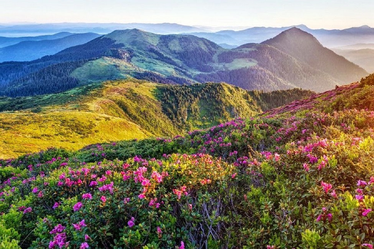
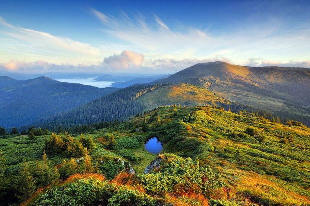
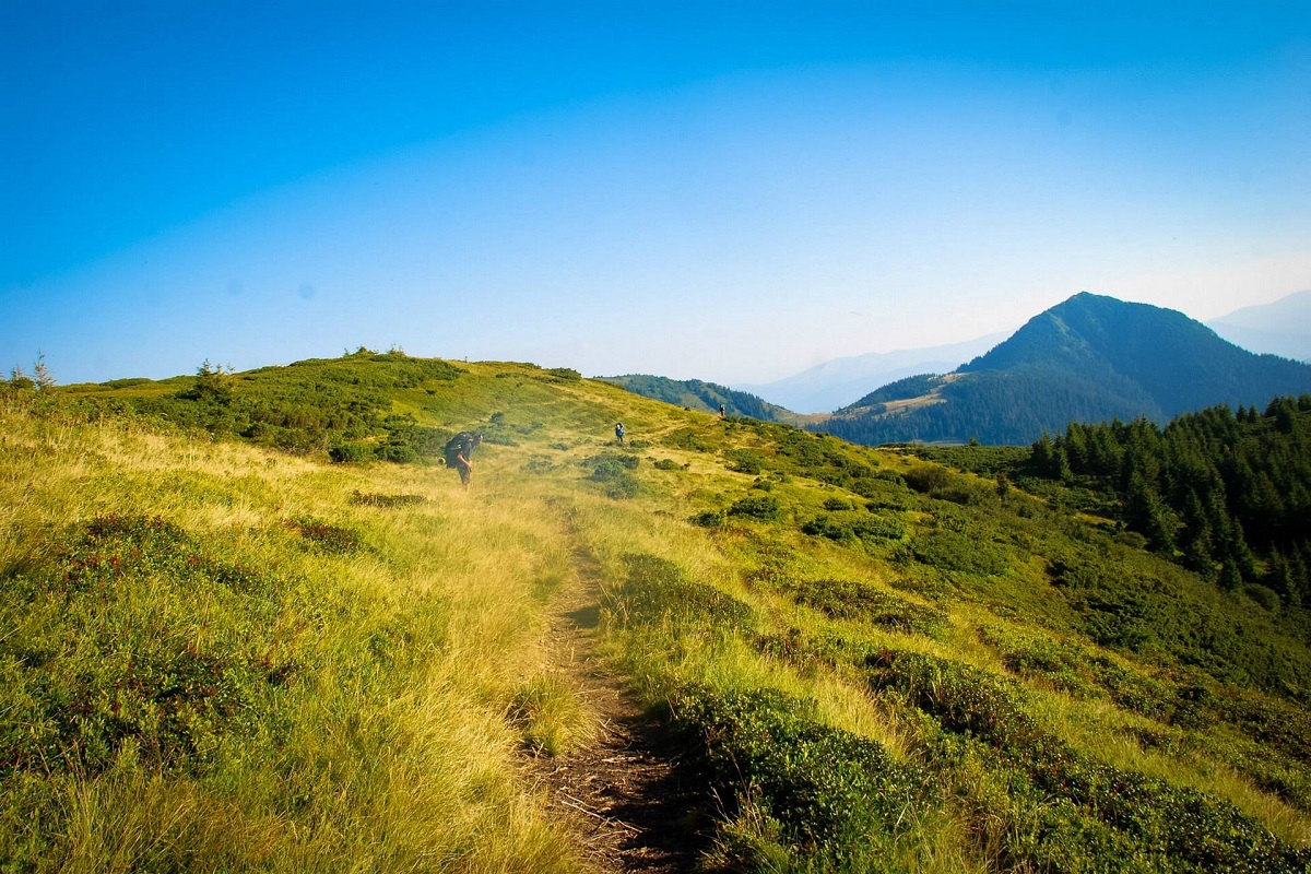
You can visit the Hutsul Alps at any time of the year, and each season is beautiful in its own way. However, most tourists prefer May-June, the time when the mountain slopes are covered first with purple crocuses, and then with red and crimson rhododendrons. The beauty is incredible!
So, June is the most optimal month for hiking on the Marmaros ridge. At this time of year, it's not too hot, everything around is in bloom, it's not snowing anymore. However, thunderstorms often occur in the Carpathians in the afternoon in June. So, keep an eye on the weather forecast and plan your ascent to the top in the morning if possible.
The most popular starting points for Marmarosa are the villages of Dilove (Zakarpattia region) and Yavirnyk (Shybene ) (Ivano-Frankivsk region).
Permit for hiking in the Marmarosy. How to get it?
Since the Marmarosy are located in the border zone, in order to travel through this area without any problems and without any obstacles from the border guards, tourists will need a permit, which is quite simple to obtain.
The whole procedure is as follows: having decided on the date of the hike, the group leader needs to submit a request to the commander of the Mukachevo border guard detachment (at least 24 hours before the date of the hike), where it is necessary to indicate the personal data of all participants. In addition to this, you will need to submit a route map, indicating the approximate start and end dates of the hike.
The request should be sent to [email protected].
Of course, the procedure may change slightly, so before sending a letter, we recommend that you additionally familiarize yourself with the conditions of stay in the border area on the website of the State Border Guard Service of Ukraine dpsu.gov.ua or clarify the information by calling 03-132-3-23-45 or 067-312-07-42 (Dilove village) or 03-131-2-12-61 (Mukachevo).
It is worth noting that you can get a permit (temporary pass) at the Border Guard Service department if you have a detailed map of the planned route (GPS navigators) and passports of all participants of the hike.

Follow the updates on our blog and subscribe to our Facebook page.