Mount Pip Ivan of Marmarosh


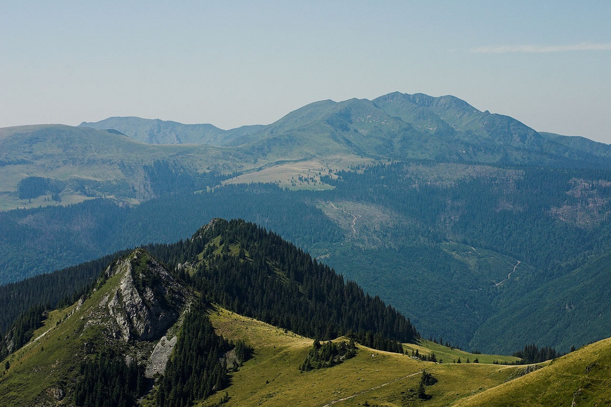
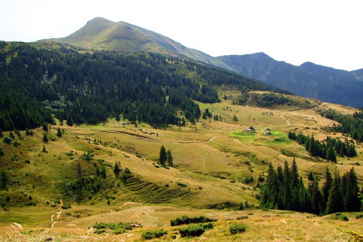
Pip Ivan of Marmarosh, 1936 meters high, is the highest peak of the Hutsul Alps, which are part of the Marmarosh mountain range of the majestic Ukrainian Carpathians. The mountain is located in the Carpathian Biosphere Reserve in the Rakhiv district of Zakarpattia region, on the border of Romania and Ukraine.
The peak of Pop Ivan Marmarosky is pyramidal with numerous rocky ledges, sharp ridges and steep slopes, especially in the northern and eastern directions. Tourists often camp near the top and make radial ascents without backpacks.
In the spring, especially after very snowy winters, numerous small lakes form around the mountain, which, it should be noted, are not marked on maps, as they completely evaporate with the arrival of summer.
Pip Ivan Marmarosky is such an "outstanding" peak in many senses of the word that together with the neighboring mountains(Berlebashka and Zherban) and highland meadows (the nearest one is Lysycha) it forms a separate mountain range - Mount Pip Ivan.
The nearest settlement from which people most often climb the mountain is the village of Dilove in Rakhiv district, Zakarpattia region.
The summit at a glance
- Elevation: 1936 m above sea level
- Range: Maramureș Mountains
- Nearest settlement: Dilove
- Routes over the summit on Karpaty.rocks: 37
- Best time: June–September; in winter only with experience and gear (avalanche danger is possible)
Border regime: the routes «Dilove – Pip Ivan» and «Stih – Mezhypotoky – Pip Ivan» are closed to tourists for the period of martial law by decision No. 30 of the Zakarpattia Oblast Defence Council (27.05.2022); the summit lies on the border with Romania. Check the rules with the 27th Border Guard Detachment (Mukachevo) before any hike in the Marmarosh range. How to get a border guard permit (in Ukrainian).
Routes to the summit
The routes over the summit most viewed by Karpaty.rocks readers. Length and ascent come from our track and a digital elevation model, time from Naismith's rule (without stops).
- Mount Pip Ivan Chornohirskyi, via Mount Stih and Mount Mala Nenieska to Mount Pip Ivan Marmaroskyi — 36.6 km, ascent 1,528 m, ≈11.5 h of walking
- Dilove village, via Mount Zherban and Mount Pip Ivan Marmaroskyi to Rakhiv — 31.3 km, ascent 1,812 m, ≈11 h of walking
- Dilove village – Mount Pip Ivan Marmaroskyi — 18 km, ascent 1,633 m, ≈7 h of walking
- Dilove village, via Mount Zherban and Mount Pip Ivan Marmaroskyi to Lysycha polonyna — 16.7 km, ascent 1,682 m, ≈7 h of walking
- Dilove village – Mount Pip Ivan Marmaroskyi – Dilove village — 32.2 km, ascent 1,513 m, ≈10.5 h of walking, loop
- Dilove village, via Lysycha polonyna to Mount Pip Ivan Marmaroskyi — 19.4 km, ascent 1,648 m, ≈7.5 h of walking
All routes over the summit (37)
Weather and safety
The summit is above the tree line: fog, strong wind and thunderstorms are possible even in summer, and the weather can change within hours. Check the forecast before you set off, take water, a rain jacket and a warm layer, and plan to reach the top before midday. Summit weather forecast.
In an emergency call 101 or 112. Carpathian mountain rescue contacts.
FAQ — Pip Ivan of Marmarosh
Pip Ivan of Marmarosh: how high is the summit?
It rises to 1936 m above sea level and belongs to the Maramureș Mountains range.
Pip Ivan of Marmarosh: how long does it take to reach the summit?
The shortest of the popular routes is “Dilove village – Mount Pip Ivan Marmaroskyi”: 18 km with 1,633 m of ascent, about 7 h of walking without stops. Allow extra time for rests, photos and the weather.
Pip Ivan of Marmarosh: when is the best time to go?
June to September, when the paths are free of snow. In winter the ascent is only for experienced hikers with avalanche gear and after checking the forecast.
Pip Ivan of Marmarosh: do I need a border guard permit?
Border regime: the routes «Dilove – Pip Ivan» and «Stih – Mezhypotoky – Pip Ivan» are closed to tourists for the period of martial law by decision No. 30 of the Zakarpattia Oblast Defence Council (27.05.2022); the summit lies on the border with Romania. Check the rules with the 27th Border Guard Detachment (Mukachevo) before any hike in the Marmarosh range. How to get a border guard permit (in Ukrainian).
Pip Ivan of Marmarosh: where to stay nearby?
The nearest settlement in our data is Dilove. Places to stay nearby: hotels, guesthouses and cottages.
Location on the map
Water and shelter nearby
- Spring below Mount Pip Ivan Marmaroskyi730 m · Not verified · 1 486 m
- Spring on Polonyna Lysycha (13)830 m · Not verified · 1 657 m
- Spring on Polonyna Lysycha (5)1.1 km · Not verified · 1 504 m
- Spring on Polonyna Lysycha (12)1.1 km · Not verified · 1 643 m
- Spring on Polonyna Lysycha (4)1.3 km · Not verified · 1 505 m
- Spring on Polonyna Lysycha (11)1.3 km · Not verified · 1 624 m
- Spring on Polonyna Lysycha (3)1.3 km · Not verified · 1 505 m
- Spring on Polonyna Lysycha (2)1.3 km · Not verified · 1 480 m
- Spring on Polonyna Lysycha (9)1.5 km · Not verified · 1 525 m
- Spring below Mount Zherban (5)1.5 km · Not verified · 1 568 m
- Spring on Polonyna Lysycha (7)1.6 km · Not verified · 1 475 m
- Hut on Polonyna Lysycha1.6 km · Not verified · 1 479 m
- Spring on Polonyna Lysycha (8)1.6 km · Not verified · 1 480 m
- Spring on Polonyna Lysycha (6)1.6 km · Not verified · 1 461 m
- Spring below Mount Zherban (4)1.7 km · Not verified · 1 429 m
- Drinking water below Mount Zherban1.7 km · Not verified · 1 423 m
Comments
Places to stay nearby
All stays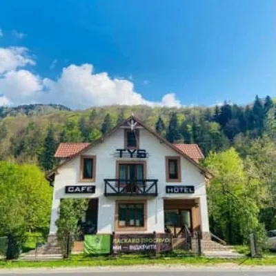 HotelTysRakhiv11 km from Mount Pip Ivan of MarmaroshBreakfastBBQParkingNearby: Polonyna Lysycha 9.8 kmMt Zherban 9.9 km37 trailsfrom 1 560 UAH per night
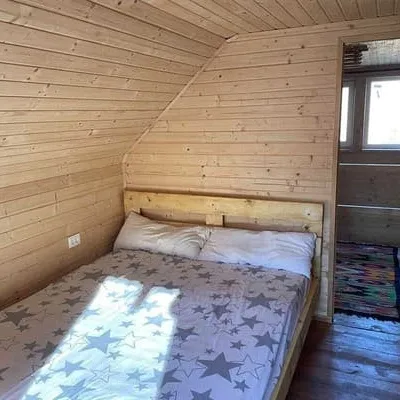 CottageZatyshokRakhiv15 km from Mount Pip Ivan of MarmaroshHot tubPoolBBQNearby: Church of St. John Nepomuk 3.9 kmMt Kobyla 6.5 km12 trailsfrom 7 200 UAH per night
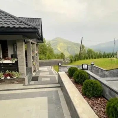 CottagePleshaRakhiv16 km from Mount Pip Ivan of MarmaroshHot tubPoolSaunaNearby: Church of St. John Nepomuk 3.4 kmMt Kobyla 6.0 km11 trailsfrom 13 800 UAH per night
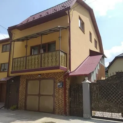 HotelCamelotRakhiv17 km from Mount Pip Ivan of MarmaroshParkingWi‑FiNearby: Church of St. John Nepomuk 500 mNyzhnyi Huk waterfall 7.3 km12 trailsfrom 800 UAH per night
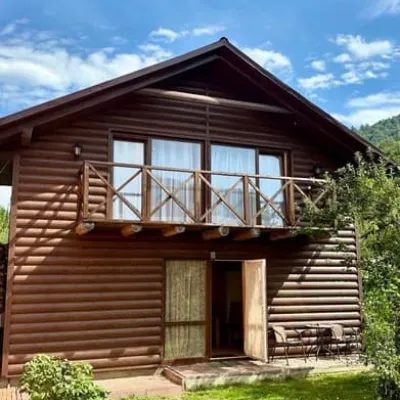 CottageBrendushkaRakhiv17 km from Mount Pip Ivan of MarmaroshSaunaBBQParkingNearby: Church of St. John Nepomuk 1.4 kmNyzhnyi Huk waterfall 8.2 km12 trailsfrom 1 700 UAH per night
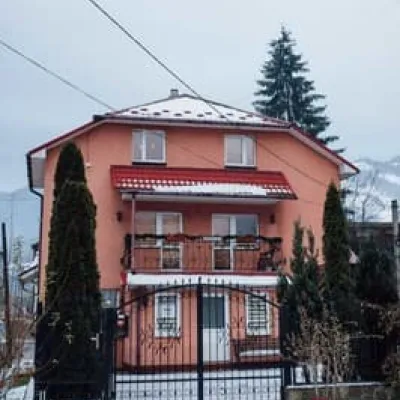 HotelMartaRakhiv17 km from Mount Pip Ivan of MarmaroshParkingWi‑FiPetsNearby: Church of St. John Nepomuk 300 mNyzhnyi Huk waterfall 7.2 km12 trailsfrom 1 000 UAH per night
Trails via Mount Pip Ivan of Marmarosh
All 37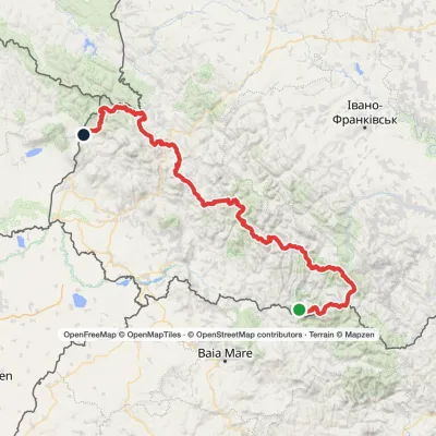 HardMulti-dayMarkedTranscarpathian Tourist TrailElevation profile202–2 061 m393.2 kmascent 17 790 m
 HardMulti-dayMarkedDilove village to the Vorokhta roadvia Mount Pip Ivan Marmaroskyi, Mount Pip Ivan Chornohirskyi +1Elevation profile346–2 035 m80.5 kmascent 3 787 m
 HardMulti-dayMarkedRakhiv to Iltsi villagevia Mount Pip Ivan Marmaroskyi, Mount Mika-Mare +1Elevation profile437–2 028 m88.2 kmascent 3 671 m
Nearby attractions
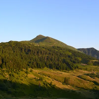 Mountain meadowPolonyna LysychaDilovealtitude 1 477 m1.3 km from Mount Pip Ivan of MarmaroshThe Lysycha valley is located on the Marmoroska ridge of the Carpathians. It is located in Rakhiv district of Zakarpattia region near the Ukrainian-Romanian border.
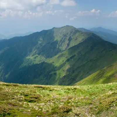 PeakMount ZherbanBohdanaltitude 1 795 m · Marmarosh range2.5 km from Mount Pip Ivan of Marmarosh10 trails to the topMount Zherban is a 1795-meter (according to other sources - 1793 m) peak of the Ukrainian Carpathians, which is located in the Hutsul Alps of the Marmara mountain range.
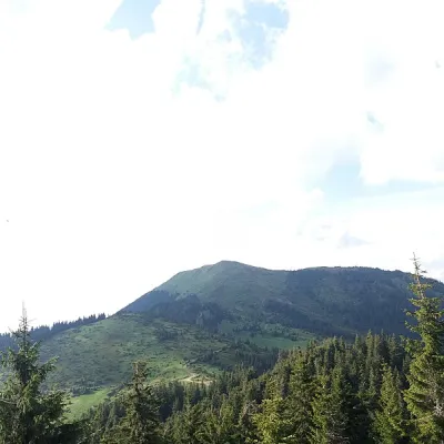 PeakBerlebashka MountainKostylivkaaltitude 1 734 m · Marmarosh range3.1 km from Mount Pip Ivan of Marmarosh25 trails to the topBerlebashka is a mountain in the Rakhiv Mountains (part of the Marmarosh Mountains). It is located in the south of Rakhiv district, Zakarpattia region, south of the...
Craft nearby
All craft places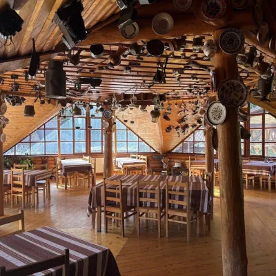 Koliby & Hutsul cuisineKolyba Museum, DiloveDilove11 km from Mount Pip Ivan of MarmaroshThe Kolyba Museum in Dilove is a timber restaurant serving Hutsul food right on the H09 highway, a few steps from the marker of the geographical centre of Europe in...
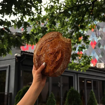 Craft producersDU-MEN craft bakery, RakhivRakhiv17 km from Mount Pip Ivan of MarmaroshDU-MEN (DU•MEN.craft bakery) is a craft bakery in Rakhiv which, in its own words, has been baking “bread with a history” for twelve years.
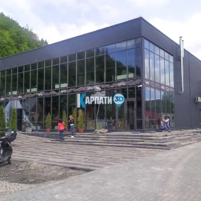 Craft beer & breweriesTsypa Brewery, KvasyKvasy25 km from Mount Pip Ivan of MarmaroshThe Tsypa Hutsul craft brewery in Kvasy is probably the best-known brewery in the Ukrainian Carpathians.
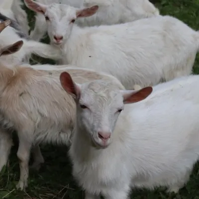 Eco farmsRozental Eco-Farm and Cheese Dairy, KvasyKvasy25 km from Mount Pip Ivan of MarmaroshBeer and cider are brewed here, sheep's-milk ice cream is made, and in the Vaskul area above the village sits the Rozental eco-farm and cheese dairy.
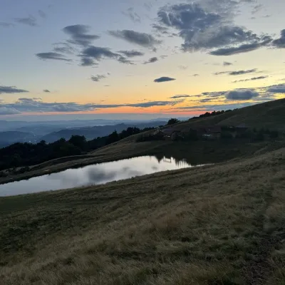 Cheese dairies & pasturesSheep's Cheese Masterclass on the Apetska Polonyna, VodytsiaVodytsia37 km from Mount Pip Ivan of MarmaroshThe Apetska polonyna is a broad high-mountain pasture on the southern slopes of the Svydovets range, below Mount Apetska (1,512 m).
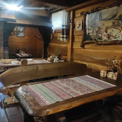 Koliby & Hutsul cuisineU Rizbaria Café, YasiniaYasinya39 km from Mount Pip Ivan of MarmaroshU Rizbaria Café (“At the Woodcarver’s”) in Yasinia is a small Hutsul place serving home cooking that travellers usually find by word of mouth.
