Dilove
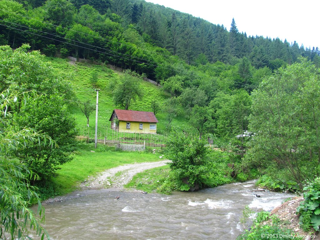
Business (Rus. Trebushany, Hungarian: Terebesfejérpatak, Slovak. Tribušany Biely Potok, Romanian. Tribusa Alba) is a village in Rakhiv district of Zakarpattia region (Ukraine). The village is located 190 km from the regional center of Uzhhorod and 140 km from Ivano-Frankivsk. The distance to the district center is about 18 km and is reached by the H09 highway.
To the east of the village is the highest in the Ukrainian Carpathians, Yalynskyi Waterfall, to the east of the village is the Weymouth Pine Forest Reserve, and to the southeast of the village is the Yew Berry Botanical Nature Monument of Local Importance.
A little bit of history
The village is mentioned in historical documents in the XVI century.
Until 1947, the village was called Trybushany, because (according to one of the local legends) three Bushany brothers lived here. In 1898, the official Hungarian name of the village was slightly changed from Trebusán (Trybushany or Trebushany) to Terebesfejérpatak (Terebes on the White Stream).
In the nineteenth century, iron ore was mined in the rocks of the Dovharun mountain in Trybushany. The ancient adits have been preserved to this day. In 1861, Kalman Kagan, a Jew from the neighboring town of Sigit (now Sighetul Marmatiei), built a glass-blowing plant.
Later, Poles, Czechs, Germans, Slovaks, and Italians came here to build the Trans-Carpathian railroad, many of whom settled here permanently. According to the 1935 census, 1000 Ukrainians, almost 300 Jews, 200 Hungarians, 60 Czechs, and 70 people of other nationalities lived in the village. The descendants of Italians-Coradini, Manfredi, Delizotti, and Buzi-live here to this day.
In the documents of the late nineteenth and early twentieth centuries, Trybushany is mentioned as a "village" ("nagyközseg" - a status close to a town) of the Tisza Dolina district (county) of the Maramoros committee of the Kingdom of Hungary. During this period, the village community used a seal with the image of an oak tree (the original stamp of this seal was recently found by local historian M. Tkach).
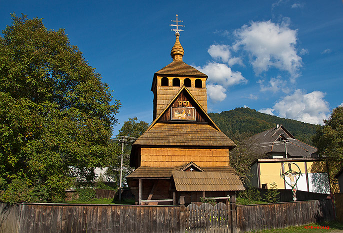
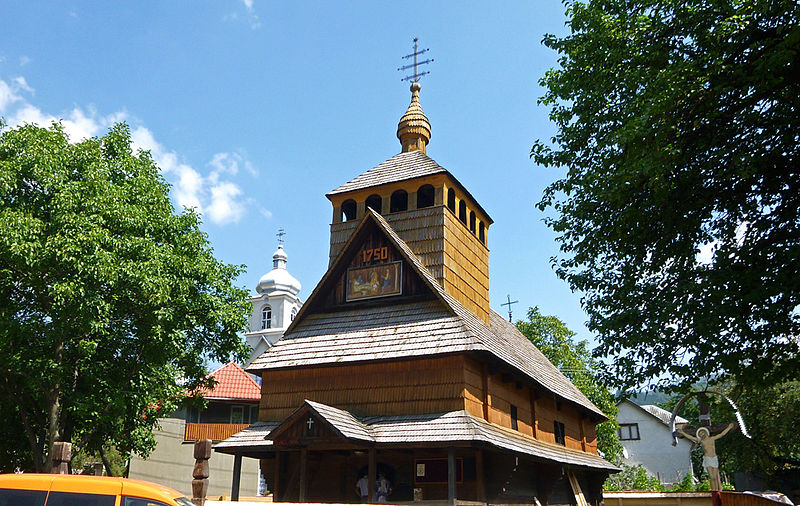
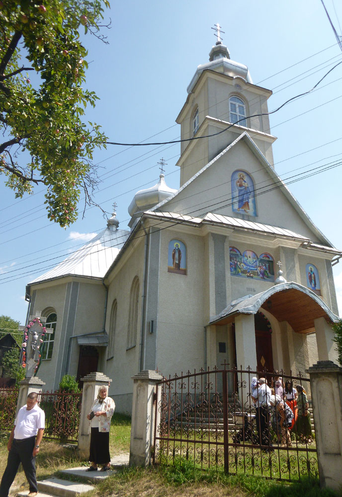
There are 4 churches in the village, including the Church of the Nativity of the Blessed Virgin Mary. There is a wooden church of the Assumption of the Blessed Virgin Mary, built in 1750. The villagers saved up money and recently restored the facade of the building.
The village has a bakery where bread is baked on coal, two pharmacies, a branch of the Oschadbank, a border outpost, an outpatient clinic, and forestry. Hiking and automobile tourist routes to Mount Pip Ivan begin here. Before heading to the mountains, you need to register at the border post, because beyond the mountain is Romanian territory.
Dilove is 50 meters from the Ukrainian-Romanian border. On the opposite bank of the Tisza River is the Ukrainian village of Vyshivska Dolyna (Valia Viseului) in the Sigit County of Romania (Maramures County). On the Romanian side, there is a checkpoint "Valia Viseului" (highway 185 in the direction of Sigot). The Rakhiv seismic station was built near the village.
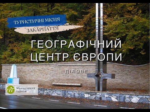
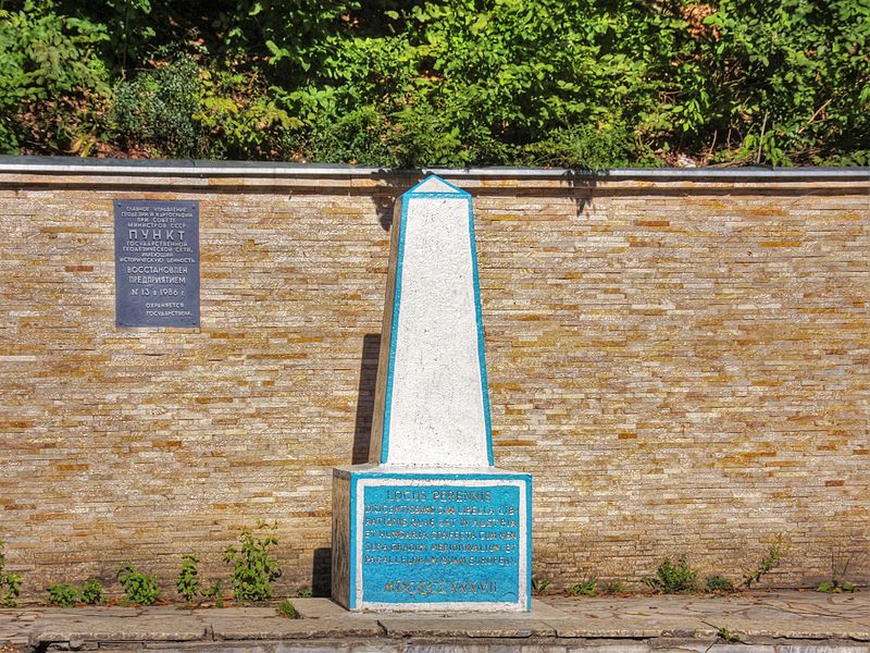
The geographical center of Europe is located in the Butyn tract. In 1887, a stone pillar was erected here with the following inscription in Latin: "Permanent, precise, eternal place. Very precisely, with a special device made in Austria-Hungary, the center of Europe is set on the scale of meridians and parallels. 1887". The approximately two-meter-high column is located on the side of the Lviv-Mukachevo highway. It is always full of tourists. There is a museum-hut nearby.
Transcarpathian tourist route (Rakhiv section)
The city of Rakhiv - the village of Dilove - Berlebashka meadow (Latundur, 1734 m ) - then the ascent: Mount Pip Ivan Marmarosky (1936 m), Mount Mezhypotoky (1713 m), Mount Stig (1653 m). Then the Gropa meadow (a place for recreation), Mount Pip Ivan Marmarosky (2028 m), Lake Brebeneskul (1801 m), Mount Hoverla (2061 m), Mount Petros (2020.2 m), descent to the village of Kvasy, then Mount Blyznytsia (or Bliznytsia - two neighboring mountains, 1883 m and 1872 m), Dragobrat tract, Lake Gerisashka (Dogyaska) - through the Dragobrat tract to Lake Gerisashka to the village of Ust-Chorna.
The route will include the following attractions:
- the border line between Ukraine and Romania on Mount Pip Ivan Marmarosky;
- the ruins of the Polish astronomical and meteorological observatory White Elephant on Mount Pip Ivan Chornohirsky;
- the border outpost in the village of Dilove (you should register here before the hike) and a two-meter high post installed in 1887 on the site of the geographical center of Europe.
Mountain Search and Rescue Service, 126 T. Shevchenko St., Rakhiv, +38 (03132) 2-10-13, +38 (096) 212-23-09.
What to visit
Landmarks, museums and places of interest near Dilove.
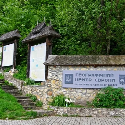 SightGeographical center of Europe, Businessunder 1 km from the centreIt is one of the main attractions of Transcarpathia, as the sign of the geographical center of Europe is installed in this place.
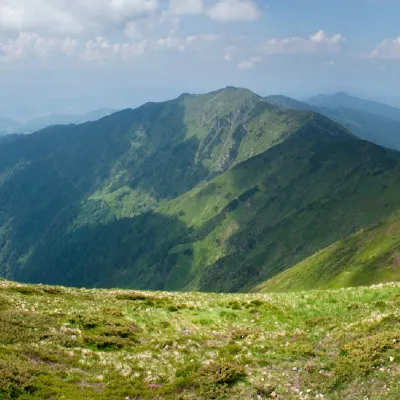 PeakMount Zherbanaltitude 1 795 m · Marmarosh range9.7 km from the centre10 trails to the topMount Zherban is a 1795-meter (according to other sources - 1793 m) peak of the Ukrainian Carpathians, which is located in the Hutsul Alps of the Marmara mountain range.
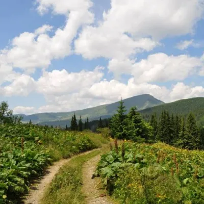 SightCarpathian Biosphere Reserve10 km from the centreThere are many interesting places in Ukraine, but the Carpathian Biosphere Reserve, which is located in the heart of the Carpathians, is undoubtedly worthy of special...
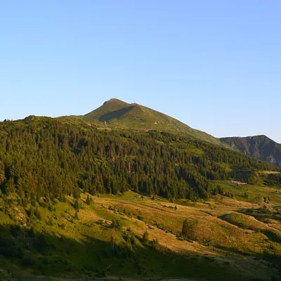 Mountain meadowPolonyna Lysychaaltitude 1 477 m11 km from the centreThe Lysycha valley is located on the Marmoroska ridge of the Carpathians. It is located in Rakhiv district of Zakarpattia region near the Ukrainian-Romanian border.
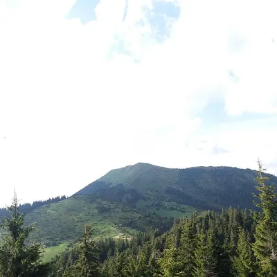 PeakBerlebashka Mountainaltitude 1 734 m · Marmarosh range11 km from the centre25 trails to the topBerlebashka is a mountain in the Rakhiv Mountains (part of the Marmarosh Mountains). It is located in the south of Rakhiv district, Zakarpattia region, south of the...
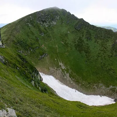 PeakMount Pip Ivan of Marmaroshaltitude 1 936 m11 km from the centre37 trails to the topPip Ivan of Marmarosh, 1936 meters high, is the highest peak of the Hutsul Alps, which are part of the Marmarosh mountain range of the majestic Ukrainian Carpathians.
Where to stay
Hotels, guesthouses and cottages in and around Dilove.
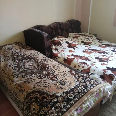 CottageHomestead "U Ivanky"25 km from the centreKitchenWi‑FiNearby: Mt Sheshul 7.1 kmNyzhnyi Huk waterfall 9.2 km44 trails
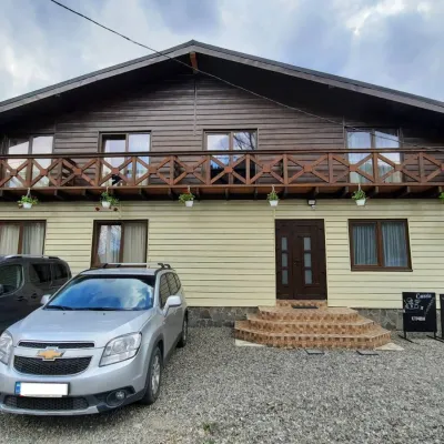 HotelCube (KUB)25 km from the centreBBQParkingWi‑FiNearby: Mt Sheshul 7.2 kmMt Bliznytsia 8.6 km44 trails
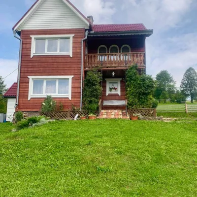 HomesteadGuest house "U Iryny"39 km from the centreWelcome to our cozy house located in the very heart of the Carpathians. This is the perfect place for those seeking solitude, harmony with nature, and to return home...Nearby: Strukivska Church 2.0 kmChurch of the Transfiguration 1.2 km40 trails
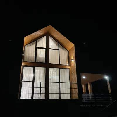 CottageArtMi42 km from the centreFireplaceKitchenParkingNearby: Church of the Transfiguration 2.8 kmStrukivska Church 5.7 km32 trails
 HotelHotel-Restaurant "Bukov'yan"47 km from the centreHotel-Restaurant "Bukov'yan" offers a cozy getaway in the Carpathians, far from the hustle and bustle of the city.Nearby: Kryvopillia Pass 800 mPolonyna Dil 2.4 km6 trails
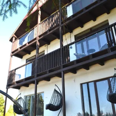 CottageApartments "Mayak". Cottage in the Carpathians with a view of the mountains47 km from the centreHot tubBBQKitchenNearby: Mt Khomiak 6.2 kmPolonyna Khomyakov 6.9 km9 trails
Trails nearby
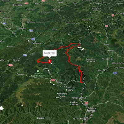 HardMulti-dayUnmarkedDilove village to Hoverla villagevia Mount Pip Ivan Marmaroskyi, Mount Chyvchyn +3Elevation profile317–2 020 m162.3 kmascent 5 379 munder 1 km from the centre
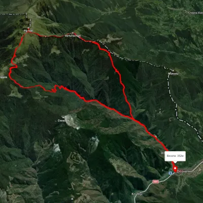 HardMulti-dayUnmarkedDilove village loopvia Mount Pip Ivan Marmaroskyi, Mount ZherbanElevation profile370–1 935 m50.5 kmascent 1 820 munder 1 km from the centre
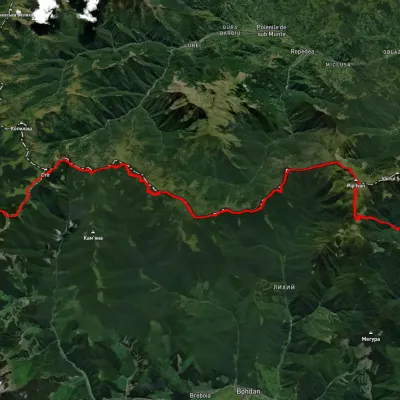 HardMulti-dayUnmarkedDilove village to Shybene villagevia Mount Pip Ivan Marmaroskyi, Mount Mika-Mare +1Elevation profile356–1 934 m66 kmascent 2 629 munder 1 km from the centre
Peaks nearby
PeakMount Zherbanaltitude 1 795 m · Marmarosh range9.7 km from the centre10 trails to the topMount Zherban is a 1795-meter (according to other sources - 1793 m) peak of the Ukrainian Carpathians, which is located in the Hutsul Alps of the Marmara mountain range.PeakBerlebashka Mountainaltitude 1 734 m · Marmarosh range11 km from the centre25 trails to the topBerlebashka is a mountain in the Rakhiv Mountains (part of the Marmarosh Mountains). It is located in the south of Rakhiv district, Zakarpattia region, south of the...PeakMount Pip Ivan of Marmaroshaltitude 1 936 m11 km from the centre37 trails to the topPip Ivan of Marmarosh, 1936 meters high, is the highest peak of the Hutsul Alps, which are part of the Marmarosh mountain range of the majestic Ukrainian Carpathians.What's nearby
Video