Polonyna Lysycha
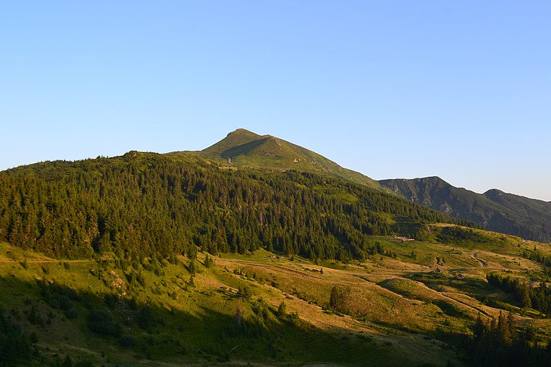
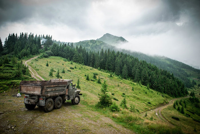
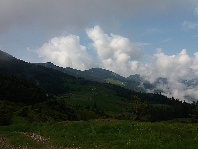
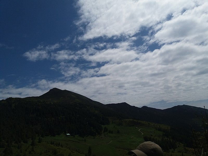
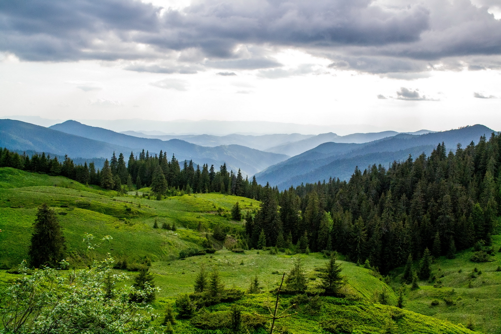
The Lysycha valley is located on the Marmoroska ridge of the Carpathians. It is located in Rakhiv district of Zakarpattia region near the Ukrainian-Romanian border.
The route to Mount Pip Ivan (Marmorosky) and Mount Petros (Marmorosky) is through Lysycha. The nearest settlement is the village of Dilove. A dirt road leads from it to the Lysycha meadow. Sheep are usually grazed in the meadow, and there are several water sources.
Shelter on the Lysycha meadow
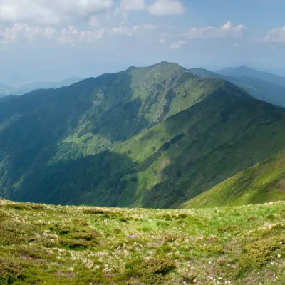
Another picturesque hut maintained by the Carpathian Biosphere Reserve and the Carpathian Trails Society. It is located in the upper part of the Lysycha valley and is popular among tourists in all seasons. Among its significant advantages is the presence of a stove and strategic location. The landscapes of the Marmaros, which are often called the Hutsul Alps, are indeed quite different from other ranges of the Ukrainian Carpathians. And the ridge got its name from the marble that is still mined here (on the way from Dilove village to Lysycha meadow, you will pass a quarry). The border between Ukraine and Romania runs along this ridge, so it can be a kind of a special feature of the hike - to walk along the border.
Location on the map
Comments
Places to stay nearby
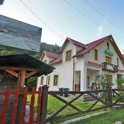 MotelMotel "Tys" Dilove9.8 km from Polonyna LysychaBBQParkingWi‑FiNearby: Mt Zherban 9.9 kmPolonyna Lysycha 9.8 km37 trails
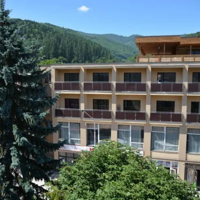 HotelHotel "Rakhiv"16 km from Polonyna LysychaWi‑FiPetsTransferNearby: Church of St. John Nepomuk 500 mNyzhnyi Huk waterfall 7.5 km12 trails
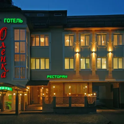 HotelHotel "Olenka" Rakhiv16 km from Polonyna LysychaKitchenParkingWi‑FiNearby: Church of St. John Nepomuk 400 mNyzhnyi Huk waterfall 7.4 km12 trails
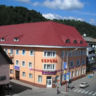 HotelHotel "Evropa" Rakhiv16 km from Polonyna LysychaSaunaParkingWi‑FiNearby: Church of St. John Nepomuk 300 mNyzhnyi Huk waterfall 7.3 km12 trails
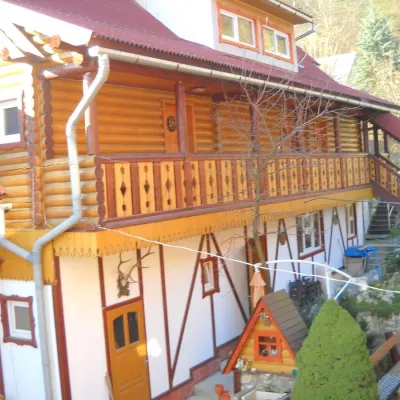 HotelHotel "Smerikova Khata" Rakhiv16 km from Polonyna LysychaBBQKitchenParkingNearby: Church of St. John Nepomuk 300 mNyzhnyi Huk waterfall 7.0 km12 trails
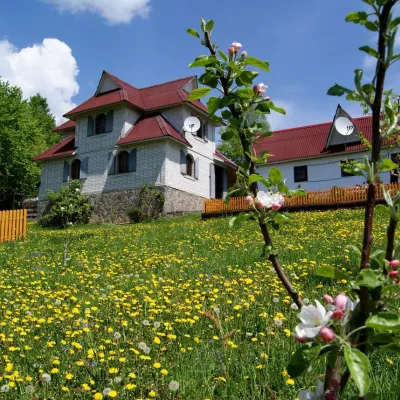 HotelHomestead "Rakhiv Play"16 km from Polonyna LysychaSaunaBBQKitchenNearby: Church of St. John Nepomuk 1.2 kmNyzhnyi Huk waterfall 6.1 km12 trails
Trails nearby
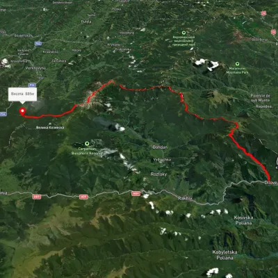 HardMulti-dayUnmarkedDilove village to the Vorokhta roadvia Mount Pip Ivan Marmaroskyi, Mount Pip Ivan Chornohirskyi +1Elevation profile328–2 024 m80.5 kmascent 3 876 munder 1 km from Polonyna Lysycha
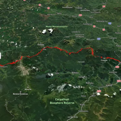 HardMulti-dayUnmarkedDilove village to Dzembronia villagevia Mount Pip Ivan Marmaroskyi, Mount Pip Ivan ChornohirskyiElevation profile356–2 015 m71.7 kmascent 3 720 munder 1 km from Polonyna Lysycha
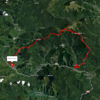 HardMulti-dayUnmarkedDilove village to Rakhivvia Mount Zherban, Mount Pip Ivan MarmaroskyiElevation profile340–1 871 m44.9 kmascent 2 247 munder 1 km from Polonyna Lysycha
Nearby attractions
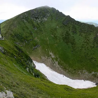 PeakMount Pip Ivan of Marmaroshaltitude 1 936 m1.3 km from Polonyna Lysycha37 trails to the topPip Ivan of Marmarosh, 1936 meters high, is the highest peak of the Hutsul Alps, which are part of the Marmarosh mountain range of the majestic Ukrainian Carpathians.
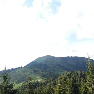 PeakBerlebashka Mountainaltitude 1 734 m · Marmarosh range1.7 km from Polonyna Lysycha25 trails to the topBerlebashka is a mountain in the Rakhiv Mountains (part of the Marmarosh Mountains). It is located in the south of Rakhiv district, Zakarpattia region, south of the...
 PeakMount Zherbanaltitude 1 795 m · Marmarosh range3 km from Polonyna Lysycha10 trails to the topMount Zherban is a 1795-meter (according to other sources - 1793 m) peak of the Ukrainian Carpathians, which is located in the Hutsul Alps of the Marmara mountain range.