Geographical centre of Europe, Dilove
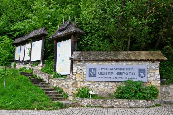
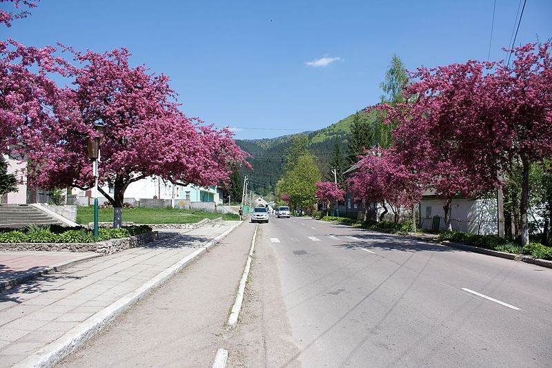
Dilove village is located in Rakhiv district. It is one of the main attractions of Transcarpathia, as the sign of the geographical center of Europe is installed in this place.
History of the memorial sign installation
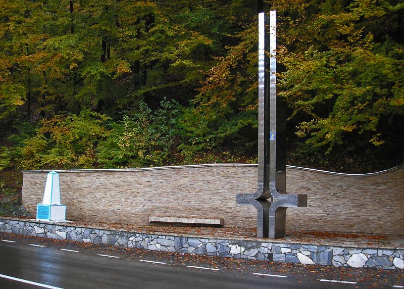
In 1885-1887, geographers from the Imperial Royal Military Geographical Institute of Austria-Hungary conducted geodetic surveys in the territory of the modern Zakarpattia region, during which they managed to accurately determine the latitude and longitude of the village of Dilove. They decided to immortalize their discovery with a stone monument, where they carved an inscription in Latin with the coordinates and the year of discovery: 47°57′ N, 24°11′ E, 1887. People believed that the explorers had discovered the coordinates of the center of Europe, and the sign was erected in honor of this discovery. In the 1970s, in order to finally secure this respectable status for Dilove, a new one, a metal stele over seven meters high, was unveiled next to the stone sign. Both monuments still stand in Dilove today.
Location on the map
Comments
Places to stay nearby
All stays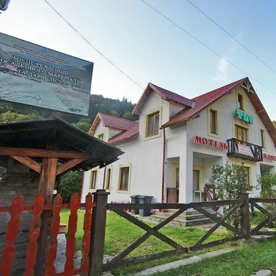 MotelMotel "Tys" DiloveDilove3.5 km from Geographical centre of Europe, DiloveBBQParkingWi‑FiNearby: Polonyna Lysycha 9.8 kmMt Zherban 9.9 km37 trails
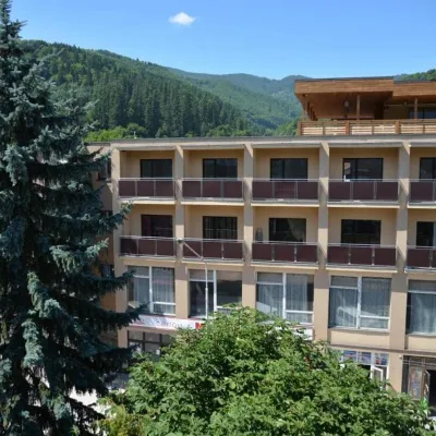 HotelHotel "Rakhiv"Rakhiv13 km from Geographical centre of Europe, DiloveWi‑FiPetsTransferNearby: Church of St. John Nepomuk 500 mNyzhnyi Huk waterfall 7.5 km12 trails
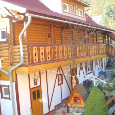 HotelHotel "Smerikova Khata" RakhivRakhiv14 km from Geographical centre of Europe, DiloveBBQKitchenParkingNearby: Church of St. John Nepomuk 300 mNyzhnyi Huk waterfall 7.0 km12 trails
 HotelComplex "Kvasny"Kobyletska Poliana14 km from Geographical centre of Europe, DiloveSauna
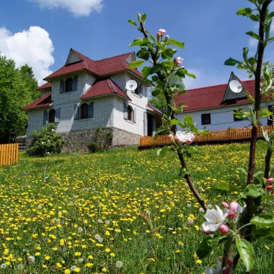 HotelHomestead "Rakhiv Play"Rakhiv14 km from Geographical centre of Europe, DiloveSaunaBBQKitchenNearby: Church of St. John Nepomuk 1.2 kmNyzhnyi Huk waterfall 6.1 km12 trails
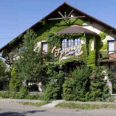 HotelHotel "Grand"Velykyi Bychkiv15 km from Geographical centre of Europe, DilovePoolSaunaBBQ
Trails nearby
All trails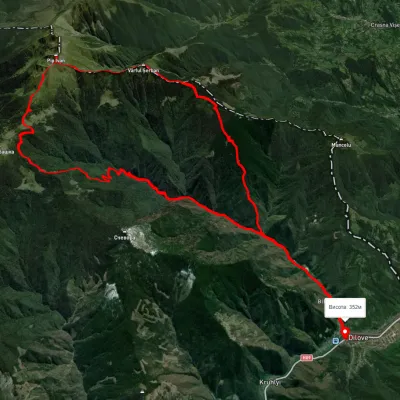 HardMulti-dayUnmarkedDilove village loopvia Mount Pip Ivan Marmaroskyi, Mount ZherbanElevation profile370–1 935 m50.5 kmascent 1 820 munder 1 km from Geographical centre of Europe, Dilove
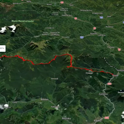 HardMulti-dayUnmarkedDilove village to Mount Stihvia Mount Pip Ivan Marmaroskyi, Mount Mika-Mare +1Elevation profile358–1 923 m45.1 kmascent 3 537 munder 1 km from Geographical centre of Europe, Dilove
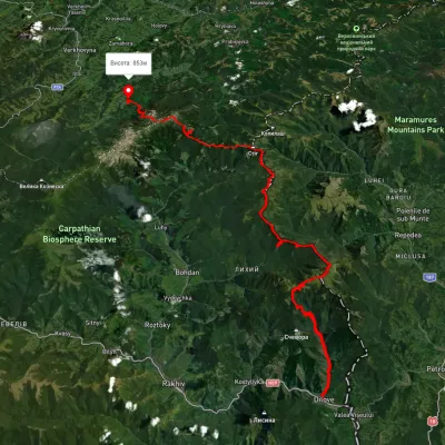 HardMulti-dayUnmarkedDilove village to Dzembronia villagevia Mount Pip Ivan Marmaroskyi, Mount Pip Ivan ChornohirskyiElevation profile343–2 001 m85.6 kmascent 3 963 munder 1 km from Geographical centre of Europe, Dilove
Nearby attractions
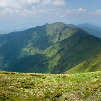 PeakMount ZherbanBohdanaltitude 1 795 m · Marmarosh range9.7 km from Geographical centre of Europe, Dilove10 trails to the topMount Zherban is a 1795-meter (according to other sources - 1793 m) peak of the Ukrainian Carpathians, which is located in the Hutsul Alps of the Marmara mountain range.
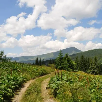 SightCarpathian Biosphere ReserveRakhiv10 km from Geographical centre of Europe, DiloveThere are many interesting places in Ukraine, but the Carpathian Biosphere Reserve, which is located in the heart of the Carpathians, is undoubtedly worthy of special...
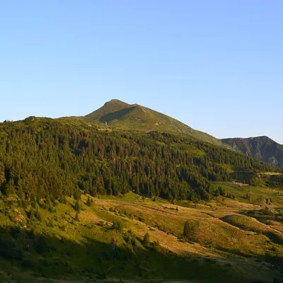 Mountain meadowPolonyna LysychaDilovealtitude 1 477 m11 km from Geographical centre of Europe, DiloveThe Lysycha valley is located on the Marmoroska ridge of the Carpathians. It is located in Rakhiv district of Zakarpattia region near the Ukrainian-Romanian border.