Mount Zherban


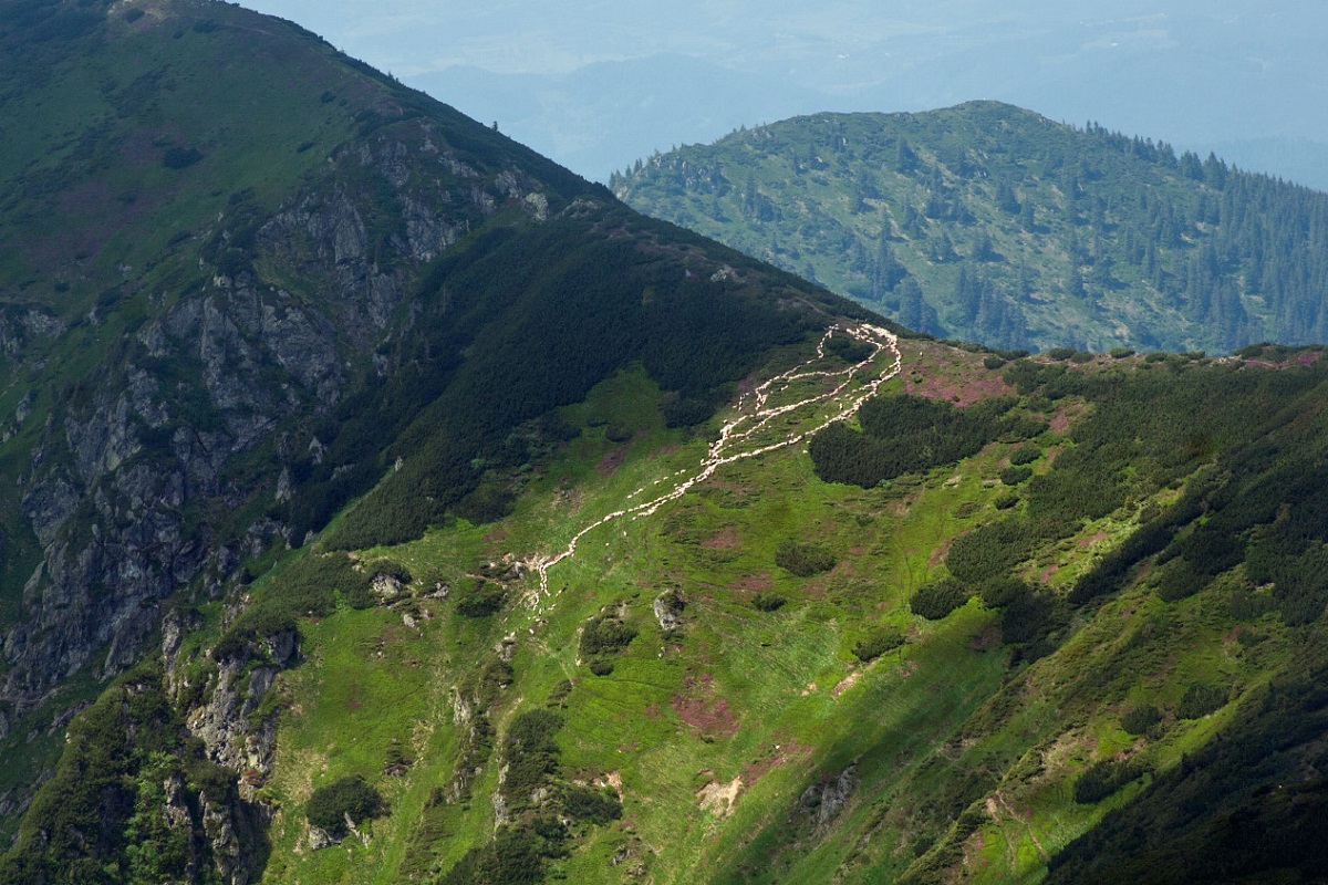
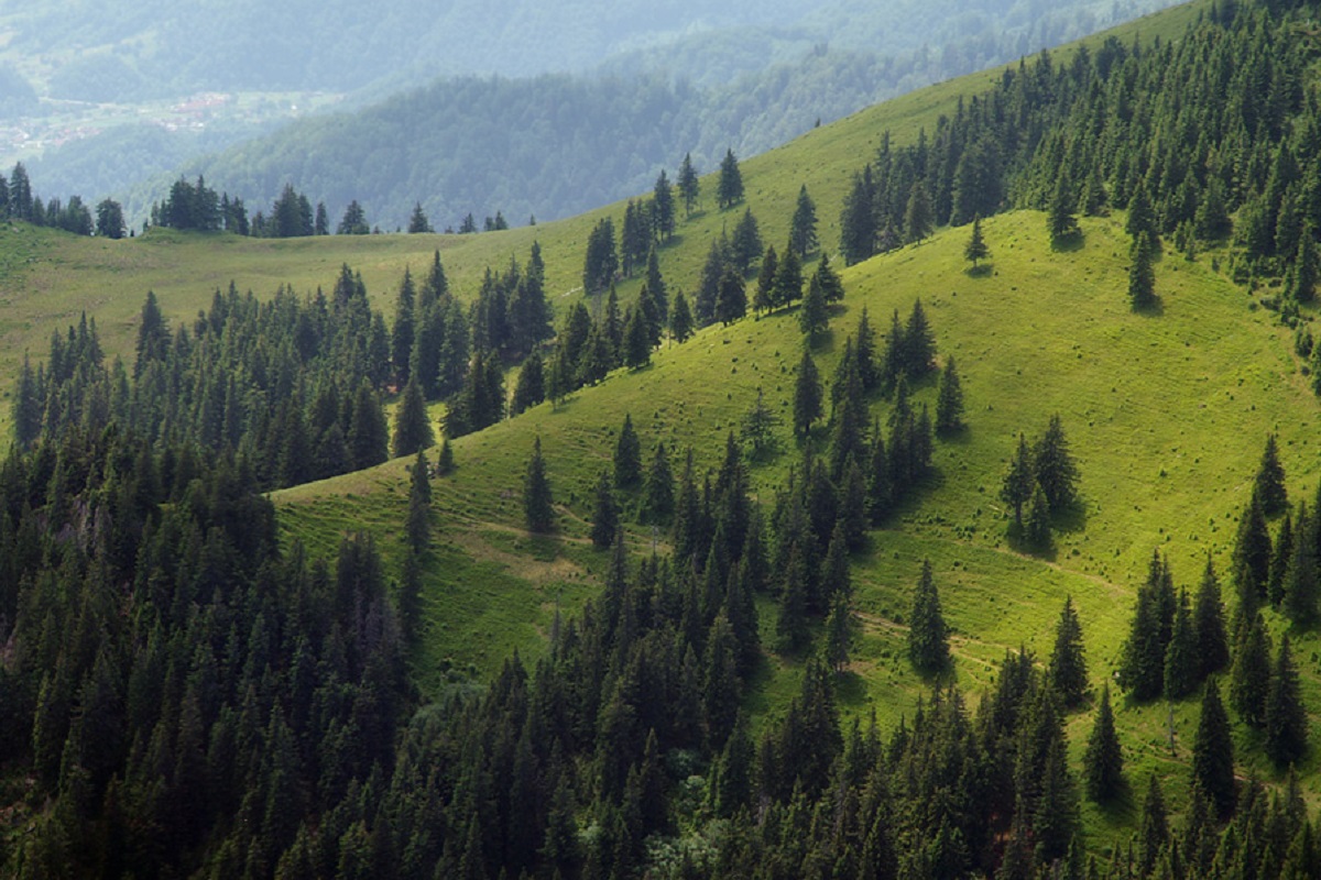
Mount Zherban is a 1795-meter (according to other sources - 1793 m) peak of the Ukrainian Carpathians, which is located in the Hutsul Alps of the Marmara mountain range. It is located in the Rakhiv district of Zakarpattia region on the Ukrainian-Romanian border.
There are also other names for the peak - "Zherbin", "Shcherban", "Shcherbyn". The presence of so many names for one mountain is not accidental. The close proximity of Romania and the rather complicated history of this Carpathian region are evident: in different years, maps of this place were published by departments of different countries, which, in fact, named the mountain in their own way.
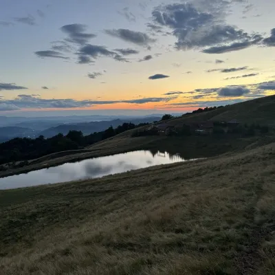
Up to an altitude of 1400-1500 meters, the slopes of the peak are covered with dense forests, and above that - with alpine and subalpine vegetation typical for the region, thickets of alpine pine (pine) and stone scree.
To the northeast of Zherban is the mountain Pip Ivan Marmaroskyi.
The nearest settlement is the village of Bohdan in Zakarpattia region.
Location on the map
Water and shelter nearby
- Spring below Mount Zherban (3)670 m · Not verified · 1 521 m
- Spring below Mount Zherban (5)1.1 km · Not verified · 1 568 m
- Spring below Mount Zherban (4)1.4 km · Not verified · 1 429 m
- Hut on Polonyna Strungy1.4 km · Standing · 1 421 m
- Drinking water below Mount Zherban1.5 km · Not verified · 1 423 m
- Spring below Mount Zherban (2)2.1 km · Not verified · 1 356 m
- Spring below Mount Pip Ivan Marmaroskyi2.1 km · Not verified · 1 486 m
- Spring below Mount Zherban2.2 km · Not verified · 1 330 m
- Mountain shelter “Stuhna”2.2 km · Not verified · 1 384 m
- Spring (Kruhlyi, 20)2.7 km · Not verified · 986 m
- Spring on Polonyna Lysycha (5)2.9 km · Not verified · 1 504 m
- Spring on Polonyna Lysycha (2)3 km · Not verified · 1 480 m
Comments
Places to stay nearby
All stays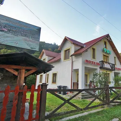 MotelMotel "Tys" DiloveDilove9.9 km from Mount ZherbanBBQParkingWi‑FiNearby: Polonyna Lysycha 9.8 kmMt Zherban 9.9 km37 trails
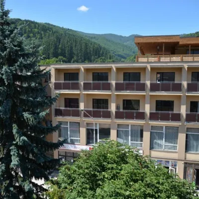 HotelHotel "Rakhiv"Rakhiv17 km from Mount ZherbanWi‑FiPetsTransferNearby: Church of St. John Nepomuk 500 mNyzhnyi Huk waterfall 7.5 km12 trails
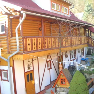 HotelHotel "Smerikova Khata" RakhivRakhiv18 km from Mount ZherbanBBQKitchenParkingNearby: Church of St. John Nepomuk 300 mNyzhnyi Huk waterfall 7.0 km12 trails
Trails via Mount Zherban
All 10 HardMulti-dayDilove village to Yablunytsia villagevia Mount Pip Ivan Marmaroskyi, Mount Hoverla +4Elevation profile346–2 035 m156.7 kmascent 9 949 m
 HardMulti-dayDilove village to Rakhivvia Mount Zherban, Mount Pip Ivan MarmaroskyiElevation profile437–1 936 m31.3 kmascent 1 849 m≈ 11.5 h walking
 HardMulti-dayDilove village, Mount Pip Ivan Marmaroskyi, Mount Pip Ivan Chornohirskyi, Mount Hoverla and Mount Petros to Kvasy villageElevation profile346–2 035 m91.1 kmascent 5 806 m
Nearby attractions
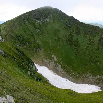 PeakMount Pip Ivan of MarmaroshDilovealtitude 1 936 m2.5 km from Mount Zherban37 trails to the topPip Ivan of Marmarosh, 1936 meters high, is the highest peak of the Hutsul Alps, which are part of the Marmarosh mountain range of the majestic Ukrainian Carpathians.
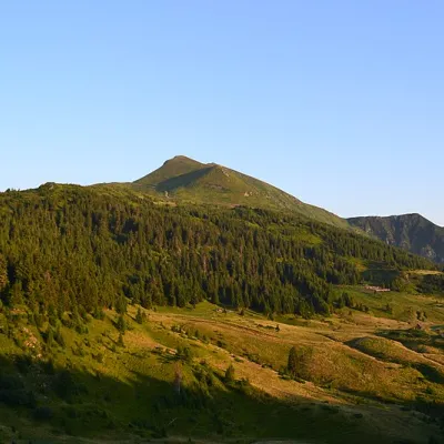 Mountain meadowPolonyna LysychaDilovealtitude 1 477 m3 km from Mount ZherbanThe Lysycha valley is located on the Marmoroska ridge of the Carpathians. It is located in Rakhiv district of Zakarpattia region near the Ukrainian-Romanian border.
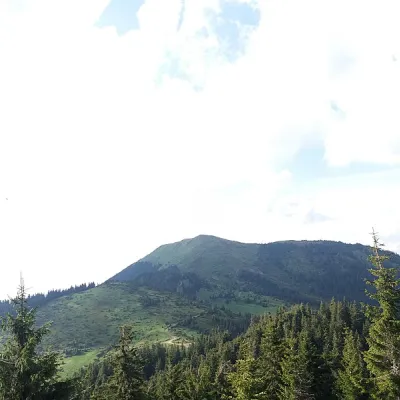 PeakBerlebashka MountainKostylivkaaltitude 1 734 m · Marmarosh range4.8 km from Mount Zherban25 trails to the topBerlebashka is a mountain in the Rakhiv Mountains (part of the Marmarosh Mountains). It is located in the south of Rakhiv district, Zakarpattia region, south of the...
Craft nearby
All craft places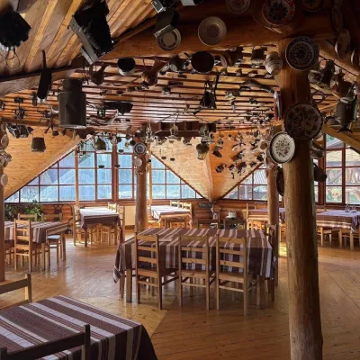 Koliby & Hutsul cuisineKolyba Museum, DiloveDilove10 km from Mount ZherbanThe Kolyba Museum in Dilove is a timber restaurant serving Hutsul food right on the H09 highway, a few steps from the marker of the geographical centre of Europe in...
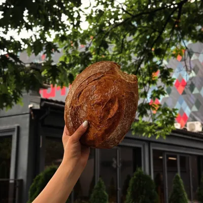 Craft producersDU-MEN craft bakery, RakhivRakhiv17 km from Mount ZherbanDU-MEN (DU•MEN.craft bakery) is a craft bakery in Rakhiv which, in its own words, has been baking “bread with a history” for twelve years.
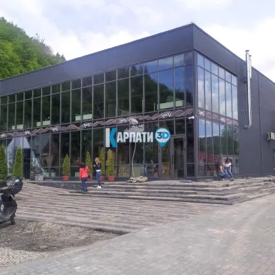 Craft beer & breweriesTsypa Brewery, KvasyKvasy27 km from Mount ZherbanThe Tsypa Hutsul craft brewery in Kvasy is probably the best-known brewery in the Ukrainian Carpathians.
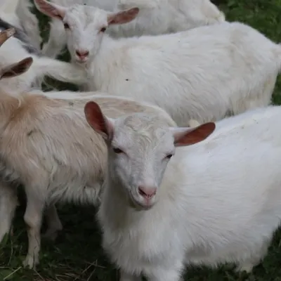 Eco farmsRozental Eco-Farm and Cheese Dairy, KvasyKvasy27 km from Mount ZherbanBeer and cider are brewed here, sheep's-milk ice cream is made, and in the Vaskul area above the village sits the Rozental eco-farm and cheese dairy.
 Cheese dairies & pasturesSheep's Cheese Masterclass on the Apetska Polonyna, VodytsiaVodytsia37 km from Mount ZherbanThe Apetska polonyna is a broad high-mountain pasture on the southern slopes of the Svydovets range, below Mount Apetska (1,512 m).
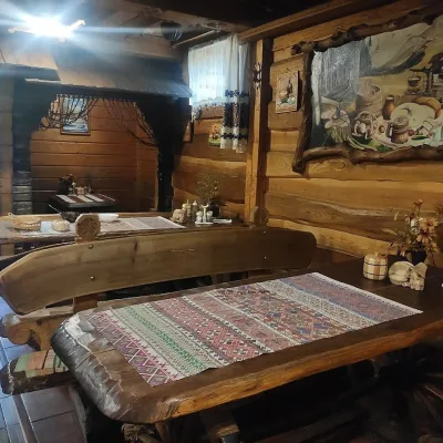 Koliby & Hutsul cuisineU Rizbaria Café, YasiniaYasinya40 km from Mount ZherbanU Rizbaria Café (“At the Woodcarver’s”) in Yasinia is a small Hutsul place serving home cooking that travellers usually find by word of mouth.
