Mount Stig
Mount Stih is the peak of the Ukrainian Carpathians of the incredibly beautiful Marmarosh mountain range, which lies on the border of the Chyvchyn Mountains and the Hutsul Alps (Rakhiv Mountains). It is located at the junction of Ivano-Frankivsk and Zakarpattia regions, southeast of the village of Luhy in Rakhiv district and southwest of the village of Zelene in Verkhovyna district.
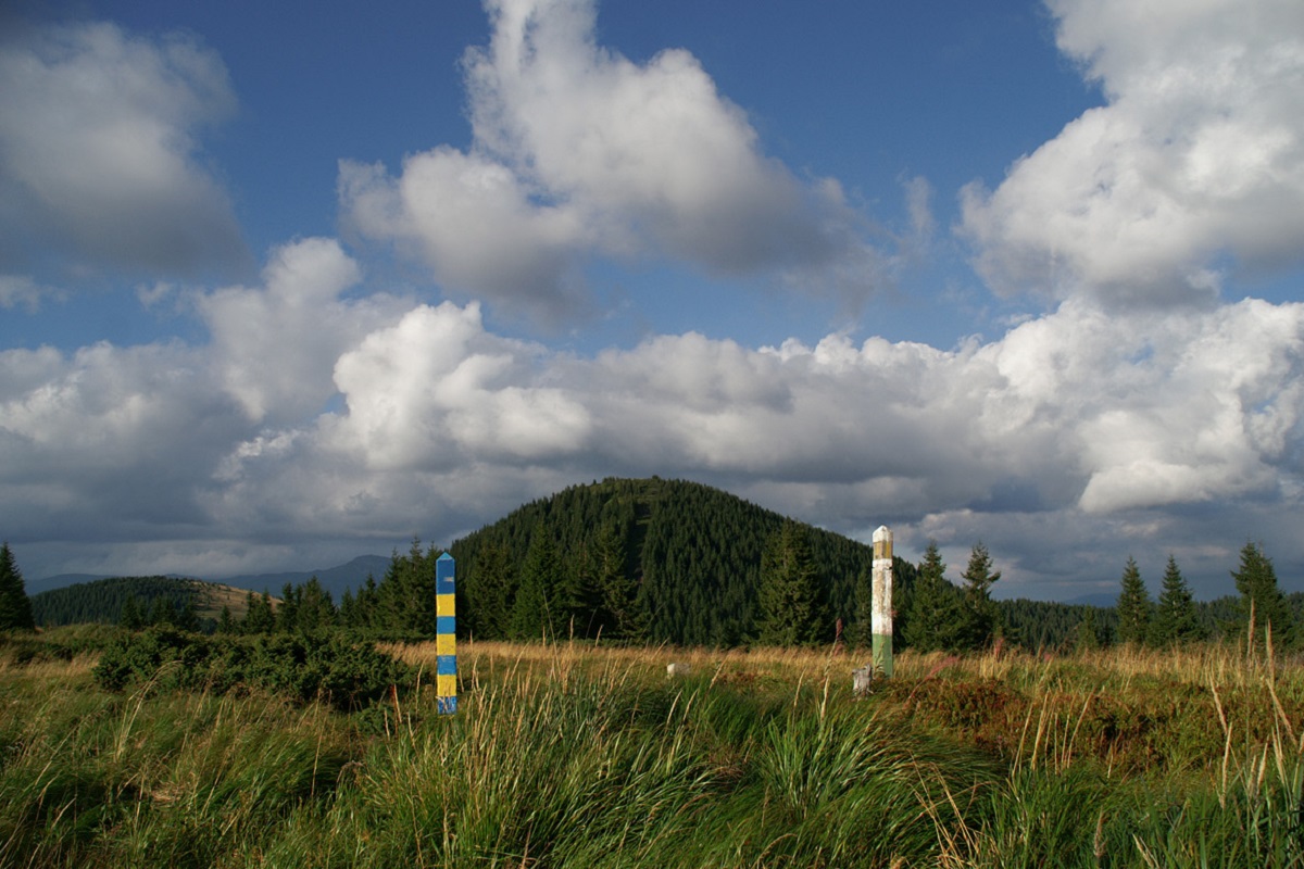
The southern part of Stog is already the territory of Romania.
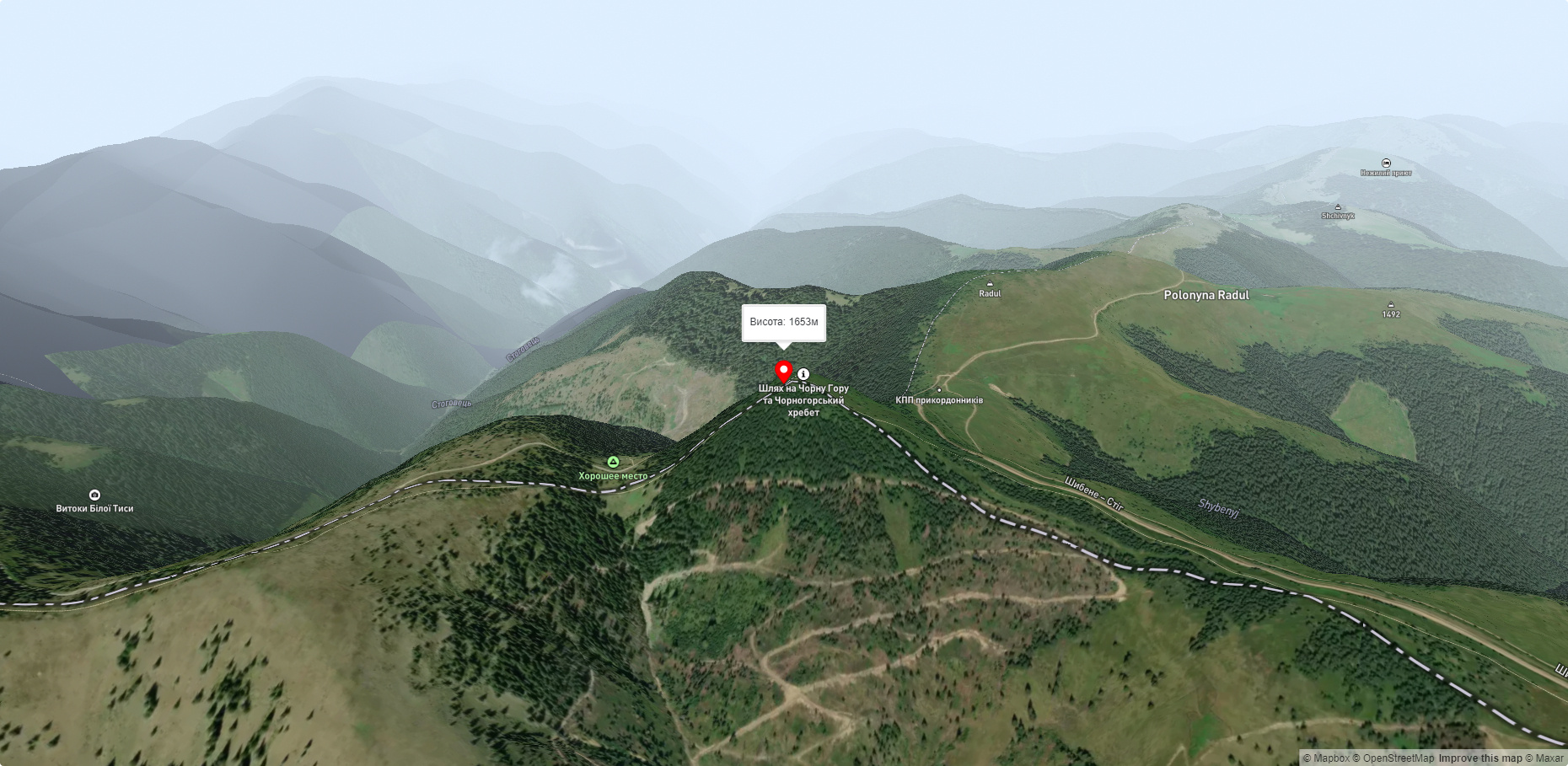
The height is 1653 meters.
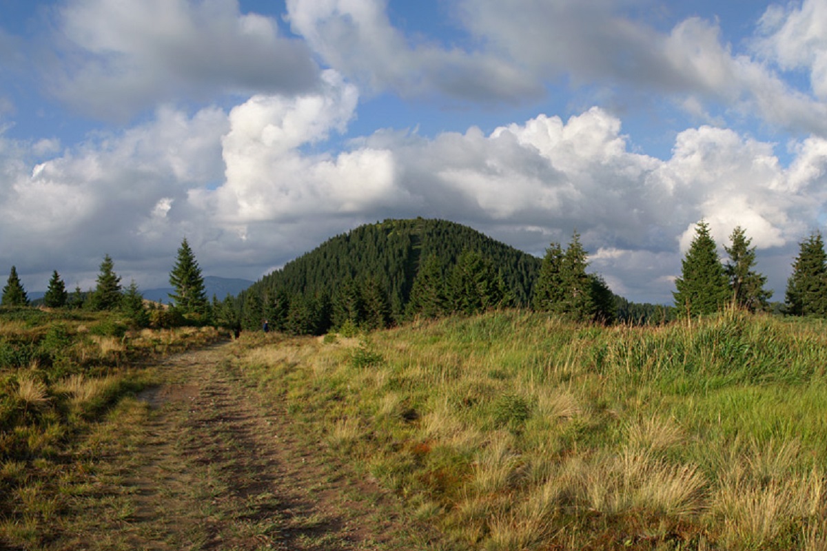
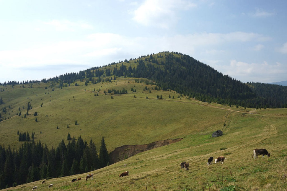
The top part of the mountain is smoothed out, completely covered with shrubs and alpine and subalpine grass vegetation, with some juniper and crooked woodland.
To the north of Stog is a ridge with Mount Shchavnyk and Mount Vykhod, which is the route to one of the most popular peaks of the Chornohora mountain range, Mount Pip Ivan. The Hutsul Alps stretch to the west of Mount Stih, and the Chyvchyny Mountains to the southeast.
The nearest settlement is the village of Luhy, Rakhiv district, Zakarpattia region.
Accommodation around Mount Stig:


Nearby hiking trails near Mount Stig:
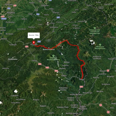
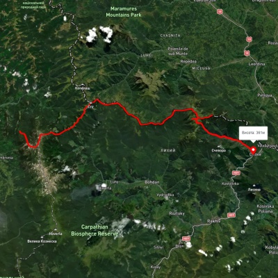
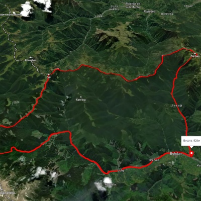
Які маршрути проходять повз Mount Stig?
Пропонуємо пройти такі туристичні (пішохідні) маршрути через/біля Mount Stig: с. Ділове, через г. Піп Іван Мармароський, г. Піп Іван Чорногірський, г. Говерла, г. Кукул до смт. Ворохта, г. Стайки, через г. Піп Іван Чорногірський, г. Стіг, г. Піп Іван Мармароський до с. Ділове, с. Богдан, через г. Піп Іван Мармароський, г. Міка-Маре, г. Піп Іван Чорногірський, с. Луги до с. Богдан, с. Ділове, через г. Піп Іван Мармароський, г. Міка-Маре, г. Піп Іван Чорногірський до г. Говерла, с. Ділове, через г. Піп Іван Мармароськй, г. Чивчин, с. Шибене, г. Піп Іван Чорногірський, г. Говерла до с. Говерла, с. Ділове, через г. Піп Іван Мармароський, г. Піп Іван Чорногірський, г. Вухатий Камінь до с. Дземброня