Mount Palenica
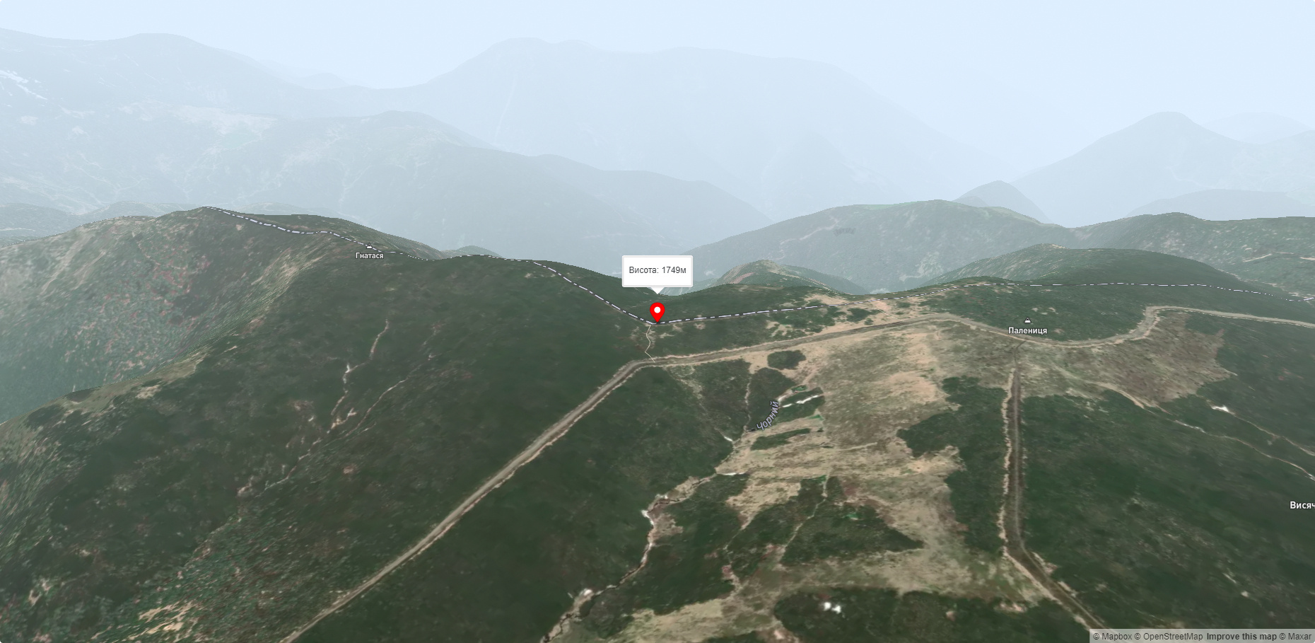
Palenytsia is a 1749-meter peak (according to other information, the height of the mountain reaches 1758 m) of the Ukrainian Carpathians, which is located in the southeastern part of the main ridge of the Chyvchyna mountain range(Ukrainian Marmara).
It is located in the south of the Verkhovyna district of Ivano-Frankivsk region, southeast of the village of Burkut and southwest of the village of Nyzhniy Yalovets.
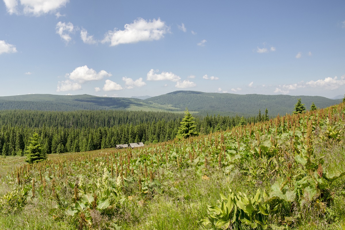
Palenytsia Mountain is quite massive, with a wide flat top covered with small shrubs and grasses.
The southwestern slopes of the peak are very steep and difficult to access, while the northeastern slopes are much gentler, smoothly turning into a ridge that extends northward to the Mount Palenytsia. Pryluchne with its eponymous peak, Mount Pryluchna.
To the southeast of Palenytsia is Mount Hnatasya, and to the northwest is Mount Komanova.
The nearest settlement is the village of Nyzhniy Yalovets , Putyliv district , Chernivtsi region.
Nearby hiking trails near Mount Palenica:
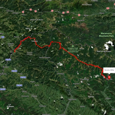
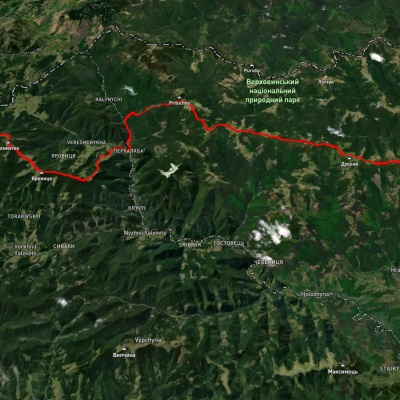
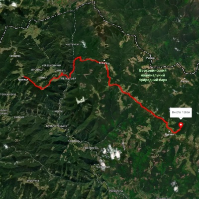
Which trails pass by Mount Palenica?
We suggest these hiking trails through or near Mount Palenica: Shepit village, via Mount Yarovytsia, Mount Pnivie and Mount Masnyi Pryslip to Shybene village, Shepit village, via Mount Yarovytsia, Mount Pnivie and Mount Tarnytsia to Probiinivka village, Mount Yarovytsia, via the Pryluchnyi ridge and Mount Pnivie to the Holy Trinity Monastery, Probiinivka village, via Mount Tarnytsia, Mount Pnivie and Mount Chyvchyn to Shybene village, Pirye – Cheremosh – Paukivka, Perkalaba – Mount Tomnatyk