Mount Lostun
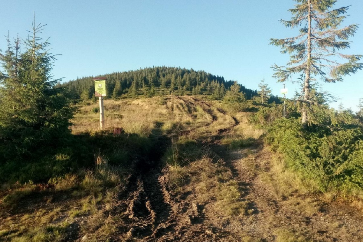
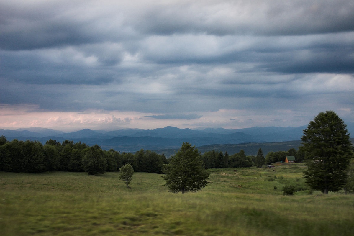
Mount Lostun is a 1,654-meter peak in the Ukrainian Carpathians, which is located on the territory of the Marmarosh mountain range (in the Chivchyn Mountains). It is located southeast of the village of Burkut within the Verkhovyna district of Ivano-Frankivsk region.
The foot of the peak and the summit slopes are covered with centuries-old forests, the summit is unforested, with a variety of alpine and subalpine vegetation.
The slopes of Lostun are very steep, especially in the western direction.
To the north of the mountain, within the Verkhovyna National Nature Park, there is the Hanging Swamp, which is a hydrological natural monument of national importance in Ukraine.
To the northwest of Mount Lostun is Mount Chyvchyn, the highest mountain of the Chyvchyn massif, and to the south is Mount Malyi Lostun. Not far from the very top (on the southwestern slope) is the state border between Ukraine and Romania.
The nearest settlement is the village of Burkut, Verkhovyna district, Ivano-Frankivsk region.
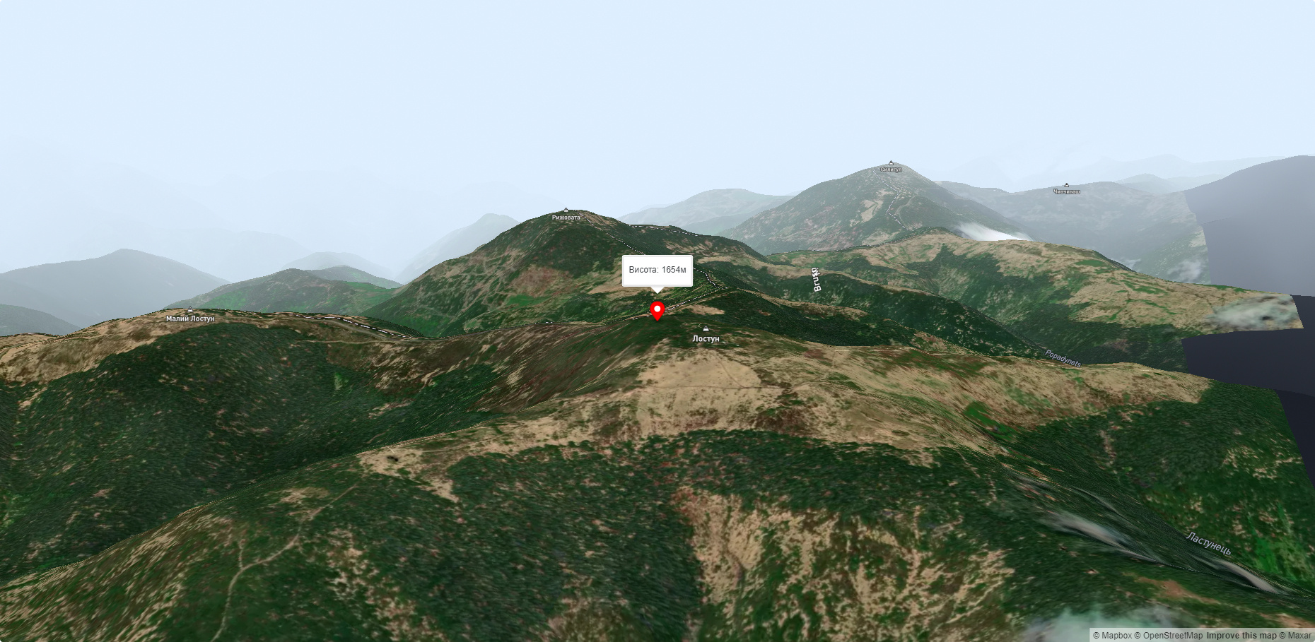
Nearby hiking trails near Mount Lostun:
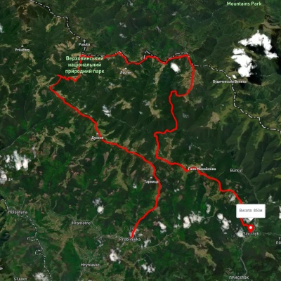
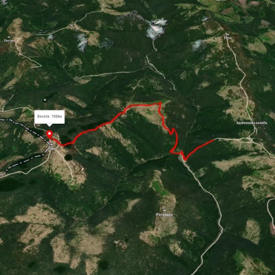
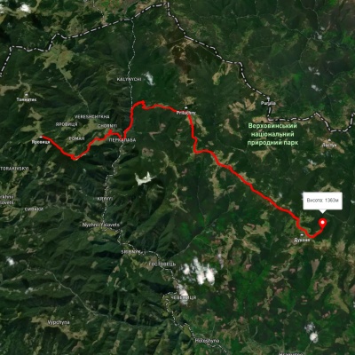
Which trails pass by Mount Lostun?
We suggest these hiking trails through or near Mount Lostun: Probiinivka village, via Mount Tarnytsia, Mount Pnivie and Mount Chyvchyn to Shybene village, Pirye – Cheremosh – Paukivka, Mount Yarovytsia, via the Pryluchnyi ridge and Mount Pnivie to the Holy Trinity Monastery, Shepit village, via Mount Yarovytsia, Mount Pnivie and Mount Masnyi Pryslip to Shybene village, Shepit village, via Mount Yarovytsia, Mount Pnivie and Mount Tarnytsia to Probiinivka village, Mount Chyvchyn, via the Pnivie ridge, the Vatunarka ridge and Mount Baba-Liudova to Stovpni Horishni village