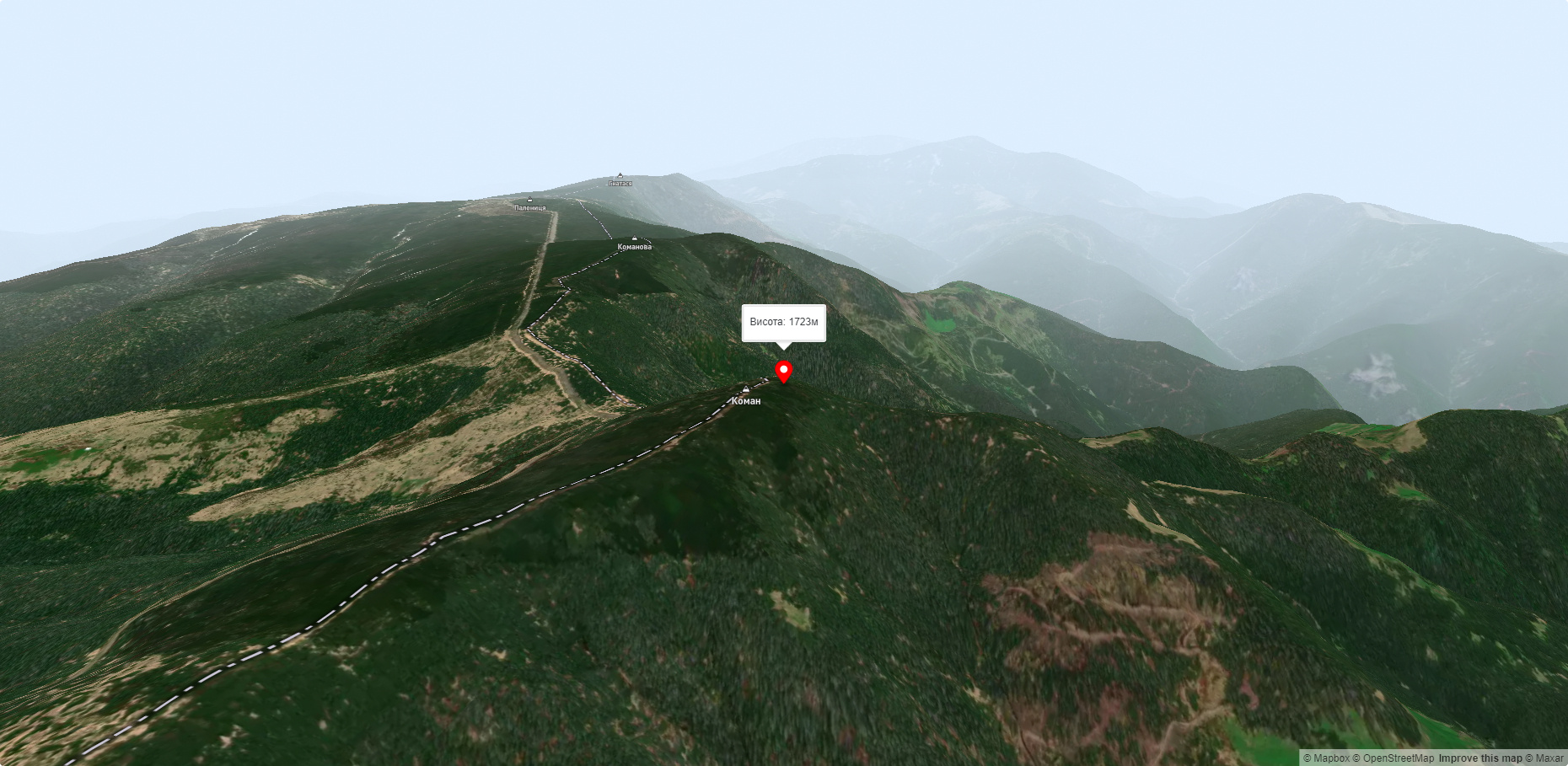
Mount Koman
Mount Koman (also called Komen and Komyn) is a peak in the Chyvchyny Mountains (part of the Marmarosh mountain range in the Ukrainian Carpathians). It is located within the Verkhovyna district (in its southern part) of Ivano-Frankivsk region, in the southeastern direction from the village of Burkut.
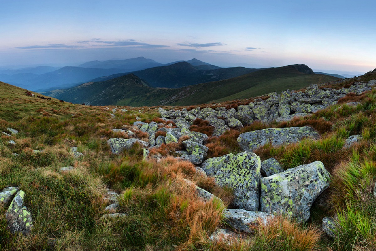
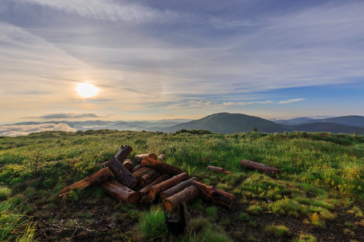
The height of Mount Koman is 1723 meters (according to other information - 1721 m). The top has an oval shape, all slopes are very steep, especially in the southern and western directions. The peak itself and its summit part are unforested, covered with grasses and shrubs.
To the southeast of Mount Koman is Mount Komanova, and to the northeast is Mount Pryluchna.
The state border between Romania and Ukraine passes through the very top.
The nearest settlement is the village of Burkut in the Verkhovyna district of Ivano-Frankivsk region.
Nearby hiking trails near Mount Koman:
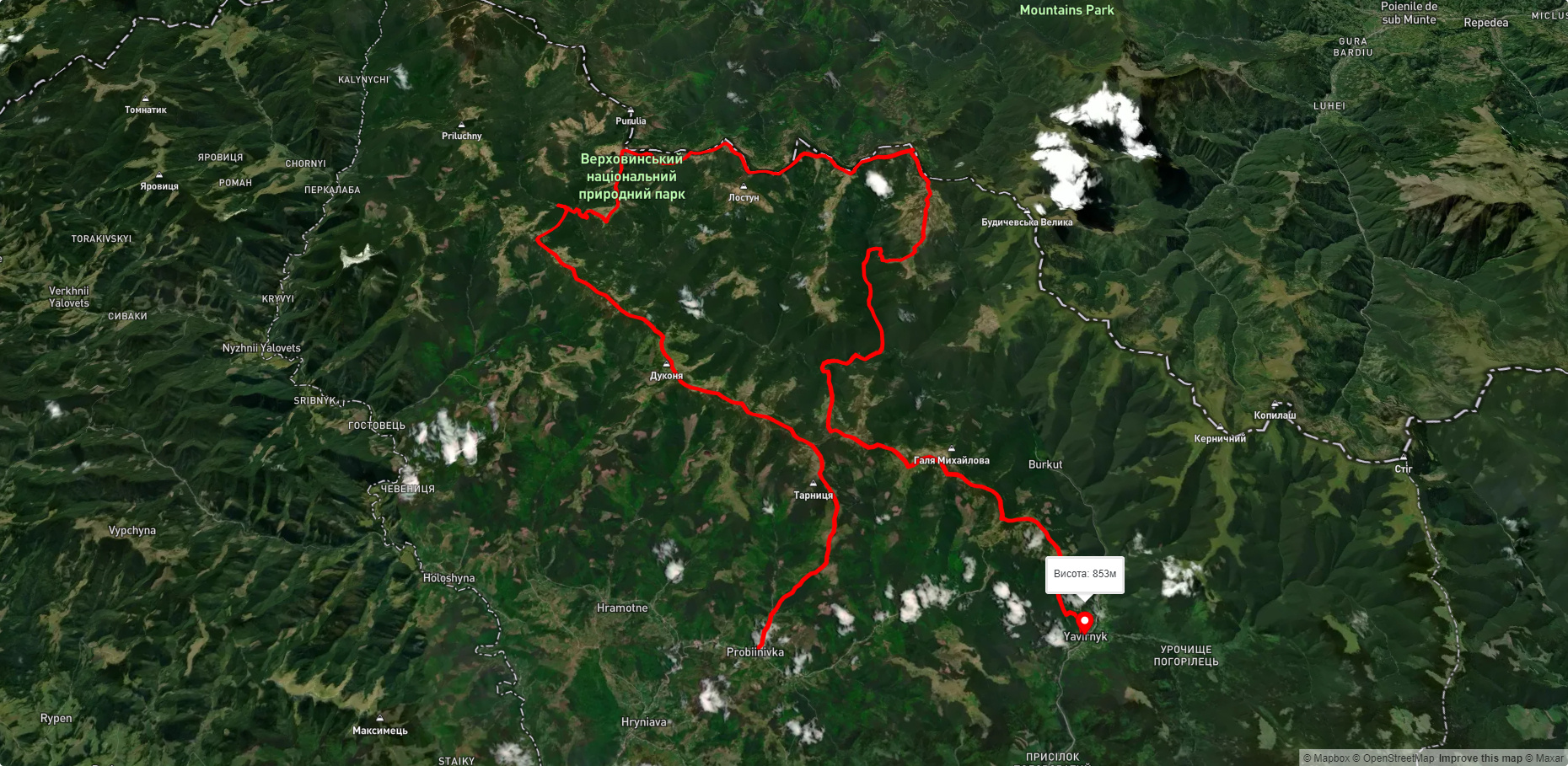
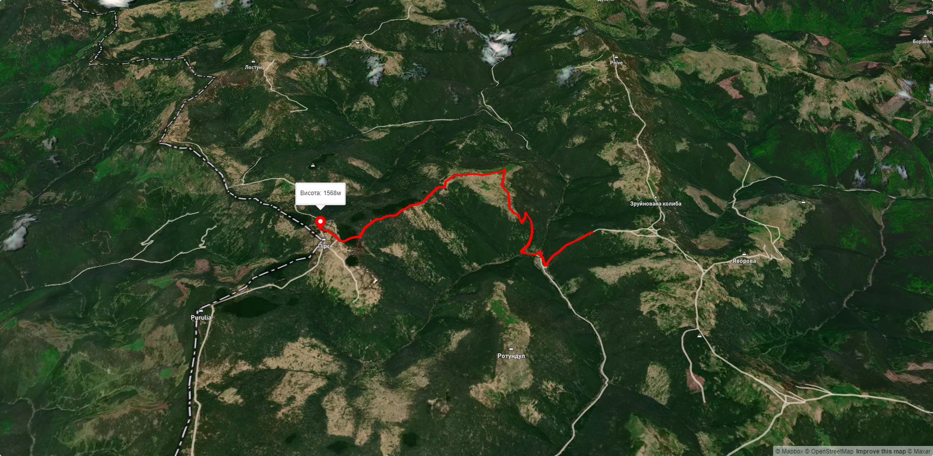
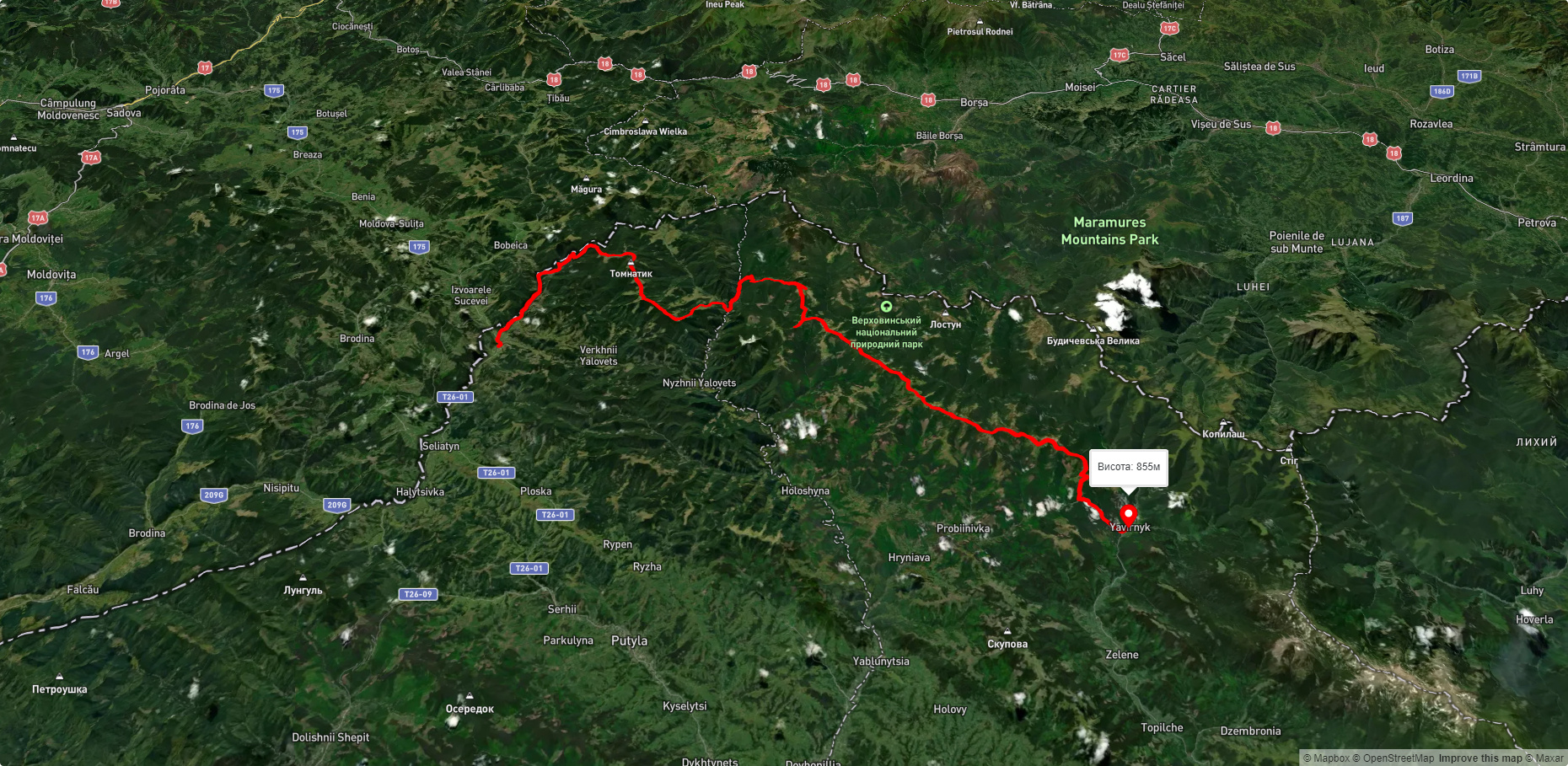
Які маршрути проходять повз Mount Koman?
Пропонуємо пройти такі туристичні (пішохідні) маршрути через/біля Mount Koman: с. Пробійнівка, через г. Тарниця, г. Пнів’є, г. Чивчин до с. Шибене, Пірє - Черемош - Пауківка, с. Шепіт, через г. Яровиця, г. Пнів'є, г. Масний Присліп до с. Шибене, с. Шепіт, через г. Яровиця, г. Пнів'є, г. Тарниця до с. Пробійнівка, г. Яровиця, через хр. Прилучний, г. Пнів'є до Свято-Троїцького Монастира, Перкалаба - Томнатик