Mount Komanova
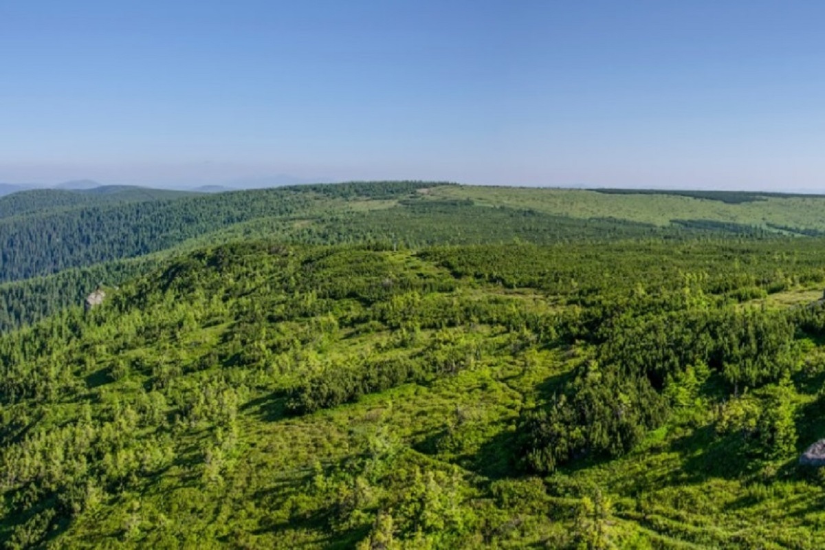
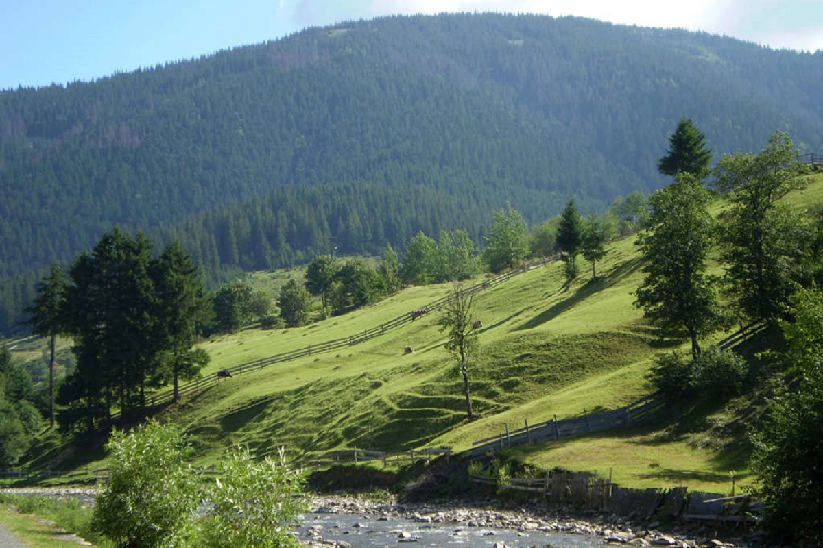
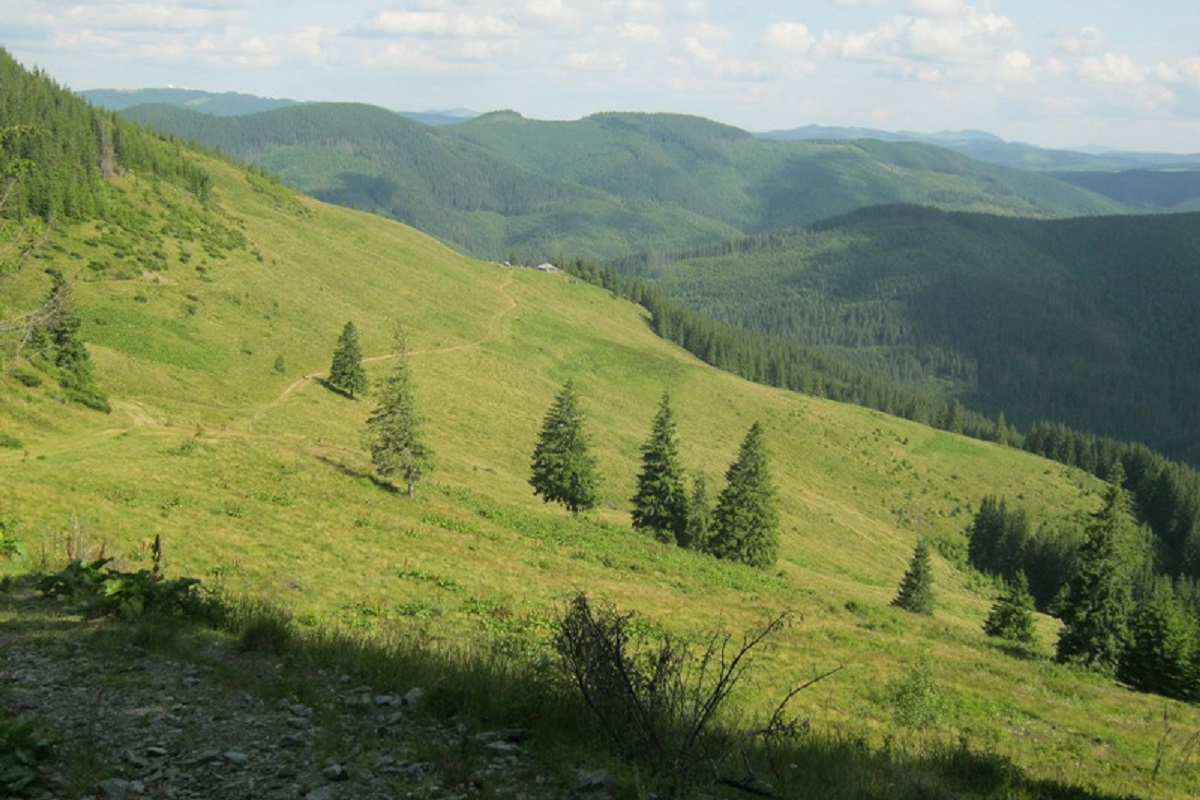
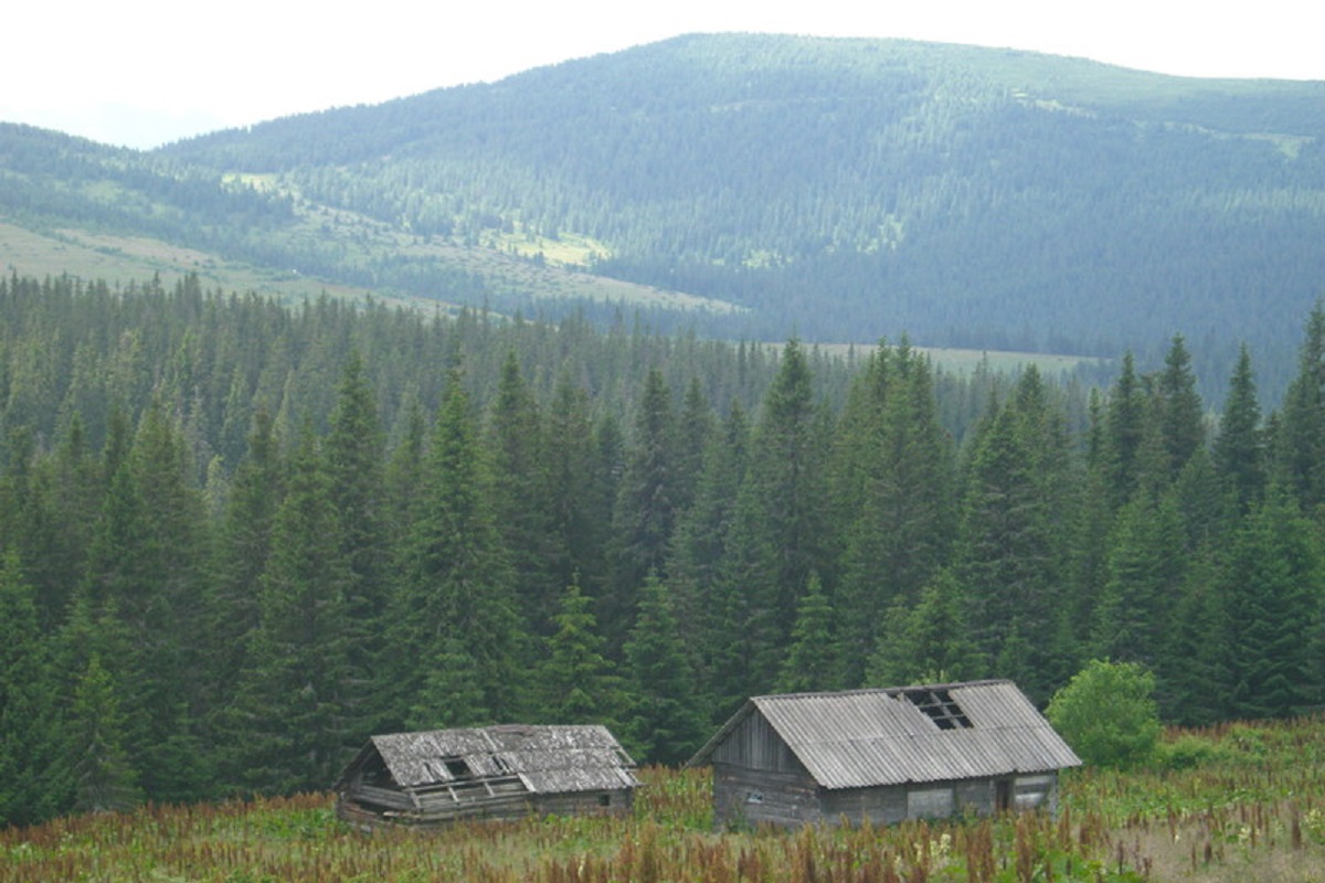
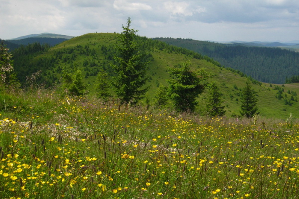
Komanova is a peak in the Ukrainian Carpathians, which is located on the territory of the Chyvchyn Mountains of the Marmarosh mountain range. The mountain is located within the Verkhovyna district of Ivano-Frankivsk region, in the southeastern direction from the village of Burkut.
The height of the mountain is 1734 m (according to other information - 1731 m).
The slopes of Mount Komanova are gentle in the northern and northeastern directions, and steep in the western and southeastern directions, sometimes with dangerous cliffs. The very top is "bald", covered with grasses and thickets of alpine pine (fir) bushes.
To the southeast of Komanova is Mount Palenytsia, to the northwest is Mount Koman, and to the northeast is an unnamed meadow, which in the east unites with the sprawling Palenytsia meadow (together they form the highest plateau in Ukraine).
The state border between Ukraine and Romania passes through Komanova Mountain.
The nearest settlement is the village of Nyzhniy Yalovets, Putyliv district , Chernivtsi region.
Location on the map
Water and shelter nearby
- Mountain shelter on Polonyna Baltahul2 km · Not verified · 1 511 m
Comments
Trails nearby
All trails HardMulti-dayMarkedShepit village to Shybene villagevia Mount Yarovytsia, Mount Pnivie +1Elevation profile849–1 599 m73.4 kmascent 2 319 m5.1 km from Mount Komanova
 HardMulti-dayMarkedShepit village to Probiinivka villagevia Mount Yarovytsia, Mount Pnivie +1Elevation profile797–1 599 m59.4 kmascent 1 949 m5.1 km from Mount Komanova
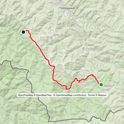 HardMulti-dayMarkedMount Yarovytsia to the Holy Trinity Monasteryvia the Pryluchnyi ridge, Mount PnivieElevation profile955–1 599 m32.5 kmascent 1 068 m≈ 10.5 h walking5.1 km from Mount Komanova
Nearby attractions
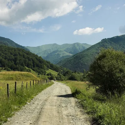 PeakMount KomanKhutir Burkutaltitude 1 723 m · Chyvchyny range2.2 km from Mount KomanovaMount Koman (also called Komen and Komyn) is a peak in the Chyvchyny Mountains (part of the Marmarosh mountain range in the Ukrainian Carpathians).
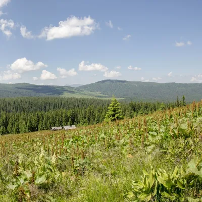 PeakMount PalenicaNyzhnyi Yalovetsaltitude 1 749 m · Chyvchyny range2.2 km from Mount KomanovaPalenytsia is a 1749-meter peak (according to other information, the height of the mountain reaches 1758 m) of the Ukrainian Carpathians, which is located in the...
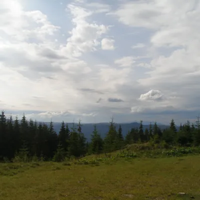 NatureBlack Dil Nature Reserve SarataSarata8 km from Mount KomanovaChornyi Dil is a landscape reserve of national importance in Ukraine. It is located west of the village of Sarata, Putyla district, Chernivtsi region, in the...
Craft nearby
All craft places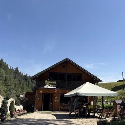 Craft shopsKopalnia Bryndzy cheese shop and tasting, VerkhovynaVerkhovyna41 km from Mount KomanovaKopalnia Bryndzy (“The Brynza Mine”) is a small farm cheese shop with a tasting room on the edge of Verkhovyna, in the valley of the Zhabievskyi stream.
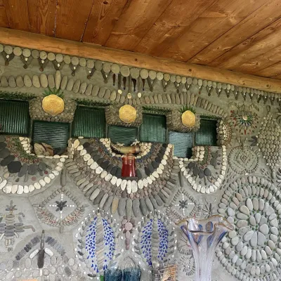 Ethno parks & homesteadsTsikava Sadyba Art and Ethno Homestead, VerkhovynaVerkhovyna43 km from Mount KomanovaTsikava Sadyba («The Curious Estate») is a private art homestead in the very centre of Verkhovyna that local housewife and artist Oksana Susiak has been shaping since...
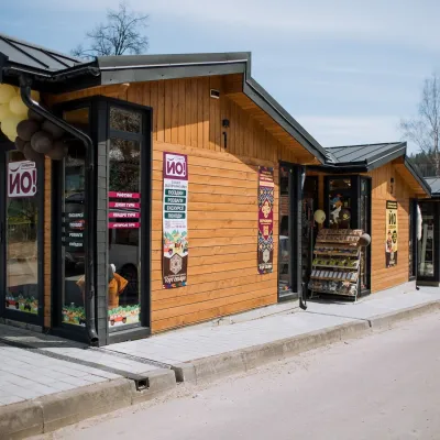 Markets & fairsTorhovyshche Souvenir Market, VerkhovynaVerkhovyna43 km from Mount KomanovaTorhovyshche is a modern souvenir market right in the centre of Verkhovyna, the capital of the mountain Hutsul region.
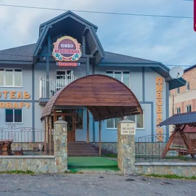 Craft beer & breweriesVerkhovyna Brewery at the Pyvovar Motel, VerkhovynaVerkhovyna44 km from Mount KomanovaVerkhovyna Brewery operates at the Pyvovar motel on the approach to Verkhovyna, the Hutsul capital of the Carpathians.
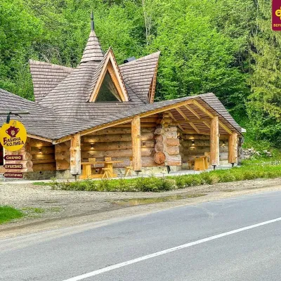 Koliby & Hutsul cuisineBabyna Kolyba, KryvorivniaKryvorivnia45 km from Mount KomanovaBabyna Kolyba («Granny's Koliba») serves authentic Hutsul food in Kryvorivnia, a village sometimes called the «Ukrainian Athens»: Ivan Franko, Mykhailo Kotsiubynskyi...
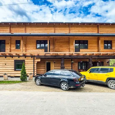 Koliby & Hutsul cuisineZRUB Ethno Restaurant, IltsiIltsi45 km from Mount KomanovaZRUB Ethno Restaurant is a new log-built home of Hutsul cooking in the village of Iltsi, on the edge of Verkhovyna, the town often called the Hutsul capital.