Condition
Not verifiedNo recent reports. Carry water and, if you pass by, tell us what you saw.
- 1 501 m
- Flows all year
- Marked as drinkable
About
Chyvchyny range, about 1 500 m above sea level. The nearest settlement is Sarata, about 3.1 km in a straight line. 5 of the site’s trails pass nearby, including “Shepit village, via Mount Yarovytsia, Mount Pnivie and Mount Masnyi Pryslip to Shybene village”.
The spring is known to flow in summer too. The water is marked as drinkable on the map, but nobody guarantees its quality.
On the map
Coordinates: 47.76024, 25.03204
How to get there
Trails nearby
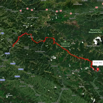 HardMulti-dayUnmarkedShepit village to Shybene villagevia Mount Yarovytsia, Mount Pnivie +1Elevation profile851–1 579 m73.4 kmascent 2 571 m
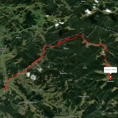 HardTwo-dayUnmarkedShepit village Mount YarovytsiaElevation profile863–1 562 m20.8 kmascent 1 021 m≈ 7 h walking
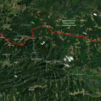 HardMulti-dayUnmarkedShepit village to Probiinivka villagevia Mount Yarovytsia, Mount Pnivie +1Elevation profile814–1 587 m59.4 kmascent 2 021 m
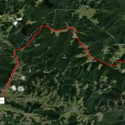 HardMulti-dayUnmarkedNyzhnii Yalovets village to Shypit villagevia Mount YarovytsiaElevation profile862–1 564 m24.7 kmascent 1 153 m≈ 8.5 h walking
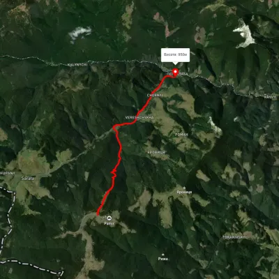 EasyOne-dayMarkedPerkalaba Mount TomnatykElevation profile951–1 538 m8.7 kmascent 366 m≈ 3 h walking
Nearest settlement: Sarata, about 3.1 km in a straight line.
Report the condition
Been here recently? Tell us what you saw and add photos — your report appears on the page right away with today’s date.
No photos yet — send yours together with a condition report.
