Hazel grouse
About
The Hazel grouse is the smallest of the forest grouse in the Carpathians. It lives in mixed and coniferous forests with dense underbrush, spruce, alder, hazel, and berry bushes, often near streams and on overgrown clearings. It occurs in all Carpathian countries, from the foothills to the upper limit of the forest.
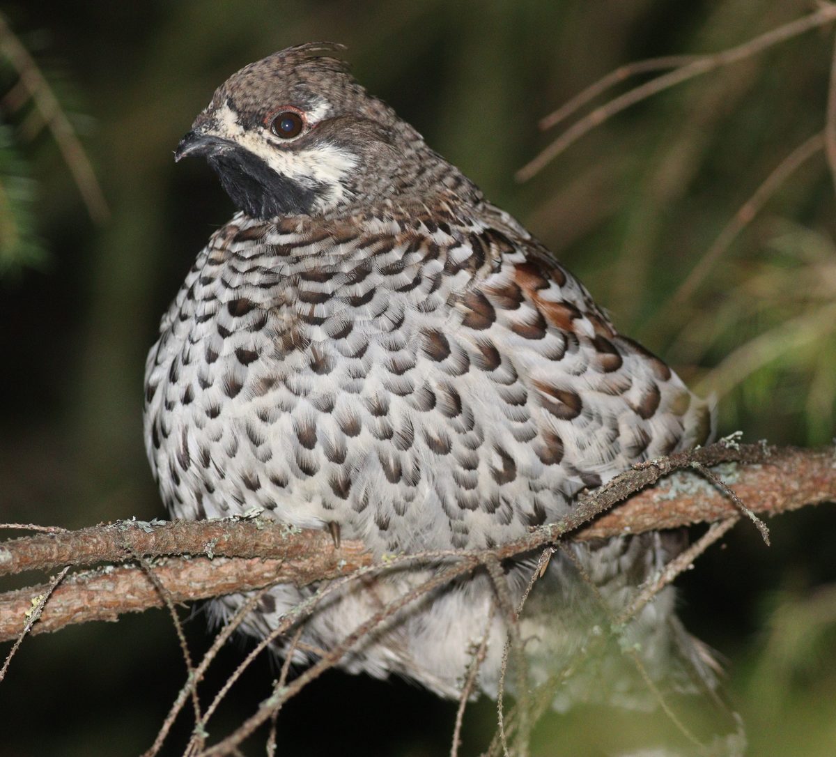
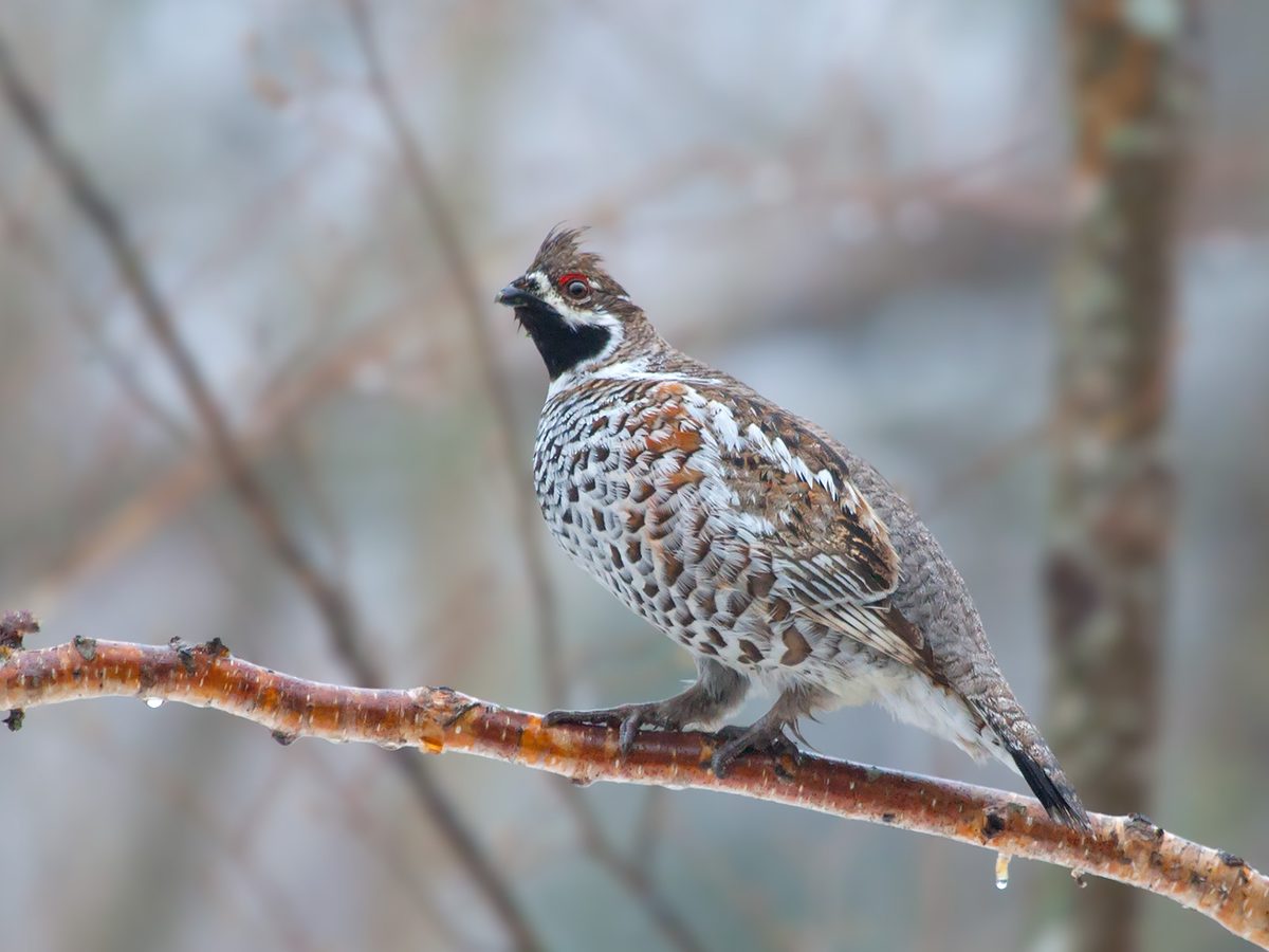
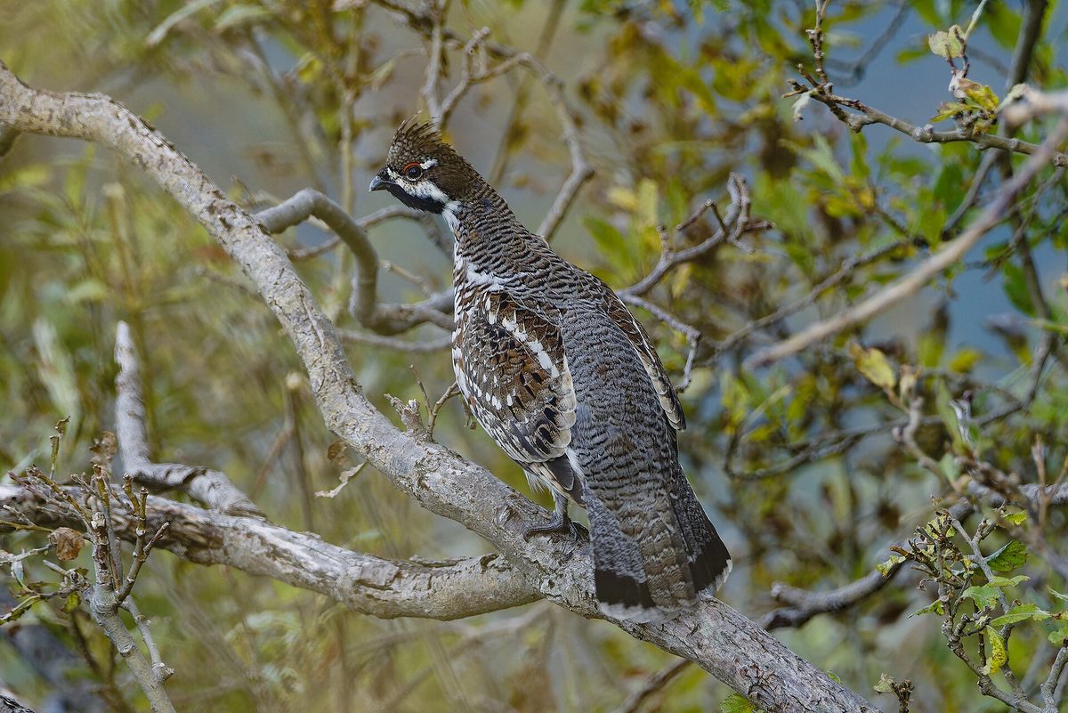
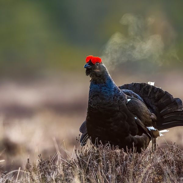
The bird is the size of a pigeon, mottled, grayish-brown with reddish and white spots, and has a small crest. The male has a black throat bordered with white, while the female has a light throat. The Hazel grouse stays on the ground, but when in danger, it takes off with a loud flutter and perches on a branch closer to the trunk, where it is almost invisible.
Hazel grouse live in pairs and maintain their territory all year round. Their voice is a thin prolonged whistle, which can easily be mistaken for a bird's trilling. In summer, the birds eat berries, seeds, buds, and insects; chicks primarily need insects. In winter, they feed on buds and catkins of alder, birch, and hazel, and to escape the cold, they roost buried in the snow.
The female makes a nest on the ground, under a bush or a fallen trunk, and incubates the chicks, which can run after her just a few days after hatching.
The Hazel grouse is listed in the Red Book of Ukraine as a vulnerable species, and hunting it is prohibited.
Where in the Carpathians

The map shows where naturalists recorded the species (GBIF, CC0 and CC BY records), not every place it lives. The Ukrainian Carpathians are less studied, so a blank area does not mean the species is absent.
- Countries
- Ukraine · Slovakia · Poland · Romania · Czechia · Hungary
- Mountain ranges
- Chornohora, Skole Beskids, Volovec Mountains, Gorgany, High Tatras, Bieszczady, Western Tatras, Maramureș Mountains, Upper Dniester Beskids, Gorce
- Altitude belts
- Foothills (below 600 m) · Beech forests (600–1200 m) · Conifer forests (1200–1600 m)
When to see it
| Jan | Feb | Mar | Apr | May | Jun | Jul | Aug | Sep | Oct | Nov | Dec | |
|---|---|---|---|---|---|---|---|---|---|---|---|---|
| Sightings |
From naturalists’ observations in the Carpathians (iNaturalist, research grade): the darker the cell, the more often the species is seen that month.
Protection and rules
Hunting is prohibited: the species is listed in the Red Book of Ukraine.
FAQ
Does the Hazel grouse live in the Carpathians?
Yes, the Hazel grouse lives in mixed and coniferous forests with dense underbrush in all Carpathian countries. It reveals itself with a thin prolonged whistle.
Is the Hazel grouse listed in the Red Book of Ukraine?
Yes, as a vulnerable species; hunting it is prohibited.
Similar species
Where to meet it
Trails
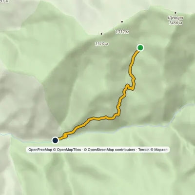 EasyOne-dayMarkedTo Yalynskyi WaterfallElevation profile453–1 047 m4.6 km≈ 1 h walking
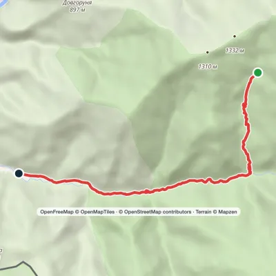 EasyOne-dayMarkedYalynskyi Waterfall Dilove villageElevation profile393–1 030 m8.2 kmascent 7 m≈ 2 h walking
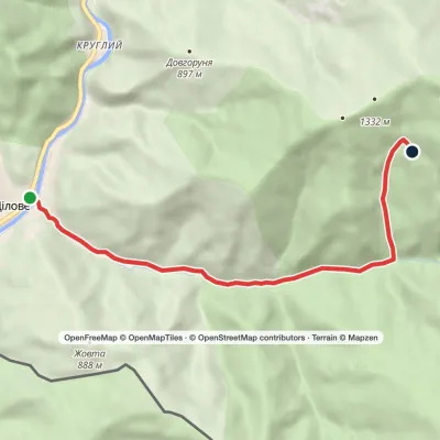 ModerateOne-dayMarkedDilove village Yalynskyi WaterfallElevation profile346–1 063 m7.6 kmascent 716 m≈ 3.5 h walking
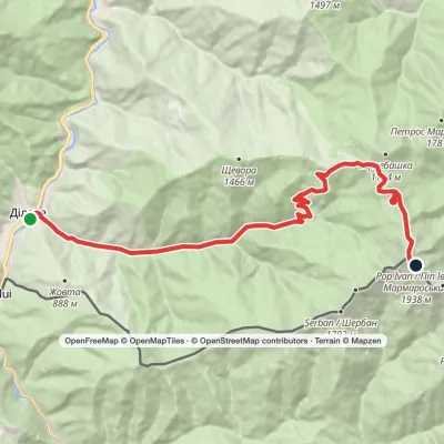 HardTwo-dayMarkedDilove village to Mount Pip Ivan Marmaroskyivia Lysycha polonynaElevation profile346–1 936 m19.4 kmascent 1 663 m≈ 8 h walking
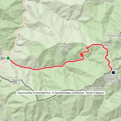 HardTwo-dayMarkedDilove village Mount Pip Ivan MarmaroskyiElevation profile347–1 936 m18 kmascent 1 650 m≈ 8 h walking
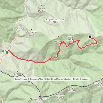 ModerateTwo-dayDilove village to Shchavora polonynavia Yalynskyi WaterfallElevation profile346–1 338 m16.3 kmascent 1 042 m≈ 6 h walking
 ModerateOne-dayMarkedZaroslyak base Mount ShpytsiElevation profile1 134–1 863 m6.9 kmascent 743 m≈ 3 h walking
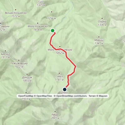 EasyOne-dayMarkedZaroslyak base Mount ShpytsiElevation profile1 128–1 863 m6.1 kmascent 758 m≈ 3 h walking
 HardMulti-dayMarkedDilove village loopvia Mount Pip Ivan Marmaroskyi, Mount ZherbanElevation profile346–1 936 m50.5 kmascent 1 783 m
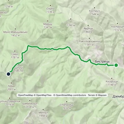 ModerateOne-dayMarkedBystrets village Mount Shpytsivia Maryshevska polonynaElevation profile768–1 931 m12.4 kmascent 1 163 m≈ 5.5 h walking
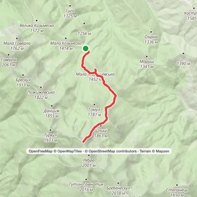 ModerateTwo-dayMarkedZaroslyak base loopvia Mount Shpytsi, Mount RebraElevation profile1 130–1 931 m15.2 kmascent 870 m≈ 5.5 h walking
 EasyOne-dayMarkedZaroslyak base Mount HoverlaElevation profile1 266–2 061 m3.2 kmascent 795 m≈ 2.5 h walking
Peaks and meadows
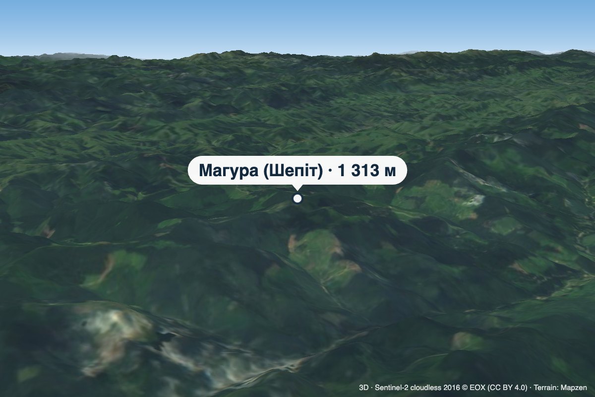 PeakMount Mahura (Shepit)Dolishnii Shepitaltitude 1 313 m · Pokuttia-Bukovyna Carpathians rangeMahura is a 1,313 m mountain in the Pokuttia-Bukovyna Carpathians, on the Dovhyi Hrun ridge.
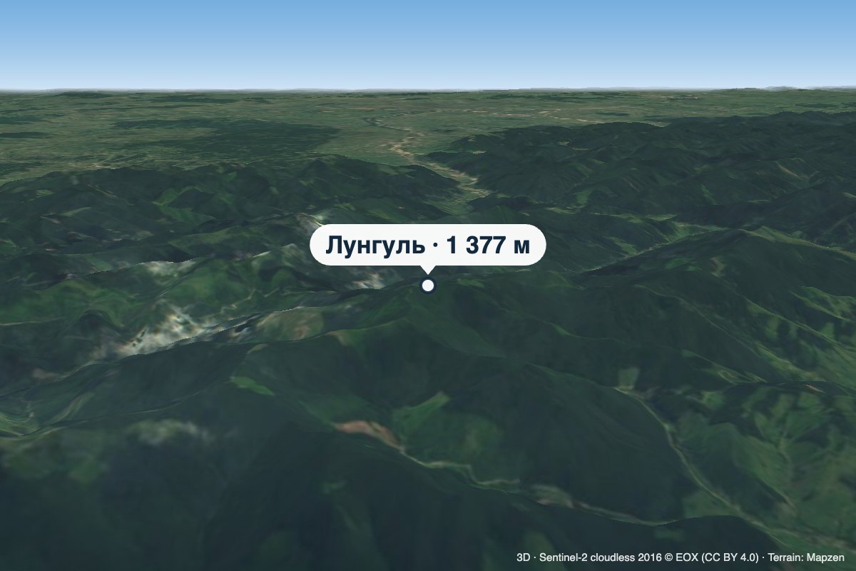 PeakMount LunhulRuskaaltitude 1 377 mLunhul is a 1,377 m summit (1,377.4 m exactly) in the Pokuttia-Bukovyna Carpathians.
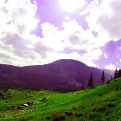 Mountain meadowPolonyna GadzhinaBystretsIt seemed that the Chornohora massif was literally crowded with people, but sometimes you can come across places that...
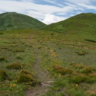 Mountain meadow1 500 mPolonyna Pozhizhevska (Pozhizhevskaya)Nadvirna districtPolonyna lies at an altitude of 1382-1822 meters. The Pozhyzhevska meadow lies at the foot of the mountain of the...
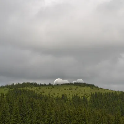 Mountain meadow1 565 mMount Tomnatyk (Yalovychory)SarataTomnatyk is a 1,565 m mountain in the Yalovychory Mountains, on the Tomnatykul ridge.
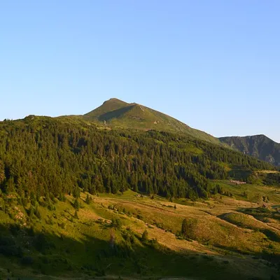 Mountain meadow1 477 mPolonyna LysychaDiloveThe Lysycha valley is located on the Marmoroska ridge of the Carpathians.
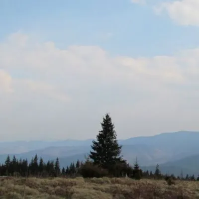 Mountain meadow1 200 mPolonyna ShchivkaYaremcheThe Shchivka meadow has a very good location. Its length is about 700 meters, it has a slight slope, which protects...
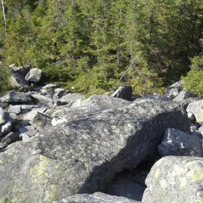 PeakMount SinyachkaYaremchealtitude 1 400 m · Gorgany range10 trails to the topMount Sinyachka is a 1400-meter peak in the Gorgan mountain range of the Ukrainian Carpathians, located in the...
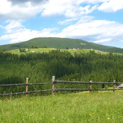 PeakMount Magura, TatarivTatarivaltitude 1 288 m · Gorgany rangeMagura (1288 m) is a forested ridge in the Gorgany range between Tatariv, Yablunytsia and Vorokhta, within the...
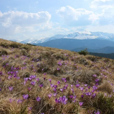 Mountain meadow1 430 mPolonyna ZakukulVorokhtaPolonyna Zakukul lies on the south-eastern slope of Mount Kukul (1539 m), the highest summit of the ridge of the same...
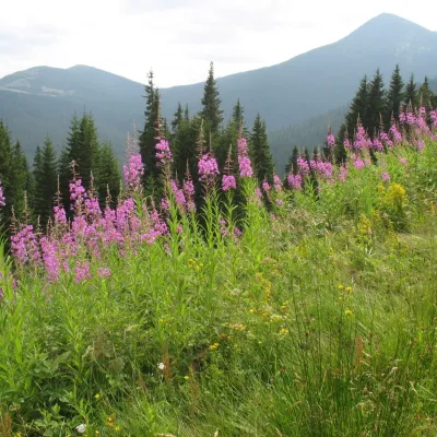 Mountain meadow1 290 mPolonyna MaryshevskaBystretsMaryshevska Polonyna is a small mountain pasture on a north-eastern spur of Chornohora, in the group of Velyka (1,567...
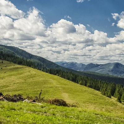 Mountain meadow1 295 mPolonyna KhomyakovTatarivYou can climb here from the Guk waterfall even in a short winter day, spend the night, and in the morning go to the...
Waters and waterfalls
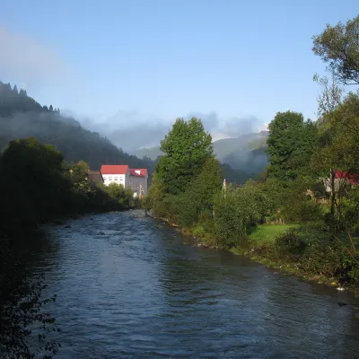 RiverBila Tysa RiverBohdanThe Bila Tysa rises on the south-western slopes of Chornohora, where the Stohovets and Balzatul streams meet, and...
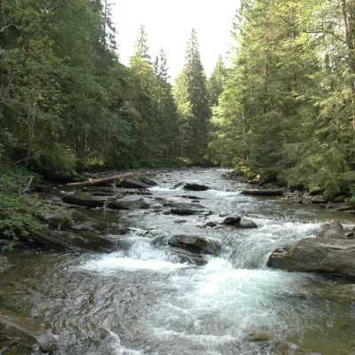 RiverPrutKryvopilliaThe Prut River is a river that connects several countries and is of great natural, historical and cultural importance.
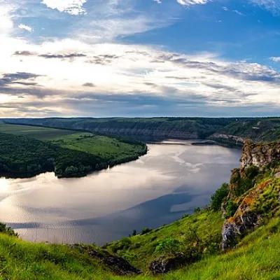 RiverDniesterVovcheThe Dniester is one of the most famous and largest rivers in Ukraine. The Dniester has been used as an important...
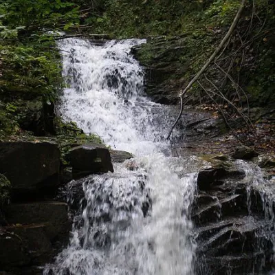 WaterfallChemernarsky Hook waterfallDolishnii ShepitChemernarsky Huk Waterfall is a small but very beautiful waterfall located in the village of Dolishniy Shepit,...
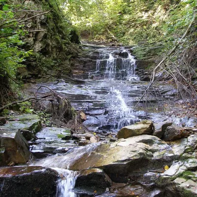 WaterfallChemernarsky waterfall Lower HookDolishnii ShepitThe Chemernarsky Lower Hook Waterfall (also known as Lower Shepit) is located in Dolishnyi Shepit, in the western...
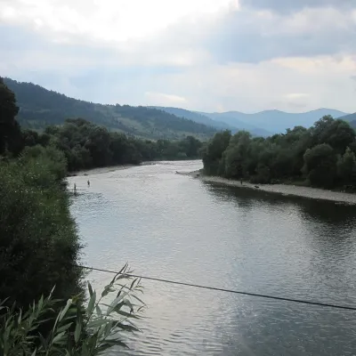 RiverStryi RiverTurkaThe Stryi is one of the largest Carpathian tributaries of the Dniester: 232 km from its source between Mount Yavirnyk...
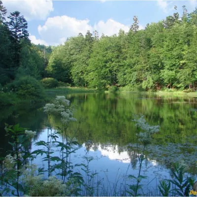 LakeMountain Polyanytske Lake (Dead Lake)BukovetsMountain Lake (another name - Dead Lake) is a picturesque mountain lake of natural origin in the Ukrainian...
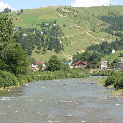 RiverWhite CheremoshUsterikyThe White Cheremosh is one of the most beautiful and important rivers in the Ukrainian Carpathians.
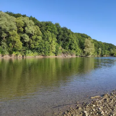 RiverBystrytsia Solotvynska RiverSolotvynThe Bystrytsia Solotvynska rises at about 1,390 m at the foot of Mala Syvulia and Bystryk, near the Peklo cliffs in...
Mountain ranges: Chornohora, Skole Beskids, Gorgany, Bieszczady, Maramureș Mountains, Upper Dniester Beskids. In other countries: 🇸🇰 Volovec Mountains, 🇸🇰 High Tatras, 🇸🇰 Western Tatras, 🇵🇱 Gorce, 🇵🇱 Babia Góra, 🇨🇿 Moravian-Silesian Beskids, 🇸🇰 Low Tatras, 🇵🇱 Żywiec Beskids
Trails and peaks near which naturalists recorded the species (GBIF, iNaturalist), matched by altitude and habitat. Sightings are not guaranteed.
Sources
- Вікіпедія: Орябок
- Wikipedia (en): Hazel grouse
- Перелік видів тварин, що заносяться до Червоної книги України (наказ Міндовкілля від 19.01.2021 № 29, зареєстровано в Мін'юсті 01.03.2021 за № 260/35882)
- Міндовкілля: текст переліку видів тварин Червоної книги України (PDF)
- GBIF: таксон і категорія МСОП
- Директива 2009/147/ЄС про збереження диких птахів
GBIF · iNaturalist · Wikidata · Distribution data: GBIF.org (CC0 and CC BY records), iNaturalist; names and identifiers: Wikidata (CC0). Text: Karpaty.rocks, checked 09.11.2026.
