Mount Lunhul
Lunhul is a 1,377 m summit (1,377.4 m exactly) in the Pokuttia-Bukovyna Carpathians. It stands on the boundary of the former Vyzhnytsia and Putyla districts of Chernivtsi Oblast, south of Dolishnii Shepit and north-east of Ruska, the nearest village. The Ukrainian–Romanian border runs a little to the south of the mountain.
Lunhul is part of the Dovhyi Hrun ridge. The summit is rounded, the slopes are steep (except near the top) with scree in places. The mountain is made of sandstone, and its slopes are covered with spruce forest mixed with fir and beech.
How to get there
Our site has no marked route to Lunhul yet. The shortest approach is from Ruska, about 4 km from the summit as the crow flies. Another option is to start at the Shurdyn Pass (1,173 m) to the north-west and follow the ridge over Mount Mahura to Lunhul. The forest on the slopes is dense, so carry a GPS track.
Water, shelter and safety
Our map shows no springs or huts within 4 km of the summit, so bring your own water. The easiest places to stay are Ruska or Dolishnii Shepit. The mountain is close to the state border: carry your passport, do not cross the border and check the current rules for the border zone with the border guards in advance. It is easy to lose your bearings in the forest, so start early and watch the forecast. In an emergency call 112 or 101 — contacts of the nearest units are on our mountain rescue page.
Interesting facts
- North-west of Lunhul lie Mount Mahura and the Shurdyn Pass; to the north-east is the Sadeu Pass (1,077 m), beyond which stretches the Chymyrna ridge.
- In Romanian the mountain is called Vârful Lungul.
Comments
Places to stay nearby
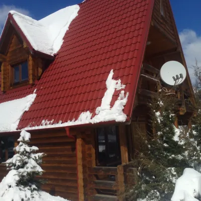 HomesteadChalet in the Carpathians "Lostun"9.3 km from Mount LunhulBreakfastFireplaceKitchenNearby: Chemernarsky Hook waterfall 2.1 km
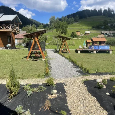 HotelVilla Karpatska Bulbona15 km from Mount LunhulVilla Karpatska Bulbona is located in the picturesque heart of the Carpathians in the village of Serhii, Vyzhnytsia district, Chernivtsi region.Nearby: St. Nicholas Church 3.9 km
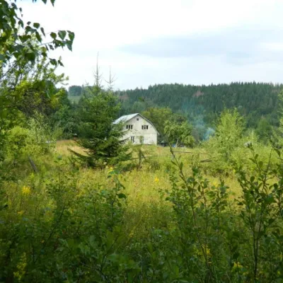 HomesteadEcofarm Bukova15 km from Mount LunhulBudget vacation in the Bukovinian Carpathians with respect for Nature. Ecofarm Bukova offers a cozy stay in the hamlet of Koshuy, Chernivtsi region in an agro...
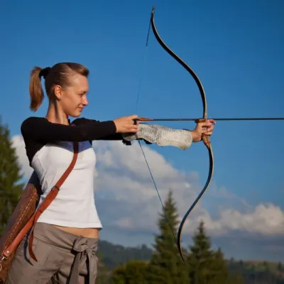 HotelEco-Resort "Khutir Tykhyi" Serhii13 km from Mount LunhulPoolSaunaSPANearby: St. Nicholas Church 7.4 kmAviary of Selyatyn forestry 8.6 km
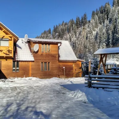 HomesteadHomestead "Pid Skelyu" Mykulychyn18 km from Mount LunhulSaunaBBQKitchenNearby: St. Nicholas Church 200 mWaterfall Kizya 9.4 km
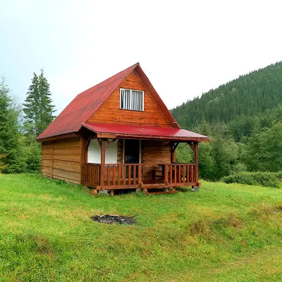 HomesteadHomestead "Sheptychanka" Shepit19 km from Mount LunhulSaunaBBQKitchenNearby: Church of St. Elijah 200 mMt Yarovytsia 9.3 km2 trails
Trails nearby
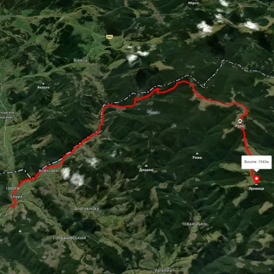 HardTwo-dayUnmarkedShepit village Mount YarovytsiaElevation profile863–1 562 m20.8 kmascent 1 021 m≈ 7 h walking21 km from Mount Lunhul
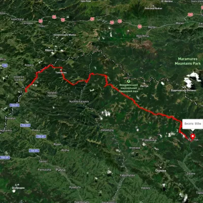 HardMulti-dayUnmarkedShepit village to Shybene villagevia Mount Yarovytsia, Mount Pnivie +1Elevation profile851–1 579 m73.4 kmascent 2 571 m21 km from Mount Lunhul
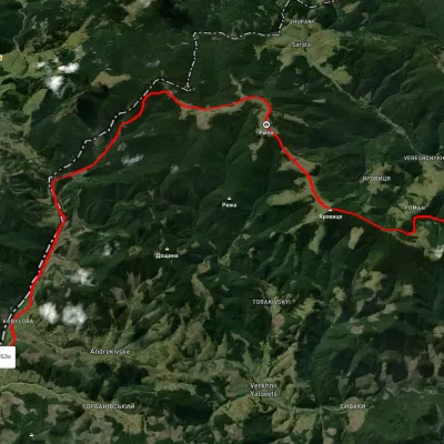 HardMulti-dayUnmarkedNyzhnii Yalovets village to Shypit villagevia Mount YarovytsiaElevation profile862–1 564 m24.7 kmascent 1 153 m≈ 8.5 h walking22 km from Mount Lunhul
Nearby attractions
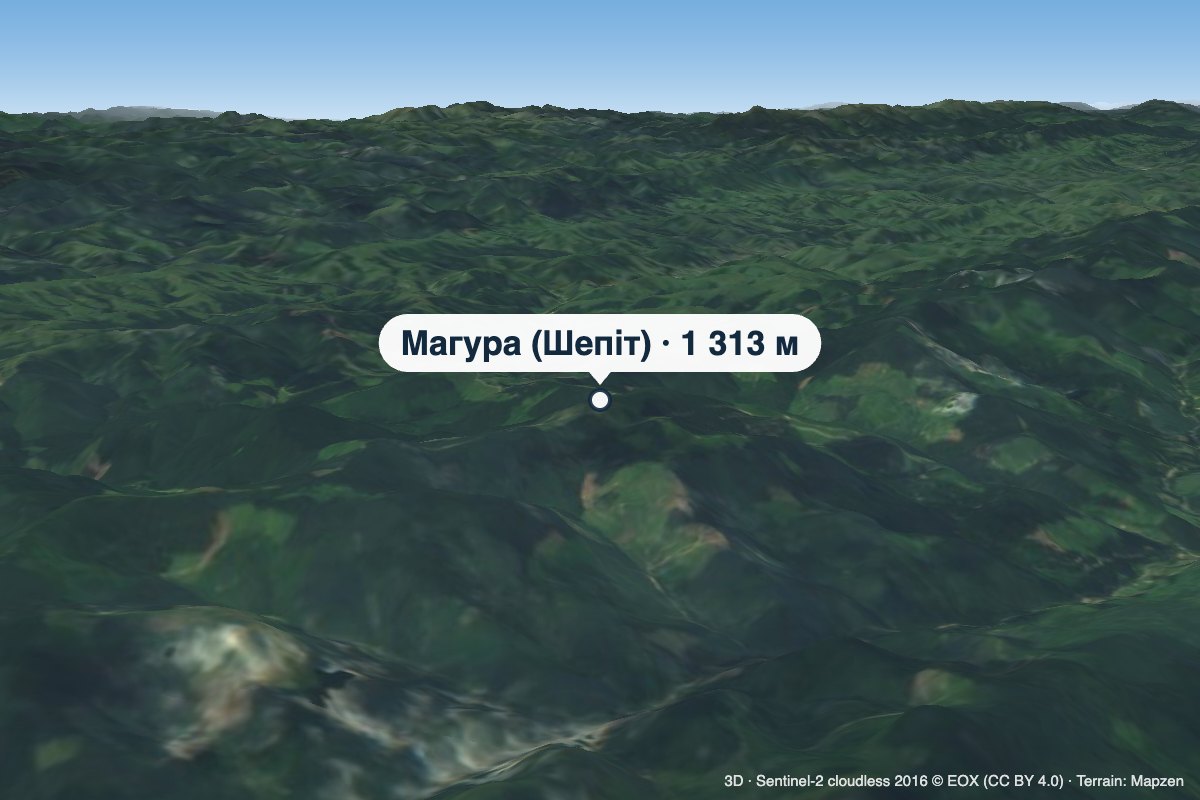 PeakMount Mahura (Shepit)altitude 1 313 m · Pokuttia-Bukovyna Carpathians range4.3 km from Mount LunhulMahura is a 1,313 m mountain in the Pokuttia-Bukovyna Carpathians, on the Dovhyi Hrun ridge. It lies in the Vyzhnytsia district of Chernivtsi Oblast, south of the...
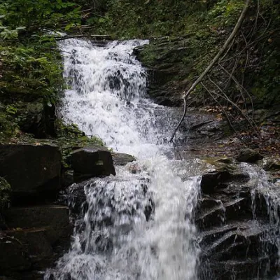 WaterfallChemernarsky Hook waterfall7.2 km from Mount LunhulChemernarsky Huk Waterfall is a small but very beautiful waterfall located in the village of Dolishniy Shepit, Chernivtsi region.
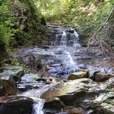 WaterfallChemernarsky waterfall Lower Hook7.9 km from Mount LunhulThe Chemernarsky Lower Hook Waterfall (also known as Lower Shepit) is located in Dolishnyi Shepit, in the western Ukraine, Chernivtsi region.