Mount Mahura (Shepit)
Mahura is a 1,313 m mountain in the Pokuttia-Bukovyna Carpathians, on the Dovhyi Hrun ridge. It lies in the Vyzhnytsia district of Chernivtsi Oblast, south of the village of Dolishnii Shepit. To the west is the Shurdyn pass (1,173.5 m); to the south-east the ridge leads to Mount Lunhul (1,377 m) near the Ukrainian-Romanian border. The villages of Ruska and Foshky are also nearby.
The slopes of Mahura are steep and only partly forested, so the summit offers wide views over the Bukovynian mountains. The name «Mehura» is also found on maps and in local use.
How to get there
Our site has no marked route to this Mahura yet. The mountain is unusual in that a road runs up to the summit, to the Kovcheh tourist base; on foot it is convenient to climb from Dolishnii Shepit or from the Shurdyn pass. Do not confuse this summit with the other Mahuras of the Carpathians — the name is very common in the mountains.
Water, shelter and safety
Our map shows the Kovcheh shelter about 500 m from the summit, a picnic shelter and a spring above Dolishnii Shepit about 1.1 km away, and captured springs near Foshky and Dolishnii Shepit about 1.3 km away. The open slopes give no protection from wind or lightning: in a thunderstorm head down into the forest. In winter the road to the top may be impassable. In an emergency call 112 or 101 — the mountain rescue units of Bukovyna work around the clock.
Interesting facts
- An unusual tourist base, Kovcheh («the Ark»), has been built on the summit — a rare case in the Carpathians of a road leading right to the top.
- Mahura and neighbouring Lunhul are summits of the same ridge, Dovhyi Hrun; the Romanian border runs just south of Lunhul.
Comments
Places to stay nearby
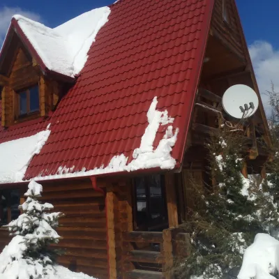 HomesteadChalet in the Carpathians "Lostun"6.6 km from Mount Mahura (Shepit)BreakfastFireplaceKitchenNearby: Chemernarsky Hook waterfall 2.1 km
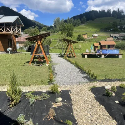 HotelVilla Karpatska Bulbona11 km from Mount Mahura (Shepit)Villa Karpatska Bulbona is located in the picturesque heart of the Carpathians in the village of Serhii, Vyzhnytsia district, Chernivtsi region.Nearby: St. Nicholas Church 3.9 km
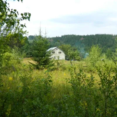 HomesteadEcofarm Bukova15 km from Mount Mahura (Shepit)Budget vacation in the Bukovinian Carpathians with respect for Nature. Ecofarm Bukova offers a cozy stay in the hamlet of Koshuy, Chernivtsi region in an agro...
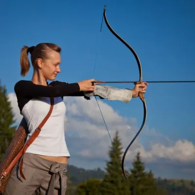 HotelEco-Resort "Khutir Tykhyi" Serhii9.7 km from Mount Mahura (Shepit)PoolSaunaSPANearby: St. Nicholas Church 7.4 kmAviary of Selyatyn forestry 8.6 km
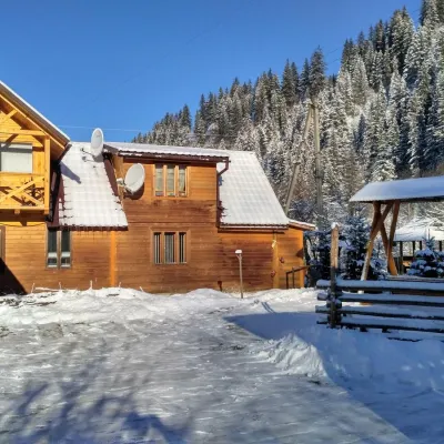 HomesteadHomestead "Pid Skelyu" Mykulychyn14 km from Mount Mahura (Shepit)SaunaBBQKitchenNearby: St. Nicholas Church 200 mWaterfall Kizya 9.4 km
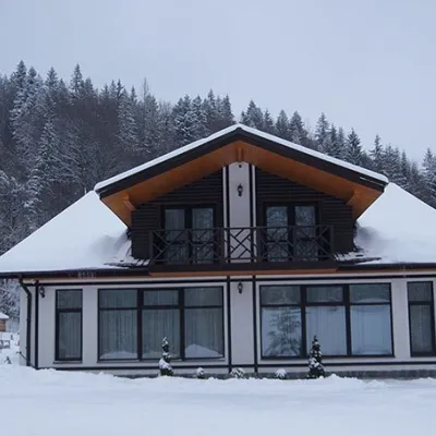 HotelHotel "Hirskaya Sonata" Lekechi17 km from Mount Mahura (Shepit)PoolBreakfastBBQNearby: Church of St. John of Suceava 4.9 kmHistorical Museum 7.8 km
Trails nearby
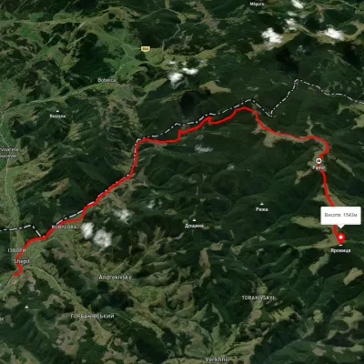 HardTwo-dayUnmarkedShepit village Mount YarovytsiaElevation profile863–1 562 m20.8 kmascent 1 021 m≈ 7 h walking20 km from Mount Mahura (Shepit)
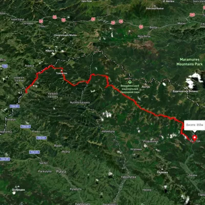 HardMulti-dayUnmarkedShepit village to Shybene villagevia Mount Yarovytsia, Mount Pnivie +1Elevation profile851–1 579 m73.4 kmascent 2 571 m20 km from Mount Mahura (Shepit)
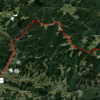 HardMulti-dayUnmarkedNyzhnii Yalovets village to Shypit villagevia Mount YarovytsiaElevation profile862–1 564 m24.7 kmascent 1 153 m≈ 8.5 h walking20 km from Mount Mahura (Shepit)
Nearby attractions
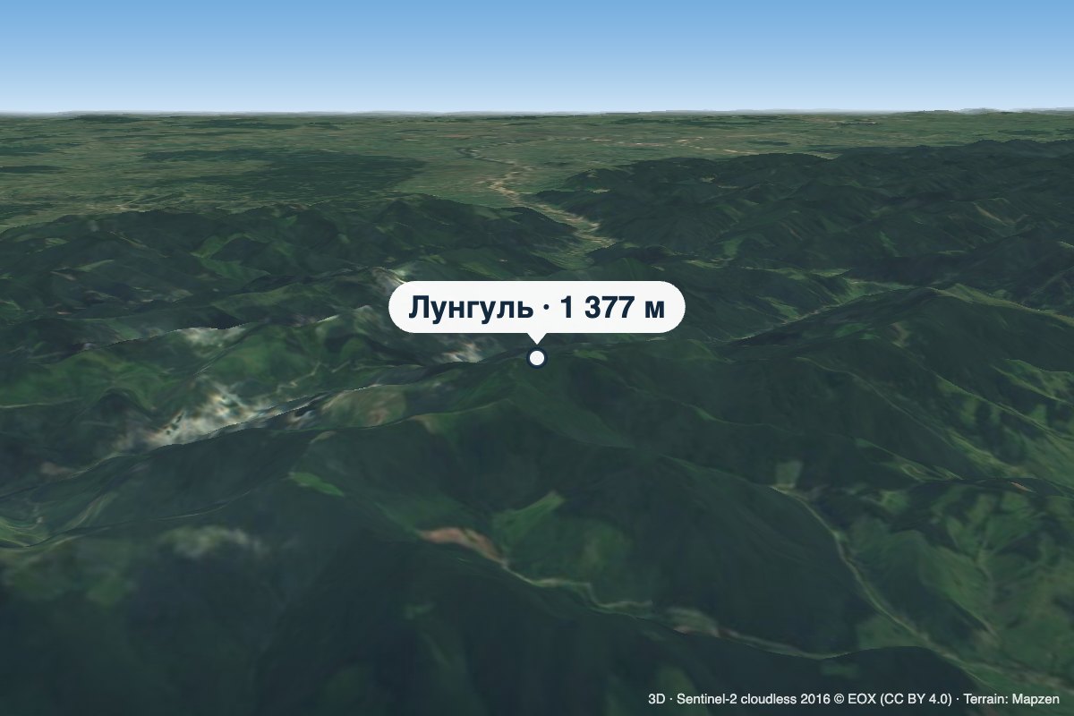 PeakMount Lunhulaltitude 1 377 m4.3 km from Mount Mahura (Shepit)Lunhul is a 1,377 m summit (1,377.4 m exactly) in the Pokuttia-Bukovyna Carpathians. It stands on the boundary of the former Vyzhnytsia and Putyla districts of...
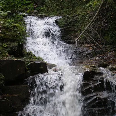 WaterfallChemernarsky Hook waterfall5 km from Mount Mahura (Shepit)Chemernarsky Huk Waterfall is a small but very beautiful waterfall located in the village of Dolishniy Shepit, Chernivtsi region.
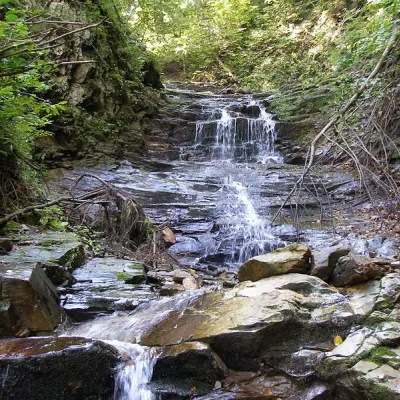 WaterfallChemernarsky waterfall Lower Hook5.1 km from Mount Mahura (Shepit)The Chemernarsky Lower Hook Waterfall (also known as Lower Shepit) is located in Dolishnyi Shepit, in the western Ukraine, Chernivtsi region.