Mount Kinashka – Lekechi village
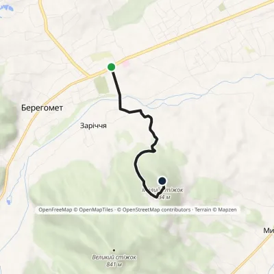
Trail map
Route, springs and shelters: © OpenStreetMap contributors (ODbL) · elevation: Copernicus DEM © DLR e.V., © Airbus DS · Data & licences
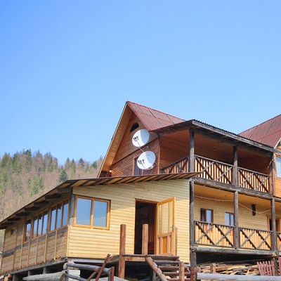
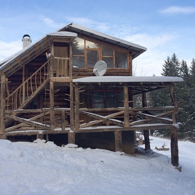
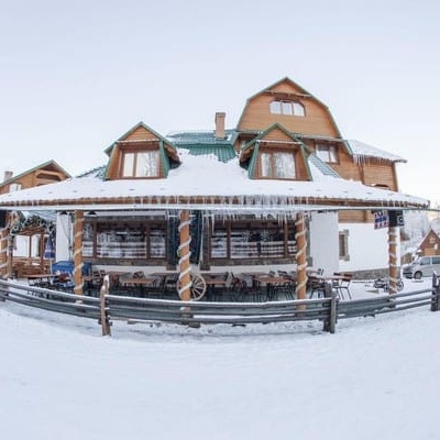
Where to stay nearby


About the trail
Route Mount Kinashka – Lekechi village. Has blue marking (local route). Waymarking data: OpenStreetMap (© OpenStreetMap contributors, ODbL).
Officially marked local tourist route. The marking is blue, the sign is a horizontal stripe on a white background. The length of the route is 9.5 km. Location: mountain range - Pokutsko-Bukovynski Carpathians, Chernivtsi region.
At a glance
A short route of 9.5 km with 3 m of ascent and 519 m of descent from Mount Kinashka to Lekechi village. Estimated walking time: about 2.5 h, not counting stops. Difficulty: easy. Waymarking: blue.
Route stages
- 0–5 kmDescent of 370 m (down to 662 m)
- 5–9.5 kmGentle ups and downs at 520–670 m
Steepest kilometre: km 0–1, a descent of 150 m (≈15%).
Water and overnight stays
A spring near the trail: at km 5.5.
Places to stay near the finish: Myhove.
When to go
Best time: May to October. In winter deep snow is possible, so experience and winter gear are needed.
Getting there
Start: Mount Kinashka. This is a one-way route: the finish is 6 km from the start in a straight line, so plan your way back in advance.
FAQ
- How long does the route take?
- Estimated walking time: about 2.5 h, not counting stops.
- Is there water on the route?
- A spring near the trail: at km 5.5.
- Where can I stay overnight?
- Places to stay near the finish: Myhove.
Water and shelter on the route
- Spring (Lekechi, 2)km 5.4 from the start · Not verified · 644 m
Before you go, check the border-regime restrictions: Border Guard permit for mountain hikes (in Ukrainian)
Comments
Trails nearby
All trails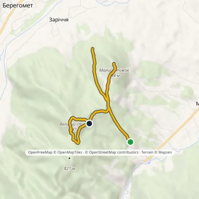 EasyOne-dayMarkedNature trail «To the Guardians of Nedeia»Elevation profile576–863 m5.4 kmascent 428 m≈ 2 h walking
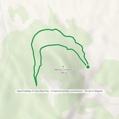
 EasyOne-dayMarkedNature trail «Stizhok»Elevation profile464–795 m3.5 kmascent 317 m≈ 1.5 h walking
 EasyOne-dayMarkedTrail «In the Footsteps of Count Wassilko»Elevation profile557–672 m3.3 kmascent 94 m≈ 1 h walking
Craft nearby
All craft places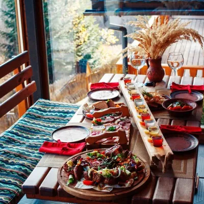 Koliby & Hutsul cuisineKolyba of the Karpaty complex, MyhoveMyhove10 km from the trailThe Kolyba in Myhove is the restaurant of the Karpaty cottage complex on the main street of Myhove, Bukovyna’s ski resort in the Vyzhnytsia district.
 Eco farmsPrykarpatskyi Ravlyk Snail Farm, BahnaBahna16 km from the trailPrykarpatskyi Ravlyk snail farm is one of the few food farms in the Vyzhnytsia area that welcomes visitors not just to buy produce but for a proper farm visit.
 Markets & fairsNight Wood Market, KutyKuty18 km from the trailThe night bazaar in Kuty is the most colourful woodwork market in the Hutsul region, and it vanishes at dawn.
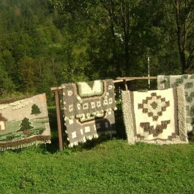 Crafts & workshopsHutsul Grazhda Folk Art Centre, YavorivYavoriv25 km from the trailThe village of Yavoriv near Kosiv is known as the capital of Hutsul lizhnyk weaving. Woollen blankets are woven in almost every other house here, and in summer...
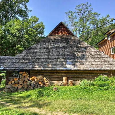 Ethno parks & homesteadsLived-in Hutsul Grazhda on Ihrets, KryvorivniaKryvorivnia25 km from the trailOn the slopes of the Ihrets ridge above Kryvorivnia stands one of the few lived-in Hutsul grazhda homesteads still inhabited and farmed by a family.
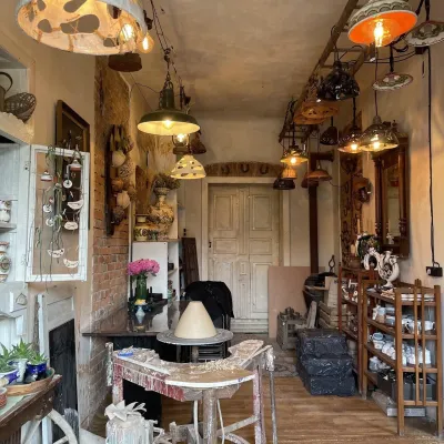 Craft shopsFiraworkshop author ceramics studio-shop, KosivKosiv25 km from the trailFiraworkshop is a creative studio of author ceramics in Kosiv, at 213 Nezalezhnosti Street, where you can both buy finished pieces and try working with clay yourself.
