Pokuttia-Bukovina Carpathians
Покутсько-Буковинські Карпати
Pokuttia-Bukovina Carpathians is a mountain range in the Outer Eastern Carpathians. It lies in Ukraine. Elevation ranges from 132 to 1,920 m over about 19,360 km².
- Elevation
- 132–1,920 m
- Area
- ≈ 19,360 km²
- Countries
- Ukraine
- Part of
- Outer Eastern Carpathians
On the map
Waymarked trails · 48
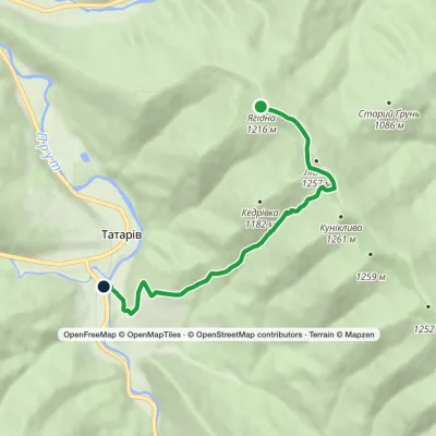 EasyOne-dayMarkedTatariv Mount YahidnaElevation profile679–1 232 m5.9 kmascent 46 m≈ 1.5 h walking
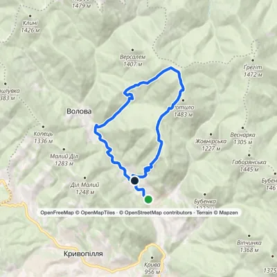 ModerateOne-dayMarkedVolova village loopvia Mount RotyloElevation profile775–1 441 m13.2 kmascent 709 m≈ 4.5 h walking
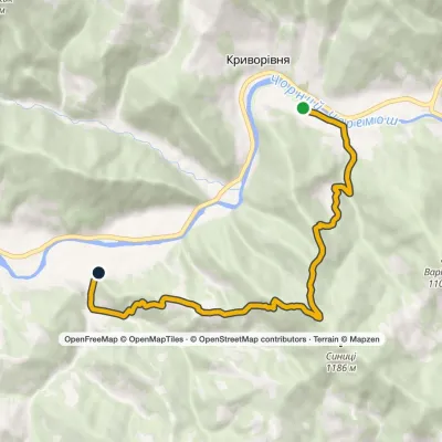 EasyOne-dayMarkedTo Dovbush ChambersElevation profile559–1 148 m7.9 kmascent 579 m≈ 3 h walking
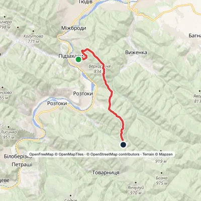 ModerateTwo-dayMarkedNimchych Pass Protiate KaminniaElevation profile477–828 m20.9 kmascent 550 m≈ 6.5 h walking
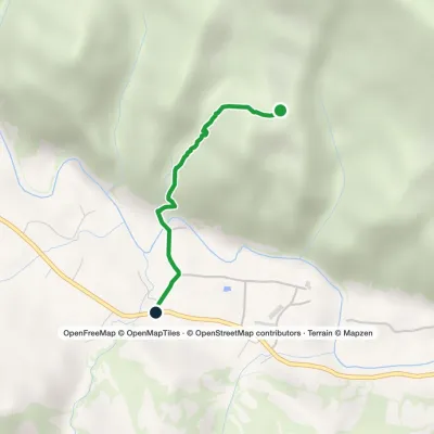 EasyOne-dayMarkedSheshory RosokhataElevation profile466–685 m1.6 kmascent 7 m≈ 30 min walking
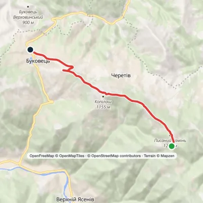 EasyOne-dayPysanyi Kamin Bukovets villageElevation profile813–1 223 m6.9 kmascent 62 m≈ 2 h walking
 ModerateTwo-dayBukovets village loopvia Pysanyi KaminElevation profile807–1 225 m12.4 kmascent 472 m≈ 4 h walking
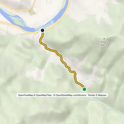 EasyOne-dayMarkedSmuharski WaterfallsElevation profile398–488 m4 km≈ 1 h walking
 EasyOne-dayMount Bila Kobyla VerkhovynaElevation profile613–1 466 m9.5 kmascent 27 m≈ 2.5 h walking
Peaks · 16
 PeakMount RotiloVolovaaltitude 1 483 m · Pokuttia-Bukovyna Carpathians range6 trails to the topRotylo is a peak in the Ukrainian Carpathians, the highest mountain of the Pokutsko-Bukovyna mountain range.
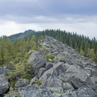 PeakMount KhordeTatarivaltitude 1 479 m · Pokuttia-Bukovyna Carpathians range6 trails to the topMount Khorde is a 1479-meter peak of the Ukrainian Carpathians, which is located within the Pokutsko-Bukovyna...
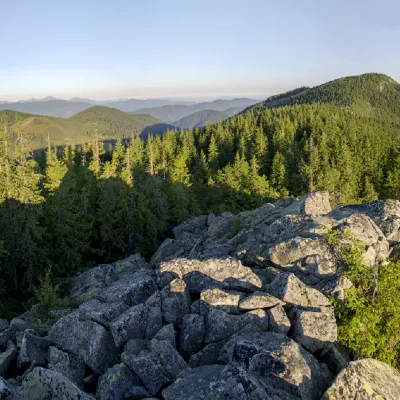 PeakMount Bila KobylaVerkhovynaaltitude 1 477 m · Pokuttia-Bukovyna Carpathians range5 trails to the topMount Bila Kobyla is a peak in the Ukrainian Carpathians, which is located within the Pokutsko-Bukovyna mountain range.
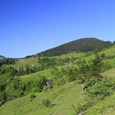 PeakMount GregitShepitaltitude 1 472 m · Pokuttia-Bukovyna Carpathians range7 trails to the topMount Gregit is a 1472-meter peak in the Ukrainian Carpathians, which lies within the Pokutsko-Bukovyna Carpathians.
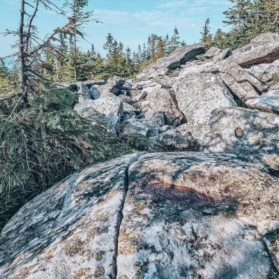 PeakMount Lysyna KosmatskaKosmachaltitude 1 465 m · Pokuttia-Bukovyna Carpathians rangeLysyna Kosmatska is a 1,465 m mountain (1,466 m by other data) in the Pokuttia-Bukovyna Carpathians.
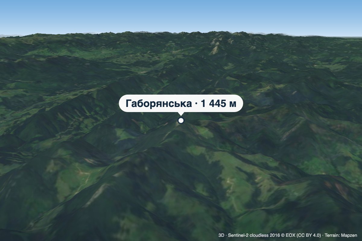 PeakMount HaborianskaStaishchealtitude 1 445 mHaborianska (also Haborianska Hyha) is a 1,445 m mountain (1,444.5 m exactly; some sources give 1,447 m) in the...
What to see · 78
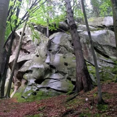 NatureProtyate Kaminnya (Sokolynye Oko)KhorovyProtyate Kaminni - a geological natural monument of local significance, a group of picturesque rocks.
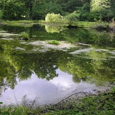 LakeLake Lebedyn (Sheshory)SheshoryLake Lebedyn (Lebedine) is located at an altitude of 650 m amidst beech forests and has been a protected area since...
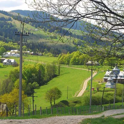 NatureBukovelian passBukovetsThe Bukovetsky pass is very picturesque and in its landscape beauty is in no way inferior to other passes in the...
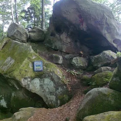 Historic siteDovbush's cave, Pidzakharychi.PidzakharychiThe brave leader of the opryshky did not ignore these places: not far from the Nimchych Pass, there was Dovbush's...
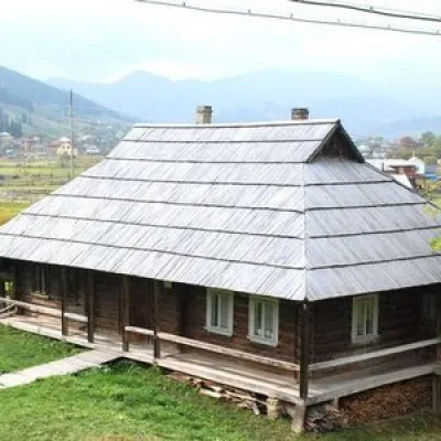 MuseumMuseum - cheese dairy "Hata Staya", VerkhovynaVerkhovyna"Hata Staya" is a Hutsul old house-museum where you can learn about and take part in the process of making budz...
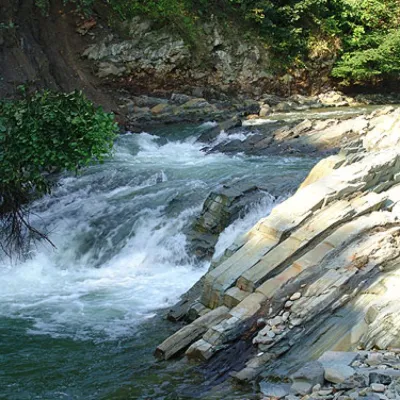 WaterfallKosivskyi Huk WaterfallKosivKosivskyi Huk - one of the most beautiful waterfalls in the Ukrainian Carpathians (in the Pokuttya-Bukovyna...
Craft and local food · 14
 Markets & fairsKosiv Market (Smodnyansky Market), KosivKosivKosiv (Smodnyansky) Market in Ivano-Frankivsk region is a treasure trove of folk traditions, a corner of...
 Mountain meadow860 mPolonyna Rosokhata (Sheshory)SheshoryWhy is the meadow called "Rosokhata"? The two parts of the field that form the branches look like dewdrops.
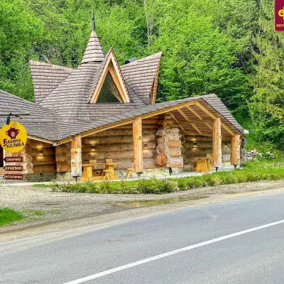 Koliby & Hutsul cuisineBabyna Kolyba, KryvorivniaKryvorivniaBabyna Kolyba («Granny's Koliba») serves authentic Hutsul food in Kryvorivnia, a village sometimes called the ...
Huts and shelters · 100
AllHut below Mount VesnarkaMountain shelter on Polonyna KramyHut below Mount LisnivHut at Velyke PryhodyshcheHut on Polonyna KurykivHut below Mount RotyloHut on Polonyna MunchelykHut on Polonyna HordishyrkaHut on Polonyna PozheratulPicnic shelter below Mount MakovytsiaHut on Polonyna Ledeskul (2)Hut on Rizhi ridgeHut on Polonyna RosokhataHut below Mount KopylashHut on Mount RoketaHut on Polonyna HundiakovaHut below Mount Mala-RokytaHut below Mount Kuniklyva
Springs · 157
AllLuzhky springClear WellSpring below Mount Rotylo (4)Spring (Kosmach, 3)Spring (Liuchky, 5)Spring (Volova, 5)Mineral spring “Solonets in Markivka”Mineral spring “Solonets”Spring below Mount Khorde (17)Spring below Mount RotyloSpring below Mount Rotylo (5)Spring below Mount Hrehit (2)Spring (Bukovets, 3)Spring (Mykulychyn, 26)Spring below Mount Khorde (18)Spring (Volova, 10)Spring (Kosmach)Spring (Kosmach, 2)
© EEA (CC BY 4.0) · GMBA Mountain Inventory v2 (CC BY 4.0) · © OpenStreetMap contributors (ODbL)
