Mount Gregit
1 472 m
Hiking route to Gregit mountain, Ivano-Frankivsk region, Ukraine
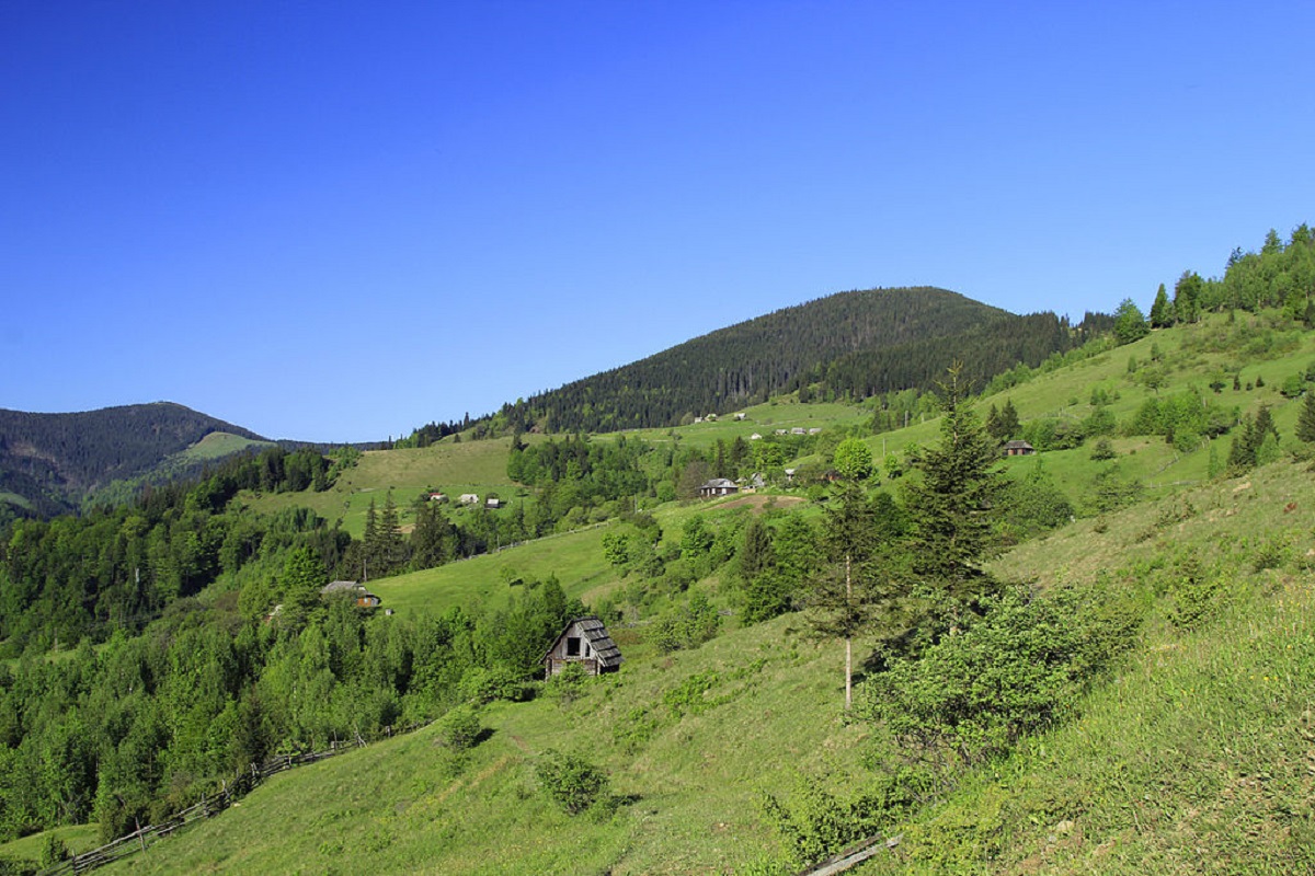
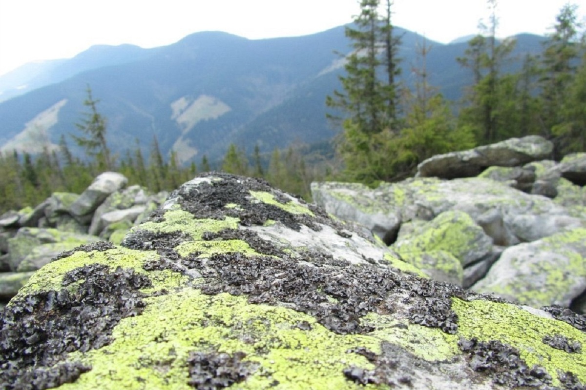
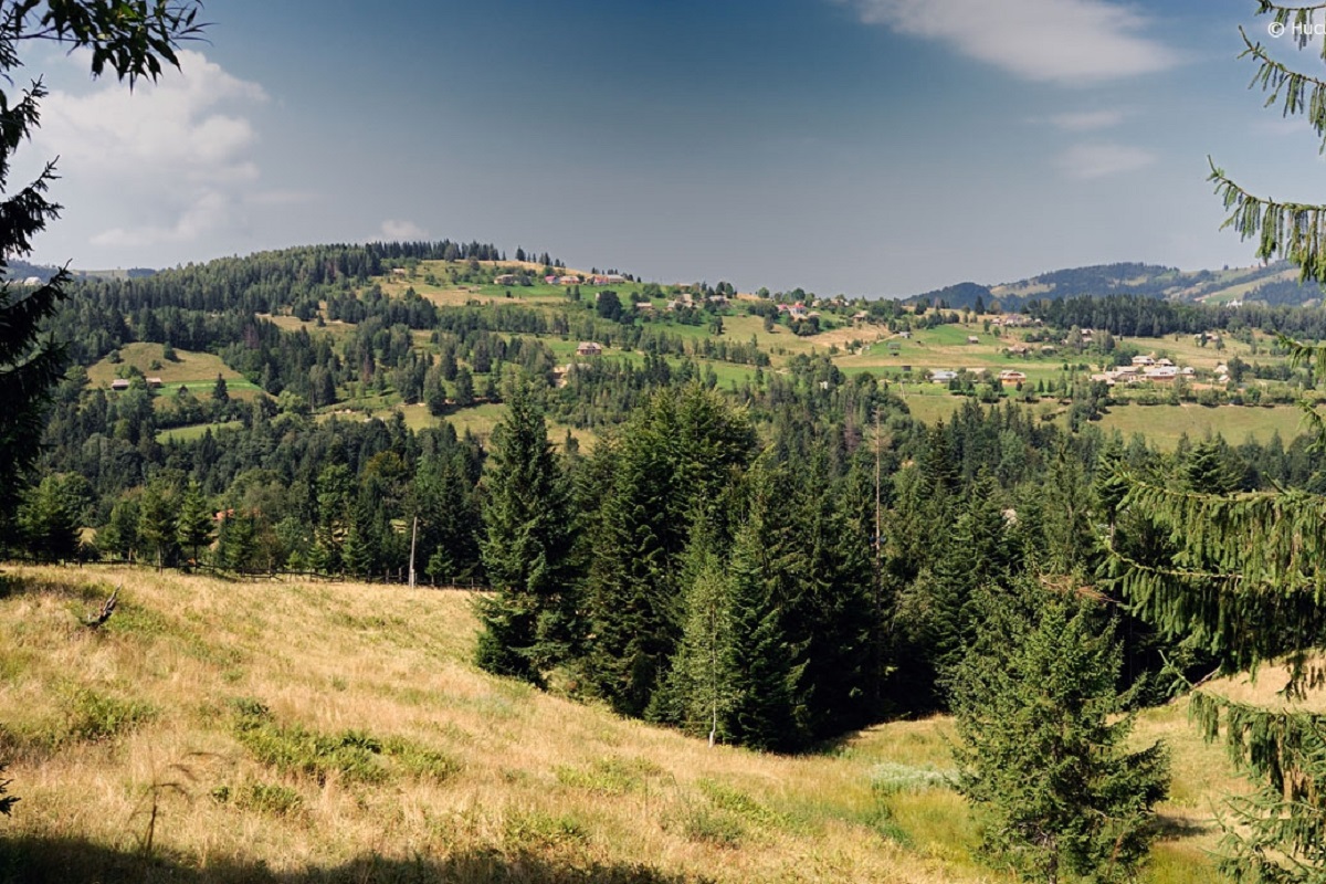
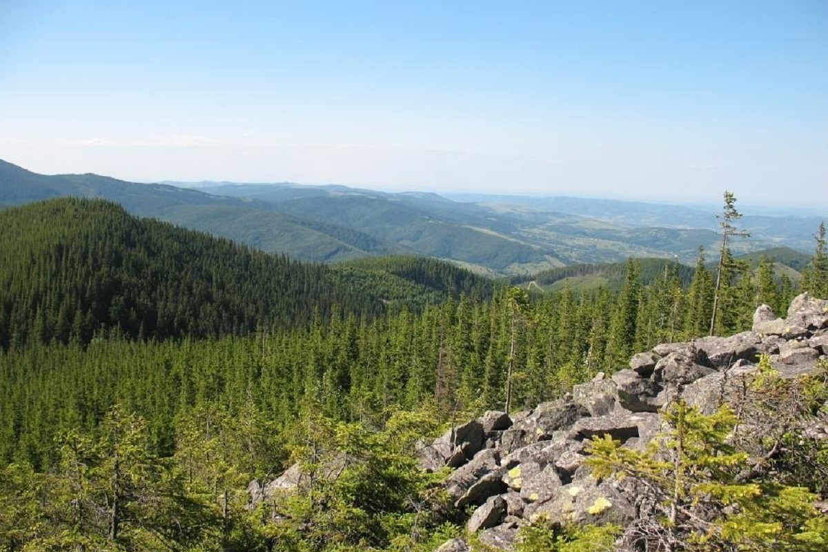
Mount Gregit is a 1472-meter peak in the Ukrainian Carpathians, which lies within the Pokutsko-Bukovyna Carpathians. It is located in the Kosiv district of Ivano-Frankivsk region, southwest of the village of Shepit.
The top of Mt. Gregit is unforested, the slopes are steep (especially in the eastern direction), rocky, and covered with forest. To the southwest is the highest peak of the Pokutsko-Bukovyna Carpathians - Mount Rotylo (1483 m), to the south - Mount Gaborianska (1444 m).
Mount Gregit is located within the Hutsulshchyna National Nature Park.
The nearest settlement is the village of Shepit, Kosiv district , Ivano-Frankivsk region.
Location on the map
Water and shelter nearby
- Spring below Mount Hrehit (9)450 m · Not verified · 1 312 m
- Spring below Mount Hrehit (6)570 m · Not verified · 1 287 m
- Spring below Mount Hrehit (5)590 m · Not verified · 1 283 m
- Spring below Mount Hrehit (8)670 m · Not verified · 1 309 m
- Hut below Mount Hrehit810 m · Not verified · 1 235 m
- Spring below Mount Hrehit (3)830 m · Not verified · 1 313 m
- Mountain shelter on Polonyna Kramy940 m · Standing · 1 288 m
- Spring below Mount Hrehit (2)990 m · Not verified · 1 280 m
- Spring below Mount Hrehit1.1 km · Not verified · 1 280 m
- Spring below Mount Hrehit (7)1.2 km · Not verified · 1 297 m
- Spring below Mount Hrehit (4)1.6 km · Not verified · 1 256 m
- Hut below Mount Vesnarka1.6 km · Standing · 1 263 m
- Spring (Volova, 12)2.6 km · Not verified · 1 262 m
- Spring below Mount Rotylo (7)2.6 km · Not verified · 1 040 m
- Spring below Mount Bubenska (3)2.6 km · Not verified · 1 258 m
- Spring below Mount Rotylo (5)2.7 km · Not verified · 1 392 m
Comments
Places to stay nearby
All stays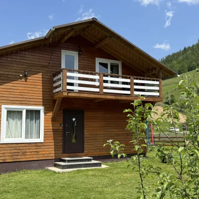 CottageDida's EstateVolova5.7 km from Mount GregitA modern cottage in the Carpathians for your vacation Located 890 m above sea level in the colorful Hutsul village of VolovaNearby: Polonyna Dil 2.5 kmMt Rotilo 3.1 km5 trails
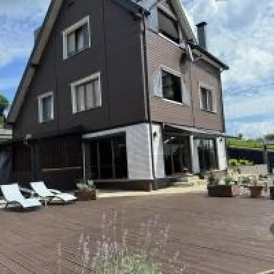 HomesteadUnderDilKryvopillia9 km from Mount GregitThe accommodation UnderDil is located in the village of Kryvopillia, just 42 km from the landmark "Vodospad Probiy".Nearby: Kryvopillia Pass 900 mPolonyna Dil 1.2 km6 trails
 HotelHotel-Restaurant "Bukov'yan"Kryvopillia10 km from Mount GregitHotel-Restaurant "Bukov'yan" offers a cozy getaway in the Carpathians, far from the hustle and bustle of the city.Nearby: Kryvopillia Pass 800 mPolonyna Dil 2.4 km6 trails
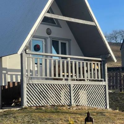 HomesteadHomestead "Bilosnizhny"Verkhovyna11 km from Mount GregitHomestead "Bilosnizhny" is located in the village of Iltsi, 250 meters from the main road, 8 km to the center of the village of Verkhovyna, near the Tatariv-Verkhovyna...Nearby: Assumption Church 2.8 kmMt Bila Kobyla 5.9 km17 trails
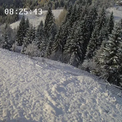 HotelCottage "Vyshche za Khmari" VerkhovynaVerkhovyna9.6 km from Mount GregitBBQKitchenParkingNearby: Museum of mushrooms 2.5 kmMt Bila Kobyla 4.7 km17 trails
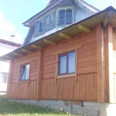 HotelHomestead "U Tinkalyuka"Verkhovyna10 km from Mount GregitBBQNearby: Assumption Church 1.8 kmMt Bila Kobyla 4.6 km14 trails
Trails via Mount Gregit
All 4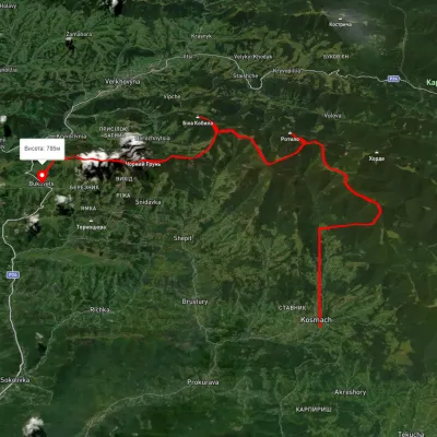 HardMulti-dayUnmarkedKosmach village to Bukovets villagevia Mount Rotylo, Mount Hrehit +1Elevation profile612–1 461 m40.2 kmascent 1 739 m≈ 13.5 h walking
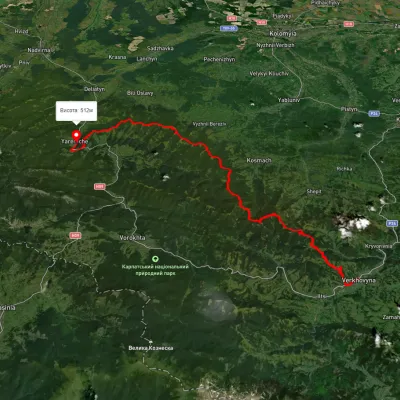 HardMulti-dayUnmarkedVerkhovyna to Yaremchevia Mount Bila Kobyla, Mount Makovytsia +1Elevation profile489–1 488 m63.8 kmascent 2 447 m
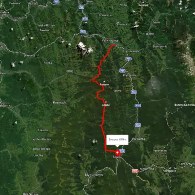 HardMulti-dayUnmarkedVerkhovyna to Tatariv villagevia Mount Bila Kobyla, Mount KhordeElevation profile611–1 461 m38.3 kmascent 1 485 m≈ 12.5 h walking
Nearby attractions
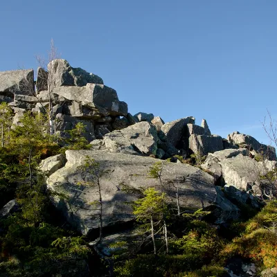 PeakMount RotiloVolovaaltitude 1 483 m · Pokuttia-Bukovyna Carpathians range2.8 km from Mount Gregit6 trails to the topRotylo is a peak in the Ukrainian Carpathians, the highest mountain of the Pokutsko-Bukovyna mountain range.
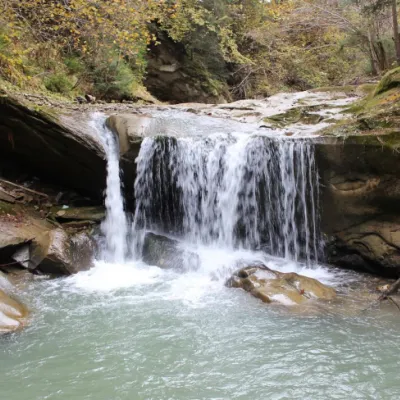 WaterfallShepitsky Hook Small waterfallShepit4.9 km from Mount GregitShepitskyi Huk Malyi is a waterfall in the Ukrainian Carpathians (Pokutsko-Bukovyna Carpathians). It is located within the Kosiv district of Ivano-Frankivsk region,...
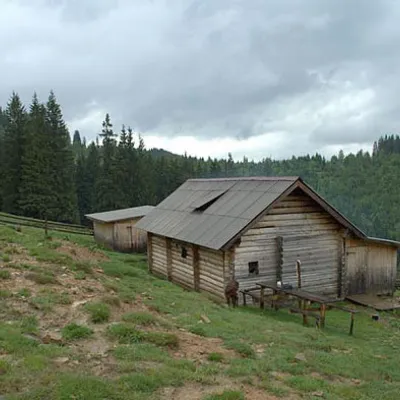 Mountain meadowPolonyna DilKryvopilliaaltitude 950 m7.9 km from Mount GregitShepherds graze cows in the meadow. You can buy dairy products from the shepherds, as well as take part in a master class on its preparation from May to October.