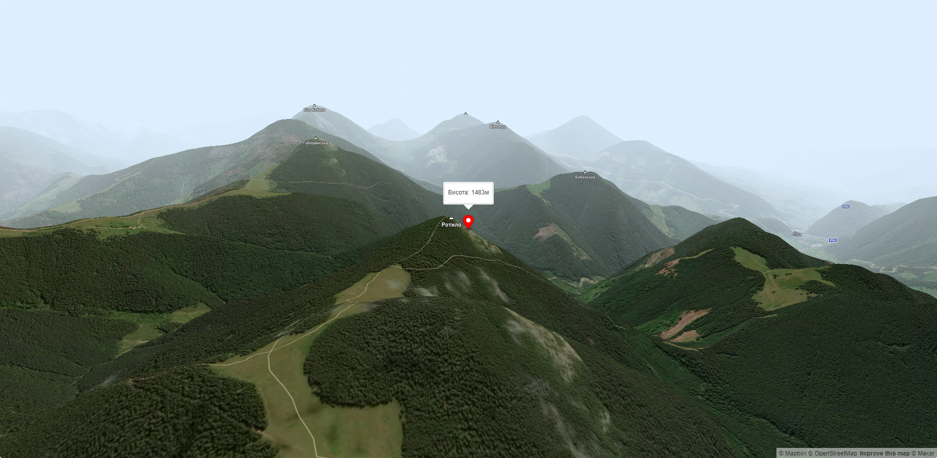
Mount Rotilo
Rotylo is a peak in the Ukrainian Carpathians, the highest mountain of the Pokutsko-Bukovyna mountain range. It is located in the north of the Verkhovyna district of Ivano-Frankivsk region, in the northwestern direction from the village of Verkhovyna.
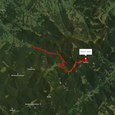
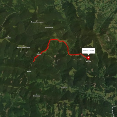
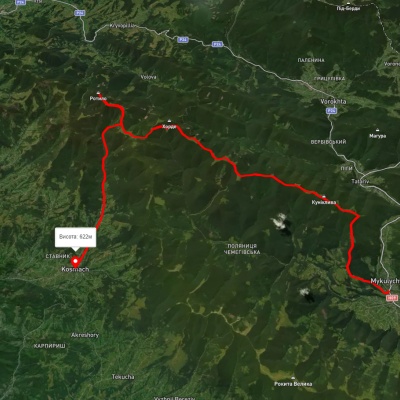
The height is 1483 m (according to other information - 1491 m).
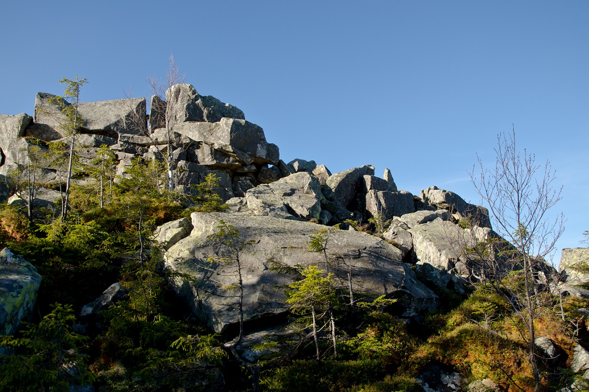
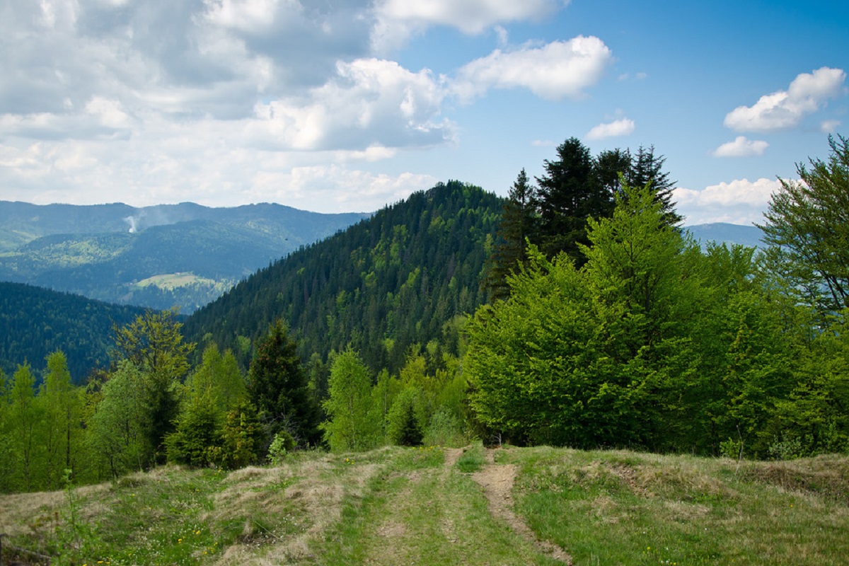
The top of Mount Rotylo has a conical, rather symmetrical, regular shape. The western and southern slopes of the mountain are steep, the northwestern slopes are more gentle, treeless, dismembered and covered with sand blocks.
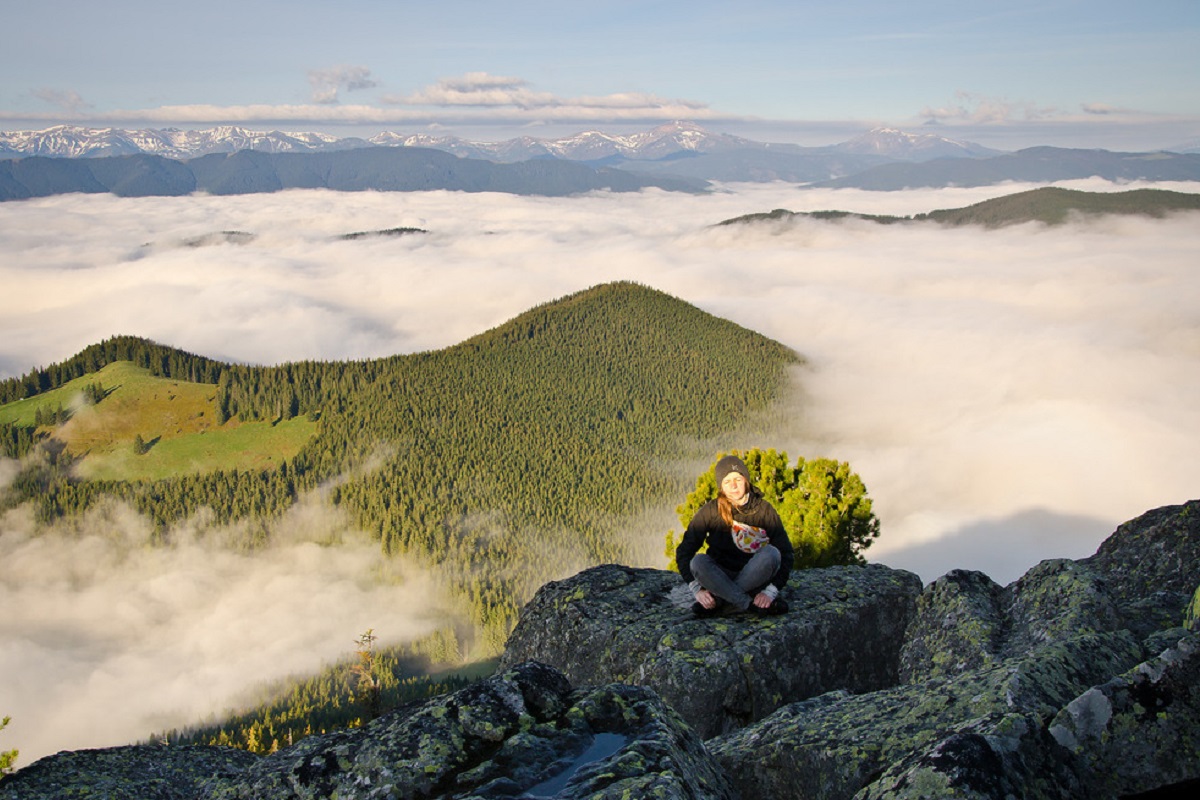
To the northwest of Mount Rotylo is Mount Versailles, to the northeast is Mount Gregit, to the southeast are Mount Bila Kobyla and Mount Gaborianska, and to the southwest is Mount Malyi Dil, behind which rises the Chornohora mountain range.
The nearest settlement is Volova village in Verkhovyna district of Ivano-Frankivsk region.
Accommodation around Mount Rotilo:


Nearby hiking trails near Mount Rotilo:
Which trails pass by Mount Rotilo?
We suggest these hiking trails through or near Mount Rotilo: Kosmach village – Mount Rotylo, To Mount Rotylo, Mykulychyn village, via Mount Khorde and Mount Rotylo to Kosmach village, Kosmach village, via Mount Rotylo, Mount Hrehit and Mount Bila Kobyla to Bukovets village, Volova village – Mount Rotylo – Volova village, Verkhovyna, via Mount Bila Kobyla, Mount Makovytsia and Dovbush Rocks to Yaremche