UnderDil


What to see nearby
The best within 10 km, as the crow flies
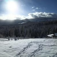
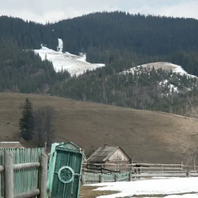 Kryvopillia PassNature · 900 m
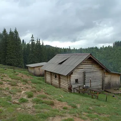 Polonyna DilMountain meadow · 1.2 km
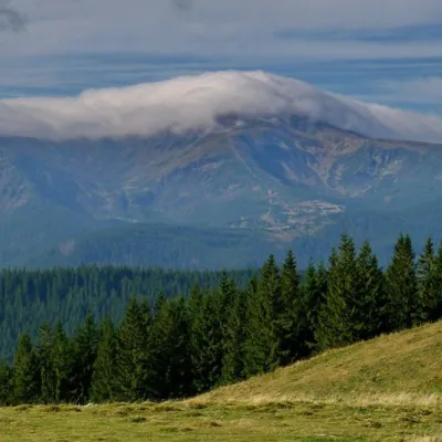 Kostrich RidgeNature · 4.4 km
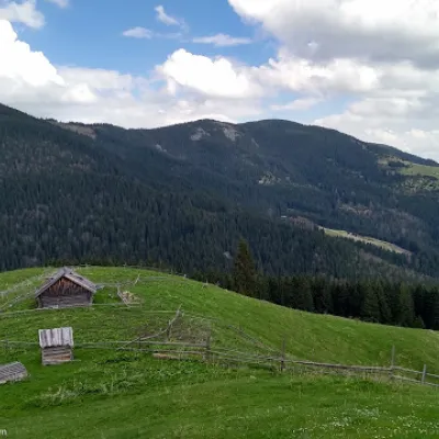 Mount BubenskaPeak · 5.9 km
 Mount RotiloPeak · 6.3 km
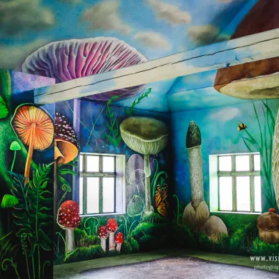 Museum of mushroomsMuseum · 8.5 km
Trails starting within 5 km: 6
The accommodation UnderDil is located in the village of Kryvopillia, just 42 km from the landmark "Vodospad Probiy". Guests have access to a private beach area, a shared lounge, and a shared kitchen. This property offers guests access to a balcony, free private parking, and free Wi-Fi. Playing darts will keep guests entertained. This accommodation (holiday home) with air conditioning consists of bedrooms (4), a living room, a fully equipped kitchen with a refrigerator and kettle, as well as bathrooms (3) with a shower and hairdryer. Bed linen and towels are provided for guests. UnderDil also offers barbecue facilities. Among the amenities/services of the accommodation, it is worth noting the seasonal outdoor pool and terrace, and in the surrounding area, guests can enjoy hiking and skiing. Guests can also use a hot tub and sauna (additional charge).
Location on the map
Reviews
Nearby attractions
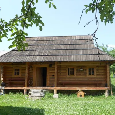 MuseumMuseum of Hutsul life, KrasnykKrasnyk8.8 km from UnderDilThe museum has been open since 2011. It is housed in a Hutsul house, which was built in 2009 on the model of the eighteenth century.
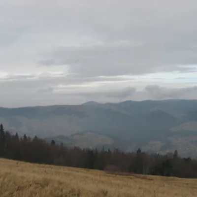 Mountain meadowPolonyna BorsuchynaVorokhtaaltitude 1 136 m9.3 km from UnderDilPolonyna Borsuchyna is located in Vorokhta, Ivano-Frankivsk region, at an altitude of 1136 meters in the Carpathians.
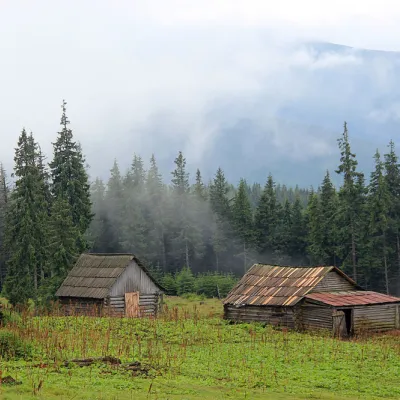 Mountain meadowPolonyna Kukul (Kukul), VoronenkoVoronenkoaltitude 1 440 m10 km from UnderDilPolonyna Kukul is a mountain meadow in the Ukrainian Carpathians, within the Kukul ridge (Kukul mountain - 1539 m), administratively located within the Zakarpattia...
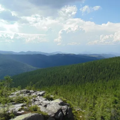 NatureKosmatska's bald headKosmach11 km from UnderDilThe name of the mountain - Lysyna Kosmatska - is partially confirmed by its appearance, because the slope of the mountain is covered with stone placers, huge slab...
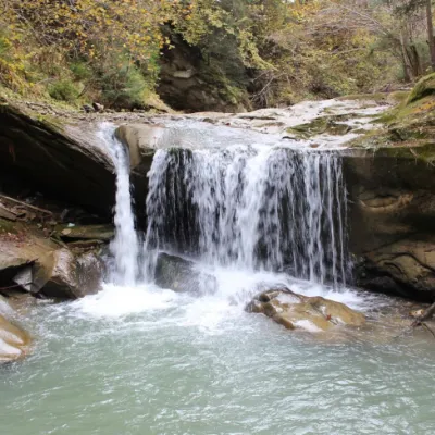 WaterfallShepitsky Hook Small waterfallShepit13 km from UnderDilShepitskyi Huk Malyi is a waterfall in the Ukrainian Carpathians (Pokutsko-Bukovyna Carpathians). It is located within the Kosiv district of Ivano-Frankivsk region,...
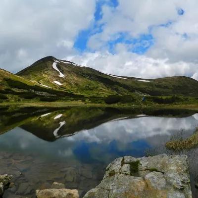 LakeHigh-mountainous Lake Nesamovite (1750 m.a.s.l., Chornohora ridge)Vorokhta14 km from UnderDilNesamovyte is one of the highest lakes in the Ukrainian Carpathians (1750 m above sea level). It is located within the Nadvirna district of Ivano-Frankivsk region.
Craft nearby
All craft places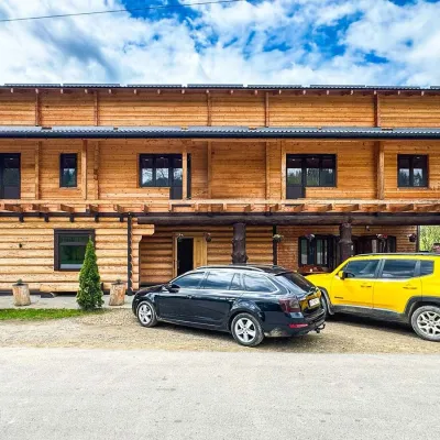 Koliby & Hutsul cuisineZRUB Ethno Restaurant, IltsiIltsi7.5 km from UnderDilZRUB Ethno Restaurant is a new log-built home of Hutsul cooking in the village of Iltsi, on the edge of Verkhovyna, the town often called the Hutsul capital.
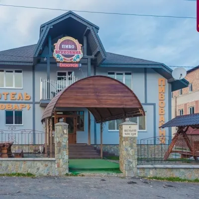 Craft beer & breweriesVerkhovyna Brewery at the Pyvovar Motel, VerkhovynaVerkhovyna11 km from UnderDilVerkhovyna Brewery operates at the Pyvovar motel on the approach to Verkhovyna, the Hutsul capital of the Carpathians.
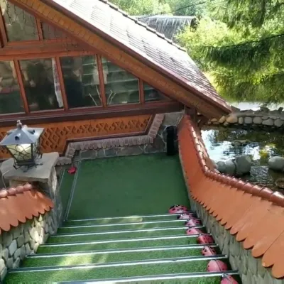 Koliby & Hutsul cuisineStara Vorokhta Restaurant, VorokhtaVorokhta12 km from UnderDilStara Vorokhta restaurant ("Old Vorokhta") is one of the best-known places for Hutsul food in Vorokhta: on Google Maps it is rated 4.6 from more than 6,300 reviews, a...
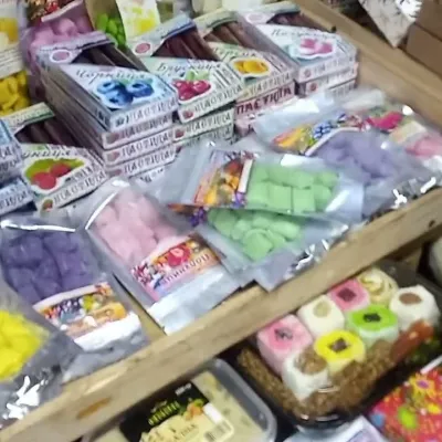 Markets & fairsSouvenir Bazaar by the Ski Jumps, VorokhtaVorokhta13 km from UnderDilThe souvenir bazaar in Vorokhta is one of the busiest little trading spots in the mountain Hutsul region.
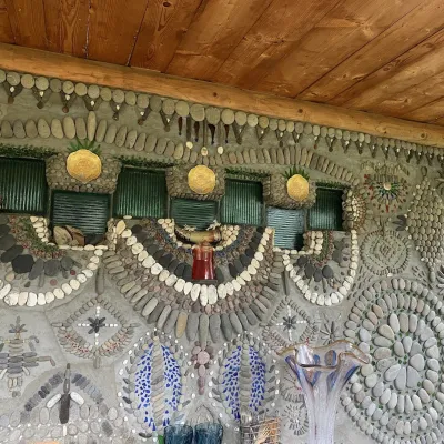 Ethno parks & homesteadsTsikava Sadyba Art and Ethno Homestead, VerkhovynaVerkhovyna13 km from UnderDilTsikava Sadyba («The Curious Estate») is a private art homestead in the very centre of Verkhovyna that local housewife and artist Oksana Susiak has been shaping since...
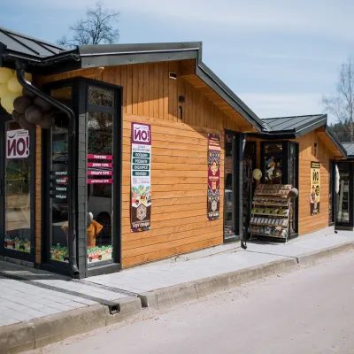 Markets & fairsTorhovyshche Souvenir Market, VerkhovynaVerkhovyna13 km from UnderDilTorhovyshche is a modern souvenir market right in the centre of Verkhovyna, the capital of the mountain Hutsul region.
Peaks nearby
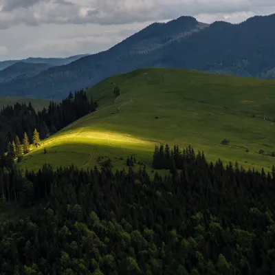 PeakMount Makovytsia (Kryvopillia)Kryvopilliaaltitude 1 161 m1.7 km from UnderDilMakovytsia is a 1,161 m summit above the village of Kryvopillia (about 2.3 km) in the Verkhovyna district of Ivano-Frankivsk Oblast.
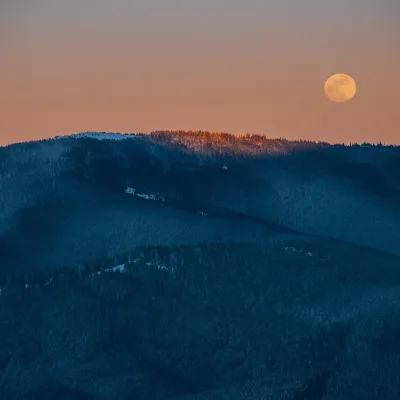 PeakMount KostrychaKryvopilliaaltitude 1 586 m · Chornohora range4.3 km from UnderDilKostrycha is the 1,586 m highest summit of the ridge of the same name. The Kostrycha ridge, which also includes Mount Kostrych (1,544 m) and Mount Kostrytsia (1,512 m)...
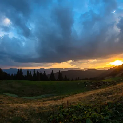 PeakMount KostrychKryvopilliaaltitude 1 544 m · Chornohora range4.7 km from UnderDilKostrych is a 1,544 m summit on the Kostrycha ridge, in the Verkhovyna district of Ivano-Frankivsk Oblast.
Trails nearby
All trails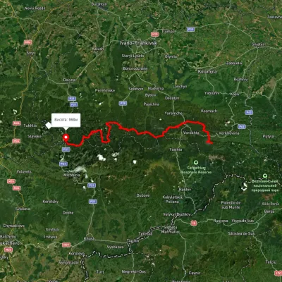 HardMulti-dayMarkedEast Carpathian Tourist TrailElevation profile635–1 819 m278.1 kmascent 14 105 munder 1 km from UnderDil
 HardMulti-dayUnmarkedKryvopillia village to Kvasy villagevia Mount Turkul, Mount Hoverla +1Elevation profile535–2 052 m50.5 kmascent 2 989 munder 1 km from UnderDil
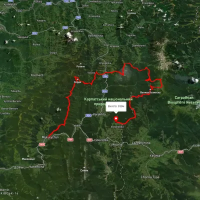 HardMulti-dayUnmarkedMykulychyn village to Voronenko villagevia Mount Khorde, Mount Pozhyzhevska +2Elevation profile585–2 036 m93 kmascent 4 482 munder 1 km from UnderDil
