Mount Makovytsia (Kryvopillia)
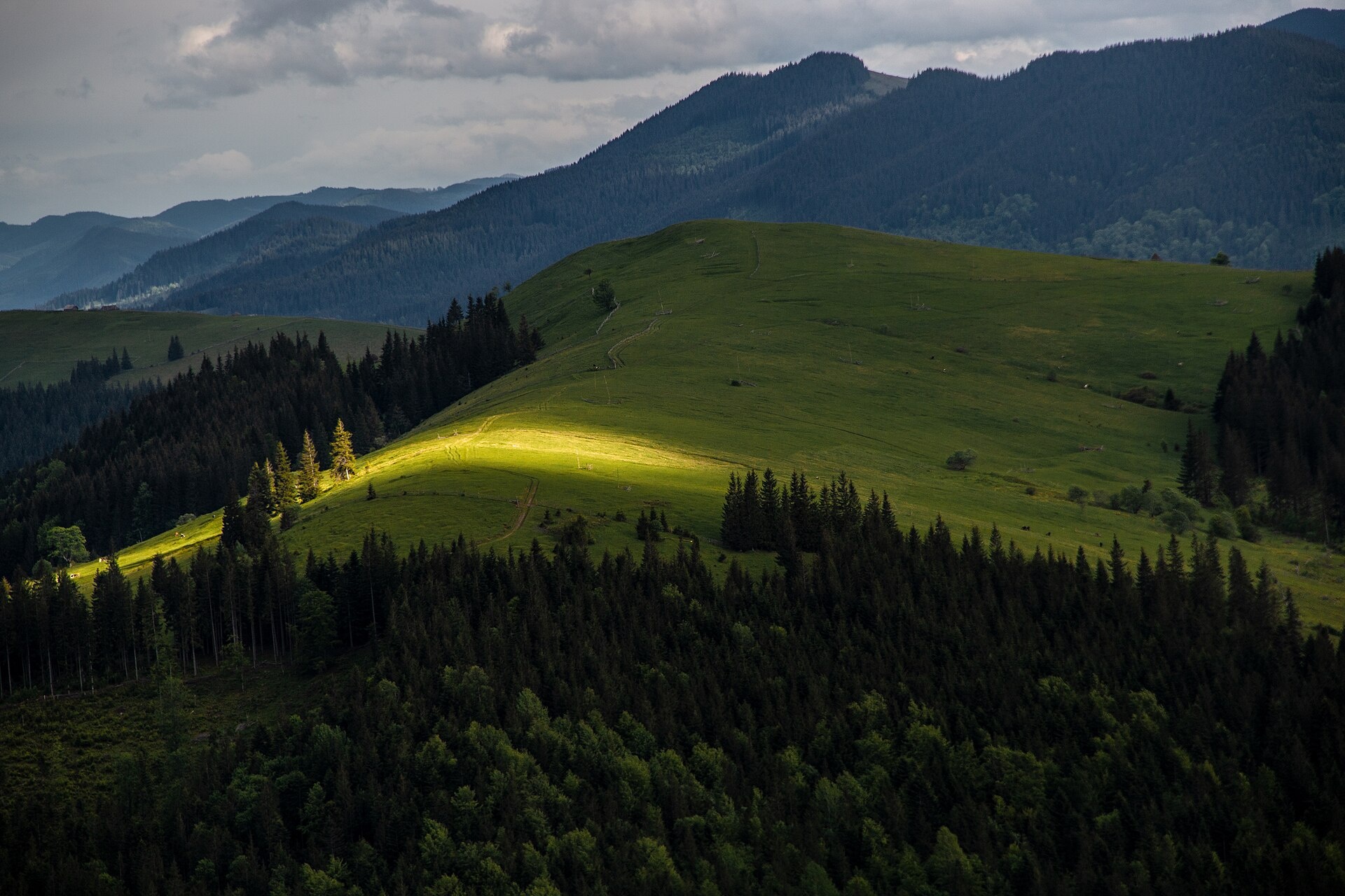
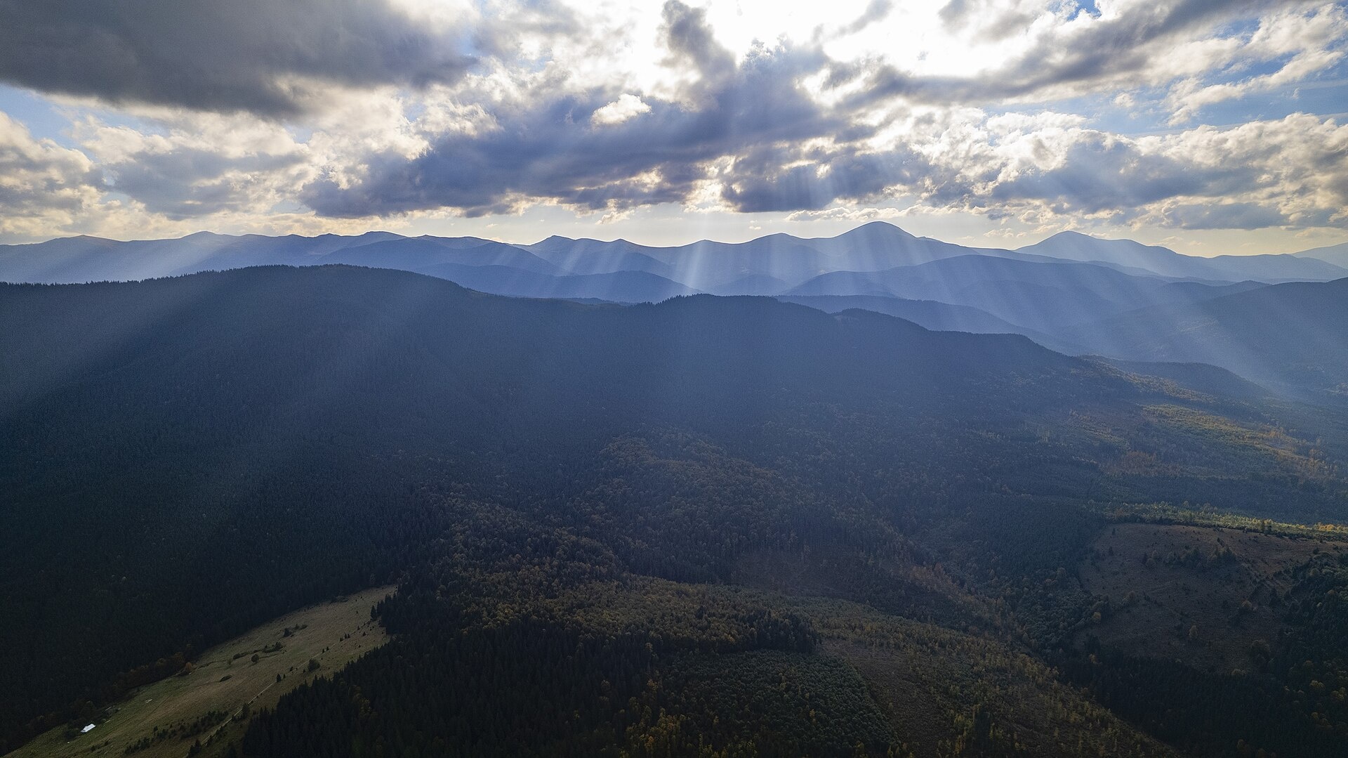
Makovytsia is a 1,161 m summit above the village of Kryvopillia (about 2.3 km) in the Verkhovyna district of Ivano-Frankivsk Oblast. It stands near the Kryvopillia Pass on the divide between the Prut and the Chornyi Cheremosh, crossed by the Vorokhta – Verkhovyna road. Other nearby villages are Volova (5.4 km) and Staishche (5.7 km). Do not confuse it with the mountains of the same name near Yaremche and in Zakarpattia.
South of Makovytsia rises the Kostrycha ridge: its highest peak, Kostrycha (1,586 m), lies about 2.6 km to the south-west, and Kostrych (1,544 m) 3.4 km to the south. Close by are Mahura Velyka (1,147 m, about 2 km to the west) and Mahura Mala (1,066 m, 3 km to the north-west), while Dil Malyi (1,248 m) stands 3.9 km to the north-east.
How to get there
There is no marked path to the top of Makovytsia, but several of our routes from Kryvopillia pass about 330–420 m from it. Closest, at about 330 m, are Voronenko – Mount Kukul – Kryvopillia (26.9 km) and Dzembronia – Pip Ivan (Chornohora) – Shpytsi – Kryvopillia (44 km). From Kryvopillia to Chornohora lead Kryvopillia – Shpytsi – Hoverla – Zaroslyak base (33.3 km) and Kryvopillia – Rebra – Brebeneskul – Dzembronia (34.6 km). The East Carpathian Tourist Trail runs nearby too. From these paths you have to climb to the summit through unmarked forest.
Water, shelter and safety
On our map the nearest springs are about 450–560 m to the north-west (at about 1,065 m) and 650 m to the east; their condition is unknown. Near the pass, about 1.3 km to the north, several weather shelters and a picnic shelter are marked, with another spring about 1.4 km to the north-east. The slopes are wooded, so navigate with a GPS. The nearest summit with our forecast is the weather on Hoverla (about 13 km). In an emergency call 112 or 101 — contacts of the nearest units are on our mountain rescue page.
Interesting facts
- The height of the Kryvopillia Pass is given as 970 m or 1,013 m; its slopes are fairly gentle and easy to reach.
- In Kryvopillia, on the Rosysh Velykyi stream, there is the little-known Kryvopillia waterfall, about 3 m high — it looks best during the snowmelt.
Photos: Robert-Erik, CC BY-SA 4.0; Maksym Popelnyukh, CC BY 4.0 — Wikimedia Commons.
Location on the map
Comments
Places to stay nearby
 HotelHotel-Restaurant "Bukov'yan"under 1 km from Mount Makovytsia (Kryvopillia)Hotel-Restaurant "Bukov'yan" offers a cozy getaway in the Carpathians, far from the hustle and bustle of the city.Nearby: Kryvopillia Pass 800 mPolonyna Dil 2.4 km6 trails
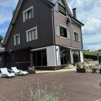 HomesteadUnderDil1.7 km from Mount Makovytsia (Kryvopillia)The accommodation UnderDil is located in the village of Kryvopillia, just 42 km from the landmark "Vodospad Probiy".Nearby: Polonyna Dil 1.2 kmKryvopillia Pass 900 m6 trails
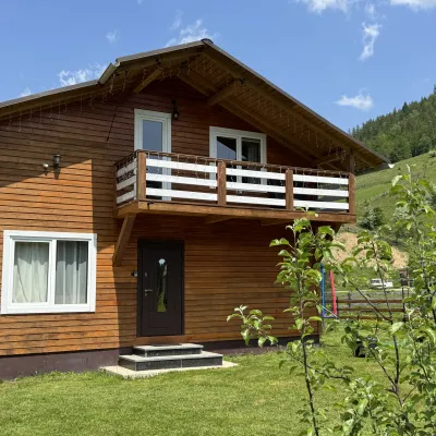 CottageDida's Estate5.4 km from Mount Makovytsia (Kryvopillia)A modern cottage in the Carpathians for your vacation Located 890 m above sea level in the colorful Hutsul village of VolovaNearby: Polonyna Dil 2.5 kmMt Rotilo 3.1 km5 trails
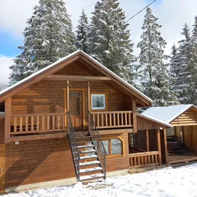 CottageOn the Mountain11 km from Mount Makovytsia (Kryvopillia)BBQKitchenWi‑FiNearby: Austrian viaduct bridge 2.5 kmPolonyna Borsuchyna 5.3 km8 trails
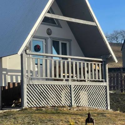 HomesteadHomestead "Bilosnizhny"11 km from Mount Makovytsia (Kryvopillia)Homestead "Bilosnizhny" is located in the village of Iltsi, 250 meters from the main road, 8 km to the center of the village of Verkhovyna, near the Tatariv-Verkhovyna...Nearby: Assumption Church 2.8 kmMt Bila Kobyla 5.9 km17 trails
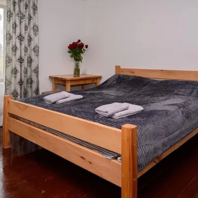 HomesteadHomestead "Sharm karpaty"11 km from Mount Makovytsia (Kryvopillia)SaunaSPABBQNearby: Polonyna Krinta 2.5 kmMuseum of mushrooms 2.8 km17 trails
Trails nearby
 HardMulti-dayUnmarkedDzembronia village to Kryvopillia villagevia Mount Pip Ivan Chornohirskyi, Mount ShpytsiElevation profile825–2 004 m44 kmascent 2 277 munder 1 km from Mount Makovytsia (Kryvopillia)
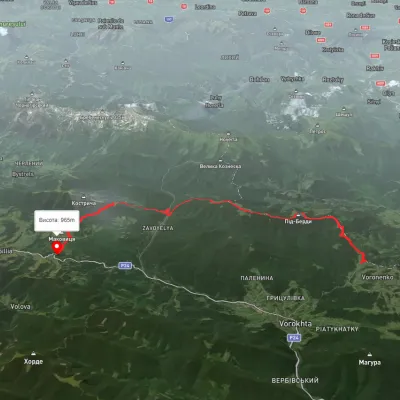 HardMulti-dayUnmarkedVoronenko village to Kryvopillia villagevia Mount KukulElevation profile-26–1 541 m26.9 kmascent 3 173 m≈ 13 h walkingunder 1 km from Mount Makovytsia (Kryvopillia)
 HardMulti-dayMarkedEast Carpathian Tourist TrailElevation profile635–1 819 m278.1 kmascent 14 105 munder 1 km from Mount Makovytsia (Kryvopillia)
Nearby attractions
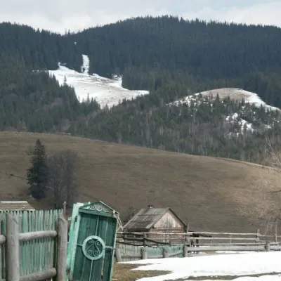 NatureKryvopillia Pass, Kryvopillia1.4 km from Mount Makovytsia (Kryvopillia)Kryvopillia Pass is one of the most difficult passes in the Ukrainian Carpathians. It is located within the Verkhovyna-Putyla lowlands (in its northwestern part), on...
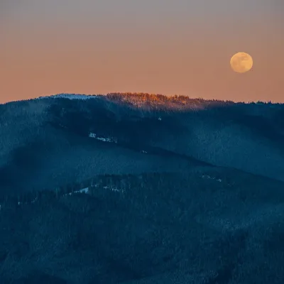 PeakMount Kostrychaaltitude 1 586 m · Chornohora range2.6 km from Mount Makovytsia (Kryvopillia)Kostrycha is the 1,586 m highest summit of the ridge of the same name. The Kostrycha ridge, which also includes Mount Kostrych (1,544 m) and Mount Kostrytsia (1,512 m)...
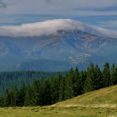 NatureKostrich Ridge2.6 km from Mount Makovytsia (Kryvopillia)The ridge is located in the Verkhovyna district and is a well-known tourist attraction in the Carpathians.